Window Rock Trail
in Colorado National Monument
Colorado | Colorado NM | Trails
Trail Rating:

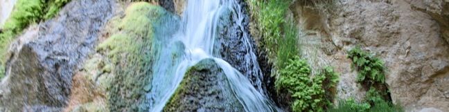
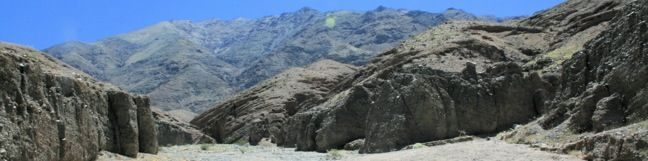
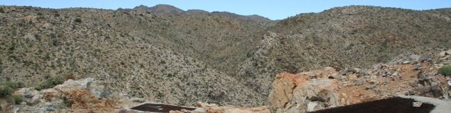
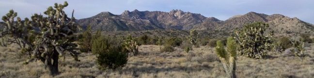
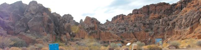
Window Rock Trail begins next to Bookcliff Shelter, not far from Saddlehorn Campground. The trail looks south into Monument Canyon and north over the cities below. This 1/3-mile round trip hike ends at a distinct point at the north end of the western wall of Monument Canyon where a natural window pierces the top of the cliff. Window Rock Window Rock Trail is wide and easy to follow, descending gradually about 60 vertical feet through a forest of Pinyon pines and Utah junipers. ...Read more.
By: Published: September 2, 2010 Last updated: December 5, 2025