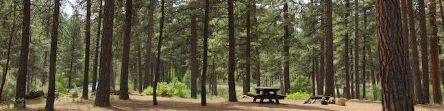
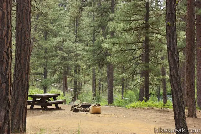
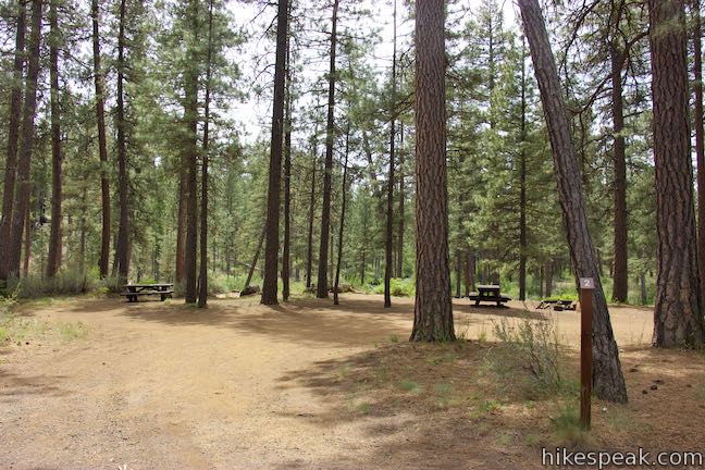
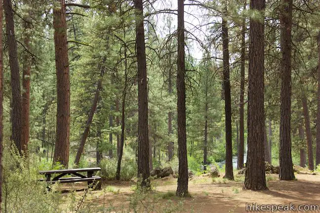
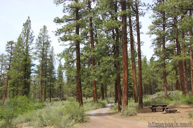
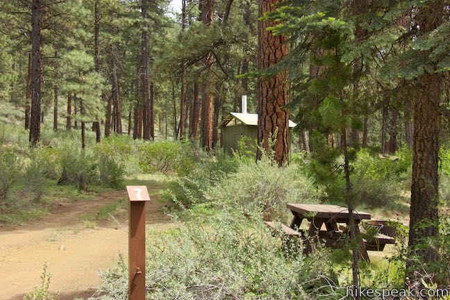
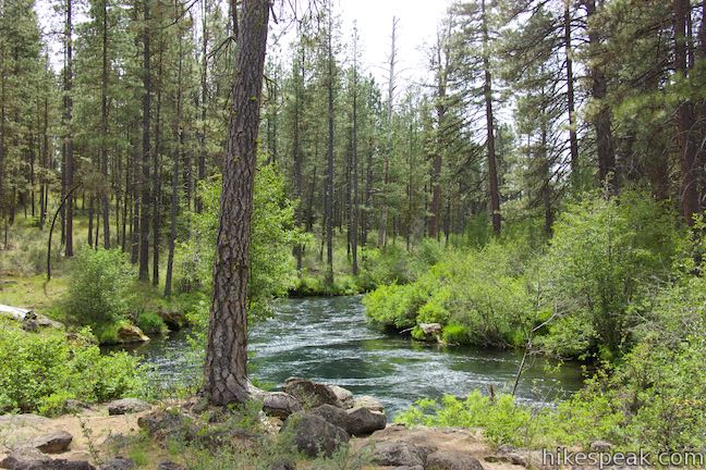
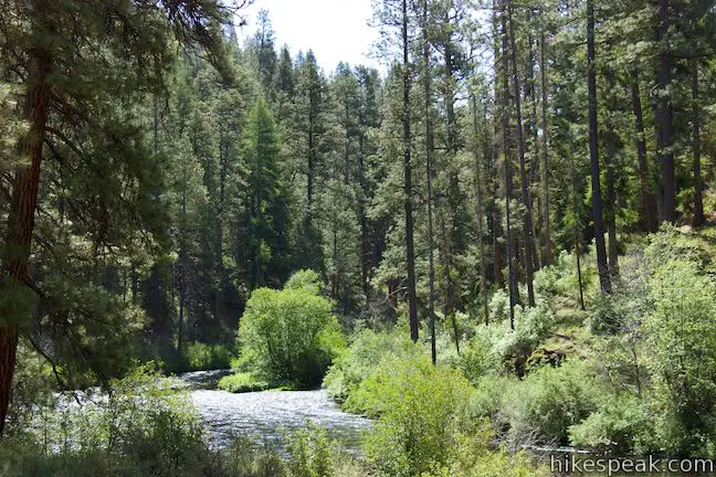
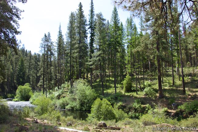
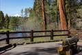
Seven sites are spread below ponderosa pines on a loop in Lower Canyon Creek Campground. This small and spacious campground is located in Deschutes National Forest near Camp Sherman and Sisters, Oregon. The campground borders the confluence of Canyon Creek and the Metolius River. Hikers can leave the campground on West Metolius River Trail to hike a short distance to a surprising springs and a fish hatchery.
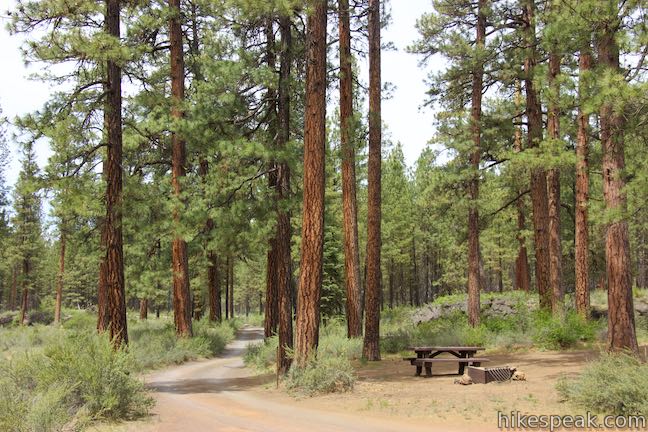
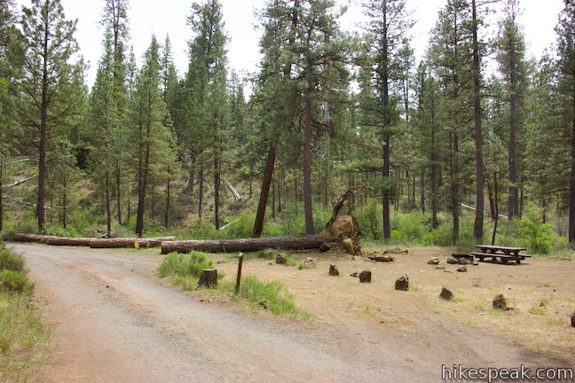
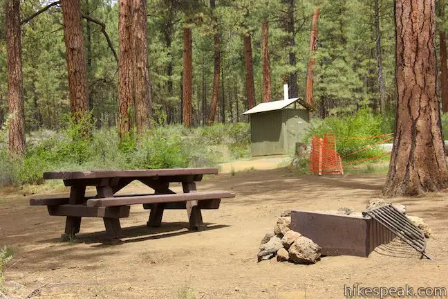
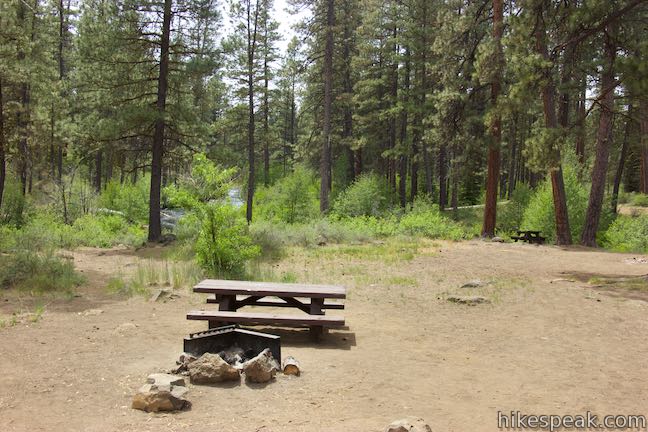
Lower Canyon Creek Campground is operated by Hoodoo Recreation Services as a concession with the U.S. Forest Service. Site come with picnic tables, fire rings, and large flat open areas for tents. The campground has a vault toilet and garbage collection, but no drinking water. Bring your own water.
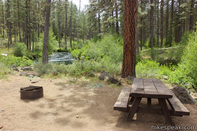
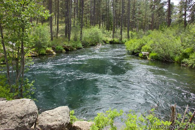
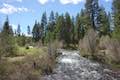
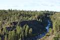
Campsites three and four are probably the most appealing as they are set back a bit from the campground loop road closer to where Canyon Creek flows into the Metolius River. Sit on the bank and watch the meeting waters swirl on the surface.
All seven sites are first-come first-served as the campground does not take reservations. Sites are $14 per night with a $7 charge for second vehicles (prices as of 2018). Campers with a senior pass to America’s public lands get a 50% discount. Pay in the iron box at the registration kiosk.
The campground is small and lightly used, open from Early May to mid-September. Checkout is at 2 p.m. The maximum length of stay is 14 days. Pets are welcome in the campground on leashes. Quiet hours are from 10 p.m. to 8 a.m.
To get to the campground: From Sisters, drive northwest on Route 20 for 9.5 miles. Turn right onto Camp Sherman Road and drive 2.7 miles to a split with Metolius River Road. Bear left to stay on Camp Sherman Road (Forest Road 1419). Drive 2.2 miles to a stop sign and continue straight onto Rankin Road (Forest Road 1420). Drive 3.3 miles and turn right at a sign reading “Canyon Creek CG. / W. Metolius TR. HD.” Drive 3/4 of a mile to a loop at the end of the road within Lower Canyon Creek Campground.
Campground address: Lower Canyon Creek Campground, National Forest Development Road 1420/400, Camp Sherman, OR 97730
Campground coordinates: 44.5025, -121.6423 (44° 30′ 08.99″N 121° 38′ 32.28″W)
Use the map below to create your own directions:


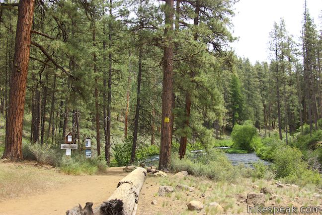
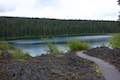
 | West Metolius River Trail The 5.4-mile hike follows the west bank of the Metolius River to incredible gushing springs and a fish hatchery. |
 | Head of the Metolius This 0.5-mile hike visits the surprising source of the Metolius River, a gushing spring accompanied by views of Mount Jefferson. |
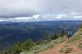 | Black Butte The 4-mile hike summits one of the most identifiable peaks in Central Oregon, which has fire lookout towers and panoramic views of the Cascade Mountains. |
 | Clear Lake Loop This charming 5-mile curcuit crosses lava fields and old-growth forests along the shore of a strikingly clear Cascadian lake. |
 | Shevlin Loop Trail This 4.75-mile tour of Shevlin Park just a few miles east of Bend explores pine forests on both sides of Tumalo Creek. |
 | Archie Briggs Canyon Trail This 1.25-mile hike descends a ravine to clifftop views over a dramatic canyon on the Deschutes River. |
 | Pilot Butte This 1.8-mile hike ventures up the dominant landmark in Bend to offer sweeping views of the majestic surroundings. |
 | Trails in Oregon Explore more hikes in Oregon outside the Bend area. |
