Shevlin Loop Trail
in Shevlin Park, Bend
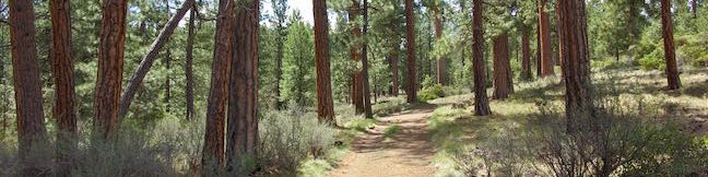
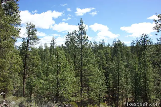
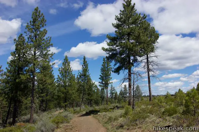
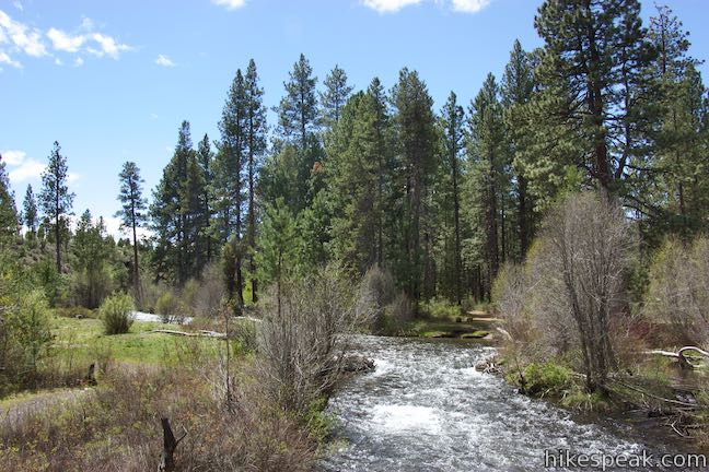
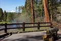
Shevlin Loop Trail explores pine forests along Tumalo Creek in Shevlin Park, which is just four miles west of downtown Bend. This pleasant woodland trail is mostly easy with a few rolling sections along the bluffs that border the creek. The loop is 4.75 miles long and explores much of Shevlin Park’s 647 acres. The hike has 240 feet of elevation change and crosses lovely Tumalo Creek at two points.
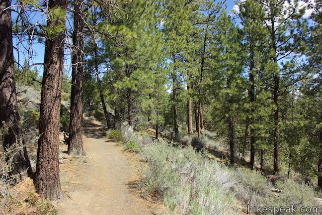
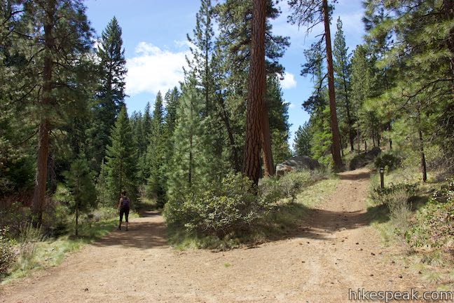
Shevlin Loop Trail is well marked, but passes through numerous junctions. Nearly every trail crossing is well marked, so follow the signs to make your way around the loop. Begin either from a parking area along Shevlin Park Road at the park entrance or from a parking area a little farther into the park. Starting at the roadside parking, walk or drive south down the park road. Get to another parking area after a tenth of a mile and find a trail kiosk. The first sign for Shevlin Loop Trail points to the right. Venture this way to begin along a dirt single track. To the left of the kiosk, a paved road travels farther south into the park and parallels the first stretch of the trail.
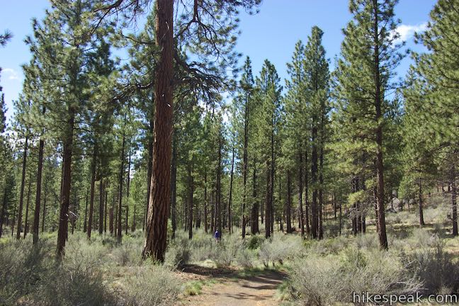
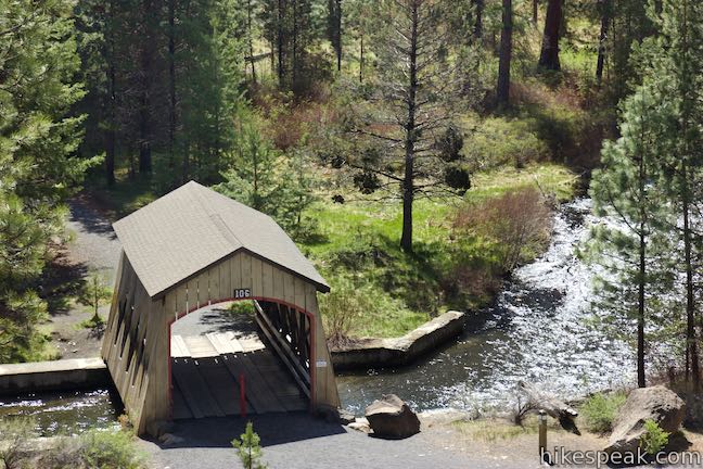
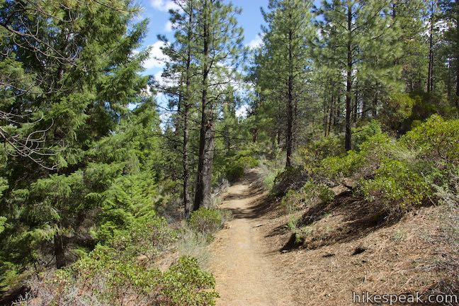
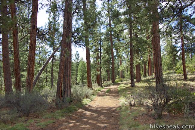
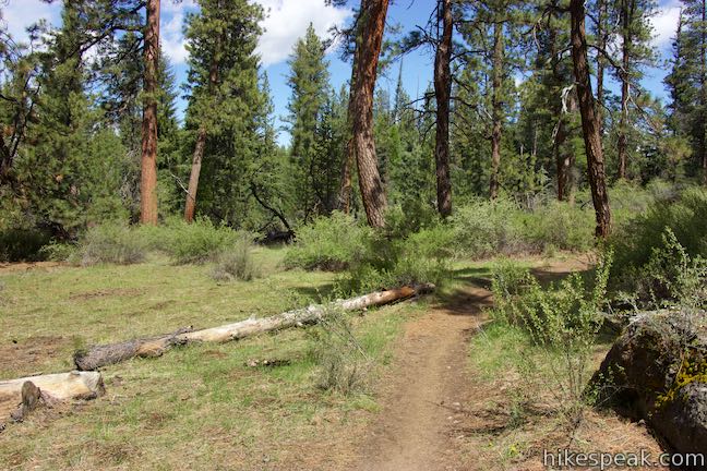
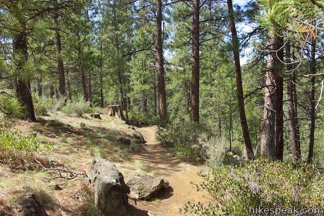
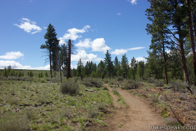
Shevlin Loop Trail is level at the start, passing through a loose forest of tall ponderosa pines. Once your legs have warmed up, the trail tips uphill, going over a rise to an intersection with a dirt service road. This first junction is not marked, but just hike straight through it and you’ll be fine (veering to the right works out too). Hike a short distance past the service road to a landing looking over Tumalo Creek where it is crossed by a charming old railroad bridge.
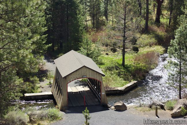
Stay to the right past a trail that drops toward the creek, labeled Historic Shevlin Railway and immediately come to another junction. The service road you crossed previously goes to the right. Turn left to continue the loop. A few paces past this junction, a path to the left goes out to a viewpoint above the creek for a better look at the old wood bridge with a shingled roof.
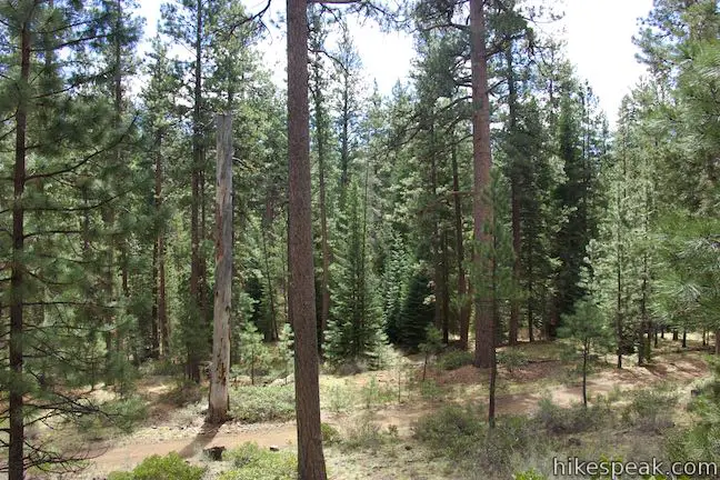
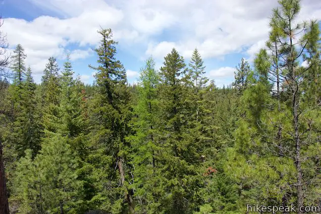
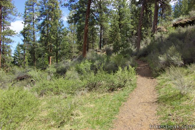
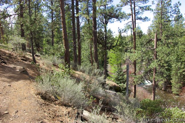
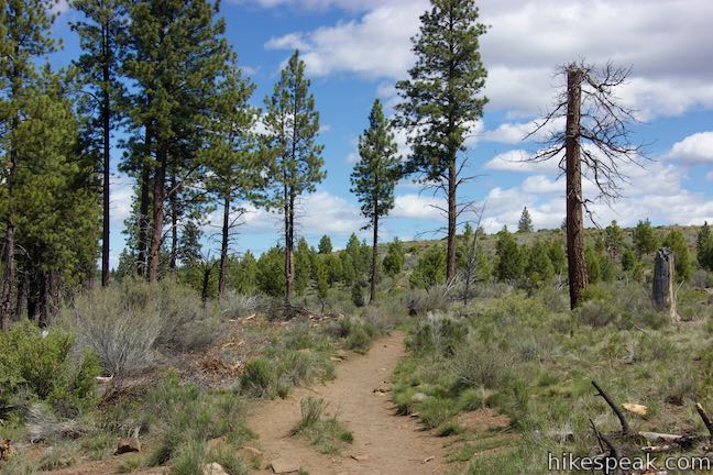
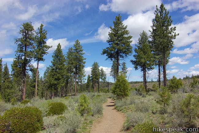
Moving forward, Shevlin Loop Trail goes along a pine-covered slope with occasional views of the creek. Simply enjoy the forest. After almost a mile, you’ll come to a junction with Shevlin Interpretive Trail, which joins Shevlin Loop Trail from the left.
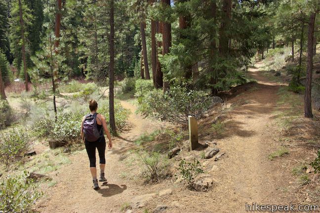
In another quarter mile, Shevlin Loop Trail and Interpretive Trail separate. Interpretive Trail continues straight ahead, maintaining the course you’ve been on, while Shevlin Loop Trail descends to the left.
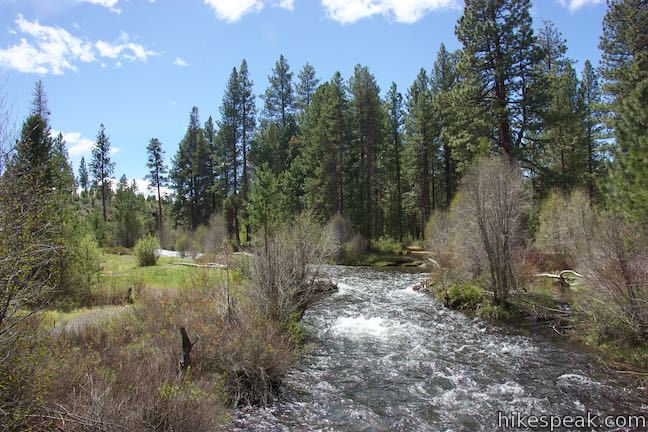
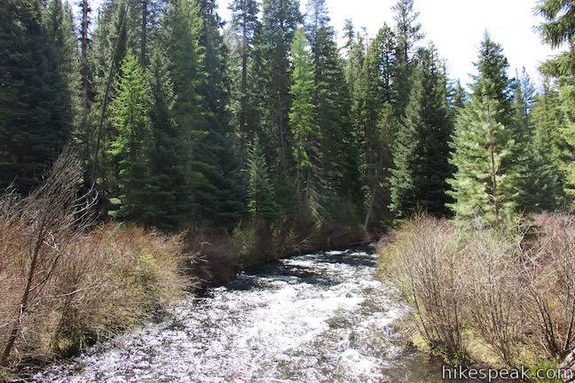
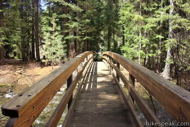
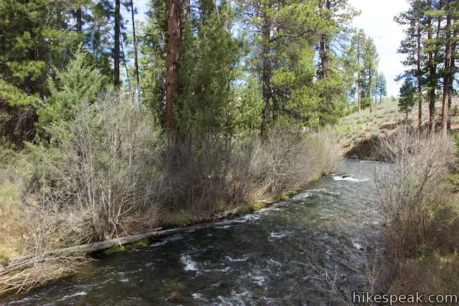
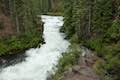
Take Shevlin Loop Trail down the slope to a 5-way junction with Mrazek Trail, Tumalo Creek Trail, and a lower side of Interpretive Trail. Bear slightly right to continue with Shevlin Loop Trail. Almost immediately, you will hit another split. Tumalo Creek Trail goes to the right, but you should turn left and make your way to the bank of Tumalo Creek, 2.3 miles from the start. An arcing footbridge leads to the other side, offering a good perspective up and down the wide stream as it tumbles through the pine forest.
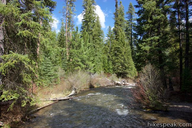
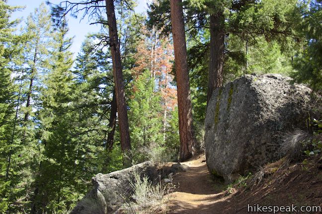
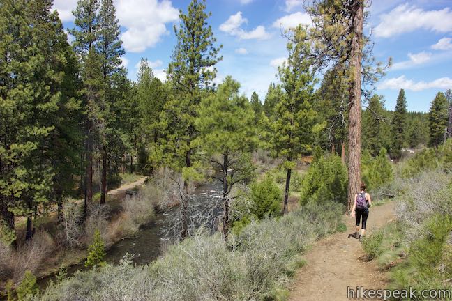
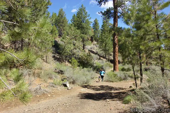
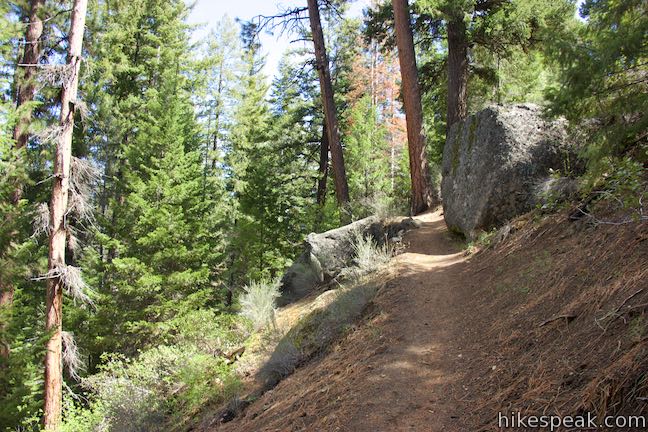
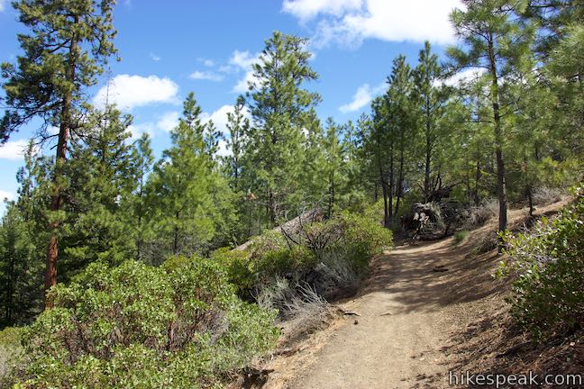
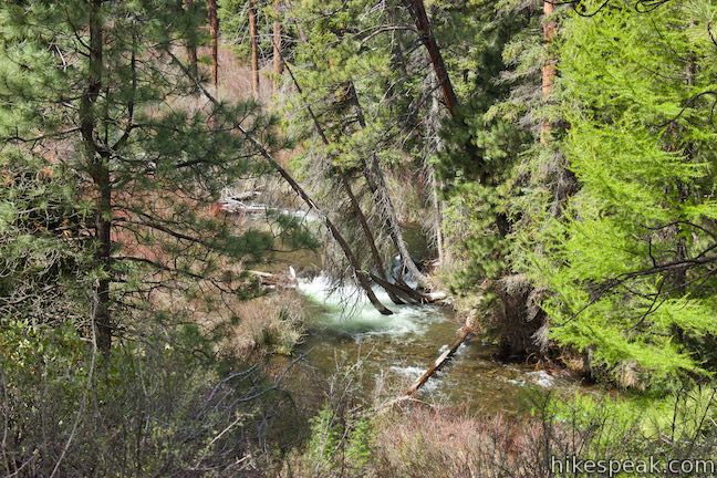
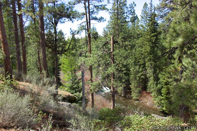
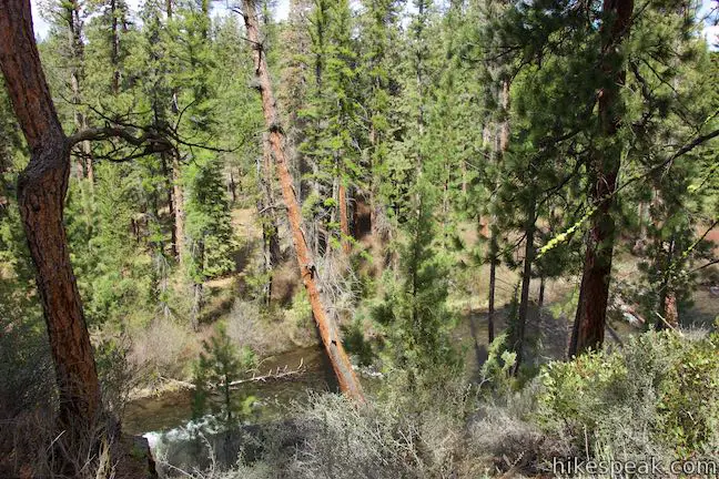
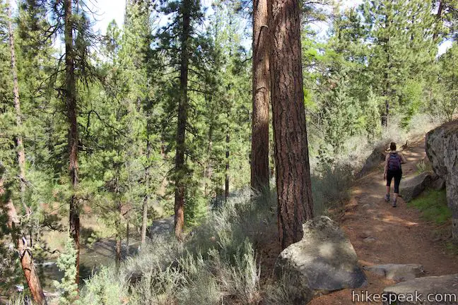
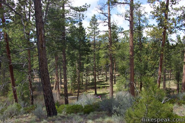
Across the bridge, the trail turns right and swings to the left to ascend the steeper slope on the east side of the river. The trail rolls along bluffs between large boulders and tall pines. You can listen to the creek below and see it at several points.
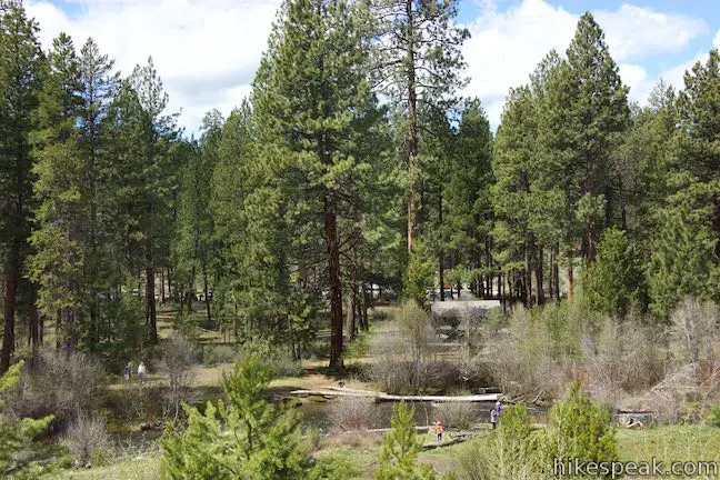
About 0.4 miles past the bridge, come to a junction with a trail kiosk. Continue straight on Shevlin Loop Trail. Drop into a gully and cross a short log bridge over a ditch to come to a small grassy meadow. This is a charming spot along the loop.
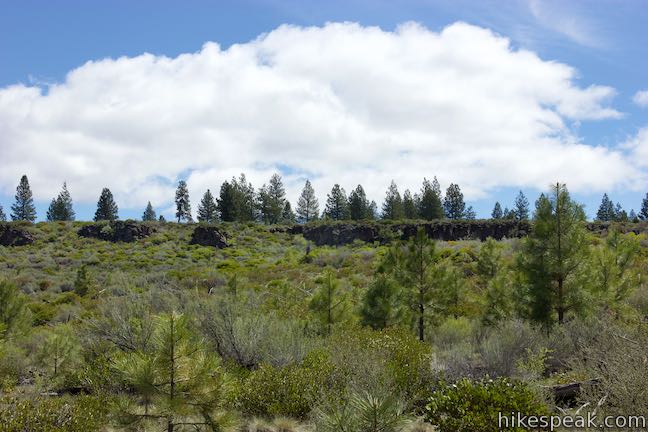
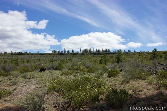
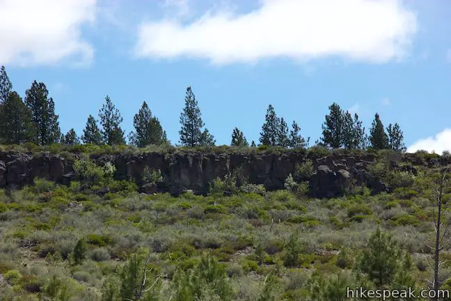
The trail rises again, coming to a junction where you’ll stay to the left. Enjoy some of the loop’s best views over Tumalo Creek as it flows through the forest below. At 1.25 miles past the bridge, turn left on a service road, taking this wide trail for the next 0.2 miles. Over this stretch, look to your right to see cliffs of volcanic rock bordered by a few houses on the edge of Bend.
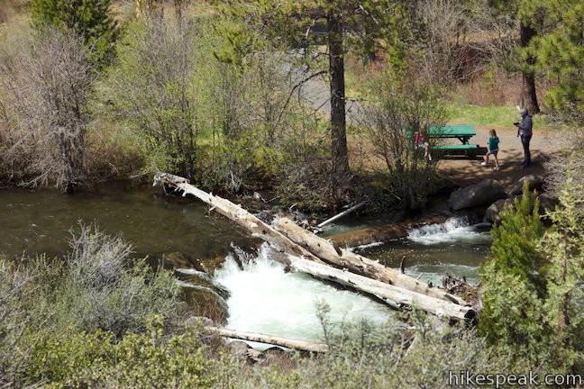
Turn left at the next junction, returning to a single track. Go straight through a junction after another tenth of a mile, passing a trail that descends to the left toward Tumalo Creek Trail. This trail is visible below, passing picnic tables surrounding a bridge over an inviting section of the creek.
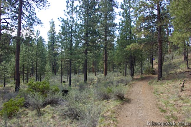
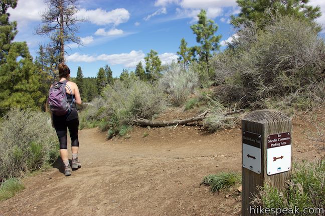
Proceed through a loose forest of pines above Tumalo Creek, bordering an open area of grasses and sagebrush to the right. Meet a trail to Shevlin Commons Parking Area, 2.15 miles from the bridge and bear left to stay on Shevlin Loop Trail.
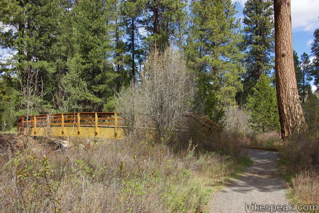
The trail makes its way downhill, swinging through a switchback to the left. Walk through a flat area along Tumalo Creek, curving to the right to find the loop’s second bridge. Soak up one final taste of the creek as you cross to the other side.
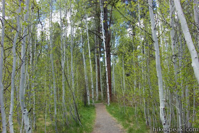
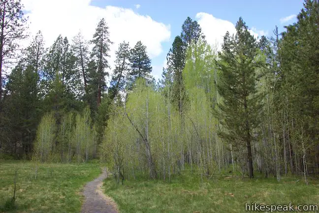
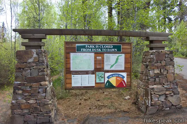
You’ll find one final junction on the far side of the bridge. Tumalo Creek Trail goes to the right toward an underpass below Shevlin Park Road. If you parked along Shevlin Park Road, continue straight ahead, hiking a tenth of a mile through a lovely grove of young aspens to return to the parking area, exiting the forest by a park sign suspended by stone columns. If you parked at the trailhead set back from the road, turn left when you cross the bridge and walk through a picnic area back to your vehicle.
The basic directions for this loop are:
- Walk south from the parking area along Shevlin Park Road (0 miles)
- Turn right at the trail kiosk to begin up the trail (0.1 miles)
- Cross a service road (2/3 of a mile)
- Bear right past a trail down to the railroad bridge (0.7 miles)
- Turn left at a second junction with the service road (0.7 miles)
- Stay to the right through the first junction with Interpretive Trail (1.95 miles)
- Turn left, descending away from Interpretive Trail (2.2 miles)
- Make a slight right at a multi-point junction (2.25 miles)
- Bear left at a split to reach a bridge over Tumalo Creek (2.3 miles)
- Pass a trail kiosk (2.7 miles)
- Stay left at a trail merger (2.85 miles)
- Turn left onto a service road (3.55 miles)
- Turn left back onto a single track (3.75 miles)
- Go straight past a trail dropping to Tumalo Creek (3.85 miles)
- Stay left past a trail to Shevlin Commons Parking Area (4.45 miles)
- Cross a bridge over Tumalo Creek and go straight through a junction (4.65 miles)
- Return to the parking area along Shevlin Park Road (4.75 miles)
Shevlin Park is a popular destination that treats Bend residents to a nice slice of nature just outside the city. Shevlin Loop Trail offers a peaceful walk through pine forest. While it is never far from Tumalo Creek, that lovely flow is out of view more often than you might like. Both dogs and bikes are allowed on this loop. Parking at the trailhead is free and no permit is required to hike Shevlin Loop Trail, so get out and enjoy!
Directions to the Trailhead
- From Downtown Bend, drive west on Newport Avenue, crossing the Deschutes River at Mirror Pond.
- Go straight through three traffic circles over the first 1.25 miles.
- After the third circle, Newport Avenue becomes Shevlin Park Road.
- Take this road for another 2.7 miles.
- When the road drops to Tumalo Creek, turn left into the parking area where the hike begins.
Trailhead Location
Trailhead address: 18920 NW Shevlin Park Road, Bend, OR 97701
Trailhead coordinates: 44.083, -121.37785 (44° 04′ 58.79″N 121° 22′ 40.25″W)
You may also view a regional map of surrounding Oregon trails and campgrounds.


 | Archie Briggs Canyon Trail This 1.25-mile hike descends a ravine to clifftop views over a dramatic canyon on the Deschutes River. |
 | Pilot Butte This 1.8-mile hike ventures up the dominant landmark in Bend to offer sweeping views of the majestic surroundings. |
 | Tumalo Falls See Bend's best waterfall on a short walk to a downstream viewpoint or a half-mile round trip hike to an overlook by the top of the falls. |
 | Tumalo Falls Loop This 7.4-mile circuit ventures above Tumalo Falls and explores numerous other waterfalls and cascades on Tumalo Creek, combining North Fork Trail, Swampy Lakes Trail, and Bridge Creek Trail. |
 | Black Butte The 4-mile hike summits one of the most identifiable peaks in Central Oregon, which has fire lookout towers and panoramic views of the Cascade Mountains. |
 | Head of the Metolius This 0.5-mile hike visits the surprising source of the Metolius River, a gushing spring accompanied by views of Mount Jefferson. |
 | West Metolius River Trail The 5.4-mile hike follows the west bank of the Metolius River to incredible gushing springs and a fish hatchery. |
 | Lava Butte This hike explores a cinder cone with a fire lookout tower and a crater-circling trail that offer panoramic views over Lava Butte Lava Flow and the Cascade Mountains. |
 | Trail of the Molten Land This 1.1-mile long paved partial loop cuts through Lava Butte Lave Flow and is packed with information and views. |
 | Trail of the Whispering Pines This interpretive botanical trail explores high desert plants on the edge of Lava Butte Lava Flow on a quarter-mile long path. |
 | Lava River Cave This underground hike explores a lava tube south of Bend that is filled with fascinating volcanic features. |
 | Deschutes River Trail to Benham Falls This 1.9-mile hike follows a leisurely trail along the Deschutes River to aggressive cascades called Benham Falls where the river churns and tumbles through a gap between cliffs. |
 | More trails in Oregon Explore other hikes in Central Oregon, the Columbia River Gorge, and elsewhere. |
- Shevlin Loop Trail on cascadehikingadventures.com (opens in a new tab)
- Shevlin Loop Trail on mtbproject.com (opens in a new tab)
- Shevlin Loop Trail on alltrails.com (opens in a new tab)
- Shevlin Park on outdoorproject.com (opens in a new tab)
- An interactive map of Shevlin Park trails on bendparksandrec.org (opens in a new tab)
- The official Bend Parks and Recreation District webpage for Shevlin Park (opens in a new tab)
Common Questions about Shevlin Loop Trail in Shevlin Park, Bend
- Is the trail open?
- Yes. You should expect to find that Shevlin Loop Trail is open. There are no recent reports of trail closures. If you discover that the trail is closed, please help your fellow hikers by reporting a closure.
- Is this trail free to access?
- Yes, Shevlin Loop Trail is free to access. No entrance fee, pass, or permit is required. If you discover that access rules have changed, please provide feedback on your experience.
- How much time does this hike take?
- It takes approximately 2 hours 15 minutes to hike Shevlin Loop Trail. Individual hiking times vary. Add extra time for breaks and taking in the views.
- How long is this hike?
- The hike to Shevlin Loop Trail is a 4.75 mile loop with 240 feet of elevation change.
- Are dogs allowed on this trail?
- Yes, dogs are allowed on Shevlin Loop Trail. The trail is open to hikers, dogs, bikes.
- What mountain range is this trail in?
- Shevlin Loop Trail is located in the Cascade Range.
- Where is the trailhead located?
- The trailhead for Shevlin Loop Trail is located in Bend, Oregon.
Trailhead Address:
18920 NW Shevlin Park Road
Bend, Oregon 97701
Trailhead Coordinates:
44.083, -121.37785 - What are the driving directions to the start of the hike?
To get to the trailhead: From Downtown Bend, drive west on Newport Avenue, crossing the Deschutes River at Mirror Pond. Go straight through three traffic circles over the first 1.25 miles. After the third circle, Newport Avenue becomes Shevlin Park Road. Take this road for another 2.7 miles. When the road drops to Tumalo Creek, turn left into the parking area where the hike begins.
View custom Google Maps directions from your current location.
- Are there other trails near Shevlin Loop Trail?
- Yes, you can find other nearby hikes using the Hikespeak Hike Finder Map.

Go the extra miles...
Submit a rating of this hike to go with your comment. Contribute to the average trail rating.