Hikes in Colorado National Monument
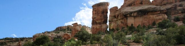
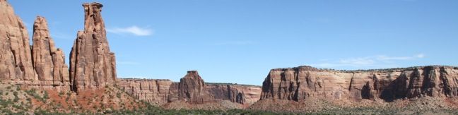
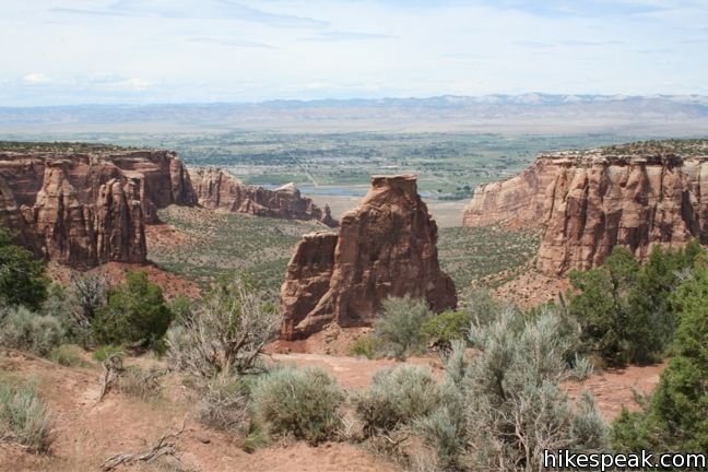
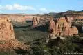
Colorado National Monument protects 32 square miles of wilderness near Grand Junction, Colorado. Monument Canyon is the reason for this area’s preservation, running north to south through the park and housing sandstone formations that have inspired names like Window Rock, Praying Hands, and Kissing Couple. The canyon’s most notable feature is Independence Monument, a 450-foot spire at the heart of Monument Canyon.
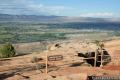
“The Monument” has one campground and numerous hiking trails. Rim Rock Drive is the main road through the park. The scenic drive features several well-positioned viewpoints. Temperatures in the park range from below freezing in the winter to mid-nineties in July. Colorado National Monument has an entrance fee.
Colorado National Monument
The foremost advocate for the protection of this land was John Otto, a man who moved to Grand Junction at the turn of the last century. He fell so in love with the area’s picturesque geology that he dedicated his life to its preservation.
Through his efforts, Colorado National Monument was formed in May of 1911. That same summer, John Otto began a tradition that has remained to this day. On the fourth of July, he climbed to the top of Independence Monument and planted the American Flag. This tradition has been renewed each year for the last hundred years.
In 1911, John Otto became the first park custodian for Colorado National Monument. He held the position for thirty years, working for $1 per month. John Otto constructed and maintained many of the trails that serve the park today.
Colorado National Monument Hiking
This collection of trails in Colorado National Monument lists the hikes from north to south. The table may also be sorted alphabetically or by distance to help you pick your next adventure. Each trail links to its own report complete with photos, maps, directions, and all the other information needed to locate and enjoy these hikes. Below the table is ann interactive map with the location of each trail.
Trail | Description | Distance | Location |
|---|---|---|---|
 100 100 | Window Rock Trail This out and back hike ends at a distinct point on the wall of Monument Canyon where a natural window appears just below the top of the cliff. | 0.35 miles 60 feet | 39.10478, -108.7284 |
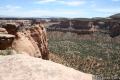
 200 200 | Canyon Rim Trail This out and back hike begins at Saddlehorn Visitor Center and travels along the cliffs edge overlooking Monument Canyon. | 1 mile 100 feet | 39.1006, -108.73423 |
 300 300 | Alcove Nature Trail This out and back hike is less scenic than others in the park but offers information about the plants, animals, and geology of the park. | 1 mile 175 feet | 39.101, -108.735 |
 400 400 | Otto’s Trail This out and back hike visits an overlook near the Pipe Organs with an excellent view of Independence Monument and Monument Canyon. | 0.75 mile 85 feet | 39.09594, -108.73274 |
 500 500 | Monument Canyon Trail This out and back hike (or through trail) travels down into Monument Canyon to visit the tallest freestanding rock formation in the park. | 7 - 12 miles 850 | 39.07777, -108.72802 |
 600 600 | Coke Ovens Trail This out and back hike visits a line of sandstone domes decorating the rim of Monument Canyon. | 1 mile 180 feet | 39.07777, -108.72802 |
 700 700 | Devils Kitchen Trail This out and back hike crosses the bottom of No Thoroughfare canyon to a rock grotto surrounded by tall boulders. | 1.2 miles 225 feet | 39.03177, -108.63075 |
Or explore hikes around Colorado National Monument on the Hike Finder Map