Alcove Nature Trail
in Colorado National Monument
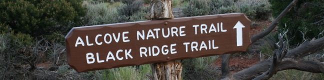
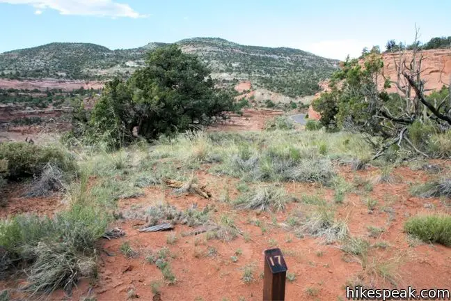
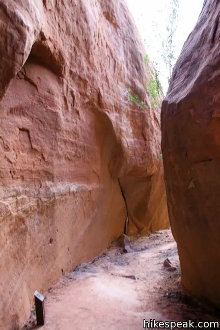
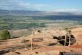
Across the road from the park visitor center (and Canyon Rim Trail) is Alcove Nature Trail. This track is set back from the canyon rim, which limits views of the great landscape. What this trail offers instead is an informative hike with numbered markers that coincide with entries in a guide booklet. The entries describe plants and animals in the park as well as the geological history. This level one-mile round trip trail is less scenic that others in the park but is perfect for educating/boring young children.
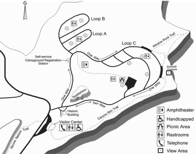
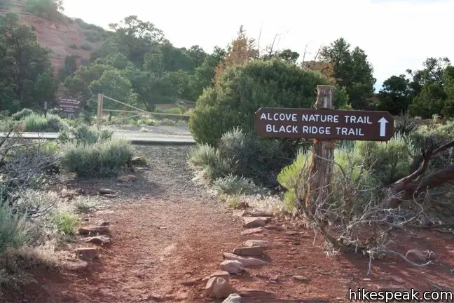
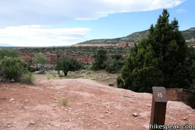
Follow signs from the visitor center parking lot and begin up Alcove Nature Trail. After purchasing a pamphlet from the trail guide dispenser for fifty cents, make a left at the junction. Once you have the guide in hand, start reading! The 31 numbered signs come fast and frequent, making it hard to keep up with the long passages in the guide.
Here is an example of one entry:
11. Like a standing skeleton, this ancient gnarled juniper tree was over 300 years old when it died. All plants and animals eventually yield their places to other plants and animals. It may take more than a century for a dead juniper tree to topple and decay here in the desert, but the stored nutrients will be reused time and time again. Everything in nature is recycled and nothing is wasted.
The trail brochure is produced by the Colorado National Monument Association and is packed with information about the park.
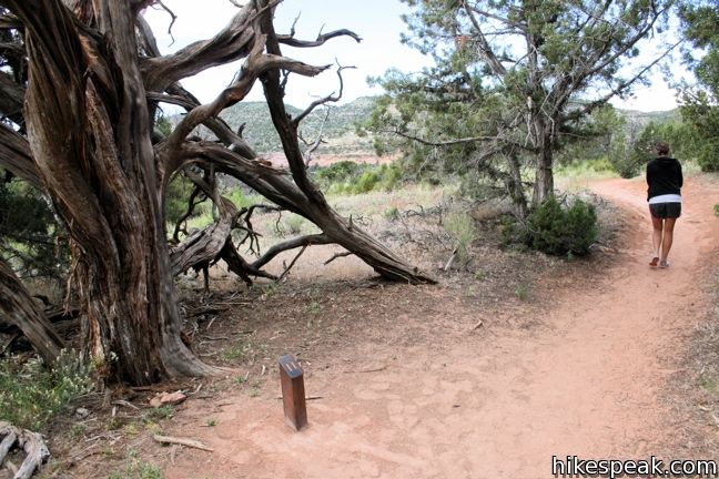
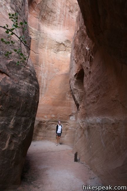
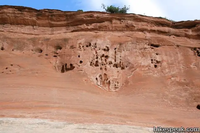
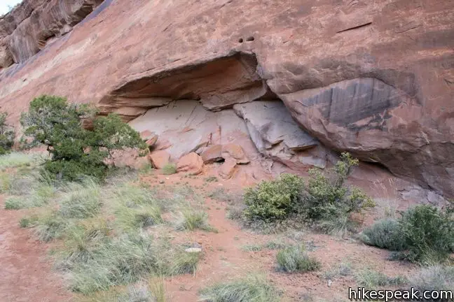
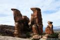
After half a mile of level hiking, the trail dead-ends at the back of a box canyon. This is the most visually interesting part of the hike, and the end of the entries in the pamphlet. From here, turn around and follow the same track back. You can reread your favorite entries as you return to the visitor center. Block out around 45 minutes to hike this one-mile hike with 175 feet of elevation change.
Directions to the Trailhead
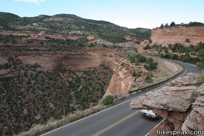
- From Saddlehorn Visitor Center, 4.3 miles south the west entrance of Colorado National Monument on Rim Rock Drive, follow the signs across the road to the start of Alcove Trail.
Trailhead Location
Trailhead address: Rimrock Drive, Colorado National Monument, Grand Junction, CO 81507
Trailhead coordinates: 39.1009, -108.7348 (39° 06′ 03.24″N 108° 44′ 05.3″W)
View Colorado National Monument in a larger map
Or view a regional map of surrounding Colorado trails and campgrounds.

 | Canyon Rim Trail This one-mile round trip hike begins at Saddlehorn Visitor Center and travels along the cliffs edge overlooking Monument Canyon. |
 | Window Rock Trail This 1/3-mile round trip hike ends at a distinct point on the wall of Monument Canyon where a natural window appears just below the top of the cliff. |
 | Otto's Trail This 0.75-mile round trip hike visits an overlook near the Pipe Organs with an excellent view of Independence Monument and Monument Canyon. |
 | More trails in Colorado Explore other destinations in Colorado National Monument. |
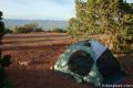 | Saddlehorn Campground This 80-site campground is the only designated camping area in Colorado National Park, conveniently located near Saddlehorn Visitor Center. |
Common Questions about Alcove Nature Trail in Colorado National Monument
- Is the trail open?
- Yes. You should expect to find that Alcove Nature Trail is open. There are no recent reports of trail closures. If you discover that the trail is closed, please help your fellow hikers by reporting a closure.
- Do I need a permit for this hike?
- Yes. National Monument Entrance Fee.
- How much time does this hike take?
- It takes approximately 30 minutes to hike Alcove Nature Trail. Individual hiking times vary. Add extra time for breaks and taking in the views.
- How long is this hike?
- The hike to Alcove Nature Trail is a 1 mile out and back with 175 feet of elevation change.
- Are dogs allowed on this trail?
- No, dogs are likely not allowed on Alcove Nature Trail. The trail is primarily open to hikers.
- Is Alcove Nature Trail good for kids?
- Yes, this hike is likely suitable for children. It is relatively short (1 miles) with manageable elevation gain.
- Where is the trailhead located?
- The trailhead for Alcove Nature Trail is located in Colorado National Monument, Colorado.
Trailhead Address:
Rimrock Drive
Colorado National Monument, Colorado 81507
Trailhead Coordinates:
39.1009, -108.7348 - What are the driving directions to the start of the hike?
To get to the trailhead: From Saddlehorn Visitor Center, 4.3 miles south the west entrance of Colorado National Monument on Rim Rock Drive, follow the signs across the road to the start of Alcove Trail.
View custom Google Maps directions from your current location.
- Are there other trails near Alcove Nature Trail?
- Yes, you can find other nearby hikes using the Hikespeak Hike Finder Map.

[…] and skill level, everyone from novice hikers to rugged climbers will find something to enjoy. The Alcove Trail is a half-mile trail accessible from the Saddlehorn Visitor’s Center and is a great introduction […]