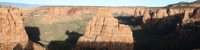
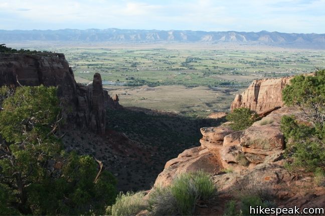
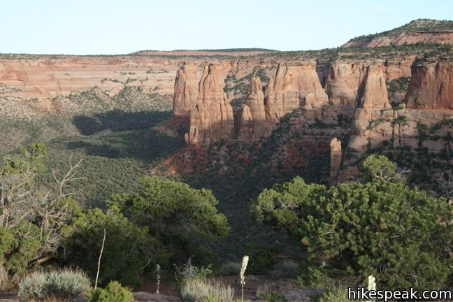
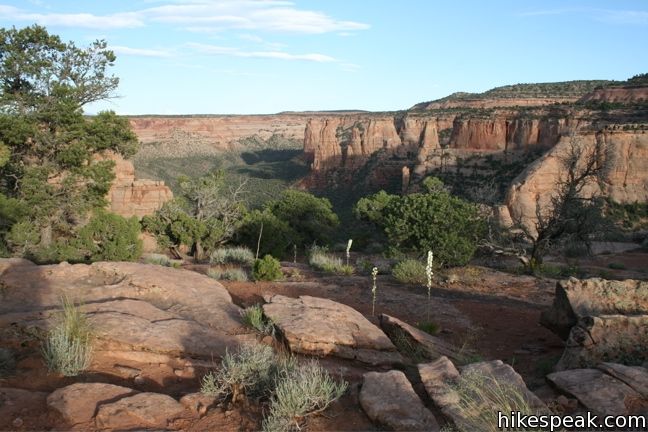
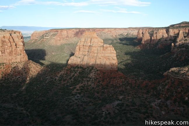
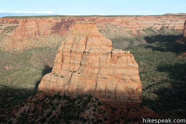
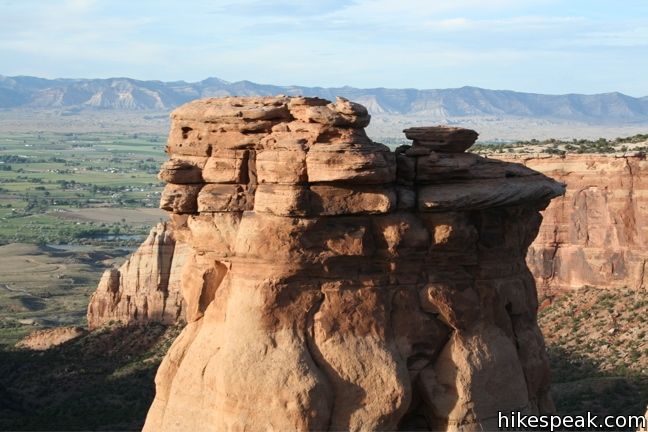
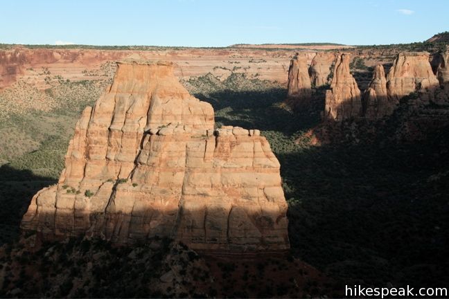
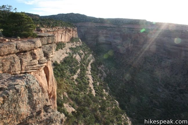
Otto’s Trail is one of the shorter hikes along Rim Rock Drive in Colorado National Monument. Like Window Rock Trail, this 0.75-mile stroll descends gradually to a cliff overlooking Monument Canyon. The view showcases Independence Monument, the tallest freestanding formation in the canyon, and a point of fascination for visitors dating back to the first park supervisor, John Otto, for whom this trail is named.
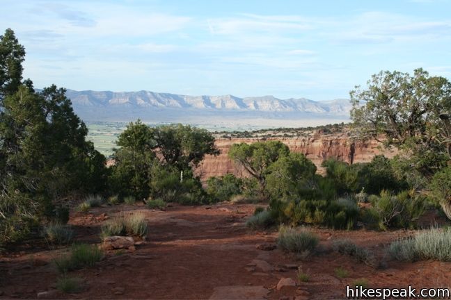
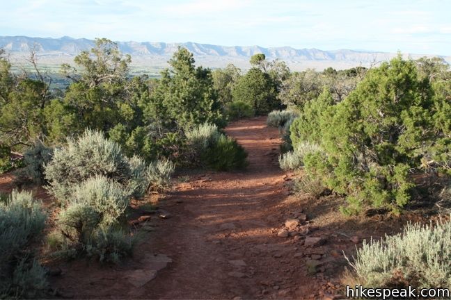
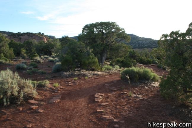
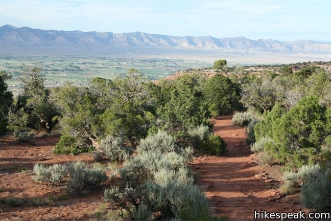
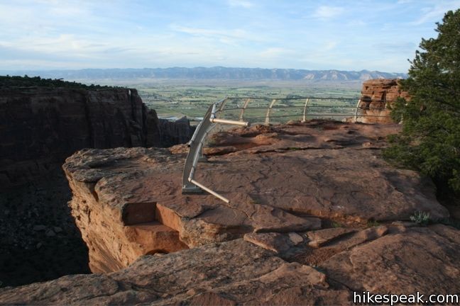
From the turnout on Rim Rock Drive one mile south of Saddlehorn Visitor Center, head east on Otto’s Trail. The wide dirt track heads slightly downhill, sacrificing 85 vertical feet. The best views come at the end of the trail, so in the words of Bob Barker, come on down!
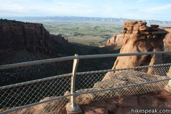
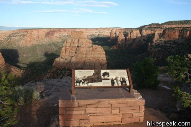
The panoramic vista overlooks Independence Monument, Praying Hands, and Sentinel Spire. The Pipe Organs, a series of cylindrical formation similar to Coke Ovens, are just ahead, adorning the side of the canyon.
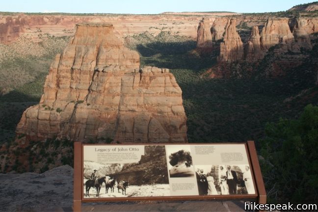
The trail is named for John Otto, the eponymous park supervisor who dedicated his life to preserving the land that became Colorado National Monument.
Panels at the end of the trail depict Otto’s wedding ceremony, which took place in the canyon below Independence Monument. The marriage did not last however, because Otto’s other great love came between them – Colorado National Monument. His wife is quoted as saying.
I tried hard to live his way, but I could not do it. I could not live with a man to whom even a cabin was an encumbrance.
Fortunately, Otto’s stewardship of the park was more enduring. Many of the trails he built during his thirty year stint as inaugural park supervisor remain in use today.
There are no junctions to worry about along the way, so when you are through enjoying the view, simply return the way you came. The meager elevation change makes Otto’s Trail a breeze for hikers of all abilities.
Directions to the Trailhead
- From Saddlehorn Visitor Center, drive south on Rim Rock Drive for one mile and turn left into the turnout for Otto's Trail.
Trailhead Location
Trailhead address: Rimrock Drive, Colorado National Monument, Grand Junction, CO 81507
Trailhead coordinates: 39.09594, -108.73274 (39° 05′ 45.4″N 108° 43′ 57.9″W)
View Colorado National Monument in a larger map
Or view a regional map of surrounding Colorado trails and campgrounds.

 | Monument Canyon Trail This 7-mile hike travels down into Monument Canyon to visit the tallest freestanding rock formation in the park. |
 | Window Rock Trail This 1/3-mile round trip hike ends at a distinct point on the wall of Monument Canyon where a natural window appears just below the top of the cliff. |
 | Canyon Rim Trail This one-mile round trip hike begins at Saddlehorn Visitor Center and travels along the cliffs edge overlooking Monument Canyon. |
 | Alcove Nature Trail This one-mile round trip hike is less scenic than others in the park, but offers information about area plants, animals, and geology. |
 | More trails in Colorado Explore other destinations in Colorado National Monument. |
 | Saddlehorn Campground This 80-site campground is the only designated camping area in Colorado National Park, conveniently located near Saddlehorn Visitor Center. |
Common Questions about Otto’s Trail in Colorado National Monument
- Is the trail open?
- Yes. You should expect to find that Otto's Trail is open. There are no recent reports of trail closures. If you discover that the trail is closed, please help your fellow hikers by reporting a closure.
- Do I need a permit for this hike?
- Yes. National Monument Entrance Fee.
- How much time does this hike take?
- It takes approximately 15 minutes to hike Otto's Trail. Individual hiking times vary. Add extra time for breaks and taking in the views.
- How long is this hike?
- The hike to Otto's Trail is a 0.75 mile out and back with 85 feet of elevation change.
- Are dogs allowed on this trail?
- No, dogs are likely not allowed on Otto's Trail. The trail is primarily open to hikers.
- Is Otto's Trail good for kids?
- Yes, this hike is likely suitable for children. It is relatively short (0.75 miles) with manageable elevation gain.
- Where is the trailhead located?
- The trailhead for Otto's Trail is located in Colorado National Monument, Colorado.
Trailhead Address:
Rimrock Drive
Colorado National Monument, Colorado 81507
Trailhead Coordinates:
39.09594, -108.73274 - What are the driving directions to the start of the hike?
To get to the trailhead: From Saddlehorn Visitor Center, drive south on Rim Rock Drive for one mile and turn left into the turnout for Otto's Trail.
View custom Google Maps directions from your current location.
- Are there other trails near Otto's Trail?
- Yes, you can find other nearby hikes using the Hikespeak Hike Finder Map.

Go the extra miles...
Submit a rating of this hike to go with your comment. Contribute to the average trail rating.