Canyon Rim Trail
in Colorado National Monument
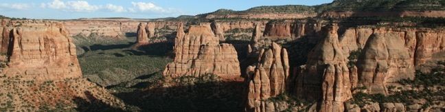
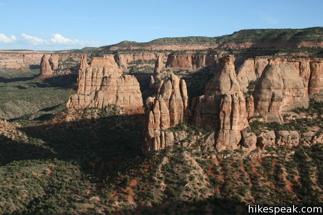
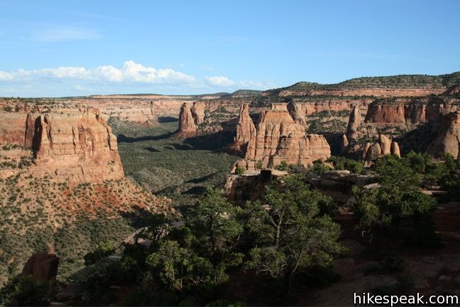
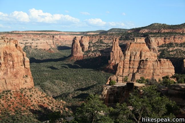
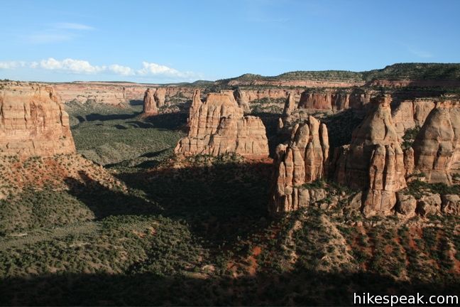
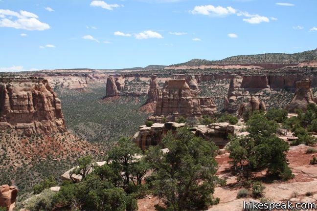
For a view of Praying Hands, Independence Monument, and the other statuesque monoliths in Monument Canyon, take a stroll along Canyon Rim Trail. The track crosses the canyon rim between Saddlehorn Visitor Center and Book Cliff View, and is a great way to begin your visit of Colorado National Monument. The trail is half a mile one-way or one mile round trip. Additionally, the hike can be extended beyond Book Cliff View by hiking another quarter mile to Window Rock. No matter what distance you hike, this is an easy trek with excellent views.
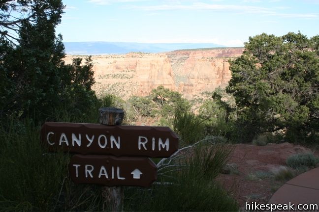
Canyon Rim Trail is fairly straightforward. OK, technically it heads to the left, but it is easy to follow the entire way and there are no junctions. Pick up the trail behind the visitor center, and take it down to the edge of the canyon.
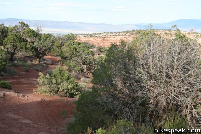
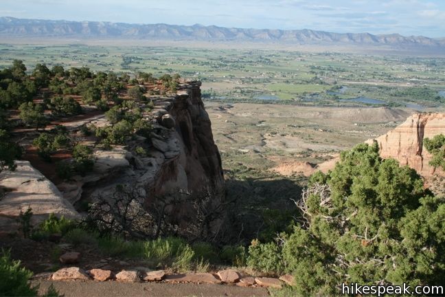
The view across Monument Canyon are excellent from this lofty perch atop Wedding Canyon (Where park founder John Otto was married). Make your way northward along the sandstone cliff through Utah juniper and Pinyon pines that are typical to the area.
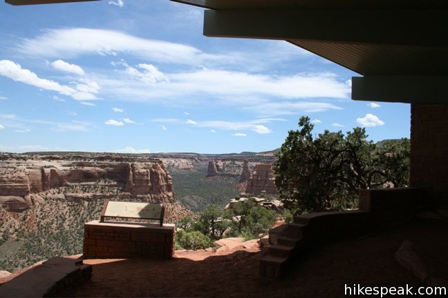
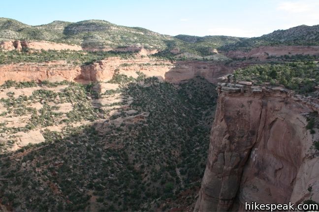
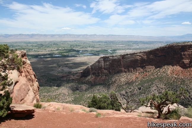
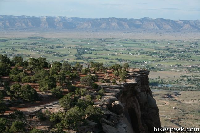
The level trail ascends to Book Cliff View where a shelter offers shaded benches and scenic views. Look out beyond the park over the cities of Fruita and Redlands. Also to the north, spot a pointed cliff with a hole near the top. This is Window Rock.
To continue hiking to Window Rock, follow the connection path beyond the shelter to Window Rock Trail. The trailhead and shelter are also accessible via a paved one way road that circles the bluff behind Saddlehorn Visitor Center and Campground.
The hike from the visitor center to Window Rock and back is 1.5 miles round trip. If you turn around at the Bookcliff Shelter, the hike is just a mile (or half a mile if you are dropped off at one end and picked up at the other). Canyon Rim Trail is an easy hike that makes a great introduction to Colorado National Monument.
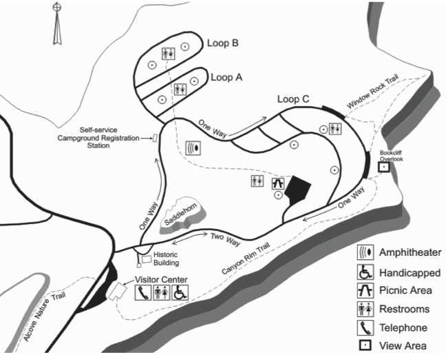
To get to the trailhead: from the west entrance of the park, drive 4.3 miles south on Rim Rock Drive to Saddlehorn Visitor Center. The trail begins behind the visitor center.
Trailhead address: Rimrock Drive, Colorado National Monument, Grand Junction, CO 81507
Trailhead coordinates: 39.1009, -108.7348 (39° 06′ 03.24″N 108° 44′ 05.3″W)
View Colorado National Monument in a larger map
Or view a regional map of surrounding Colorado trails and campgrounds.


 | Alcove Nature Trail This one-mile round trip hike is less scenic than others in the park but offers information about the plants, animals, and geology of the park. |
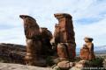
 | Window Rock Trail This 1/3-mile round trip hike ends at a distinct point on the wall of Monument Canyon where a natural window appears just below the top of the cliff. |
 | Otto's Trail This 0.75-mile round trip hike visits an overlook near the Pipe Organs with an excellent view of Independence Monument and Monument Canyon. |
 | More trails in Colorado Explore other destinations in Colorado National Monument. |
 | Saddlehorn Campground This 80-site campground is the only designated camping area in Colorado National Park, conveniently located near Saddlehorn Visitor Center. |
Go the extra miles...
Submit a rating of this hike to go with your comment. Contribute to the average trail rating.