Forest Loop Trail
in Binghamton University Nature Preserve
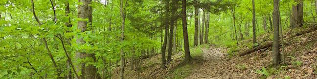
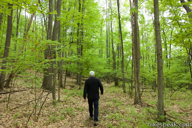
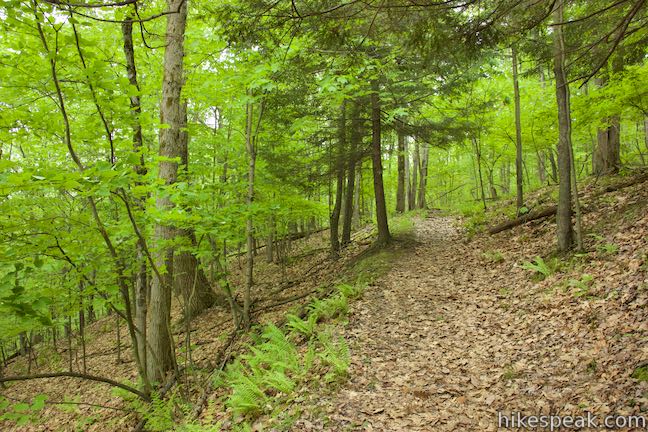
We can learn a lot from nature, which is probably why Binghamton University, a SUNY Institution in Vestal, New York had the foresight to preserve a 182-acre natural space right on its campus. Binghamton University Nature Preserve has hillsides and valleys full of forests and marshes with lots of interconnected trails open to the students and the public. For a quick mile-long escape, get to know the trees along Forest Loop Trail. The single track heads up a hillside covered in pines, oaks, and a mix of other trees. It is a nice loop that can be added to other hikes through lower parts of Binghamton University Nature Preserve or connected to trails heading deeper into the preserve.
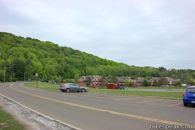
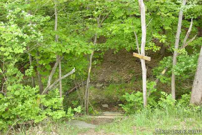
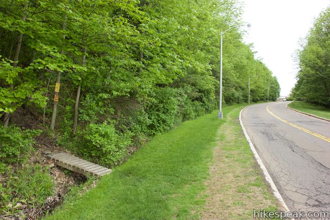
The simplest place to start is from Lot M on the SUNY Binghamton Campus. This lot is close to the Susquehanna Community. Students staying in these dorms can walk right across the street to the start of Forest Loop Trail. Visitors can park in the lot with a pass (details below). Walk west from Lot M along West Access Road, passing a pavilion that overlooks the nature preserve’s wetlands. Redwing Trail is alongside the pavilion, dropping from the road to the marshes below. Another 250 feet up the road, you’ll find the start of Forest Loop Trail on the left. If you were to walk another 250 feet up the road, you’d reach the other end of Forest Loop Trail, where this hike finishes off.
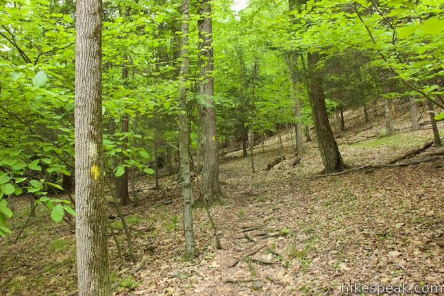
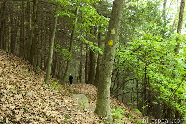
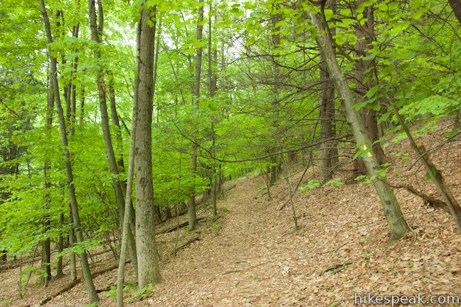
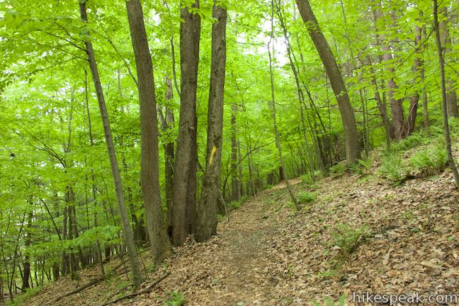
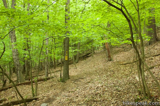
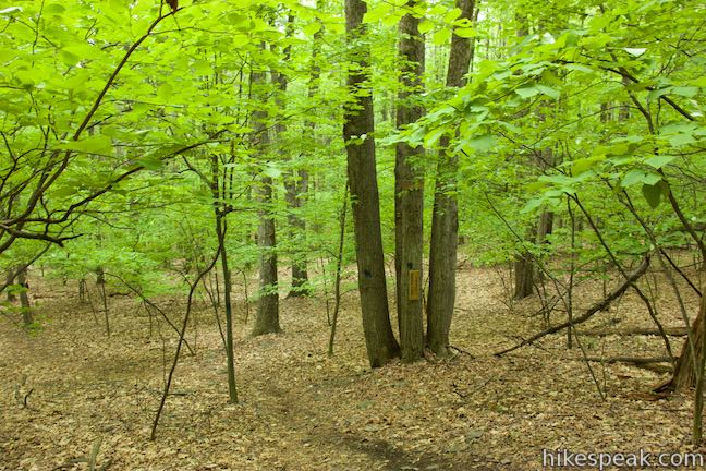
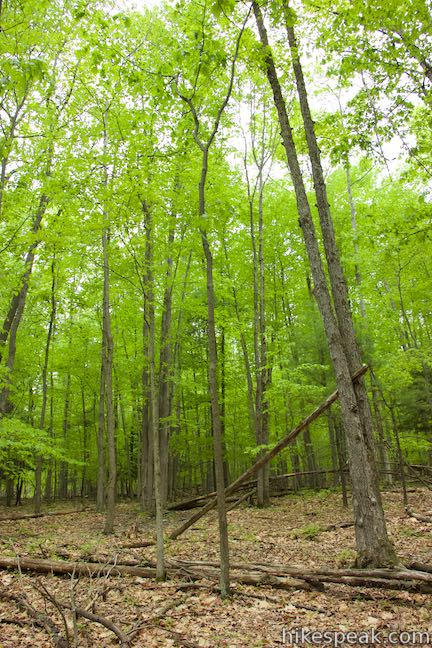
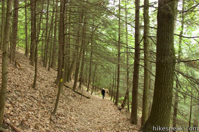
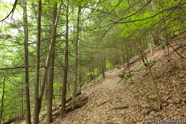
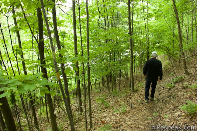
Forest Loop Trail is marked with yellow signs and painted markings on trees. All the trails in Binghamton University Nature Preserve are color coded red, yellow, or blue, with no two trails of the same color intersecting (with one exception not seen on this loop). Even though Forest Loop Trail passes through a few junctions, you can easily stay on track by sticking with the color yellow. Head uphill from the road through a forest dominated by dense pines. After 0.15 miles, cross a steep opening cut across the forest that drops away to the left. This channel through the trees isn’t another trail, but probably represents a belowground conduit. Forest Loop Trail continues across the slope, becoming less steep as it passes through deciduous trees.
Forest Loop Trail actually goes downhill for a bit and comes to a junction with Connector Trail, a quarter mile into the hike. Stay to the right past this trail, which descends to the left and links to Redwing Trail and Oak Trail. Curving to the right, Forest Loop Trail now ascends 100 feet over the next quarter through a few switchbacks. At the top of the climb, Forest Loop Trail passes a junction with Anthill Spur that can be used to connect to Anthill Trail, which heads farther south into the preserve. Continue on Forest Loop Trail, heading north now. In another tenth of a mile, there’s a junction with a second connector to Anthill Trail called Water Tank Spur. Pass this one too by staying to the right on Forest Loop Trail.
Forest Loop Trail turns downhill through quiet woods, inching back toward campus. Meet the start of Anthill Trail just before the end of Forest Loop Trail and stay to the right to proceed down the trail. If all the junctions sound overwhelming, don’t worry. The solution at all four junctions is to stay to the right.
Forest Loop Trail drops out of the trees and returns to West Access Road after 0.9 miles with 240 feet of elevation change. Turn right, walk past the other end of the trail and head back to Lot M. Including the distance to and from the parking lot, this hike is about 1.15 miles round trip with 255 feet of elevation change. Forest Loop Trail can be added to a double-loop hike focused around Pond Trail and Marsh Trail that explores more of the preserve, increasing that hike from 2.6 miles to 3.65 miles.
Bikes are not allowed in Binghamton Univeristy Nature Preserve, but dogs are welcome on leashes. To park in Lot M, visitors can get a parking permit for $5 per day. After 5 p.m., the cost of a permit goes down to $1. During the summer, permits during the day drop to $1 and nothing is charged on weekends from 4 p.m. on Friday until Monday morning (all prices as of 2015).
To get to the trailhead: From Route 17, take exit 70 for Route 201 and Johnson City. Drive south on Route 201 for 1.5 miles, taking the flyover to a bridge over Susquehanna River toward Vestal. Drive to the end of Route 201 and go around a loop in the offramp to head east on Route 434. Make the first right at the trafic light and enter Binghamton University on Bartle Drive. Pass a visitor check-in station and stay to the right through a traffic circle onto West Drive. In 0.4 miles, turn right up Connector Road (toward Susquehanna Community). Drive 0.3 miles and turn right on West Access Road. Park in a row of spots that come immediately on the right. If these parking spaces are full, turn right and drop into a larger section of Lot M.
Lot M address: West Access Road, Binghamton University, Vestal, NY 13850
Lot M coordinates: 42.0848, -75.9728 (42° 05′ 05.28″N 075° 58′ 22.08″W)
You may also view a regional map of surrounding New York trails and campgrounds.

 | Pond Trail and Marsh Trail Loop This 2.6-mile hike in Binghamton University Nature Preserve combines major trails with other easy hiking track to make a double loop that explores ponds, wetlands, and forests at the center of the preserve. |
 | Ravine Trail, Vernal Pool Trail, and Oak Trail Loop This 1.15-mile hike in Binghamton University Nature Preserve links three trails that branch off Pond Trail to form a loop through less-visited parts of the preserve. |
 | Green Lake & Round Lake This easy 3.25-mile loop explores a pair of aquamarine glacial lakes in Green Lakes State Park in Central New York. |
 | Cliff Trail – Long Trail – Mildred Faust Trail Loop This 1.95 miles loop crosses limestone cliffs above a glacial lake and combines several trails to explore Clark Reservation State Park. |
 | Tinker Falls This gradual 0.5-mile hike follows Tinker Falls Creek to the base of a lovely 50-foot waterfall. A trail to the top of Tinker Falls can be added to create a 1.3-mile trek in Labrador Hollow Unique Area. |
 | High Line Trail This elevated stroll of up to 3 miles round trip explores a one-of-a-kind park built on a historic rail line with gardens, artwork, seating, and great views of New York City. |
 | More trails in New York Explore other hikes in the Empire State, including Central New York and the Adirondack Mountains. |
Go the extra miles...
Submit a rating of this hike to go with your comment. Contribute to the average trail rating.