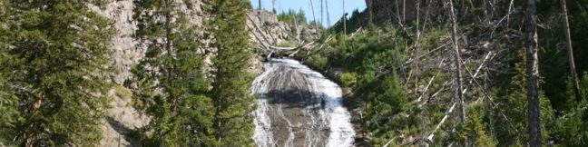
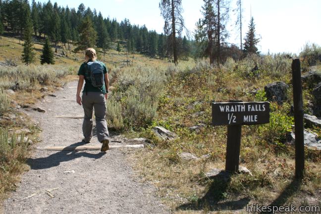
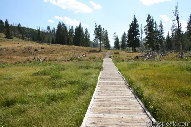
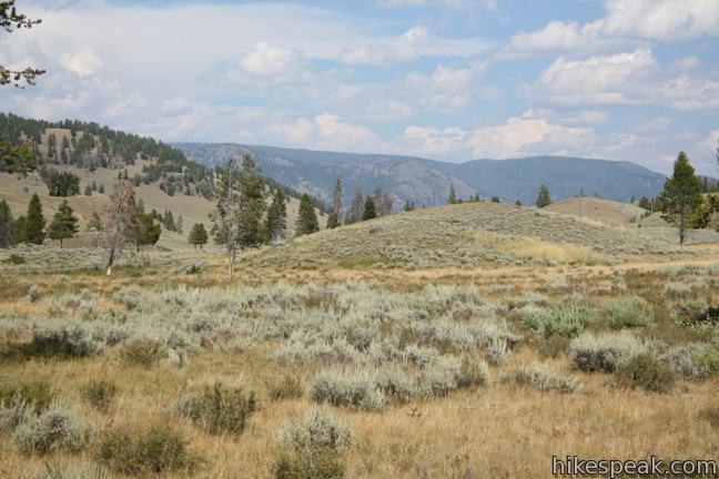
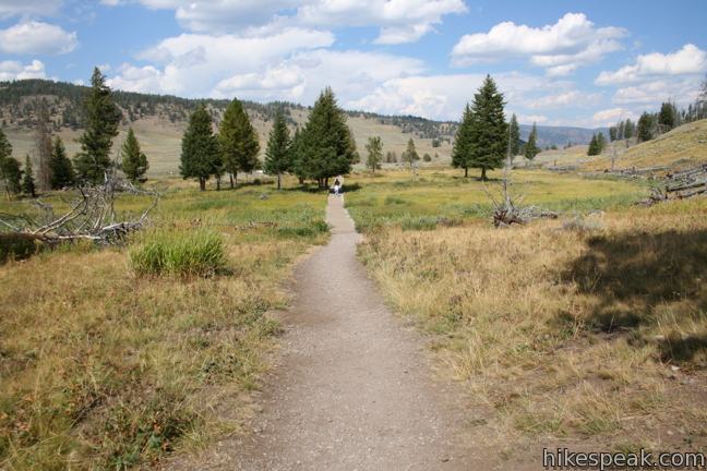
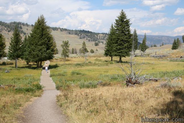
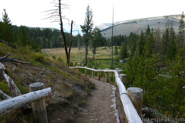
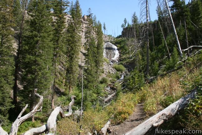
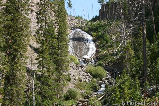
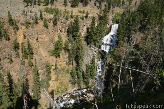
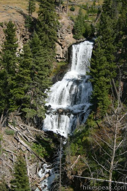
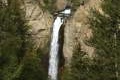
Yellowstone has lots of amazing natural features to explore, but sometimes it’s the unassuming trail that delivers the most surprising enjoyment. Wraith Falls is not one of Yellowstone’s biggest or boldest waterfalls, but the 0.8-mile round trip hike to the 100-foot streaking cascade is as pleasant as it is easy. After making a beeline across a grassy meadow to the creek below Wraith Falls, the trail turns uphill, climbing fifty feet (out of a total of 100 feet of elevation gain) in the last tenth of a mile to a viewpoint of Wraith Falls.
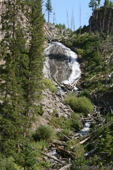
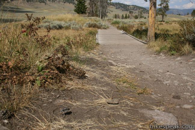
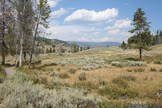
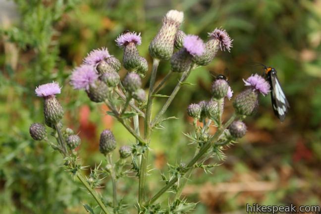
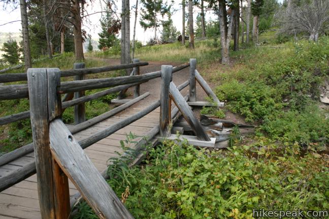
In late summer, raspberries bloom along the dirt trail and might be the only thing to slow you down as you walk the first 0.3 miles of the trail to a wooden footbridge. Sparse pines allow long views over the valley. Cross Lupine Creek and climb a couple short switchbacks to a clear view of Wraith Falls. The water tumbles down a slick rock slope, cutting a channel through a forest of Douglas firs.
The white bulb-shaped gusher resembled a ghost to early surveyors who named it Wraith Falls. If you get spooked, just return the way you came. Yellowstone National Park has an entrance fee, but no permit is required to hike Wraith Falls Trail. If you are in the mood to see another waterfall, head a mile down the road to an overlook for Undine Falls.
Directions to the Trailhead
- From Mammoth Hot Springs in the northwest corner of Yellowstone National Park, drive 5 miles southeast on Grand Loop Road.
- The turnout for Wraith Falls is on the south side of the road just under a mile past the turnout for Undine Falls (on the north side of the road).
Trailhead Location
Trailhead address: Grand Loop Road, Yellowstone National Park, WY 82190
Trailhead coordinates: 44.942445, -110.623598 (44° 56′ 32.80″N 110° 37′ 24.95″W)
You may also view a regional map of surrounding Wyoming trails and campgrounds.
 | Mammoth Hot Springs This series of boardwalks explores a park highlight, a collection of colorful hot springs terraces. |
 | Boiling River This 1.25-mile round trip hike follows a riverbank to a natural hot tub where a stream of water cooked by nearby hydrothermal features mixes with the river. |
 | Calcite Springs Overlook This 0.25-mile loop overlooks a dramatic section of the Yellowstone River lined by bleached cliffs and steam venting hydrothermal springs. |
 | Tower Fall This 1-mile hike starts with a head-on view of a 132-foot waterfall. Unfortunately, the final leg of the trail to the base of Tower Fall is closed due to damage from rock and mud slides. |
 | Artists' Paintpots This 1.1-mile hike circles a hillside hydrothermal area, passing bursting mudpots, bubbling hot springs, and mesmerizing milky blue pools. |
 | Monument Geyser Basin This 2.8-mile hike reaches a rarely visited hydrothermal area that is boardwalk-free and fun to explore. |
 | More trails in Yellowstone Explore other hikes to waterfalls and hydrothermal hot spots in Yellowstone National Park. |
 | Yellowstone National Park Campgrounds Twelve developed campgrounds with over 2,000 total sites are spread throughout Yellowstone. |
Common Questions about Wraith Falls in Yellowstone National Park
- Is the trail open?
- Yes. You should expect to find that Wraith Falls Trail is open. There are no recent reports of trail closures. If you discover that the trail is closed, please help your fellow hikers by reporting a closure.
- Do I need a permit for this hike?
- Yes. National Park Entrance Fee.
- How much time does this hike take?
- It takes approximately 15 minutes to hike Wraith Falls Trail. Individual hiking times vary. Add extra time for breaks and taking in the views.
- How long is this hike?
- The hike to Wraith Falls Trail is a 0.8 mile out and back with 100 feet of elevation change.
- Are dogs allowed on this trail?
- No, dogs are likely not allowed on Wraith Falls Trail. The trail is primarily open to hikers.
- Is Wraith Falls Trail good for kids?
- Yes, this hike is likely suitable for children. It is relatively short (0.8 miles) with manageable elevation gain.
- Will I see a waterfall on this hike?
- Yes, Wraith Falls Trail features a waterfall.
- Where is the trailhead located?
- The trailhead for Wraith Falls Trail is located in Yellowstone National Park, Wyoming.
Trailhead Address:
Grand Loop Road
Yellowstone National Park, Wyoming 82190
Trailhead Coordinates:
44.942445, -110.623598 - What are the driving directions to the start of the hike?
To get to the trailhead: From Mammoth Hot Springs in the northwest corner of Yellowstone National Park, drive 5 miles southeast on Grand Loop Road. The turnout for Wraith Falls is on the south side of the road just under a mile past the turnout for Undine Falls (on the north side of the road).
View custom Google Maps directions from your current location.
- Are there other trails near Wraith Falls Trail?
- Yes, you can find other nearby hikes using the Hikespeak Hike Finder Map.

[…] Next stop was a short hike to see Wraith Falls. Interesting to check out the photo in the link – we’re lucky to be here after a record-breaking snowpack winter with the snow melt that comes with it […]
[…] We stopped at Undine Falls & walked the short trail to Wraith Falls (which was a lovely walk full of wildflowers) […]