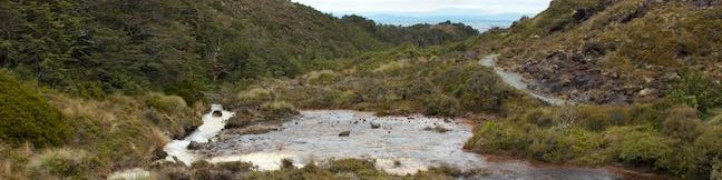
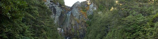
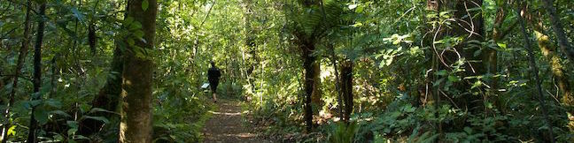
Aoraki Mount Cook National Park
Aoraki Mount Cook National Park is one of New Zealand's top National Parks, covering over 700 square kilometers in the heart of the Southern Alps. Located in the Canterbury Region on the South Island, the park is full of 3,000-meter tall peaks and dramatic glaciers. The park is named after its highest summit, which measures 3,724 meters tall and is the tallest mountain in New Zealand. ... Read more.