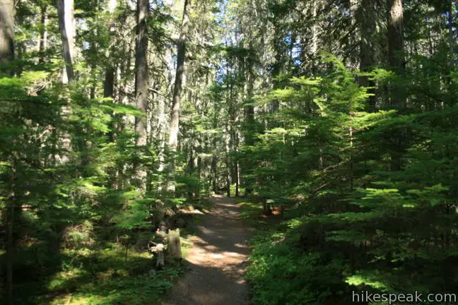
Johns Lake Loop starts as a pleasant trail through a mossy forest leading to a small lake, but this Glacier National Park hike has a lot more to offer. The trail follows a cascading creek past McDonald Falls, getting an eyeful of the water that feeds the expansive Lake McDonald. This varied 2-mile loop has just 225 feet of elevation gain, making it one of the easiest hikes on the west side of Glacier National Park.
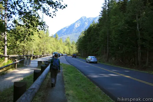
Begin from the Johns Lake Trailhead along Going-to-the-Sun Road. Hike south toward Johns Lake, passing through a couple early junctions (left then right) as you join trails to Johns Lake from nearby Lake McDonald Lodge. Each turn is well marked.
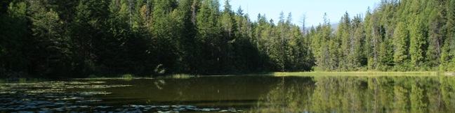
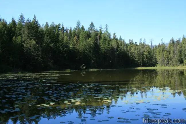
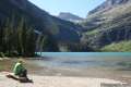
After less than half a mile you will see Johns Lake through the trees to the left and come to a junction with Avalanche Trail. Turn left to continue the loop, but before you proceed, take a few steps off trail to reach the lakefront.
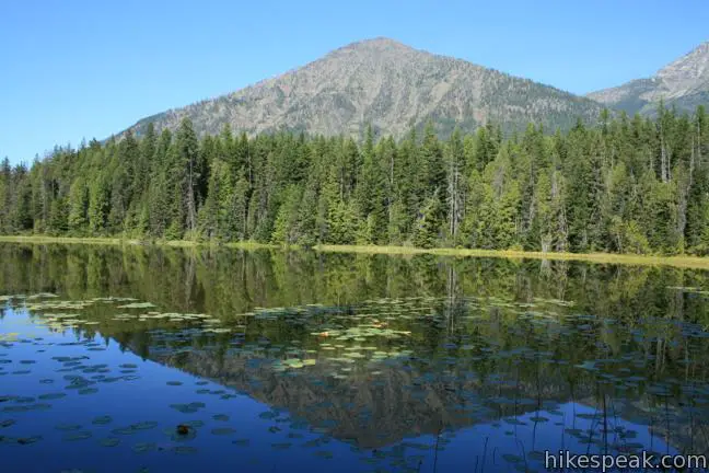
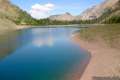
Johns Lake is a large pond covered in lily pads. The water mirrors two triangle-shaped peaks to the north, Mount Vaught and Stanton Mountain, which rise above the pine forest.
Beyond the lake, Avalanche Trail drops 0.3 miles through more enchanting forest to Going-to-the-Sun Road. Cross the road and turn right. Make an immediate U-turn to the left down a paved ramp to McDonald Creek. Cross the bridge over the gushing flow and turn left on the opposite side.
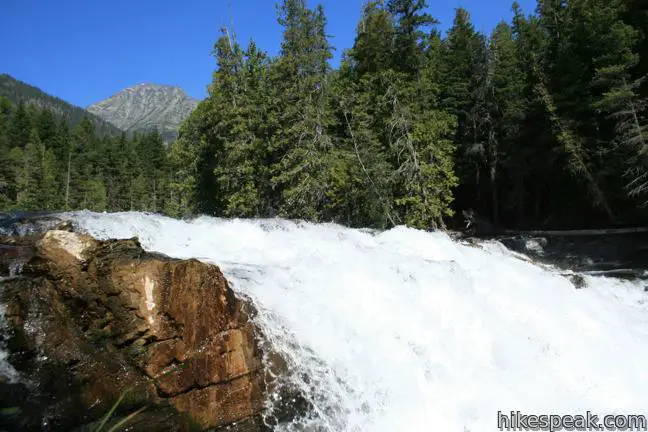
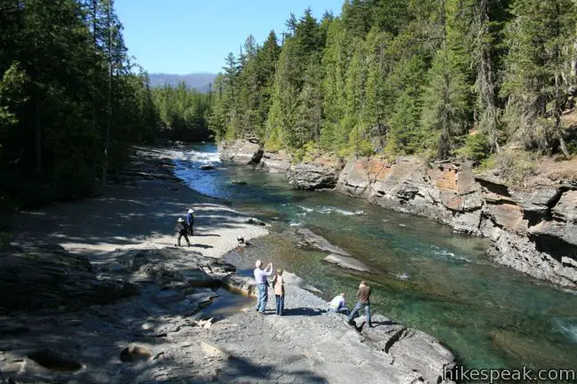
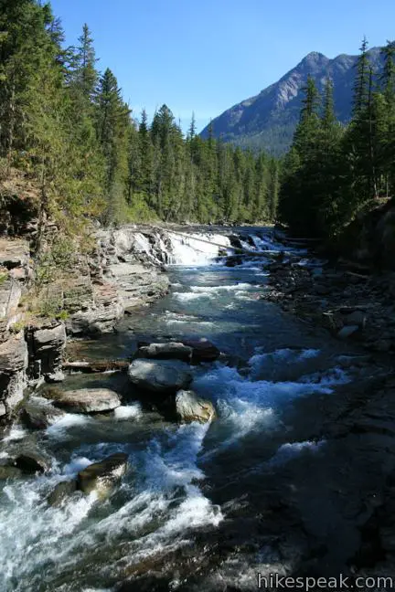
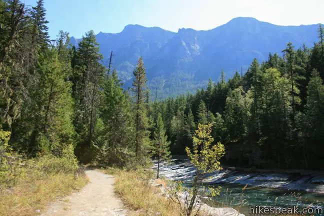
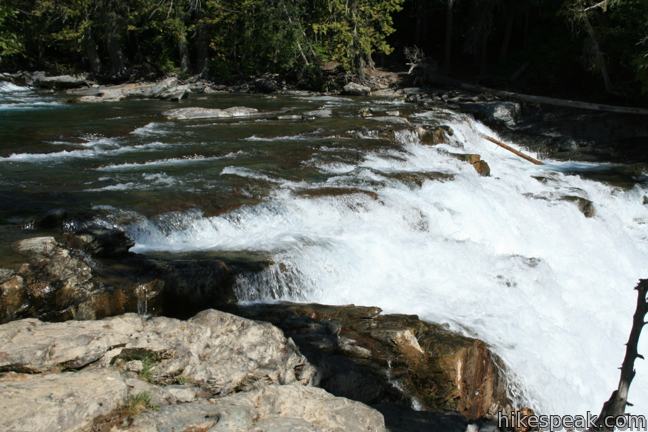
After a quarter mile trekking downstream on the bluff above the creek, the trail splits next to a wooden bench. Take the trail to the left to remain along the bank of the creek. After another quarter mile, you will arrive at the brink of McDonald Falls. This roaring cascade drops about fifteen feet along the wide creek.
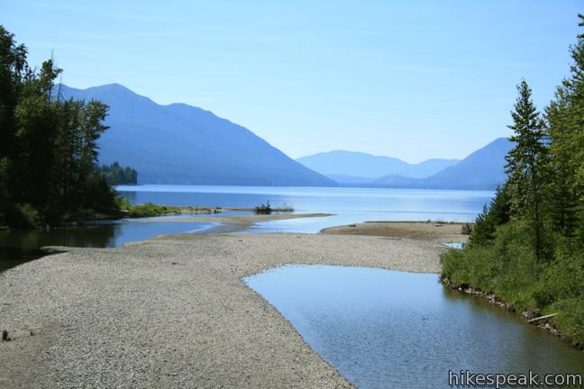
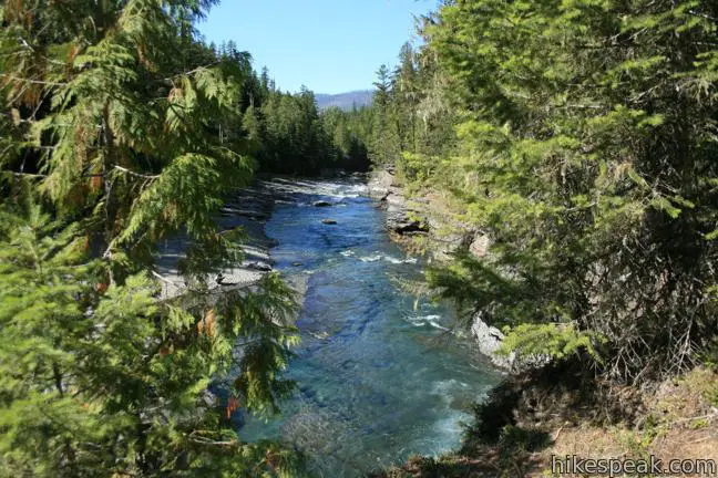
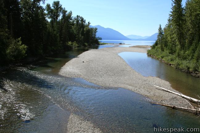
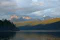
Below the waterfall, continue 0.3 miles through a forest of tall hemlocks. When you reach North Shore Road, turn left and hike back to Going-to-the-Sun Road. Cross a bridge over McDonald Creek after a tenth of a mile, savoring a view out the mouth of the creek spilling into the ten-mile long Lake McDonald.
Switch to the right side of the road and follow the path for 0.15 miles to Going-to-the-Sun Road. Turn right and hike another 0.15 miles back to the trailhead, completing the loop. No Permit is required to hike Johns Lake Loop butGlacier National Park has an entrance fee.
Directions to the Trailhead
- From the intersection of Route 2 in West Glacier, drive 12.2 miles north on Going-to-the-Sun Road to reach the trailhead (passing the park entrance and Lake McDonald).
- A small parking area for the trailhead is located on the east side of the road.
- An obvious sign reads, Johns Lake.
- If you pass North Shore Road, you just missed it.
Trailhead Location
Trailhead address: Going-To-The-Sun Road, Glacier National Park, West Glacier, MT 59936
Trailhead coordinates: 48.63334, -113.862285 (48° 38′ 00″N 113° 51′ 44.22″W)
View Glacier National Park in a larger map.


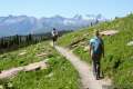 | Highline Trail This stunning trail presents hikes of several lengths from 7 miles to 15 miles, like an amazing 13.5-mile through-hike that includes a spur trail to an exceptional Glacier Overlook. |
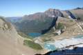 | Garden Wall Trail to Glacier Overlook This extension off Highline Trail climbs a thousand feet in a mile to extraordinary views over Grinnell Glacier and a trio of subalpine lakes. |
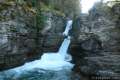 | Saint Mary Falls and Virginia Falls This 3-mile hike visits two waterfalls in the forest above Saint Mary Lake on the east side of Glacier National Park. |
 | Grinnell Lake Trail This long but level 7.5-mile hike passes a triplet of beautiful turquoise glacier-fed lakes in the Many Glacier region of the park. |
 | Crypt Lake Trail in Waterton Lakes National Park, Canada This adventurous 10.8-mile hike is considered one of Canada's best, passing waterfalls, a natural tunnel, and a cable traverse to reach a pristine lake on the US border. |
 | Glacier National Park Campgrounds Thirteen campgrounds with over 1,000 total sites are spread throughout the park in picturesque locations. |
Common Questions about Johns Lake Loop in Glacier National Park
- Is the trail open?
- Yes. You should expect to find that Johns Lake Loop Trail is open. There are no recent reports of trail closures. If you discover that the trail is closed, please help your fellow hikers by reporting a closure.
- Do I need a permit for this hike?
- Yes. National Park Entrance Fee.
- How much time does this hike take?
- It takes approximately 1 hour to hike Johns Lake Loop Trail. Individual hiking times vary. Add extra time for breaks and taking in the views.
- How long is this hike?
- The hike to Johns Lake Loop Trail is a 2 mile loop with 225 feet of elevation change.
- Are dogs allowed on this trail?
- No, dogs are likely not allowed on Johns Lake Loop Trail. The trail is primarily open to hikers.
- Is Johns Lake Loop Trail good for kids?
- Yes, this hike is likely suitable for children. It is relatively short (2 miles) with manageable elevation gain.
- Is there a lake on this hike?
- Yes, Johns Lake Loop Trail visits a lake.
- Where is the trailhead located?
- The trailhead for Johns Lake Loop Trail is located in Glacier National Park, Montana.
Trailhead Address:
Going-To-The-Sun Road
Glacier National Park, Montana 59936
Trailhead Coordinates:
48.63334, -113.862285 - What are the driving directions to the start of the hike?
To get to the trailhead: From the intersection of Route 2 in West Glacier, drive 12.2 miles north on Going-to-the-Sun Road to reach the trailhead (passing the park entrance and Lake McDonald). A small parking area for the trailhead is located on the east side of the road. An obvious sign reads, Johns Lake. If you pass North Shore Road, you just missed it.
View custom Google Maps directions from your current location.
- Are there other trails near Johns Lake Loop Trail?
- Yes, you can find other nearby hikes using the Hikespeak Hike Finder Map.

Go the extra miles...
Submit a rating of this hike to go with your comment. Contribute to the average trail rating.