Mount Rainier National Park has three main campgrounds with over 450 campsites. The campgrounds are located in the southwest, southeast, and northeast corners of the park near the most popular hiking areas. Backcountry camping is also an option, by permit only. Visit the official Mount Rainier National Park camping page for more information.
Campgrounds in Mount Rainier National Park
Courgar Rock Campground | 173 sites (plus 5 group) | open late May to late September | reservations accepted | $20 per night | potable water, picnic tables, fire grates, dump station, and flush toilets | elevation 3,180 feet
Mowich Lake Campground | 10 primitive walk-in tent sites | open early July to early October | first-come first-serve | free | no potable water, no fires, vault toilets | elevation 4,929 feet
Ohanapecosh Campground | 188 sites (plus 2 group) | open late May to late September | reservations accepted | $20 per night | potable water, picnic tables, fire grates, dump station, and flush toilets | elevation 1,900 feet
White River Campground | 112 sites | open late June to late September | reservations accepted | $20 per night | potable water, picnic tables, fire grates, and flush toilets | elevation 4,400 feet

What do I do if the national park campgrounds are full?
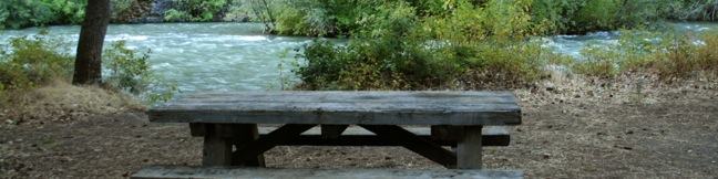
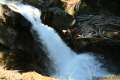
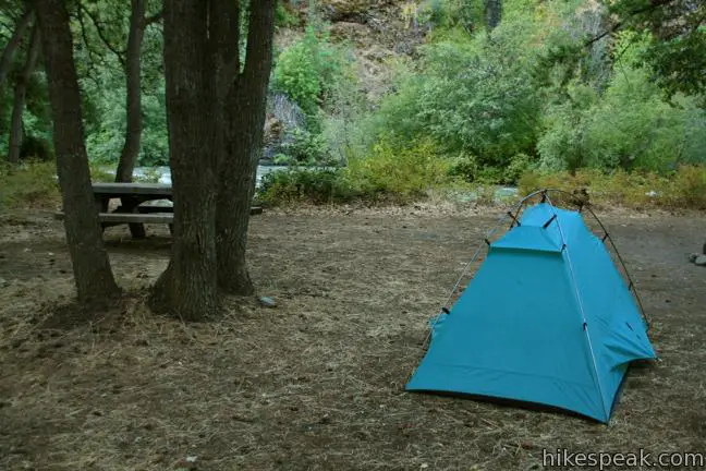
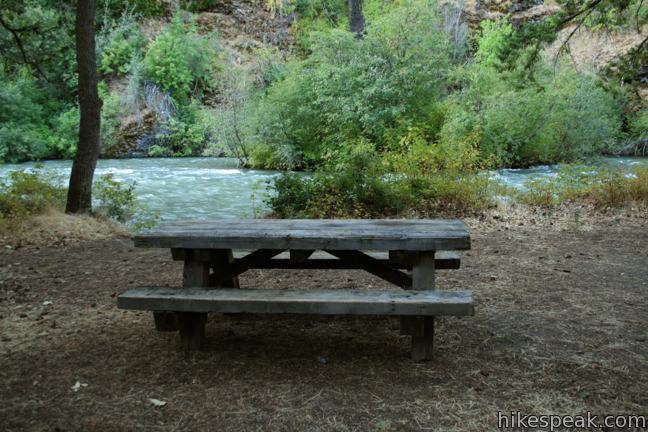
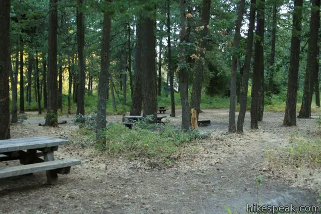
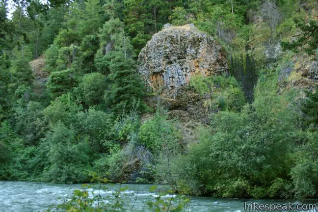
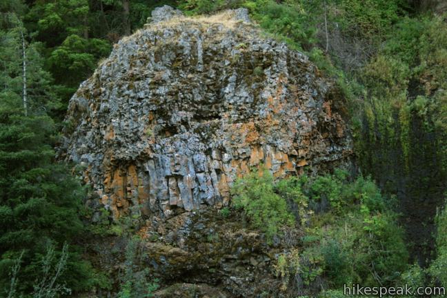
Mount Rainier National Park is surrounded by the Wenatchee National Forest. Numerous smaller campgrounds are located throughout the national forest like Windy Point (photos below), a 15-site riverfront campground east of Mount Rainier. Many of the national forest campgrounds accept reservations.
Use the map below to get directions:
Hikes in Mount Rainier National Park
Trail | Description | Distance | Location |
|---|---|---|---|
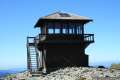 550 550 | Mount Fremont Lookout Trail This out and back hike visits a fire lookout tower near the summit of Mount Fremont with incredible views over Mount Rainier and the surrounding mountains. | 6 miles 800 feet | 46.914598, -121.642045 |
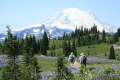 600 600 | Naches Peak Loop Trail This colorful loop crosses fields of summer wildflowers, passes subalpine lakes, and offers great views of Mount Rainier. | 3.75 miles 575 feet | 46.869727, -121.520033 |
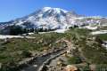 650 650 | Skyline Trail This tremendously scenic loop on the slopes of Mount Rainier is considered the park's must-do hike. | 5.5 miles 1,625 feet | 46.786691, -121.734536 |
 700 700 | Silver Falls Loop Trail This loop travels through an old-growth forest to a waterfall on Ohanapecosh River in the southeast corner of the park. | 3 miles 300 feet | 46.7362, -121.5664 |
Hi we are coming to mount Rainier on sat 31st august with a camper van we are hiring in seattle could you suggest a campsite for our first 2 nights in the camper
I can’t believe it’s so difficult to find the cost of regular camp sites, NOT HOTEL ROOMS!!!!! I dread to think how difficult it will be to get directions to said camp sites and to actually reserve a site.
Costs and sites are listed for each campground above. Most of the campgrounds do accept reservations. If you click on any campground on the map, you can get directions from your location.