Whalen Island Loop Trail
in Clay Myers State Natural Area at Whalen Island
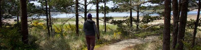
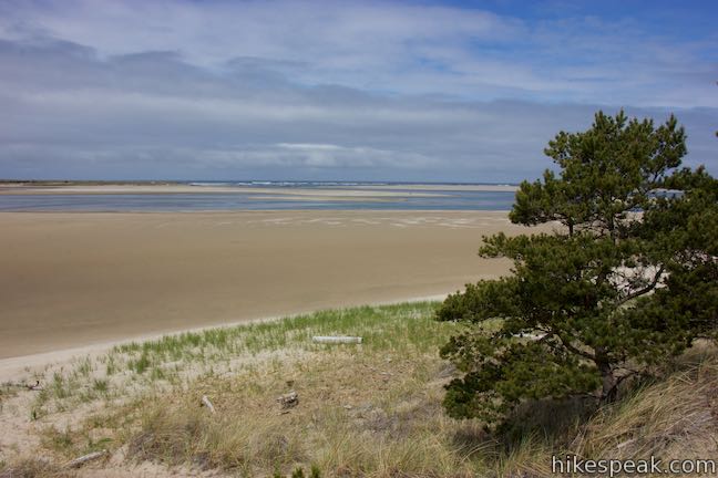
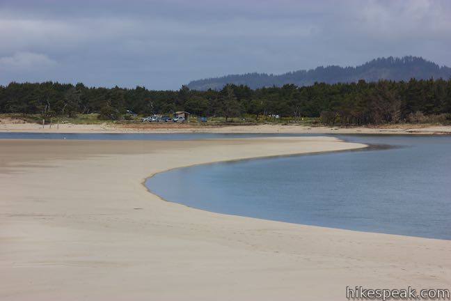
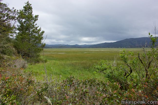
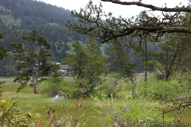
What is Whalen Island? It’s not quite an island. It’s not quite on Oregon’s ocean shore. What it is… is a place that is unique, soothing, and beautiful. Wrapped be beaches and shaded by shore pines, Whalen Island sits at the heart of Sand Lake Estuary. Whalen Island – which only becomes an island during seasonal high tides – is just inland from the ocean (close enough to see the waves) on the Tillamook Coast between Cape Lookout and Pacific City. The island is bordered by shallow blue water, mud flats, and marshes – and you can see it all from a 1.5-mile hike around the island’s permitted.
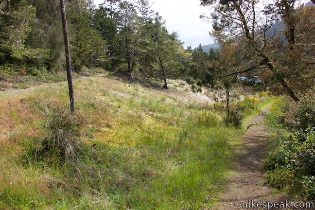
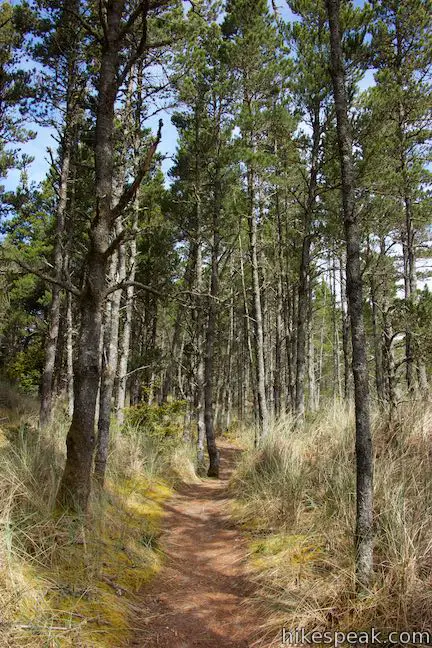
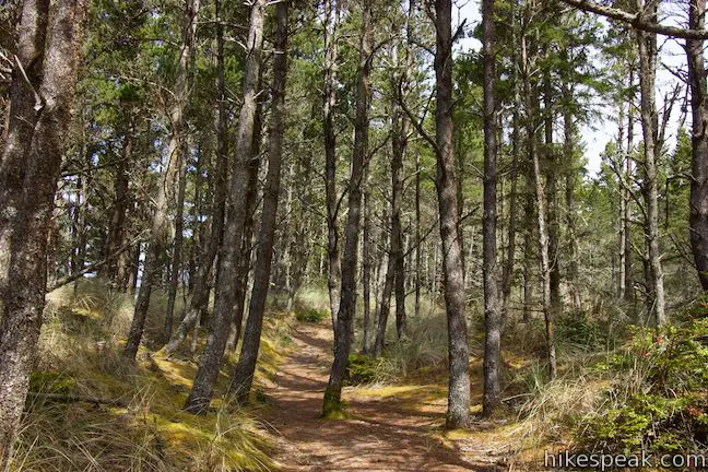
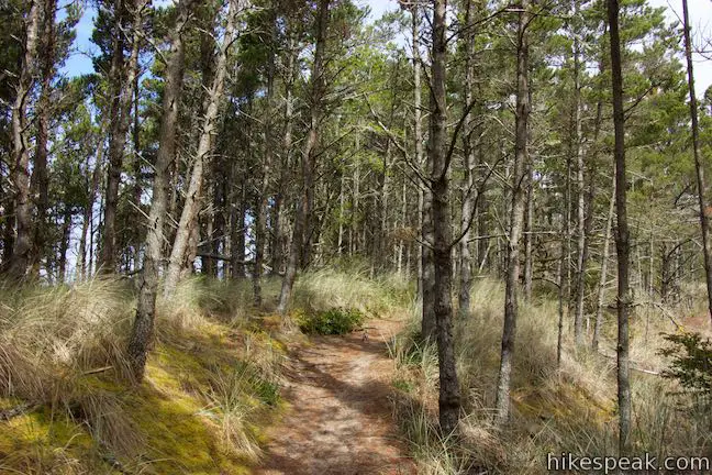
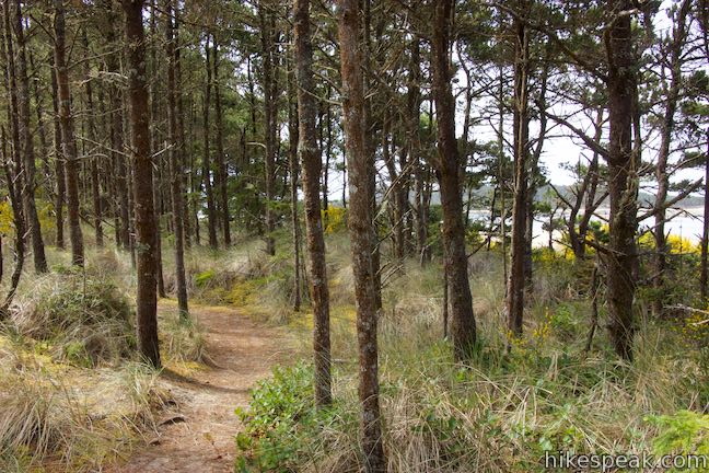
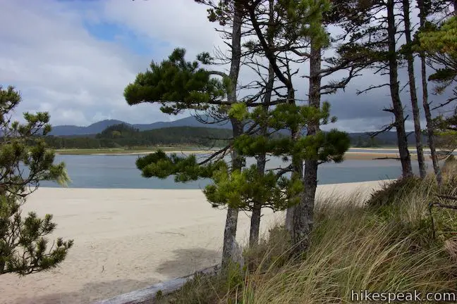
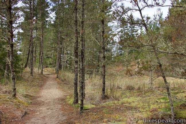
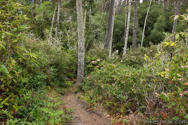
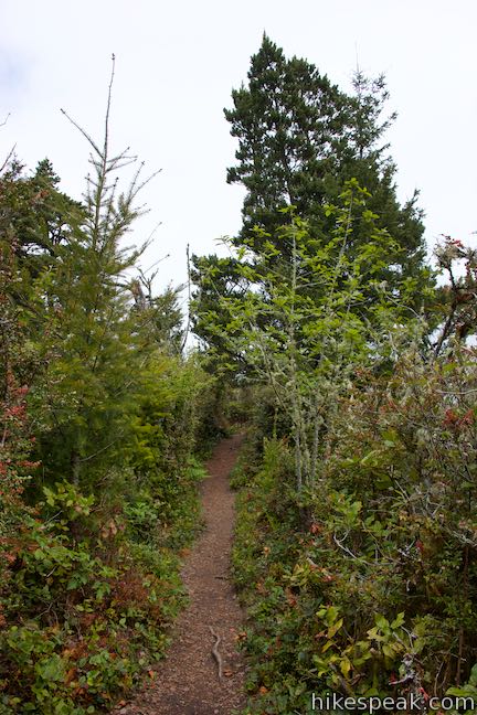
Whalen Island Loop Trail is part of Clay Myers State Natural Area at Whalen Island. The single-track trail is soft and sandy, covering 1.5 miles with 40 feet of elevation change. The terrain is a mix of level and lumpy (there’s not too much to climb on Whalen Island). The west side of the loop follows the island’s forest edge, passing several viewpoints that peer out over beaches and the surrounding undeveloped coastland. The east side of the loop is more forested, with views of the marshes on the opposite side of Whalen Island.
Looking for something shorter? If you prefer to spend more time by the sand, you could convert this hike into a 1.1-mile loop by walking out on the west side of Whalen Island Loop Trail and then walking back on a path across the adjacent beach, skipping the east side of Whalen Island Loop Trail.

Finding the trailhead
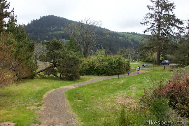
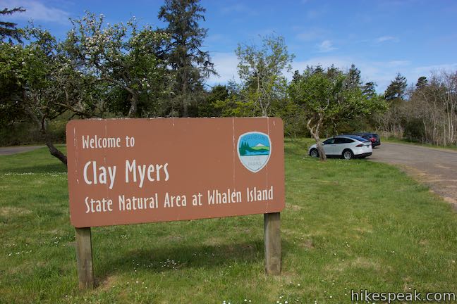
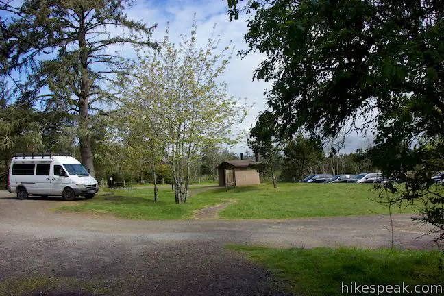
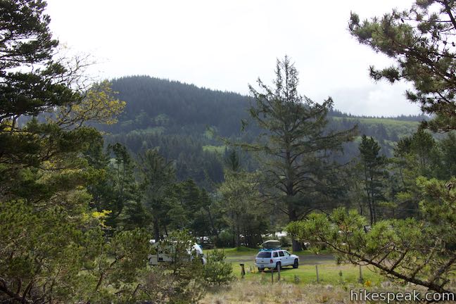
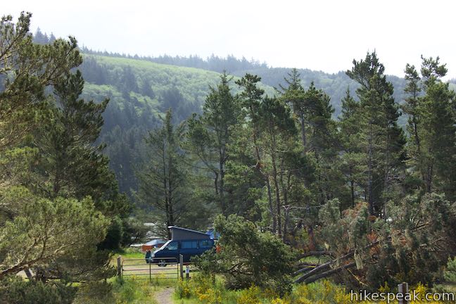
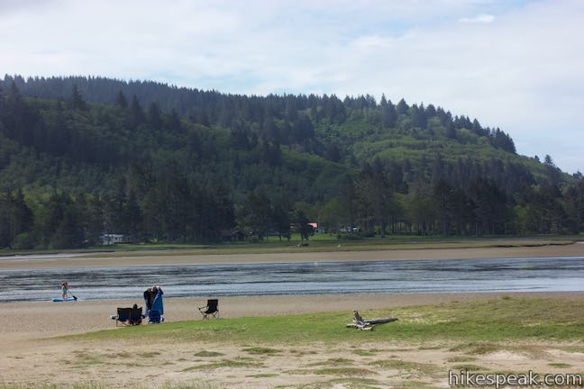
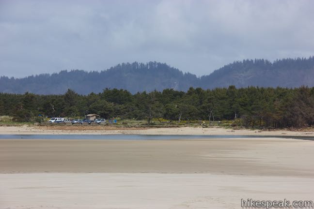
When you drive over the bridge onto Whalen Island, the first thing you will pass is a day use parking area on the left that is operated by Tillamook County (changing a $10 day use fee as of 2021). The next thing on the left is Whalen Island County Campground. If you’re only coming to Whalen Island for the day, continue a bit farther to the end of Whalen Island Road, where the road enters Clay Myers State Natural Area. The road makes a loop around a dozen parking spaces, as well as a bathroom. Clay Myers State Natural Area preserves most of Whalen Island, while the county park in one corner boasts nice basic campsites, picnic tables, and a boat launch for kayaks (the estuary is too shallow for motorboats).
Whalen Island Loop Trail connects to the parking area on two sides (it is a loop after all). The directions here follow the loop in a clockwise direction, going out up the west side and back on the east side. This puts you in good positions to gaze out at the coast from the trail, but you could certainly explore the loop in the opposite direction if you wish to see marsh views before ocean views.
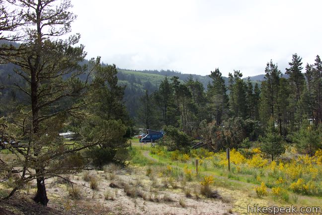
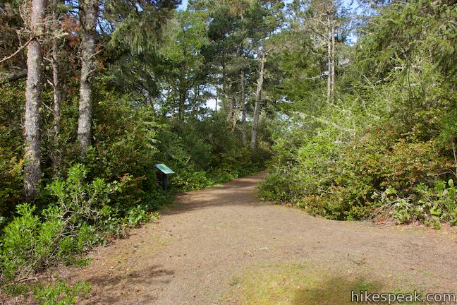
Set out from the southwest side of the parking area, opposite from the bathroom. Follow the trail west behind the campground. After a short distance, the trees open up for views over the campground (if you don’t see the campground, you’re on the other side of the loop).
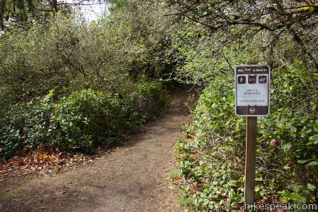
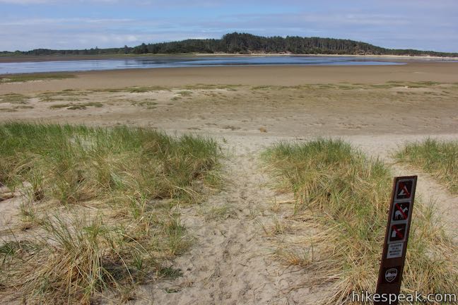
Come to a 4-way junction after a tenth of a mile. Whalen Island Loop Trail makes a slight right turn to approach a trail map. A sharp left turn would put you down a short path to the back of the campground. Ignore this path unless you are staying at the campground. Slightly to the left and across from the path to the campground is another trail that is worth exploring. The short trail travels 75 yards through the trees to the beach at the southwest end of Whalen Island. This broad open area boasts beach grasses and lots of sand to play in. If you walk out toward the water, hoping to take a swim – think again. When you approach the tidal flats, the beach turns into a sandy-mud sort of quicksand that makes it hard to proceed (plus the estuary is really shallow for swimming anyway).
Whalen Island Beach Route
A path traveling north up the beach offers a sandy stroll along the edge of Whalen Island. This is not part of Whalen Island Loop Trail, but you could walk half a mile up the beach, until the sand is pinched by the water, and then pick up Whalen Island Loop Trail and walk 0.55 miles back to the trailhead down the west side of the trail (or take a longer walk on the north and east sides of the island).
Several viewpoints along the west side of Whalen Island Loop Trail have paths connecting to the beach, so the 1.1-mile beach route loop could also be done in shorter distances. For another variation, sections of the beach path could be swapped in to replace portions of Whalen Island Loop Trail. There are plenty of places to explore, especially if you stay overnight at Whalen Island County Campground and take multiple hiking trips.

Whalen Island Loop Trail
To follow through with the primary hiking option in Clay Myers State Natural Area, make your way back to the junction by the map of the island. The map displays several scenic viewpoints along the trail. You will come to the first one almost immediately.
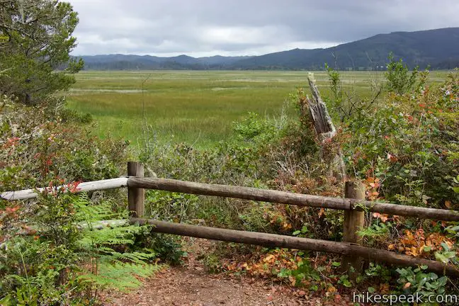
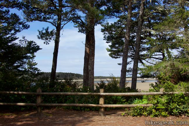
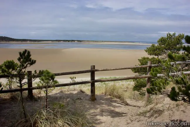
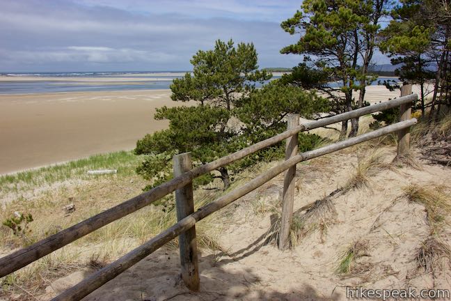
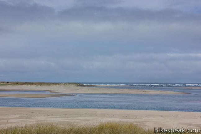
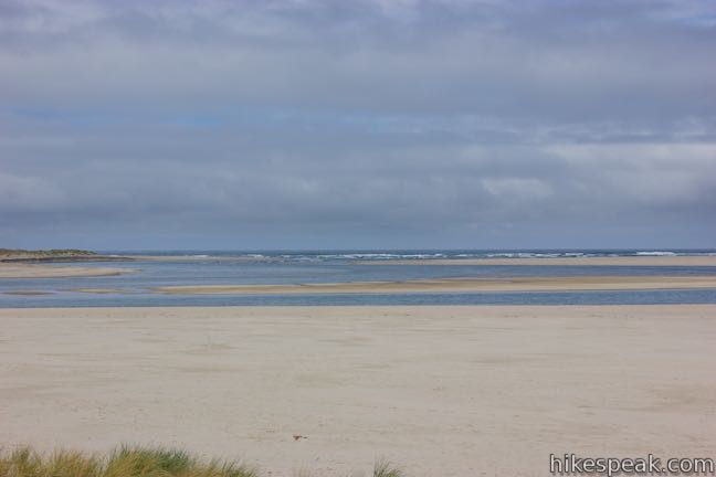
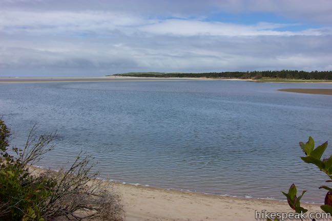
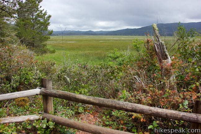
Just past the sign, the trail curves to the right alongside a railing that has views through tall pines out onto the estuary. Look out over the beach and across the gentle waters of the estuary. Across the way is the peninsula of Sitka Sedge State Natural Area, where an eroded sandy bluff is topped by evergreens that have tall bare trunks beneath needle-packed canopies. This is a wild and picturesque piece of the Oregon Coast!
Leaving the first overlook, Whalen Island Loop Trail continues across a dip in the woods. Walk through a tunnel of trees and come down another rise to a split in the trail. A path to the left goes out to the forest edge where there are views over the estuary. The beach below is accessible from here. You’ve only gone a tenth of a mile from the trail junction by the map and already crossed two viewpoints (and this isn’t even one of the six scenic viewpoints along the loop that are highlighted on the map)!
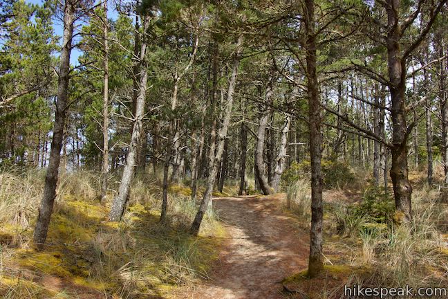
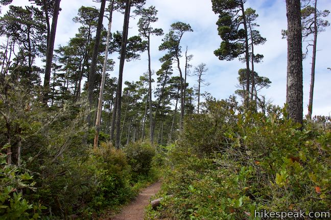
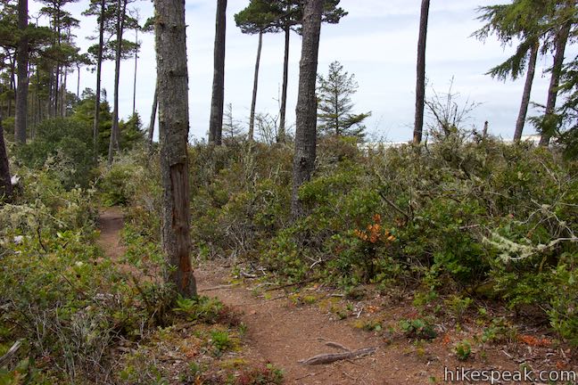
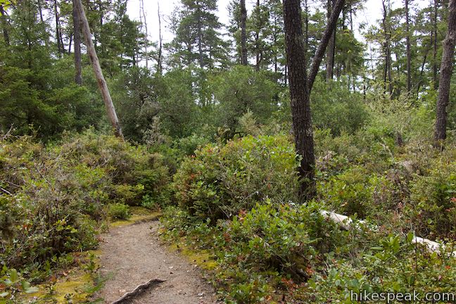
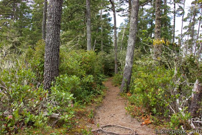
Keep on hiking north on Whalen Island Loop Trail, weaving through a woodland of shore pines. The trees are spaced far enough apart to allow ample sunlight to reach the forest floor. Evergreen huckleberry bushes line the trail, boasting tempting summer berries.
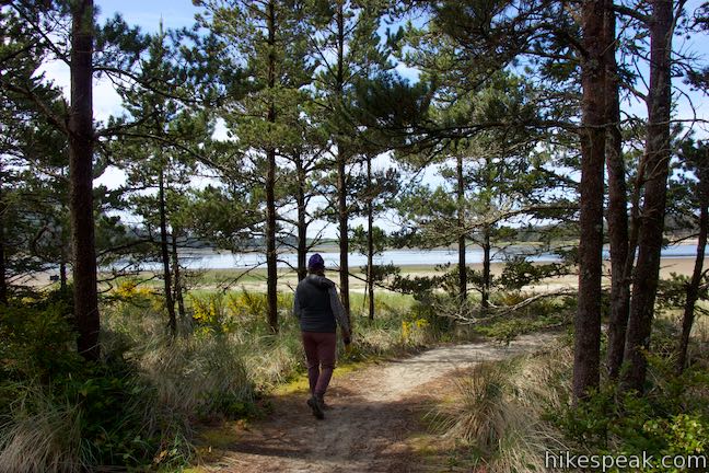
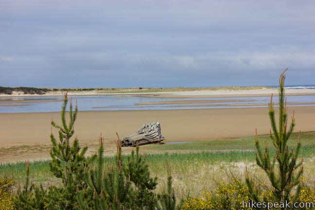
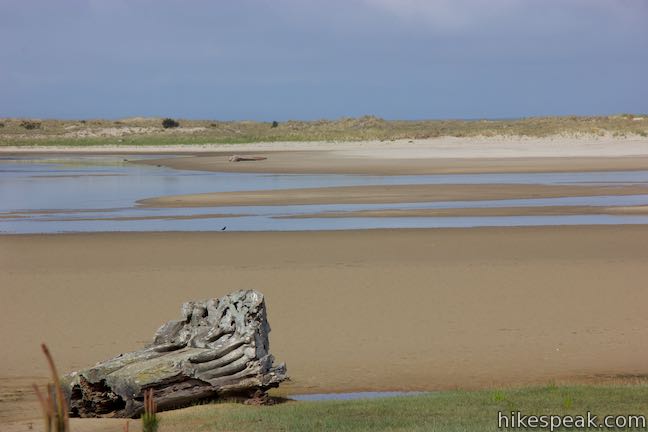
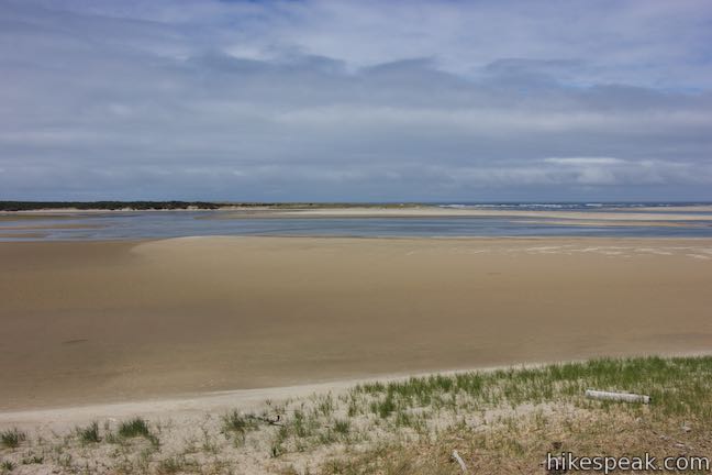
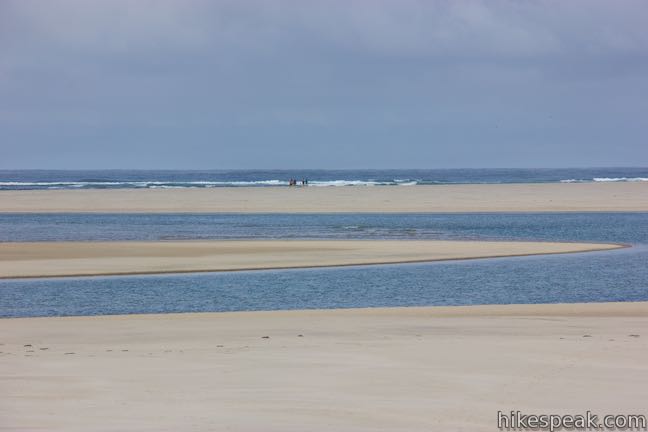
The trail is soft and sandy underfoot. In no time you will come to another scenic viewpoint (this one does make the park trail map). Step off the left side of the trail and walk out to a wooden railing that crosses the top of a sandy ledge at the edge of the forest. Gaze across the sand flats and the estuary pools. To the right, you can spot waves rolling up on the beach at the mouth of the estuary.
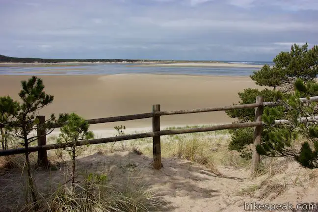
This viewpoint is 0.35 miles from the trailhead. In another tenth of a mile, one more path off the trail leads to another vista spot (not highlighted on the map) with improved views of the ocean surf at the end of the estuary.
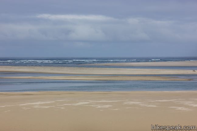
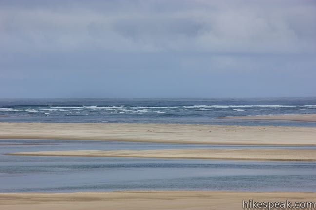
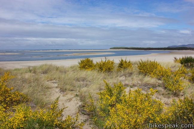
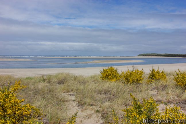
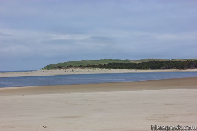
As you cross the half-mile point of the loop, the trail curves to the right and begins to venture northeast along the north side of the island. A couple paths in this area part from the left side of the trail and pop out from the forest through patches of dune goldenrod to reach the beach. If you brought a picnic, there are nice places to sit and have lunch. This corner of Whalen Island is closest to the ocean. Look out at the mouth of the estuary and the beaches to the north and south.
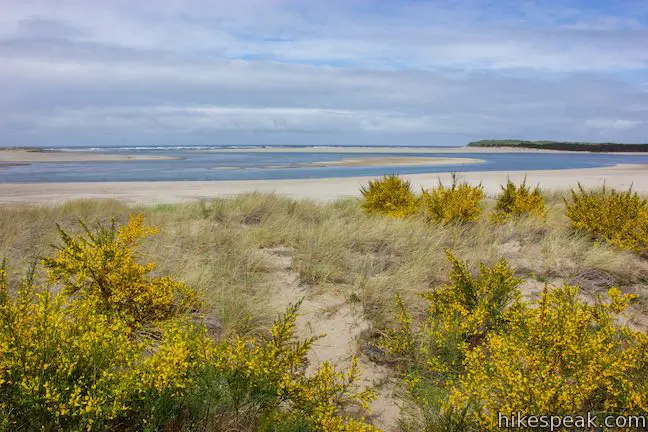

The views have shifted from the start of the loop, so you can now look across the weaving waterway on the north side of the island. On the opposite shore is a parking area for Sand Lake Recreation Area. (Off highway vehicles may be seen and heard playing on the dunes to the northwest.)
If you wish to circle back to the trailhead along the beach, instead of completing Whalen Island Loop Trail, this is a good place to leave the trail and start walking back on the sand.
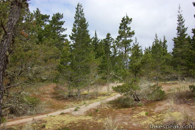
After these beach viewpoints (0.55 miles from the start), the trail goes up a hill of sand. Stomp up the trail into the forest above. Follow the trail straight past a couple spur paths on the left and right. Lupines grow in the sunny sand along the trail. Hike down the other side of the hill and around a bend. A path on the left leads out to another viewpoint, located at a wide elbow in Sand Creek. The water is a beautiful blue and close to the trail.
Whalen Island Loop Trail continues into the forest, leaving behind the ocean-facing views. As the trail starts to head south, cross one more important viewpoint. Take the spur down to the left, which leads to a railing at the edge of the Lillian Parker Craft Wetland. In front of you, a plain of green grasses is backed by mountains of dark blue evergreens.
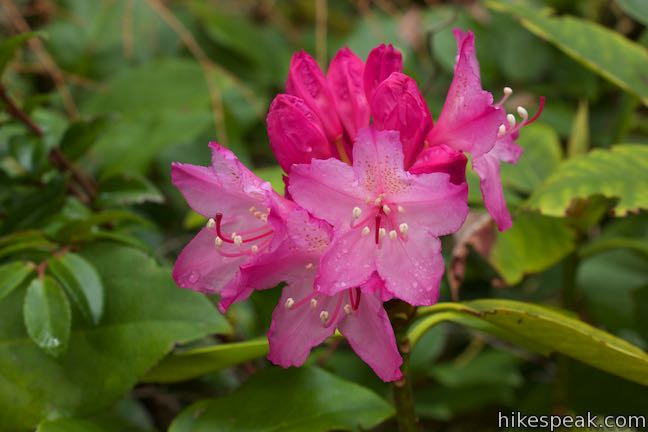
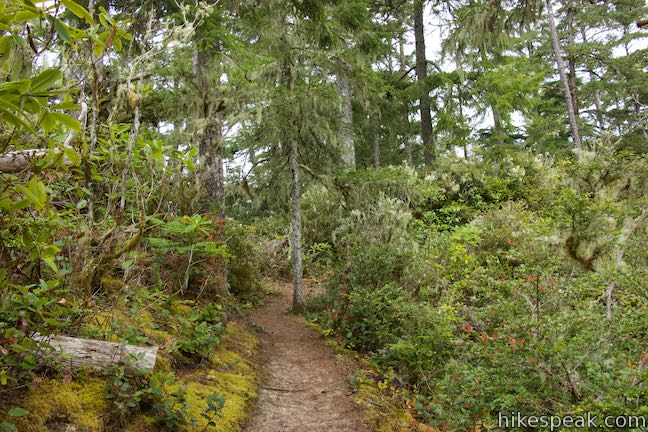
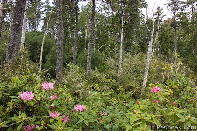
With 0.85 miles completed, the final 0.65 miles are not as eventful as the start of the loop, which is flush with estuary views. Hike along the rolling trail through a mossy forest. Bright pink rhododendrons bloom along the trail in the spring. Salal and ferns are common too, growing beneath Douglas firs and Sitka spruce. At crests in the trail, look for views east over the Lillian Parker Craft Wetland.
Eventually, the trail returns to the parking area in Clay Myers State Natural Area, across from where the loop began. For a bit of extra hiking, just before reaching the road, follow a trail on the left out to an additional view of the wetlands. No permit is needed to hike Whalen Island Loop Trail and parking at the trailhead in Clay Myers State Natural Area at Whalen Island is free (as of 2021), although space is limited. Dogs are welcome on Whalen Island Loop Trail, but bikes are not permitted.
To get to the trailhead: From the center of Tillamook, where US 101 intersects Route 6 (to Portland) and Route 131 (to Oceanside and Cape Meares), travel south on Highway 101. Take US 101 for 11 miles to a major intersection (4 miles past the road to Munson Creek Falls). Turn right onto Sandlake Road and drive west for 4.3 miles. At an intersection with Cape Lookout Road, turn left to stay on Sandlake Road, following signs for Pacific City. (If you are taking the coastal route south down Cape Lookout Road, the Sandlake Road intersection is just 3.3 miles past the Cape Lookout Trailhead.) From the intersection, drive south for 3.6 miles on Sandlake Road and then turn right onto Whalen Island Road. Drive down across a bridge and stay to the right past the county-operated day use area and campground to get to the state-operated parking area at the end of the road, a quarter mile from Sandlake Road.
Coming from the south, from Cape Kiwanda in Pacific City, take Cape Kiwanda Drive north, which becomes McPhillips Drive. After 3/4 of a mile, reach an intersection with Sandlake Road. Turn left and drive north for 3 mile to the turnoff for Whalen Island Road, on the left.
Trailhead address: Clay Myers State Natural Area at Whalen Island, Whalen Island Road, Cloverdale, OR 97112
Trailhead coordinates: 45.2732, -123.9502 (45° 16′ 23.5″N 123° 57′ 00.7″W)
View Whalen Island in a larger map
Or view a regional map of surrounding Oregon trails and campgrounds.


 | Munson Creek Falls Trail This short hike near Tillamook travels up a forest canyon to the tallest waterfall in Coastal Oregon. |
 | Oceanside Beach to Tunnel Beach This 0.8-mile beach walk comes with an adventurous twist, a man-made tunnel through a cliff that leads from one beautiful beach to another more secluded beach in Oceanside. |
 | Cape Meares Lighthouse & Octopus Tree This easy 0.8-mile hike in Cape Meares State Park visits a beautiful lighthouse and an equally impressive tree, exploring a coastal cape with tall cliffs and big ocean views. |
 | Cape Lookout Trail This 5-mile round trip hike ventures down a promontory on the Oregon Coast with beautiful ocean views. |
 | Cape Kiwanda This short beach hike explores tide pools and sand dunes at a rugged headland on Oregon's coast near Pacific City. |
 | Alder Island Nature Trail This short, easy hike off the coast south of Lincoln City explores a small island at the mouth of the Siletz River. |
 | Ecola Point to Indian Beach This 2 2/3-mile round trip hike explores a wild and beautiful section of Oregon Coast Trail between Ecola Point and Indian Beach in Ecola State Park. |
 | Saddle Mountain Trail This 5-mile round trip hike rises through fir forests and wildflower-filled slopes up to a summit with panoramic coastal views. |
 | Beaver Falls This short hike slips down through forest to a beautiful waterfall plunging over a basalt wall. |
 | Trails in Oregon Explore more hikes throughout the state of Oregon. |
 | Whalen Island County Campground This 33-site campground is a nice camping option on Whalen Island with easy access to estuary beaches and Whalen Island Loop Trail. |
 | Cape Lookout State Park Campground This grand, oceanfront campground has over 200 sites right behind a big, beautiful beach. |
A Statesman Journal article by William Sullivan about Whalen Island Loop Trail
Whalen Island Loop Trail on oregonhikers.org
Whalen Island on oregoncoastmagazine.com
Whalen Island Loop Trail on alltrails.com
Whalen Island Loop Trail on hikermoms.com
Clay Myers State Natural Area at Whalen Island on wikipedia.org
The official webpage for Clay Myers State Natural Area at Whalen Island
Go the extra miles...
Submit a rating of this hike to go with your comment. Contribute to the average trail rating.