Map Attribution
A lot goes into the maps on Hikespeak.com! Lets give credit where credit is due.

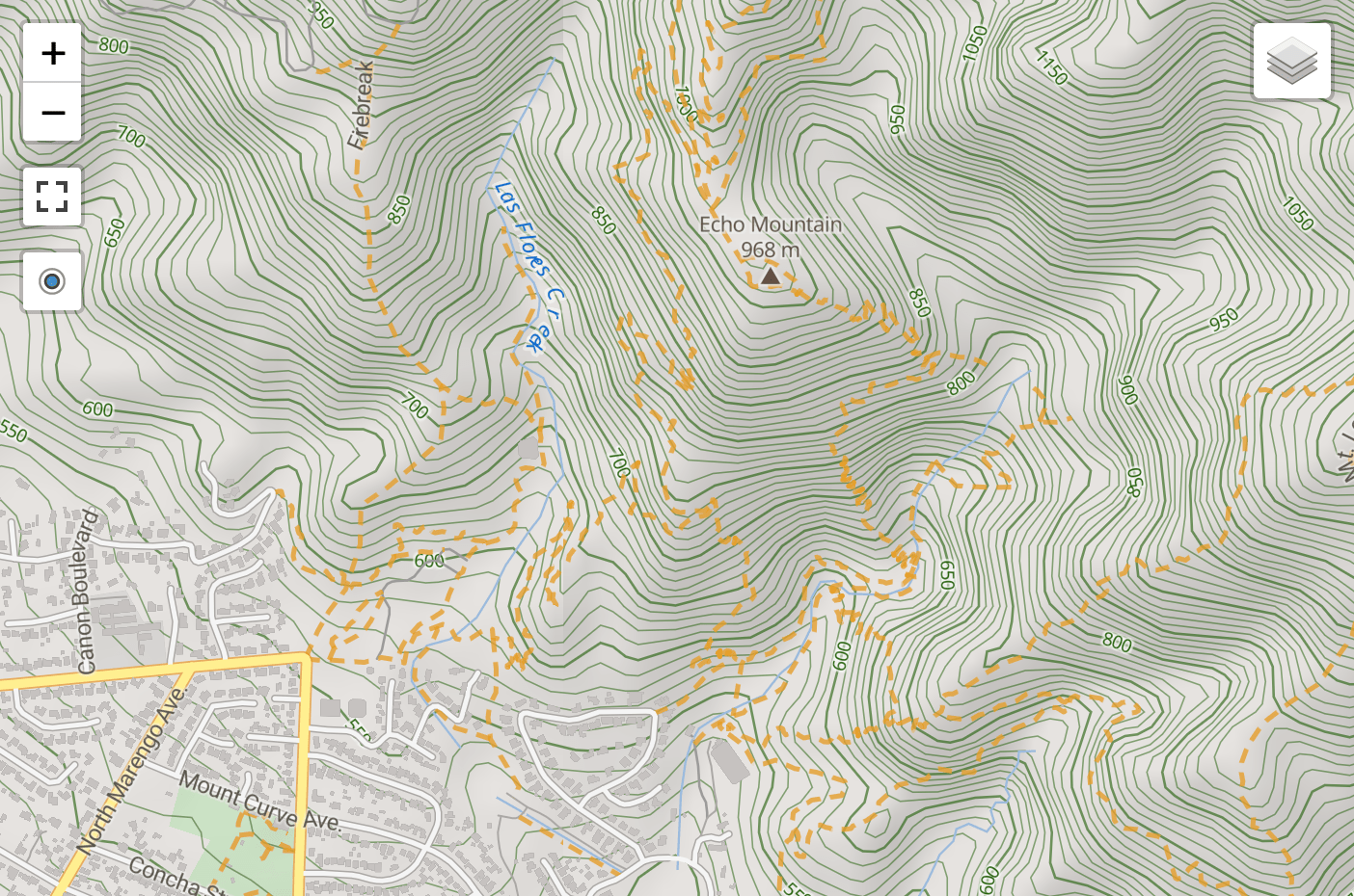
For the maps shown on this site, the main background map layer, Terrain, and the Roads layer are both generated by MapTiler.com.© MapTiler makes it “easy to create and self-host maps for your websites and products.”
These maps rely on data from OpenStreetMap.© OpenStreetMap is “a map of the world, created by people like you and free to use under an open license” (CC-BY-SA). Thank you to everyone who contributes to OpenStreetMap!
![]() The Layers Control (in the map’s upper right corner) can be used to explore a few other different background maps.
The Layers Control (in the map’s upper right corner) can be used to explore a few other different background maps.
The Satellite map layer displays imagery from Mapbox.com.© Mapbox is “a location data platform for mobile and web applications.” Mapbox is also dependent on OpenStreetMap, along with additional sources like DigitalGlobe.com and the National Agriculture Imagery Program (NAIP) of the United States Department of Agriculture (USDA) Farm Service Agency.
In the United States, additional map layers are provides by the U.S. Geological Survey (USGS), part of the Department of the Interior. These maps are labeled USGS Topo and Topo & Images (the latter combines satellite imagery with topographical information).
Hikes in Utah may also display a Utah Topo map provided by Utah Automated Geographic Reference Center (AGRC). This base map is a rendering of U.S. Geological Survey topographic maps.
For New Zealand adventures, topographical maps come courtesy of Land Information New Zealand (LINZ). In addition to the LINZ Topo, the satellite view LINZ Aerial Images are also sourced from LINZ. CC BY 4.0
Outings in Tasmania, Australia have access to a Tasmania Map, created by Land Information System Tasmania. The LIST MAP is copyright of the State of Tasmania.
![]()
What about all the markers, lines, and descriptions?
The interactive layers of the cartography belong to Hikespeak.com and were created for use on this website. All contents copyright Hikespeak.com.
A special thanks to Chris Jensen for his work on the elevation profile visualizations that accompany the each trail map!
What else can I do with maps?
Use the buttons on the left side of the map for a couple additional functions. Expand the map to fullscreen to really explore. Click the second control button to a marker for your location to the map — put yourself in the middle of the action. This could help you stay on track when viewing the map on a mobile device (as long as your are hiking somewhere with data).
Lastly, the maps on Hikespeak.com come together with the help of Leaflet, an open-source javascript library for interactive maps.