
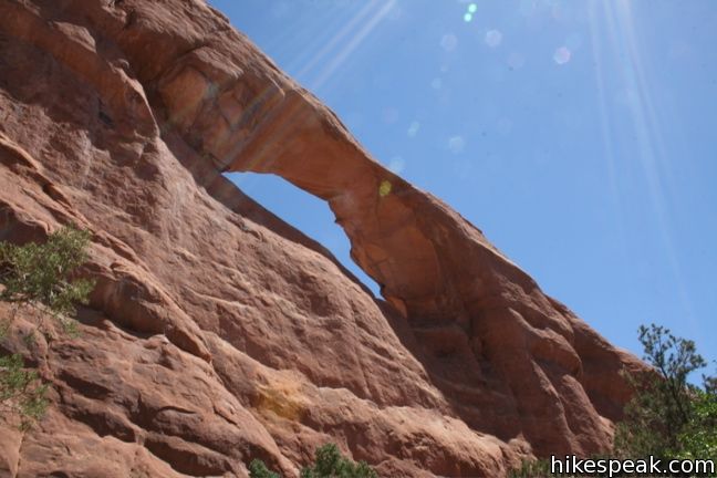
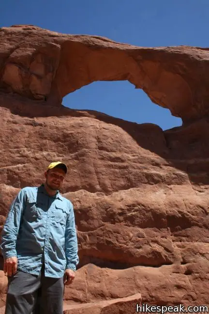
Skyline Arch Trail is short enough to be overlooked when you are planning your itinerary for Arches National Park, but the impressive rock span at the end of the effortless trail is worth checking out. Located near the Devils Garden Trailhead (start of the hike to Landscape Arch), this 0.4-mile round trip hike ascends a mere 50 feet to the base of a sandstone fin that houses a large elevated natural arch.
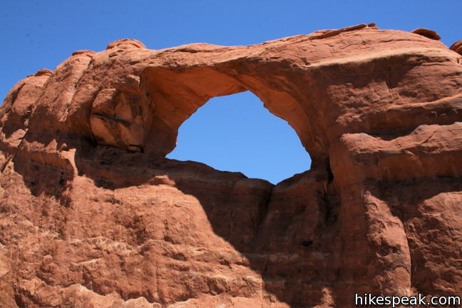
A panel at the trailhead depicts how a large block of sandstone fell from Skyline Arch in 1940, doubling the size of the arch overnight. Currently, the arch measures 71 feet across and 33.5 feet tall. Boulders from the collapse remain, and can be seen below the arch today.
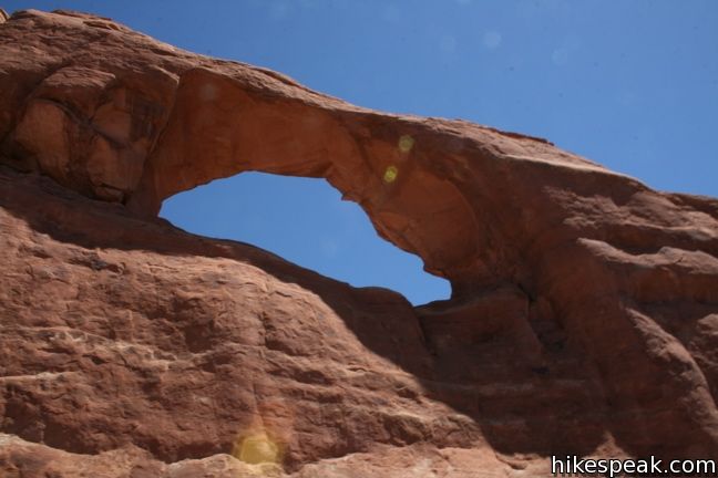
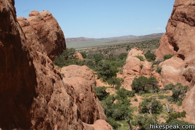
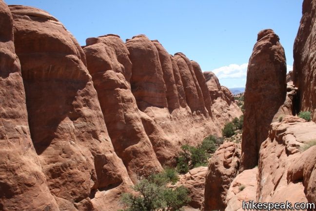
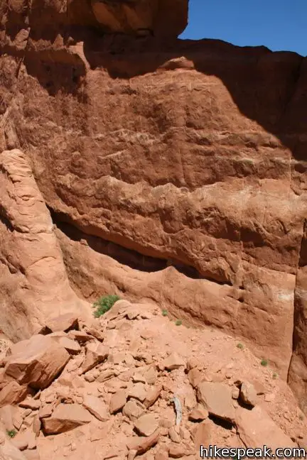
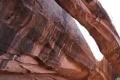
The hike is so short that Skyline Arch is visible from the start. Take the well maintained single-track around the north end of a sandstone fin running parallel with the arch. On the other side, you will come across the boulders that settled on the desert floor. Either stand back and enjoy the view of the arch, or scramble up the rocks onto the neighboring fin to gain a better perspective of Skyline Arch.
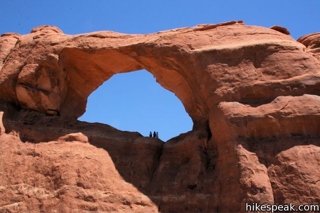
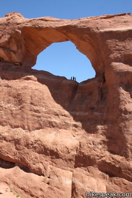
A sheer drop on the sandstone wall below the arch makes it impossible to reach from this side. There is however, a trail up the backside of Skyline Arch that begins at Devils Canyon Campground. If you happen to see adventurous campers standing below the arch, you will know how they got there.
Directions to the Trailhead
- From the visitor center, drive 17.5 miles north on Park Avenue.
- The trail to Skyline Arch begins from a turnout half a mile from the end of the road at Devils Garden.
Trailhead Location
Trailhead address: Arches Entrance Road (Park Avenue), Arches National Park, Moab, UT 84532
Trailhead coordinates: 38.772, -109.59095 (38° 46′ 19.2″N 109° 35′ 27.4″W)
You may also view a regional map of surrounding Utah trails and campgrounds.


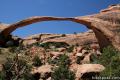 | Landscape Arch This level 2.5-mile hike visits the longest natural arch in the world along with two other enjoyable arches. |
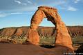 | Delicate Arch This 3-mile hike visits this most iconic arch in the world, a beautiful span that should not be missed. |
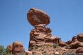 | Balanced Rock This short loop circles a perilous block of sandstone balancing near the center of Arches National Park. |
 | Double Arch This 0.8-mile hike visits a pair of connected arches in the Windows region of Arches National Park. |
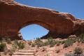 | Window Arches This one-mile loop presents three arches in close proximity, the North and South Windows and Turret Arch. |
 | More trails in Utah Explore other hikes in Arches National Park and elsewhere. |
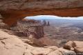 | Mesa Arch in Canyonlands National Park This 0.7-mile loop visits a picturesque arch spanning across the mesa's edge in the Island in the Sky. |
 | Morning Glory Bridge in Moab This 6-mile round trip hike travels through a scenic canyon to a 243-foot long natural bridge. |
- Skyline Arch in Hiking Canyonlands and Arches National Parks by Bill Schneider (opens in a new tab)
- Skyline Arch on Utah.com (opens in a new tab)
- Skyline Arch on nileguide.com (opens in a new tab)
- Arches National Park on wikipedia.org (opens in a new tab)
- The official website for Arches National Park (opens in a new tab)
Common Questions about Skyline Arch in Arches National Park
- Is the trail open?
- Yes. You should expect to find that Skyline Arch Trail is open. There are no recent reports of trail closures. If you discover that the trail is closed, please help your fellow hikers by reporting a closure.
- Do I need a permit for this hike?
- Yes. National Park Entrance Fee.
- How much time does this hike take?
- It takes approximately 15 minutes to hike Skyline Arch Trail. Individual hiking times vary. Add extra time for breaks and taking in the views.
- How long is this hike?
- The hike to Skyline Arch Trail is a 0.4 mile out and back with 40 feet of elevation change.
- Are dogs allowed on this trail?
- No, dogs are likely not allowed on Skyline Arch Trail. The trail is primarily open to hikers.
- Is Skyline Arch Trail good for kids?
- Yes, this hike is likely suitable for children. It is relatively short (0.4 miles) with manageable elevation gain.
- Where is the trailhead located?
- The trailhead for Skyline Arch Trail is located in Moab, Utah.
Trailhead Address:
Arches Entrance Road
Moab, Utah 84532
Trailhead Coordinates:
38.772, -109.59095 - What are the driving directions to the start of the hike?
To get to the trailhead: From the visitor center, drive 17.5 miles north on Park Avenue. The trail to Skyline Arch begins from a turnout half a mile from the end of the road at Devils Garden.
View custom Google Maps directions from your current location.
- Are there other trails near Skyline Arch Trail?
- Yes, you can find other nearby hikes using the Hikespeak Hike Finder Map.

[…] Skyline Arch – at the end of the loop road before you turn around. (It’s only a .4 mile round trip hike if you wish to get up close and personal with this arch.) […]