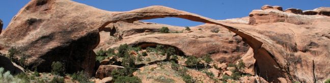
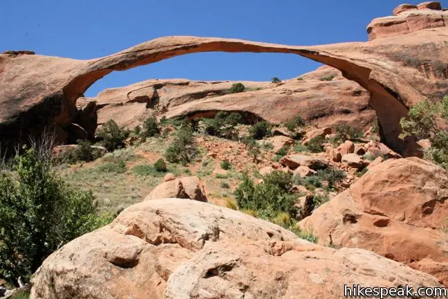
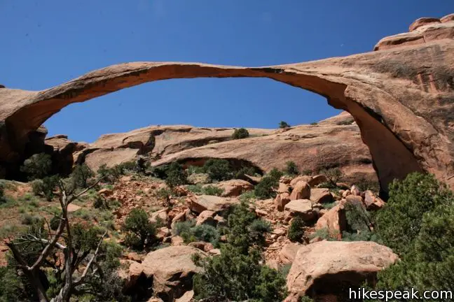
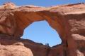
The 290-foot long Landscape Arch is believed to be the longest natural rock span in the world. The impressive sandstone arch can be reached via a level two-mile out and back hike in the Devils Garden region of Arches Nation Park. The trek can be expanded to 2.5-miles round trip by visiting two other arches along the way, or extended beyond Landscape Arch to visit several more arches deeper in Devils Garden.
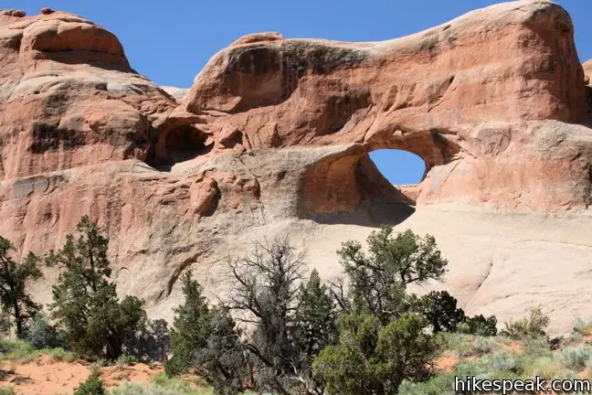
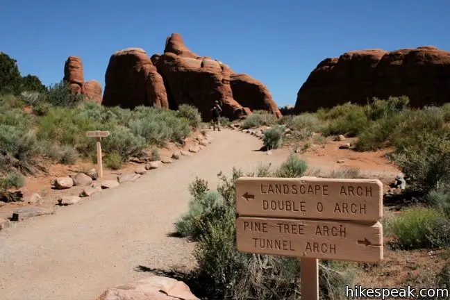
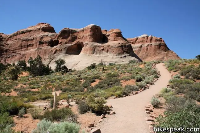
To reach Landscape Arch, begin at Devils Garden Trailhead at the very north end of Park Avenue. The trail leaves the parking lot and passes between tall sandstone fins to enter an arch-filled wonderland or rocks. The wide gravel trail is quite level, ascending just 50 feet over the first 0.3 miles, where it comes to a junction with the spur trail to Tunnel Arch and Pine Tree Arch. To explore these fine arches, make a right and take the equally wide trail down to another split. A short track to the right heads closer to Tunnel Arch, perched on the sandstone wall ahead. The left fork continues for 0.2 miles to the ground-level Pine Tree Arch. You can actually stand directly beneath Pine Tree Arch, making it a fun destination. Visiting these two arches adds half a mile to the total distance of the hike.
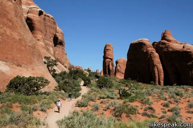
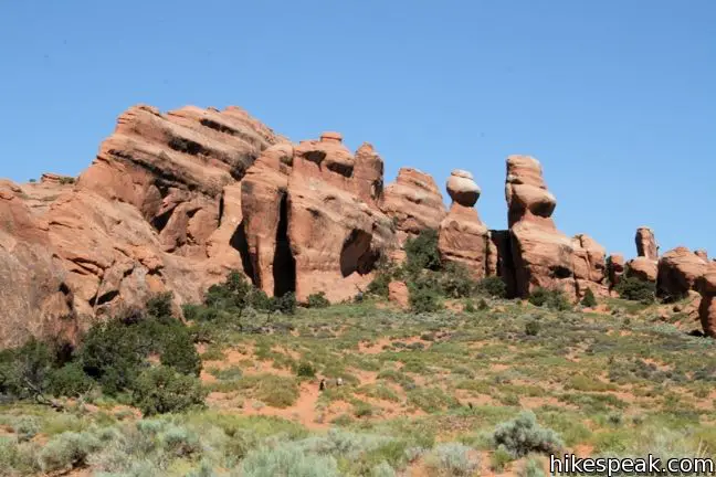
When you finish with the two appetizer arches, continue up the main trail through a landscape of impressive sandstone formations. The longest arch in the world is 3/4 of a mile past the junction. However, the trail turns from gravel to sand 0.2 miles before the arch. Follow the track to the left toward the long thin ribbon of rock running along the side of a sandstone wall.
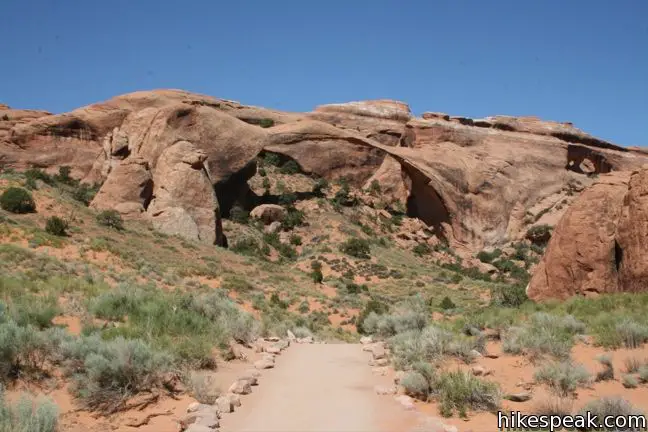
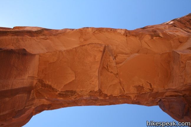
The mirage-like Landscape Arch looks entirely under-supported. The arch is so long and so thin, it’s hard to believe it can stand. The arch’s existence would throw the entire notion of gravity into question, were it not for three pieces of the arch that have broken off in the last two decades.
A trail that once ran below the arch was closed after a 180-ton block fell from Landscape Arch in 1991. A wooden fence keeps visitors a safe distance from the fragile arch, while still offering impressive views. Boulders from the fallen sections can be seen covering the old trail below the arch.
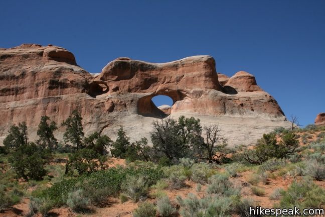
Once your eyes come to accept that this improbable arch is actually standing, you are free to hike back the way you came. If you are eager for more, six other arches are farther up the trails beyond Landscape Arch. Partition Arch, Navajo Arch, Wall Arch, Private Arch, Dar Angel Arch, and Double O Arch can be reached via a combination of primitive and maintained trails. Seeing them all will add about five miles to this hike.
Directions to the Trailhead
- From the visitor center, drive 18 miles north up Park Avenue.
- The road ends at Devils Garden.
- Parking for the trailhead is just past the campground.
Trailhead Location
Trailhead address: Devil’s Garden Trailhead, Arches Entrance Road (Park Avenue), Arches National Park, Moab, UT 84532
Trailhead coordinates: 38.78285, -109.5951 (38° 46′ 58.3″N 109° 35′ 42.4″W)
View Arches National Park in a larger map
Or view a regional map of surrounding Utah trails and campgrounds.


 | Skyline Arch This short 0.4-mile hike ends below a wide arch near the top of a sandstone fin. |
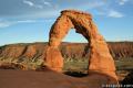 | Delicate Arch This 3-mile hike visits this most iconic arch in the world, a beautiful span that should not be missed. |
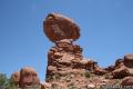 | Balanced Rock This short loop circles a perilous block of sandstone balancing near the center of Arches National Park. |
 | Double Arch This 0.8-mile hike visits a pair of connected arches in the Windows region of Arches National Park. |
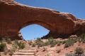 | Window Arches This one-mile loop presents three arches in close proximity, the North and South Windows and Turret Arch. |
 | More trails in Utah Explore other hikes in Arches National Park and elsewhere. |
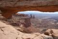 | Mesa Arch in Canyonlands National Park This 0.7-mile loop visits a picturesque arch spanning across the mesa's edge in the Island in the Sky. |
 | Morning Glory Bridge in Moab This 6-mile round trip hike travels through a scenic canyon to a 243-foot long natural bridge. |
Common Questions about Landscape Arch in Arches National Park
- Is the trail open?
- Yes. You should expect to find that Devils Garden Trail is open. There are no recent reports of trail closures. If you discover that the trail is closed, please help your fellow hikers by reporting a closure.
- Do I need a permit for this hike?
- Yes. National Park Entrance Fee.
- How much time does this hike take?
- It takes approximately 1 hour 15 minutes to hike Devils Garden Trail. Individual hiking times vary. Add extra time for breaks and taking in the views.
- How long is this hike?
- The hike to Devils Garden Trail is a 2.5 mile out and back with 130 feet of elevation change.
- Are dogs allowed on this trail?
- No, dogs are likely not allowed on Devils Garden Trail. The trail is primarily open to hikers.
- Where is the trailhead located?
- The trailhead for Devils Garden Trail is located in Moab, Utah.
Trailhead Address:
Arches Entrance Road
Moab, Utah 84532
Trailhead Coordinates:
38.78285, -109.5951 - What are the driving directions to the start of the hike?
To get to the trailhead: From the visitor center, drive 18 miles north up Park Avenue. The road ends at Devils Garden. Parking for the trailhead is just past the campground.
View custom Google Maps directions from your current location.
- Are there other trails near Devils Garden Trail?
- Yes, you can find other nearby hikes using the Hikespeak Hike Finder Map.

Go the extra miles...
Submit a rating of this hike to go with your comment. Contribute to the average trail rating.