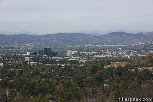
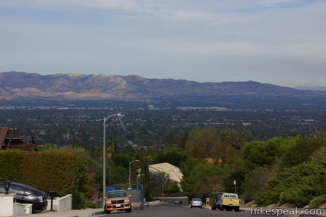
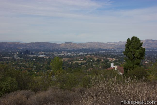
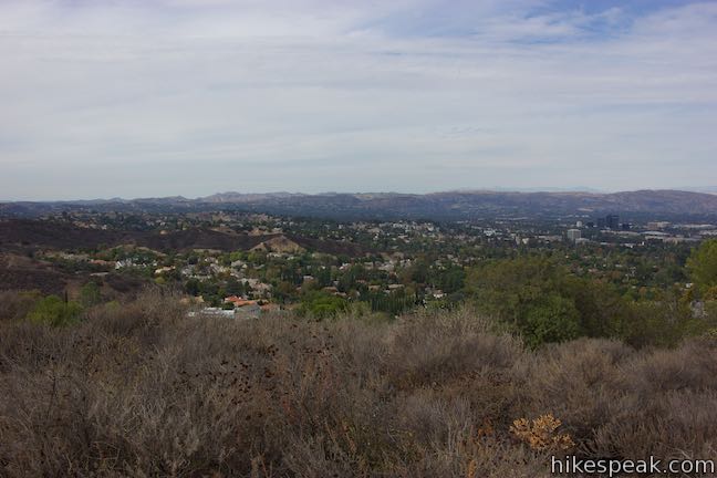
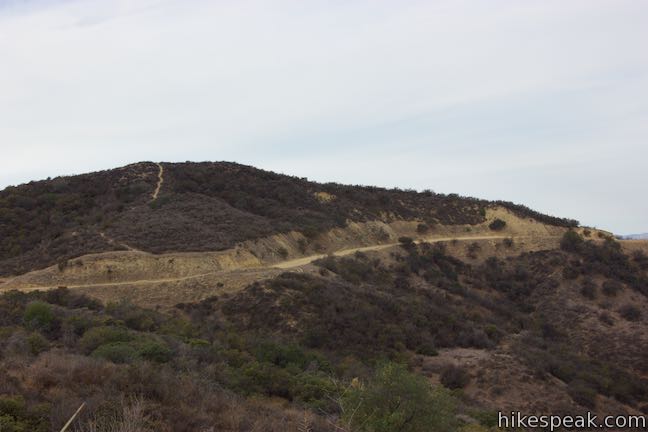
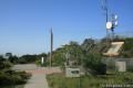
If you like ridge top views without the effort of hiking all the way up a ridge, make your way to the end of Winnetka Avenue in Woodland Hills. From there, Winnetka Ridge Trail runs south along the spine of a ridge into the Santa Monica Mountains. The ridge stands above the west side of Corbin Canyon and delivers broad views over the San Fernando Valley. After 3/4 of a mile, Winnetka Ridge Trail meets Dirt Mulholland, an unpaved section of Mulholland Drive. Hikers not exploring farther can turn around at the junction for a 1.5-mile round trip hike with 200 feet of elevation change.
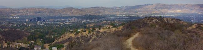
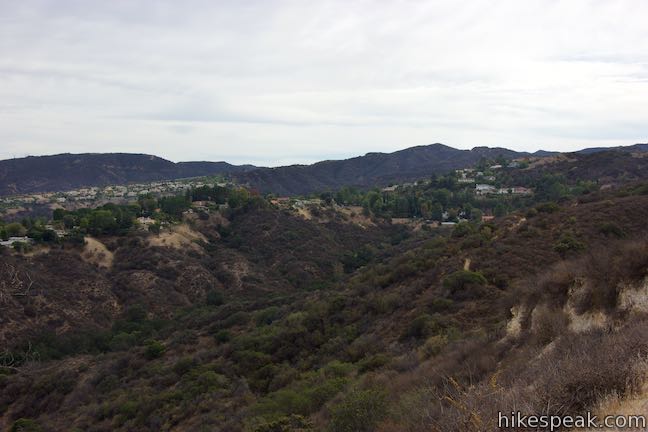
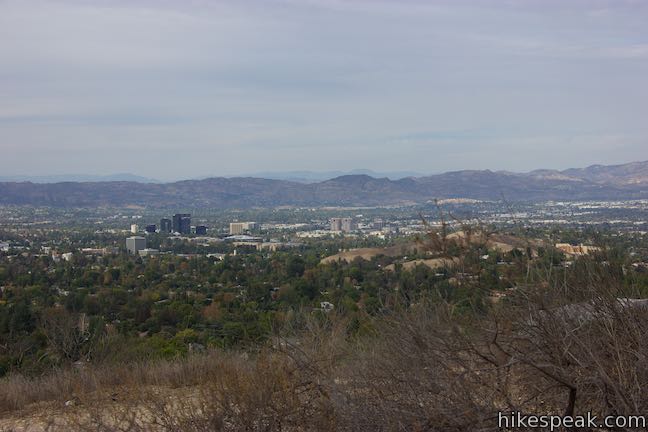
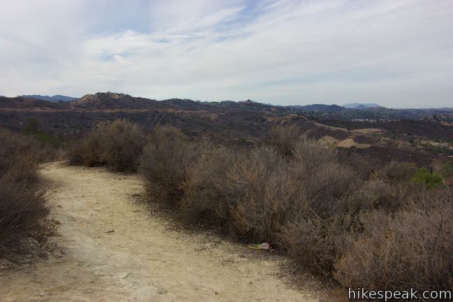
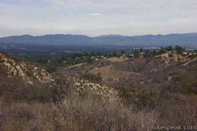
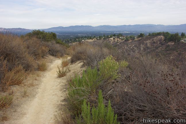
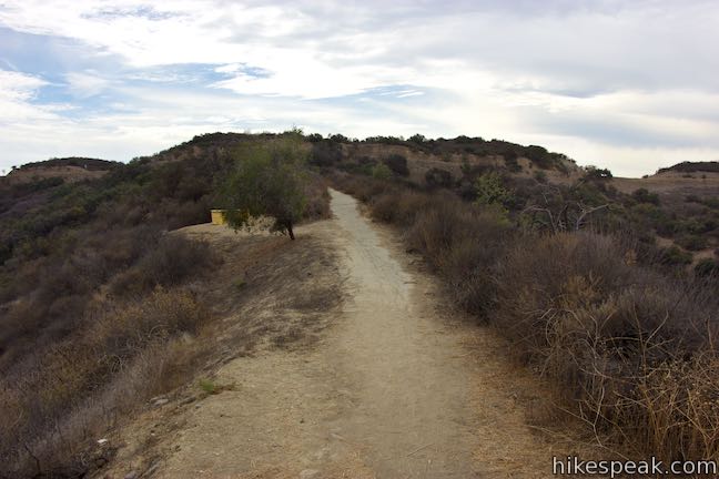
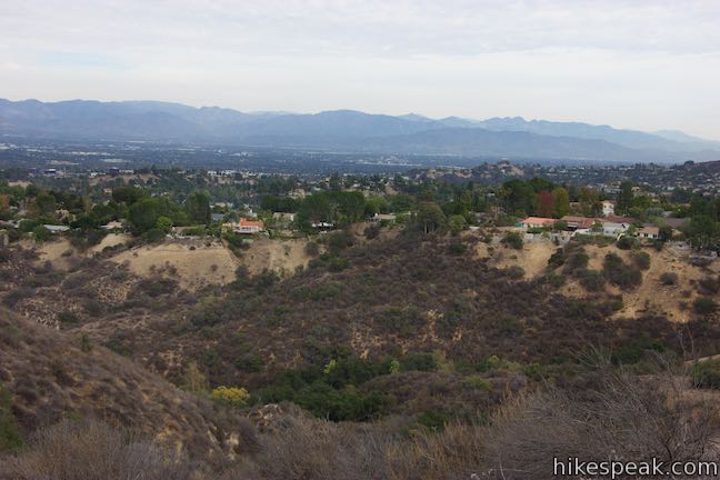
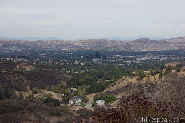
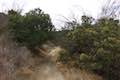
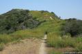
Set out from the top of Winnetka Avenue up the dirt single track going straight off the end of the road. Though unmarked, this trail leads into a piece of Topanga State Park on the north side of the Santa Monica Mountains. Winnetka Ridge Trail (also known as Winnetka Avenue Trail) eases up a rise that presents perspectives to the west, north, and east over the San Fernando Valley. The views are sweeping from the start and don’t let up as you go.
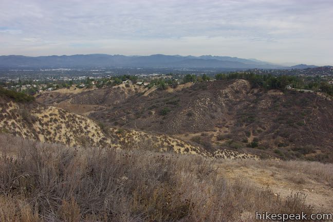
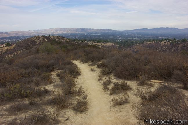
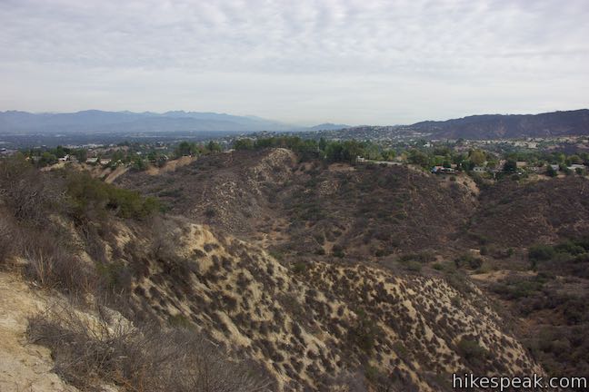
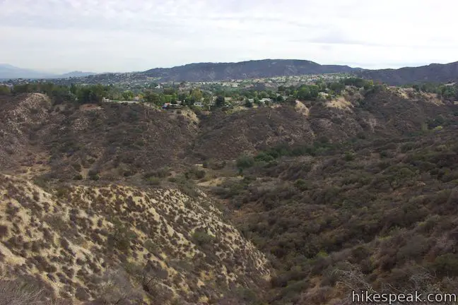
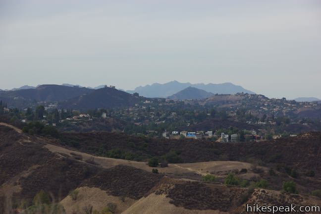
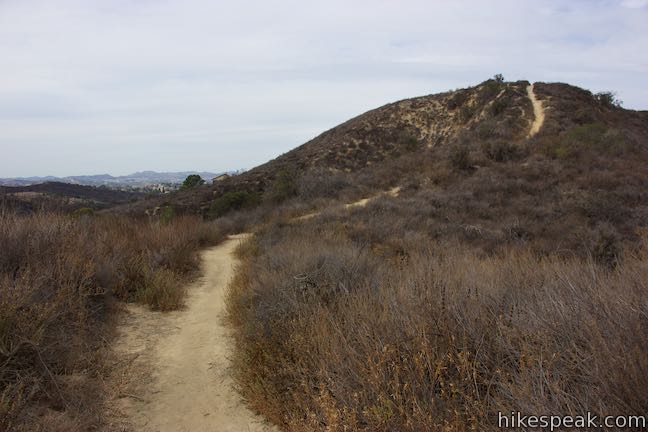
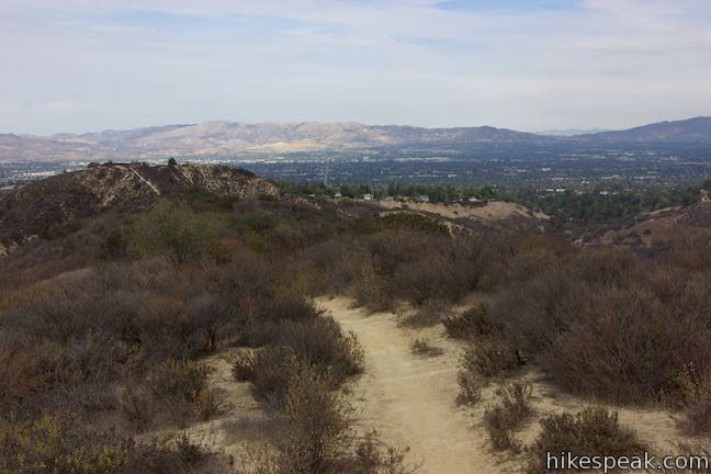
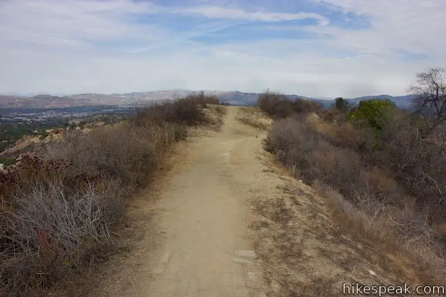
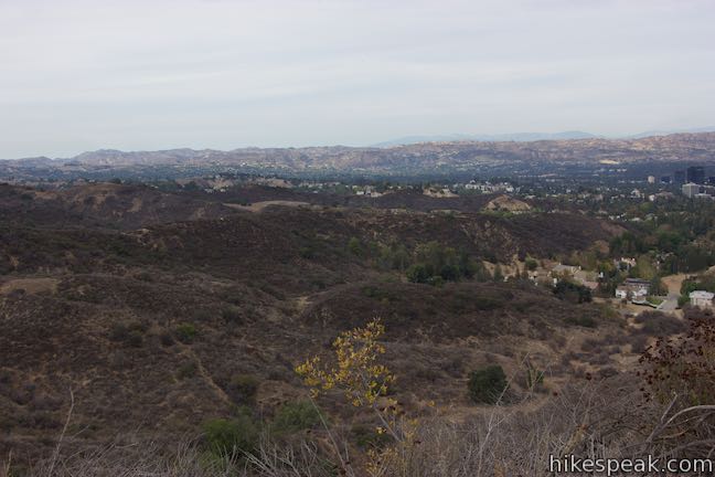
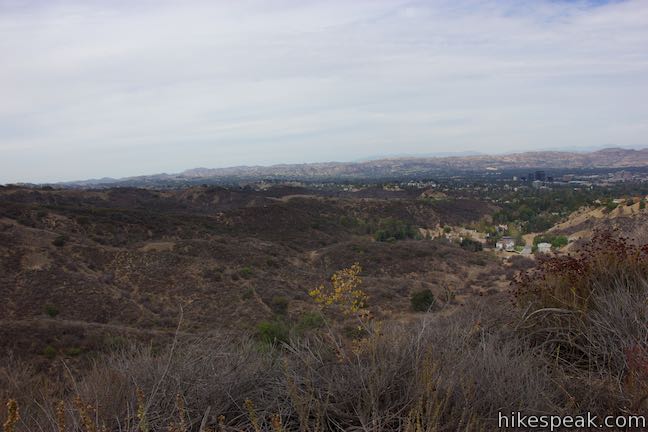
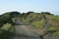
Hike up Winnetka Ridge Trail, heading south up the spine of the ridge. After a tenth of a mile, you will come to a crest that is followed by a pronounced dip in the ridgeline. Before taking the plunge, use this perch to gaze south toward green mountains and ridges in the Santa Monica Mountains.
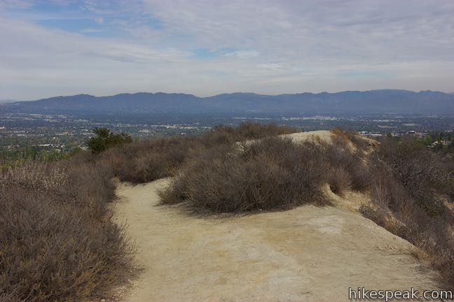
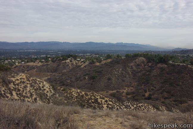
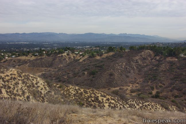
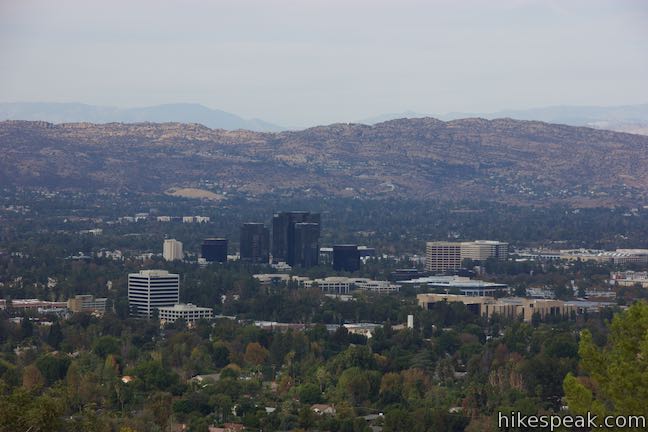
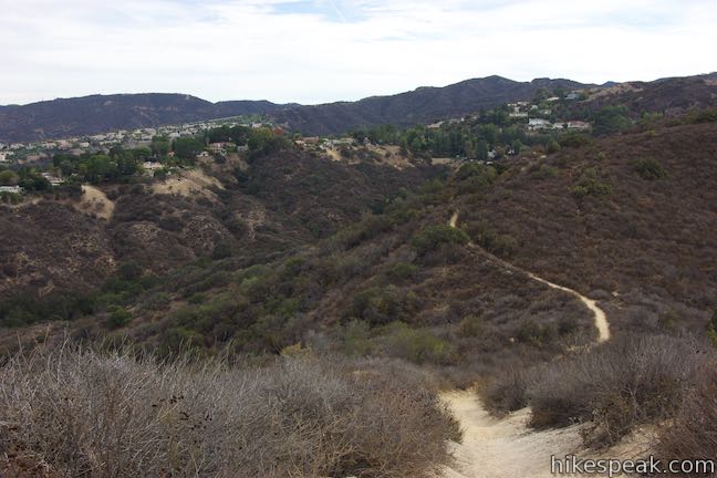
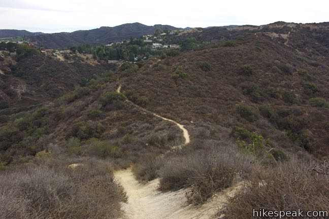
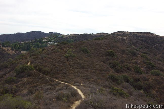
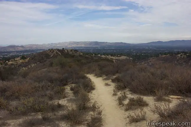
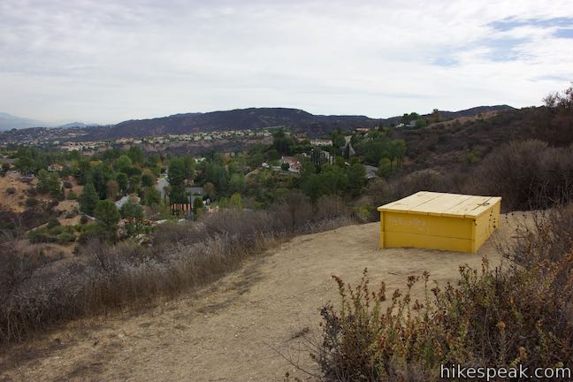
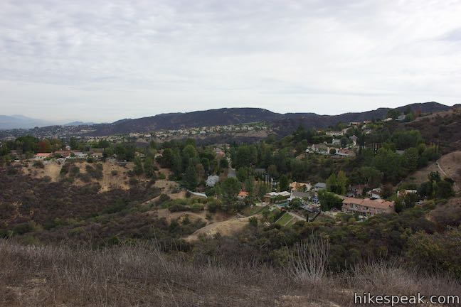
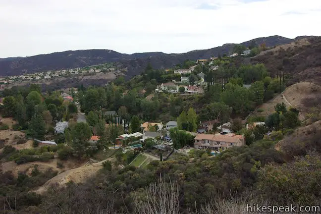
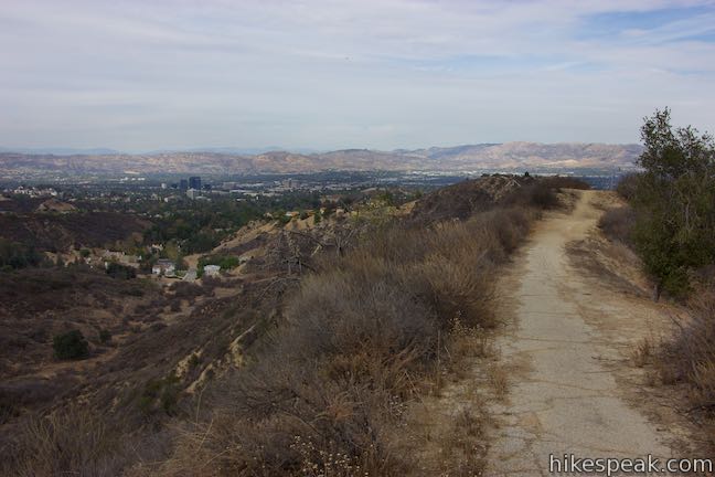
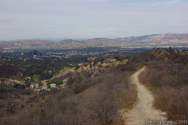
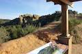
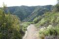
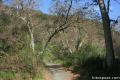
Winnetka Ridge Trail quickly sacrifices 100 feet of elevation. Cross the bottom of the dip and hike up the other side. The trail gradually ascends through some brush and alternates between views off the east and west sides of the ridge. Corbin Canyon Trail can be seen at the bottom of the small canyon to the east. Beyond that, across the San Fernando Valley, rise the west end of the San Gabriel Mountains. Houses are built up against the west side of Winnetka Ridge. Look west toward higher peaks in the Santa Monica Mountains or northwest over downtown Woodland Hills toward the Santa Susanna Mountains.
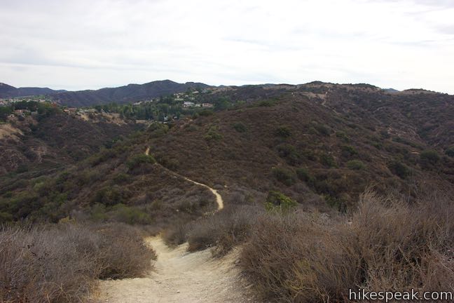
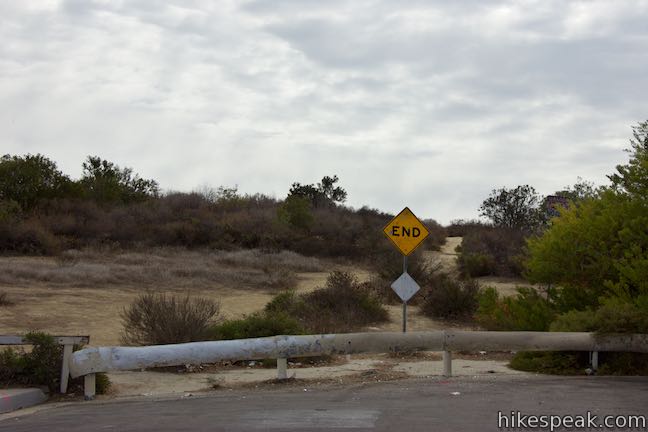
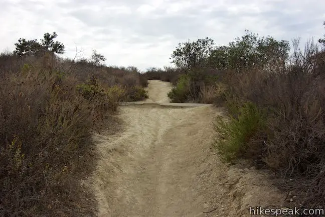
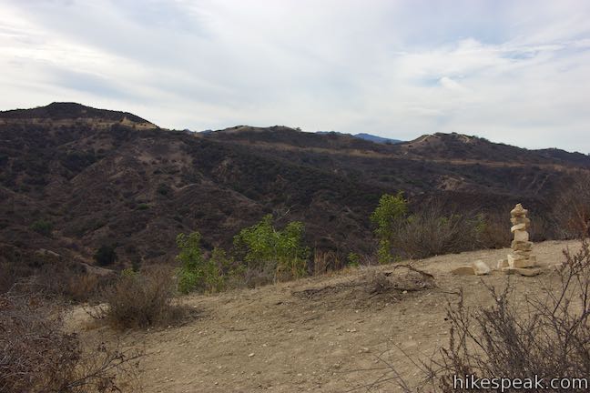
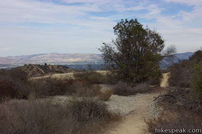
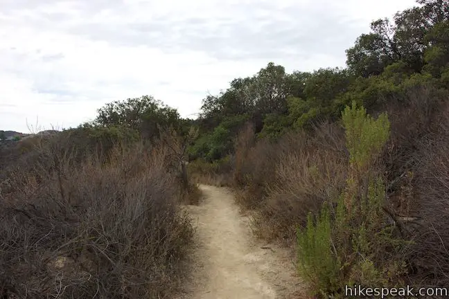
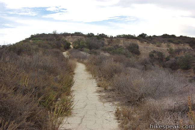
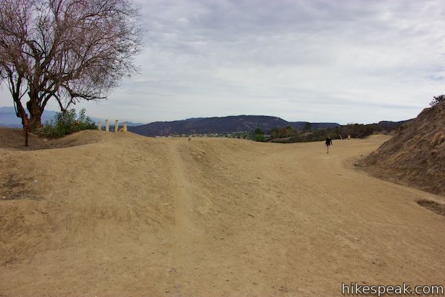
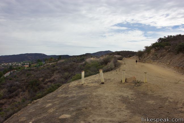
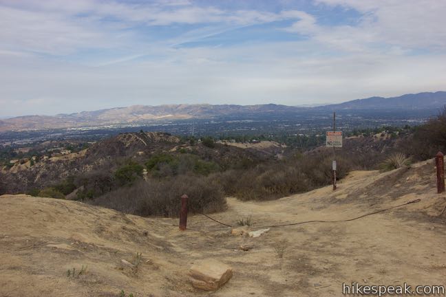
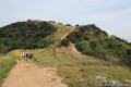
Keep hiking up Winnetka Ridge Trail and you will eventually land your feet on a few patches of pavement. This is a surprising indicator that you are approaching the end of the ridge. The trail comes up from just below the spine of the ridge and makes a turn to the right to head straight south. On the hike back, look out for this turn to avoid a misleading path that goes north along the ridge top. In another 0.15 miles, Winnetka Ridge Trail comes to a junction with an unpaved stretch of Mulholland Drive. You could use this wide dirt trail to continue hiking in either direction.
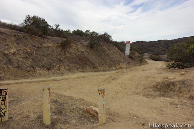
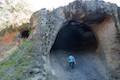
To the west, Dirt Mulholland rolls on for another 1.9 miles before becoming a paved roadway. To the east, Mulholland Drive offers an unpaved path for 5 miles up to San Vicente Mountain, which has panoramic views over Los Angeles. If you hike 3/4 of a mile in this direction, you’ll cross a trail leading to Vanalden Cave, which is fun to explore.
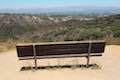
If you aren’t covering more ground on Mulholland Drive, turn around at the junction and hike back to Winnetka Avenue, enjoying grand views over the San Fernando Valley as you go. Winnetka Ridge Trail is 1.5 miles round trip with 200 feet of elevation change. There do not appear to be any restrictions on bringing dogs and bikes on Winnetka Ridge Trail. No permit is required for his hike and parking along Winnetka Avenue is free, so get out and enjoy!
To get to the trailhead: Take the 101 Freeway to the exit 25 for Winnetka Avenue, which is 6 miles west of I-405. Drive south on Winneta Avenue for 1.7 miles up to the end of the road where the hike begins. Find on-street parking.
Trailhead address: 4300 Winnetka Avenue, Woodland Hills, CA 91364
Trailhead coordinates: 34.14985, -118.57168 (34° 08′ 59.46″N 118° 34′ 18.04″W)
You may also view a regional map of surrounding Los Angeles trails and campgrounds.


 | Corbin Canyon This 2.05-mile hike offers an easy stroll along the bottom of a canyon on the north side of the Santa Monica Mountains near Tarzana and Woodland Hills. |
 | Vanalden Cave This 0.6-mile round trip hike visits a unique sandstone cave that you can stand inside and above. The hike can be extended to 1.55 miles round trip to visit a nearby vista point with a panoramic perspective of the Santa Monica Mountains. |
 | Hub Junction from Reseda Boulevard This 5.3 to 5.45-mile hike from the edge of the San Fernando Valley goes through Topanga State Park to a scenic junction at the crossroads of the Eastern Santa Monica Mountains. Extend the trek to 6.85 miles round trip by summiting Temescal Peak or to 7.95 miles round trip by taking a loop to Eagle Rock. |
 | Caballero Canyon Trail This 3.4-mile round trip hike ascends a canyon on the north side of the Santa Monica Mountains with views over the San Fernando Valley. |
 | San Vicente Mountain from Mulholland Drive This 2-mile hike approaches the peak from the east and offers views to the north and south en route to the old Nike Missile site. |
 | Westridge Trail to San Vicente Mountain This 7.4-mile hike travels a scenic ridge between a Brentwood neighborhood and a summit that was once used as a Nike Missile site. |
 | Mandeville Canyon to San Vicente Mountain Loop This 5-mile hike incorporating a few trails, taking a DWP road up to Westridge to visit San Vicente Mountain, before crossing Mulholland Drive and Canyonback Ridge to return to Mandeville Canyon via Hollyhock Fire Road. |
 | Upper Canyonback Trail This 3 mile hike descends Canyonback Ridge from Mulholland Drive to the Mountain Gate Country Club Estates. |
 | Sullivan Canyon This 8.5-mile round trip hike follows a wide trail up the center of a sycamore-filled canyon. |
 | Sullivan Ridge A prominent lone-standing Live Oak along Sullivan Ridge makes a natural turnaround point and a 7.5 to 8.3 mile round trip hike. |
 | Murphy Ranch This 3.85-mile loop descending from Sullivan Ridge Fire Road into Rustic Canyon, where hikers can visit abandoned buildings that had unusual occupants. |
 | Getty View Park This 3-mile out and back hike crosses East Sepulveda Fire Road (Casiano Fire Road) on a ridge east of the 405 Freeway that offers light traffic and plentiful views of the Getty Museum and Santa Monica Bay. |
 | More trails in the Santa Monica Mountains Explore other destinations in the range. |
Go the extra miles...
Submit a rating of this hike to go with your comment. Contribute to the average trail rating.