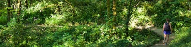
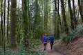
What will you find under the canopy of Forest Park? Dirt single tracks weave through verdant woodlands, passing Douglas firs and bigleaf maples bedecked with licorice ferns. Explore some of Forest Park’s charmingly ridges and ravines on this 3.5-mile loop with 510 feet of elevation change. Although Wild Cherry Trail and Alder Trail are the most notable members of this hike, this circuit actually comes together with the use of a few other trail: Leif Erikson Trail, Wildwood Trail, Keil Trail, and a sliver of Dogwood Trail. All of the junctions are well marked with obvious signs, so staying on course should be easy.
Want something shorter? Dogwood Trail runs up the middle of this loop and can be used to create two other loops: Wild Cherry Trail – Dogwood Trail Loop (2.5 miles) and Dogwood Trail – Alder Trail Loop (2.8 miles).
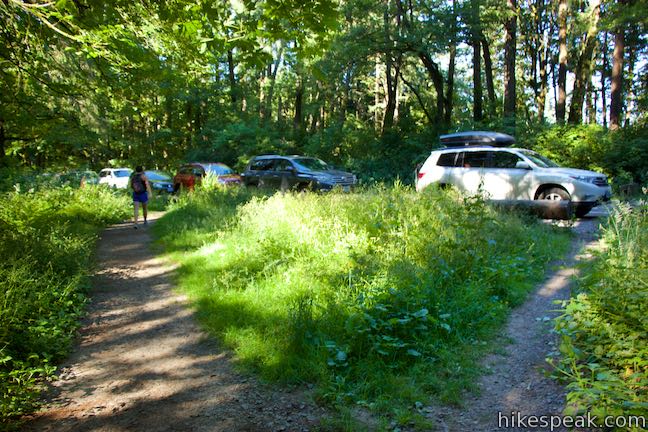
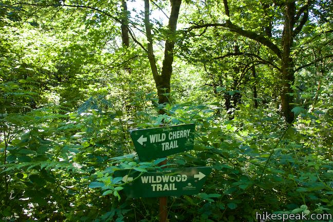
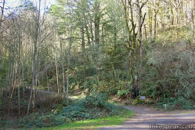
Wild Cherry Trail – Alder Trail Loop passes a couple trailheads along Northwest 53rd Drive. The direction here begin from the trailhead for Wild Cherry Trail, but the trailhead for Keil Trail and Wildwood Trail, which is 0.2 miles away, could be used as well (and create a slightly shorter hike).
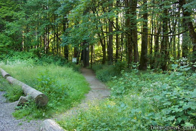
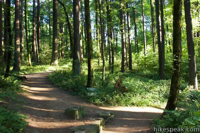
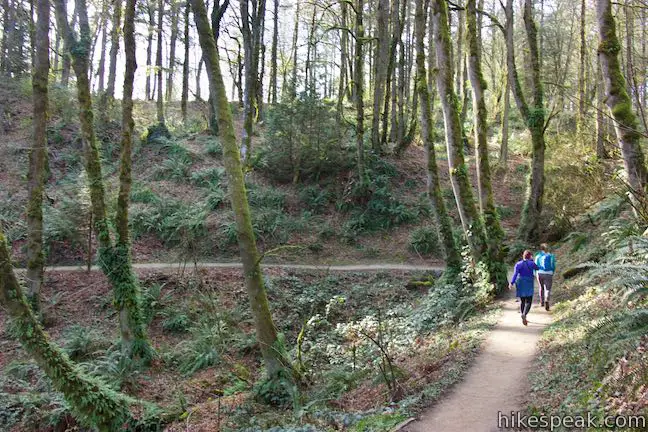
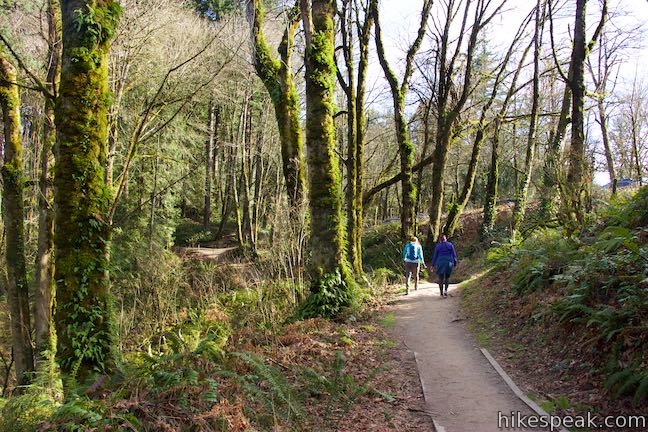
Set out from the roadside parking area along Northwest 53rd Drive, 0.9 miles from Cornell Road. Walk through a bit of grass to enter the forest. Very quickly, Wild Cherry Trail comes to a junction with Dogwood Trail where the loop gets underway. Unless you’re in a clockwise mood, stay to the right to continue strolling down Wild Cherry Trail.
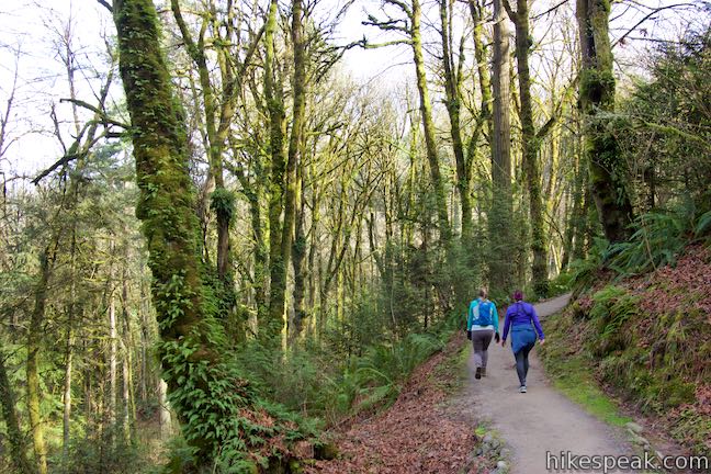
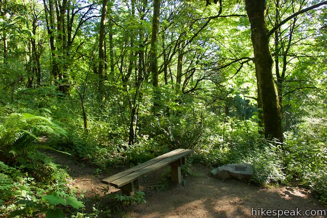
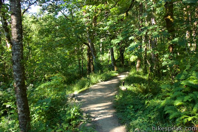
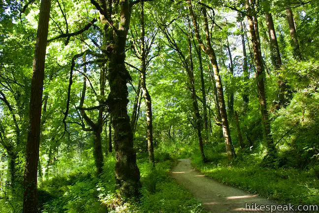
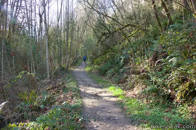
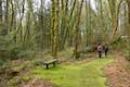
The dirt single-track goes steadily downhill through a forest of bigleaf maples, red alders, and large second-growth Douglas firs. A quarter mile from the start, swing around a bend that has a bench where you can take an early break.
Continue down switchbacks to a junction with Wildwood Trail, 1/3 of a mile from the trailhead (a different section of Wildwood Trail is used later in this loop). Wild Cherry Trail does not pass straight through Wildwood Trail. Instead, you need to make a right turn on Wildwood Trail, followed by an immediate left to reach the lower section of Wild Cherry Trail.
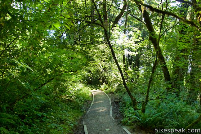
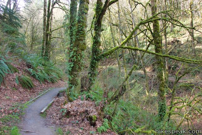
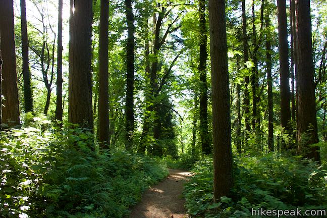
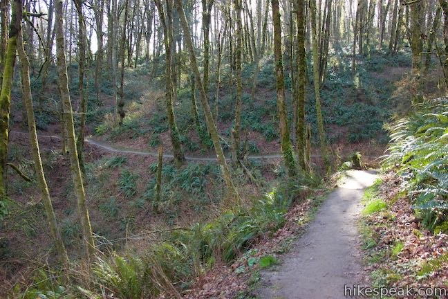
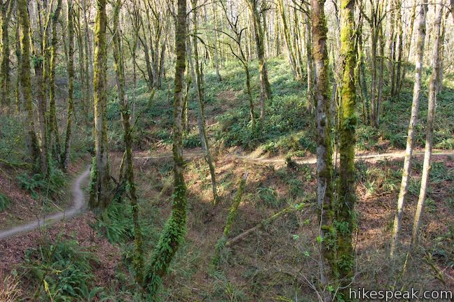
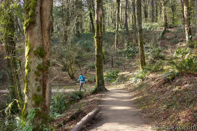
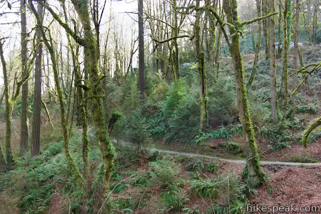
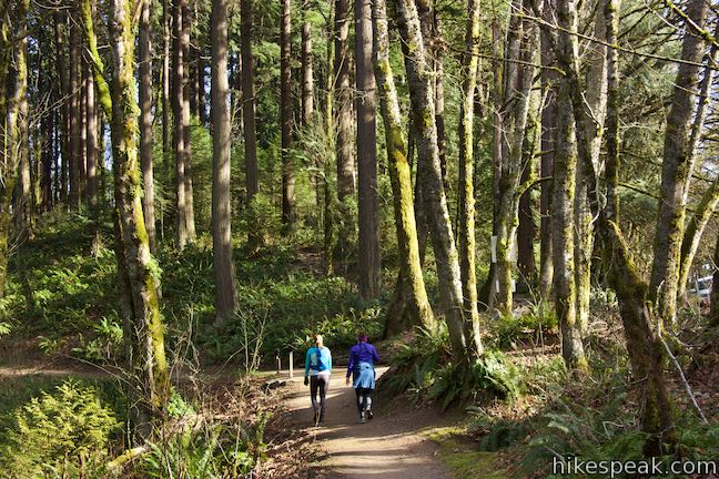
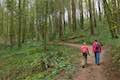
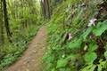
Make your way down more of Wild Cherry Trail, weaving across creases in the forest slope. Oregon grapes, impressive ferns, and plenty of native shrubs crowd the path beneath the fir trees.
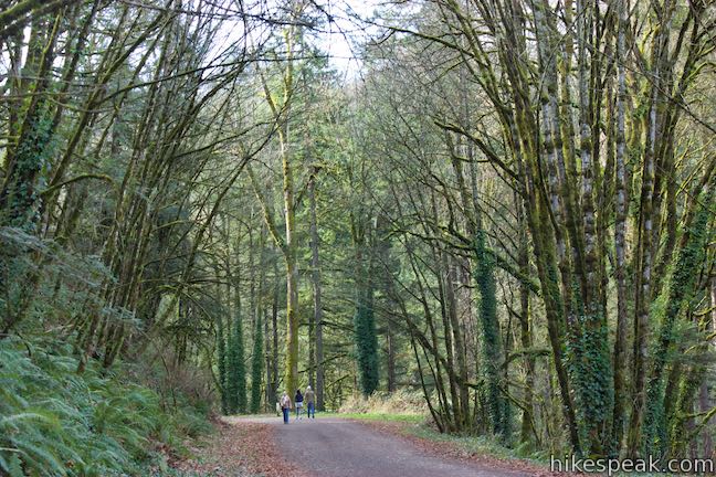
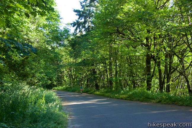
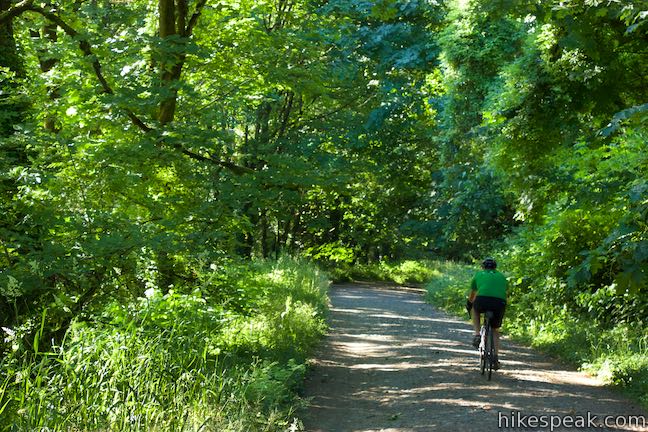
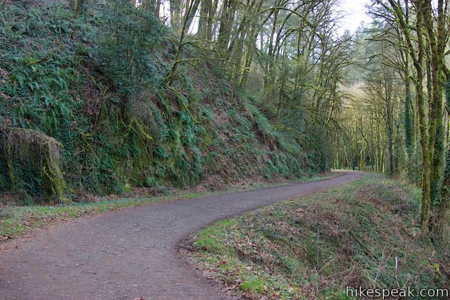
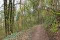
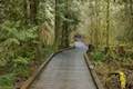
After 0.9 miles of hiking, come to the bottom of Wild Cherry Trail where it meets a paved stretch of Leif Erikson Drive. Turn left up Leif Erikson Drive. This road is closed to motor vehicles (but do watch out for zippy bikers). Leif Erikson Drive becomes unpaved after a quarter mile.
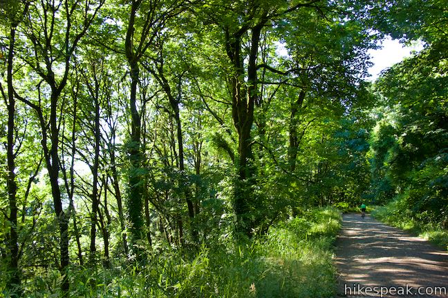
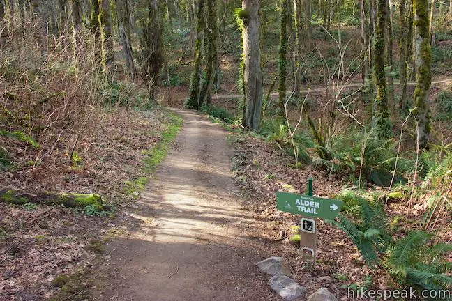
Look to your right for glimpses through the trees over Portland and the Willamette River. If you catch the right window, Mount Hood may be visible as well (especially after some leaves have fallen from the trees). Leif Erikson Drive shifts to a dirt and gravel surface while retaining its wide path. After 0.6 miles, Leif Erikson Drive goes around a bend and passes Dogwood Trail. Stick with Leif Erikson Drive for another 0.55 miles to get to Alder Trail. (Turn left for the shorter 2.5-mile Wild Cherry Trail – Dogwood Trail Loop.)
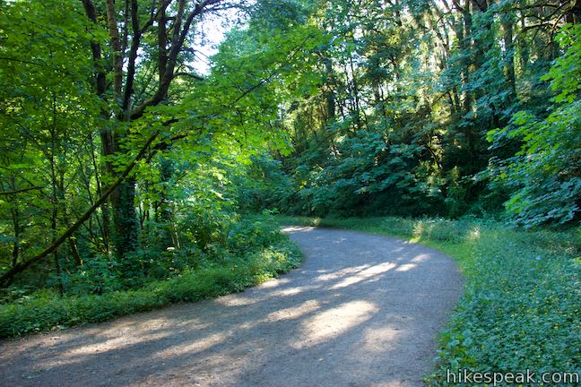
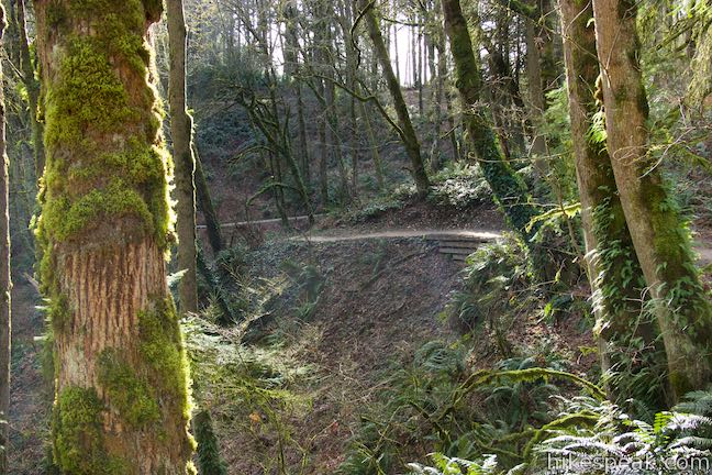
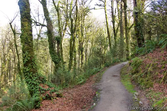
As you continue north on Leif Erikson Drive, notice the dark ledge of Columbia River basalt on the left, guarded by sworn ferns. Leif Erikson Drive curves around the back of a large draw in the terrain, crossing a branch of Alder Creek. You might expect to find Alder Trail here, but you will not. Instead, continue uphill as Leif Erikson Drive exits the draw, passing another basalt ledge.
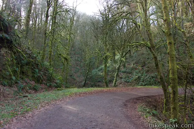
Come into the next crease in the terrain, where Alder Trail can be found, bordering a second branch of Alder Creek. The junction is marked with a plaque and trail signs. After 1.15 miles on Leif Erikson Drive, and 2.05 miles of hiking, turn left up Alder Trail.
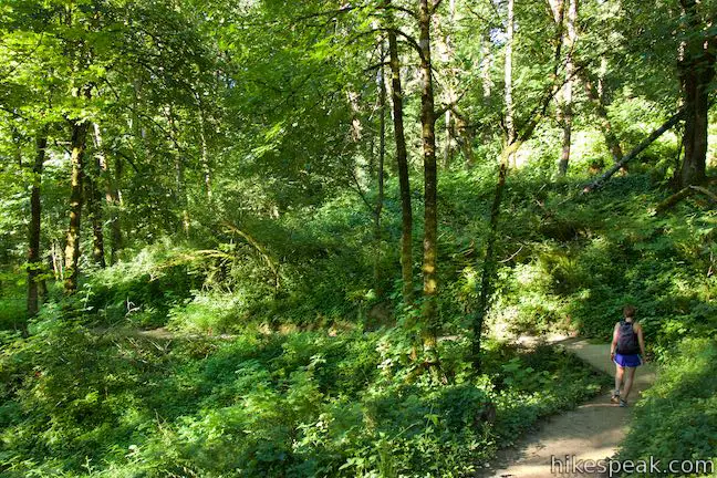
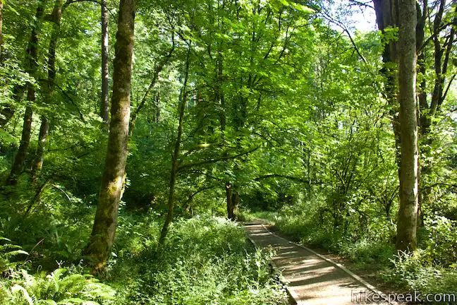
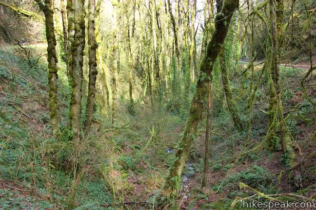
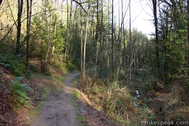
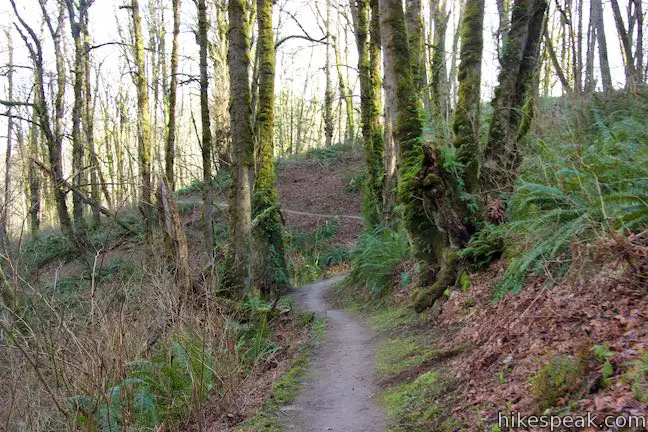
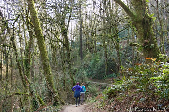
Hike uphill on Alder Trail beside a narrow, tumbling creek. Curve left across the creek after 1/8 of a mile. Alder Trail and Alder Creek are appropriately named because red alders are abundant. Splotchy lichens run up and down their stalky gray trunks. Bigleaf maples line the trail too, hosting mossy tapestries of licorice ferns.
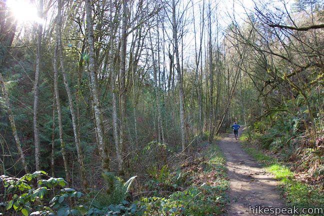
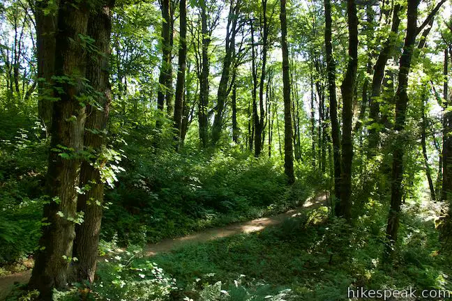
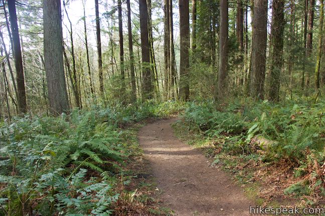
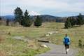
Alder Trail rises higher into the into the forest. The dirt single track crosses a tiny branch of Alder Creek as it continues its course up the wooded slope. Alder Trail appears to get less foot traffic than surrounding Forest Park trails, so take your time to enjoy the quiet natural setting.
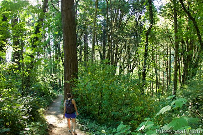
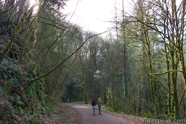
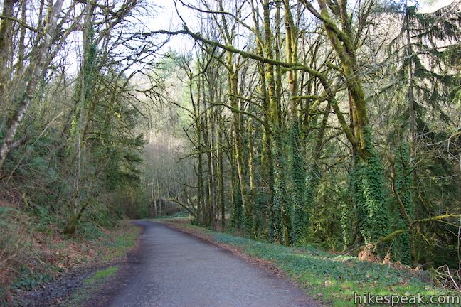
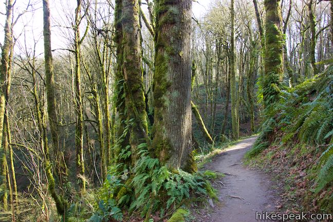
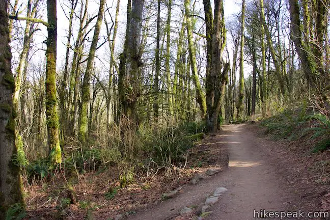
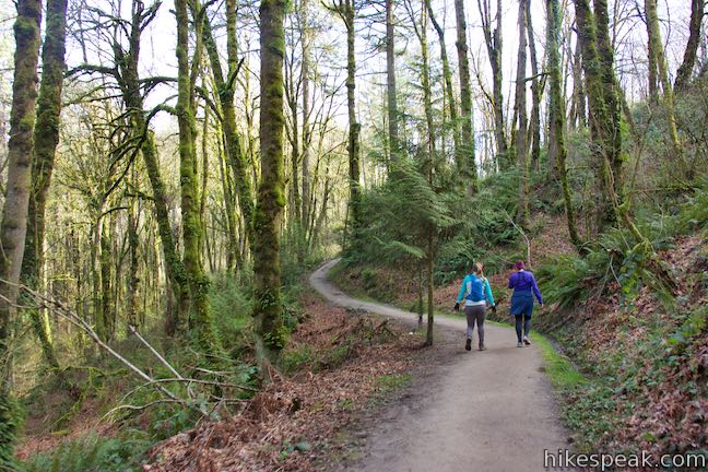
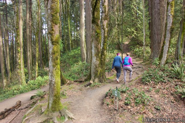
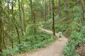
Alder Trail comes to an end after 0.85 miles, hitting a T-junction with Wildwood Trail. Turn left and follow Wildwood Trail on a fairly level path that weaves around dips and draws in the terrain. The short slopes above this trail allow extra sunlight to access the lovely forest along the trail.
After 0.3 miles on Wildwood Trail, come to junction with the bottom of Keil Trail, just below Northwest 53rd Drive. Vehicles parked along the road will be visible from the junction. Instead of walking back along the road or letting Wildwood Trail lead you down into the forest, angle right (between Wildwood Trail and the road) to make your way up Keil Trail. Because of the way the junction is laid out, you’ll make sort of a right-left to get onto Keil Trail. The signs should be clear.
Keil Trail ventures up a hill, leading into the forest at the high point of the loop. This trail is named after William Keil, who was a Forest Park forester in the 1950s. After a 0.2-mile ascent, come to a junction with Dogwood Trail, a tenth of a mile from the finish line. Bear right (to avoid following Dogwood Trail down to Leif Erikson Drive) and take the short end of Dogwood Trail over to Wild Cherry Trail. This completes the loop. Bear right again to return to the trailhead along Northwest 53rd Drive.
The basic directions for Wild Cherry Trail – Dogwood Trail Loop are:
- Begin down Wild Cherry Trail from NW 53rd Drive (0 miles)
- Stay to the right through a junction with Dogwood Trail where the loop begins (0.05 miles)
- Cross Wildwood Trail by making a right turn and an immediate left turn to continue down Wild Cherry Trail (0.33 miles)
- At the bottom of Wild Cherry Trail, turn left up Leif Erikson Drive (0.9 miles)
- Continue on Leif Erikson Drive past the bottom of Dogwood Trail (1.5 miles)
- Turn left up Alder Trail (2.05 miles)
- At the top of Alder Trail, turn left onto Wildwood Trail (2.9 miles)
- Come to a junction with Keil Trail just below NW 53rd Drive and leave Wildwood Trail to angle to the right up Keil Trail (3.2 miles)
- Meet Dogwood Trail at the top of Keil Trail and turn right(3.4 miles)
- Quickly reach Wild Cherry Trail and turn right(3.45 miles)
- Return to NW 53rd Drive (3.5 miles)
Combine Wild Cherry Trail, Leif Erikson Trail, Alder Trail, Wildwood Trail, Keil Trail, and Dogwood Trail to make your way around this 3.5-mile circuit. Dogs are welcome on this hike, but bikes are not allowed on any trails other than Leif Erikson Drive. No fee or permit is required to hike Wild Cherry Trail – Alder Trail Loop in Forest Park, so get out and enjoy!
To get to the trailhead: From Interstate 405 in downtown Portland, take exit 3 to head west on Route 30. Drive about half a mile to the first exit for Vaughn Street. The offramp passes over the top of Route 30 and merges with Vaughn Street. Drive a couple blocks west and turn left onto NW 25th Avenue. Drive half a mile south and turn right onto NW Lovejoy Street. In 400 feet, bear right onto Cornell Road. Drive 1.9 miles up Cornell Road and turn right up NW 53rd Drive. Go 0.9 miles up this road and park in one of the spaces on the right in front of the trailhead. A log fence borders the roadside parking. The trailhead is just before a curve to the left in the road and comes after the parking for Birch Trail and before the parking for Keil Trail and Wildwood Trail.
Trailhead address: Dogwood Trailhead, Northwest 53rd Drive, Portland, OR 97210
Trailhead coordinates: 45.53826, -122.73406 (45° 32′ 17.7″N 122° 44′ 02.6″W)
Wild Cherry Trail - Alder Trail Loop is colored in red, brown, and pink (Dogwood Trail is in orange).
View Forest Park in a larger map
Or view a regional map of surrounding Oregon trails and campgrounds.


 | Dogwood Trail - Alder Trail Loop This 2.8-mile hike uses 5 trails (Keil Trail, Dogwood Trail, Leif Erikson Drive, Alder Trail, and Wildwood Trail) to form a lovely woodland loop in Forest Park. |
 | Wild Cherry Trail – Dogwood Trail Loop This 2.5-mile Forest Park hike plots a nice, short, woodland escape by easing down Wild Cherry Trail to Leif Erikson Drive and rising back up Dogwood Trail. |
 | Holman Lane – Wildwood Trail – Birch Trail Loop This 2.7-mile loop combines three trails in Forest Park for a refreshing woodland walk. |
 | Lower Macleay Trail to Stone House This 1.8 to 2-mile hike starts by following Balch Creek to fern-covered ruins and can finish with a loop that exits Forest Park and passes through the Willamette Heights Neighborhood in Northwest Portland. |
 | Lower Macleay Park to Pittock Mansion This 5.4-mile hike in Forest Park takes Lower Macleay Trail to the Stone House ruins and ascends Wildwood Trail to Pittock Mansion, bagging a big view over Portland. |
 | Cornell Road to Pittock Mansion This 2.5-mile hike on Wildwood Trail and Upper Macleay Trail in Forest Park goes up a wooded hillside to Pittock Mansion, a landmark with panoramic views over Portland. |
 | Marquam Nature Park Hike through peaceful forest in a pocket of Portland's West Hills on a 1.3, 3, or 4.25-mile loop. |
 | George Himes Trail This short lollipop loop ascends into Portland's West Hills for a woodland walk with a view of Mount Hood. |
 | Trillium Trail in Tryon Creek State Natural Area This short nature trail is packed with plant-identifying panels as well as benches and viewing platforms. |
 | Two-Mile Loop in Tryon Creek State Natural Area Combine Old Main Trail, Red Fox Trail, Cedar Trail, Middle Creek Trail, and Maple Ridge Trail to loop through rolling woodland and across 3 bridges. |
 | Tualatin Hills Nature Park This 2.1-mile hike on Vine Maple Trail, Old Wagon Trail, and Oak Trail loops through forests and wetlands in a pocket of wilderness on the west side of Beaverton. |
 | Powell Butte This 2.15-mile lollipop loop combines Mountain View Trail and Summit Lane to explore the top of Powell Butte and its big views from Southeast Portland. |
 | Trails in Oregon Explore more hikes in Oregon outside Greater Portland. |
Go the extra miles...
Submit a rating of this hike to go with your comment. Contribute to the average trail rating.