Trillium Lake Trail
in Mount Hood National Forest
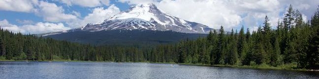
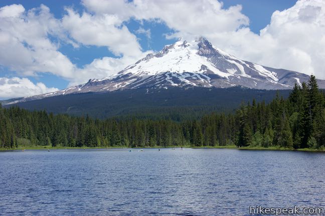
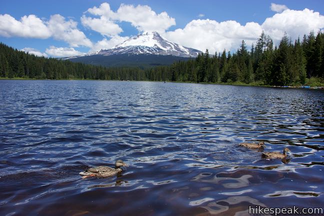
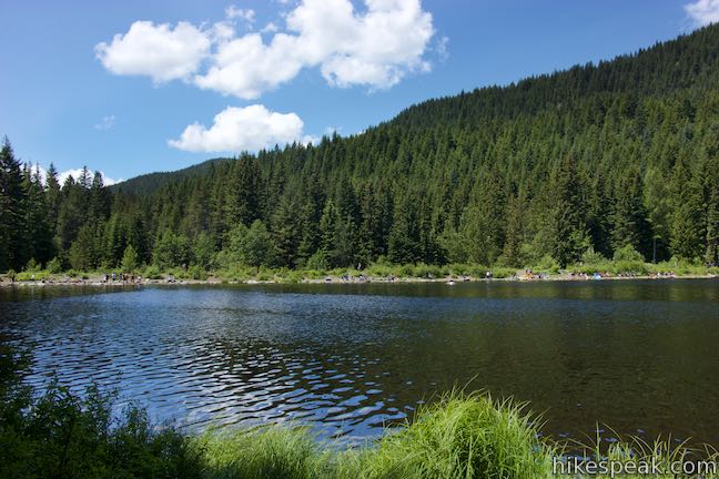
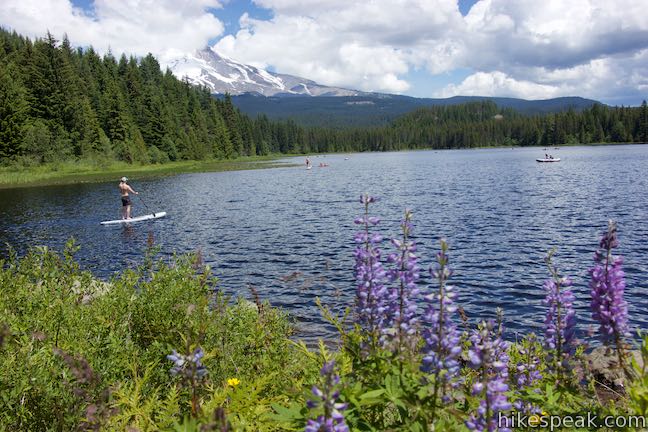
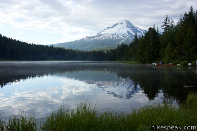
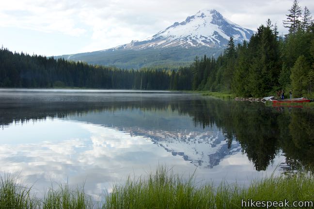
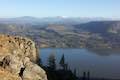
With monumental Mount Hood rising above its northern shore, Trillium Lake is a picturesque and popular destination for camping, hiking, and fun on the water. The summit of Mount Hood is just 7.5 miles from Trillium Lake and the famed Timberline Lodge can be spotted on its slopes. Hike an easy 2-mile loop around this scenic 63-acre lake in Mount Hood National Forest near Government Camp, Oregon.
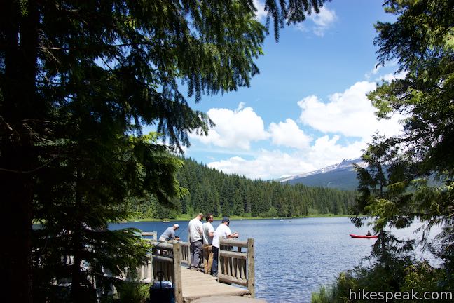
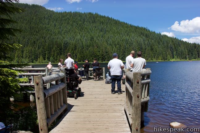
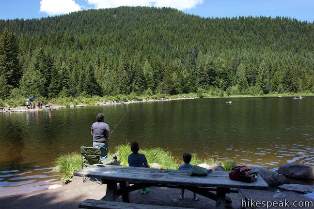
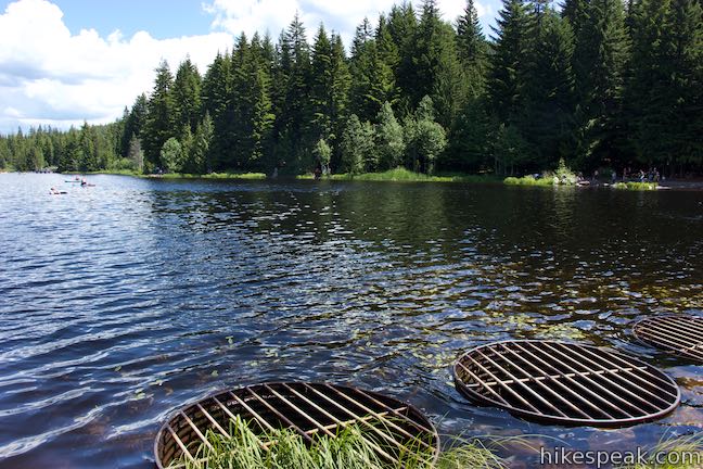
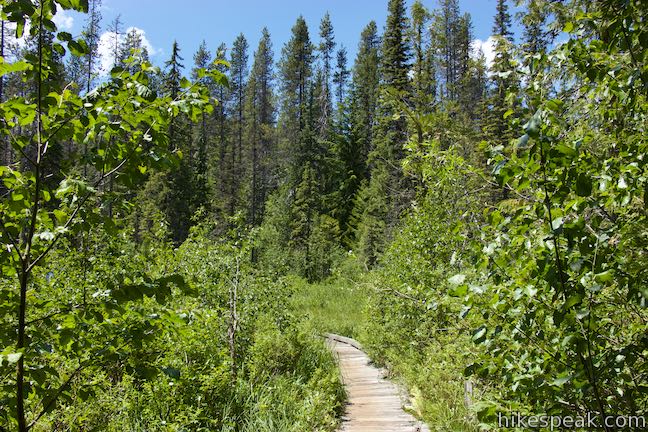
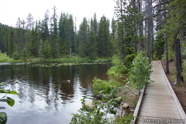
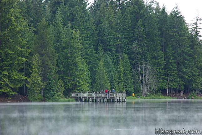
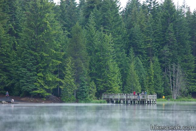
This level trail tours lake’s edge woodlands, using boardwalks to navigate a few marshy areas. Trillium Lake Trail crosses a campground, dam, boat launch, and fishing pier. The pier is one of many excellent places to pause and gaze at Mount Hood, which looks absolutely splendid above the lake’s blue waters.
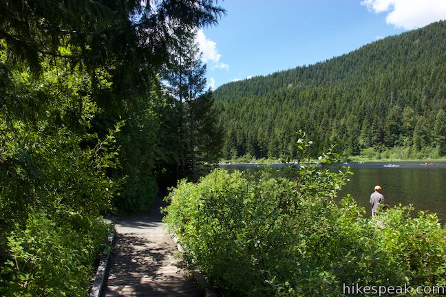
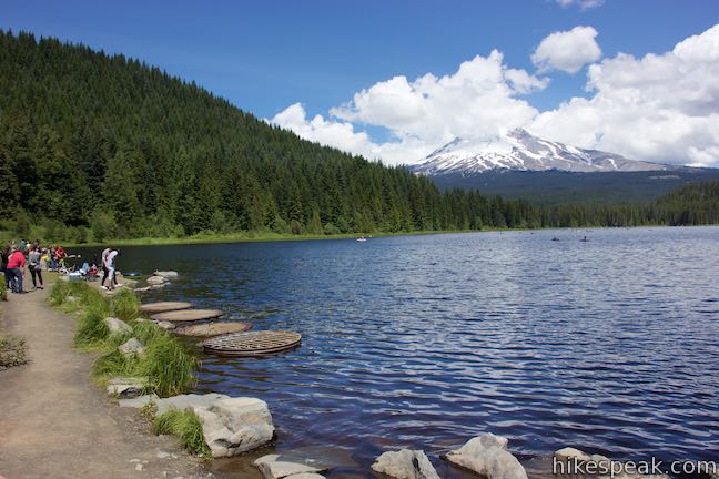
Some of the greatest views of Mount Hood come right by the trailhead, if you begin the loop from Trillium Lake Day Use Area. Those staying at Trillium Lake Campground actually need to walk around the lake to the day use area to get a clear view of Mount Hood over the lake. The directions provided here start from the boat launch in the day use area and travel in a clockwise direction. Since it is a loop, Trillium Lake Trail can be picked up from multiple points and be taken in either direction.
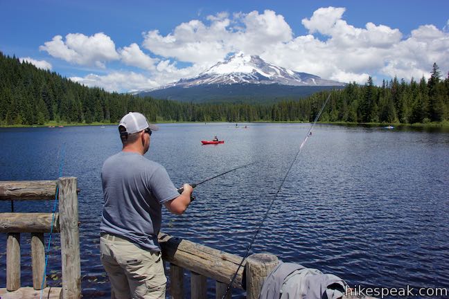
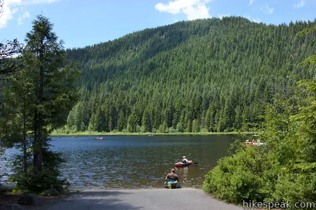
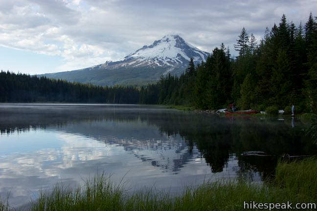
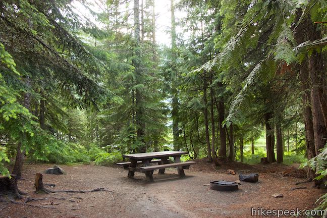
The day use area is on the south side of Trillium Lake and has numerous picnic sites. Facing the boat launch, you’ll find the trail going in two directions. The campground is to the right and Trillium Lake Dam is to the left. Start out by heading to the left (west) on a paved trail beside a sign reading. “Trillium Lake Trail No. 761.” The surface of Trillium Lake Trail is a combination of pavement, hard-packed gravel, dirt, and boardwalks. The loop’s first highlight is visible immediately. Arrive at the fishing pier after less than fifty yards of effort. Walk out on the pier and enjoy a splendid perspective of Mount Hood above Trillium Lake.
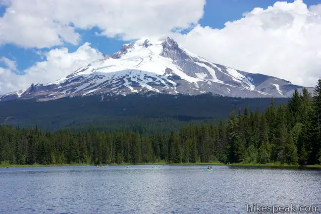
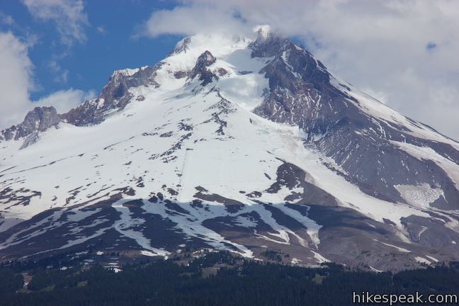
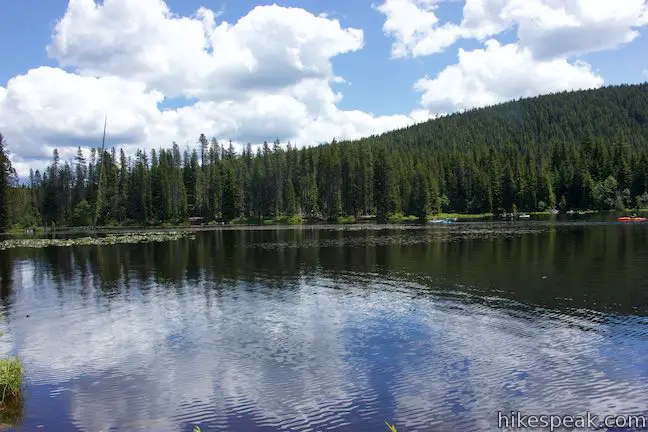
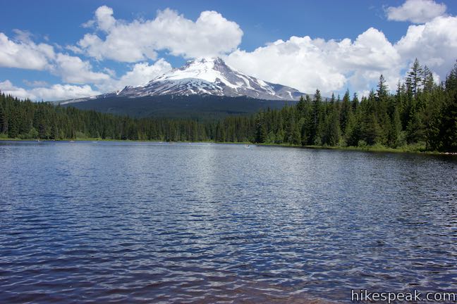
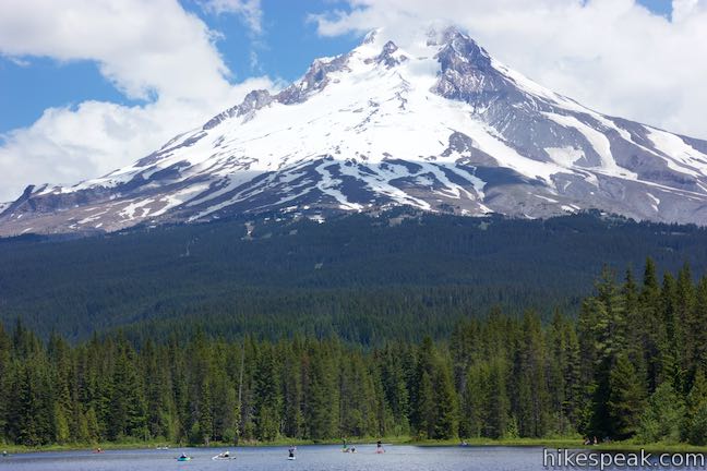
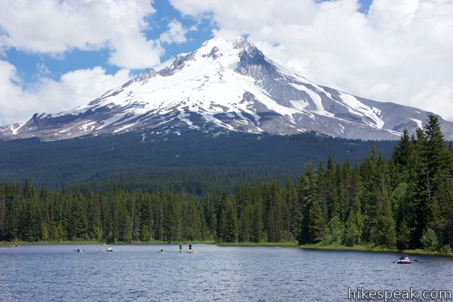
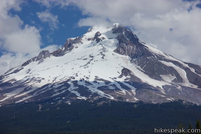
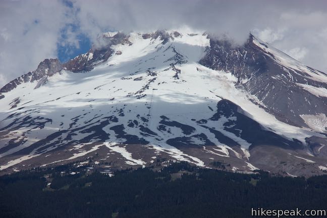
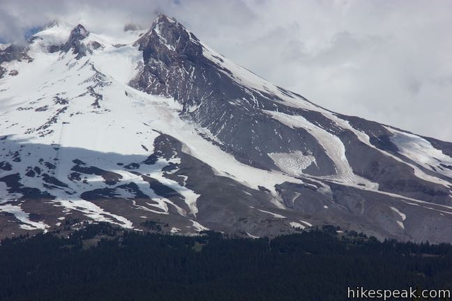
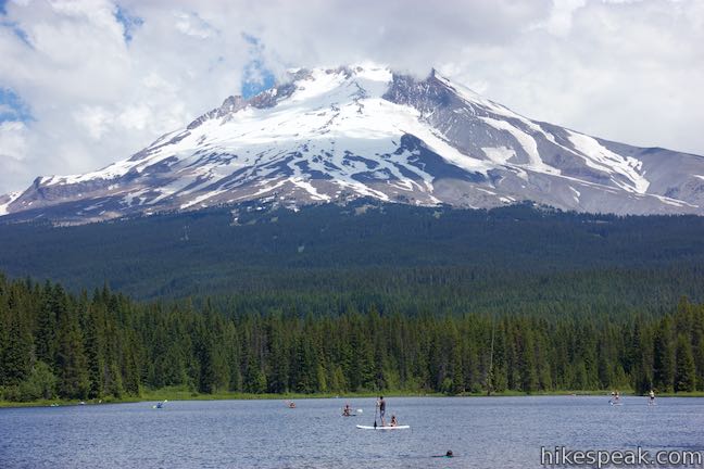
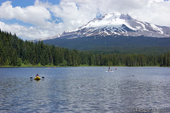
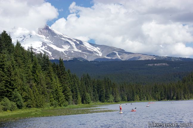
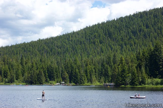
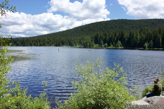
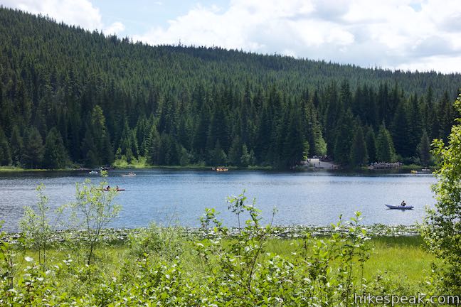
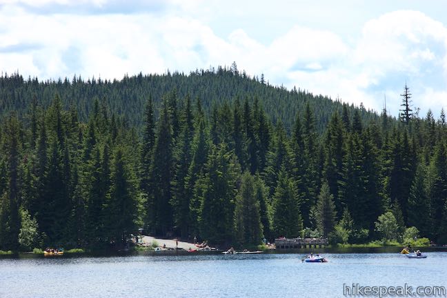
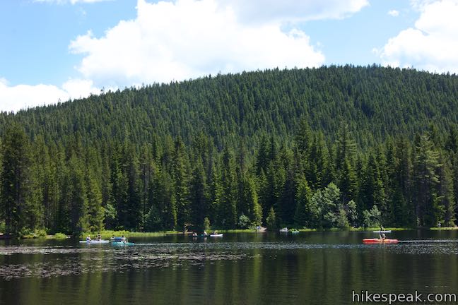
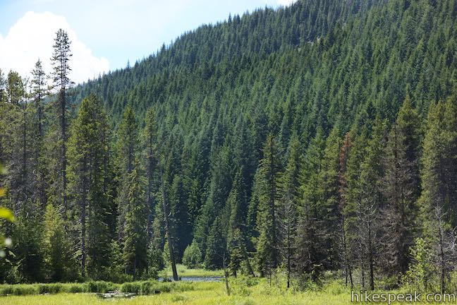
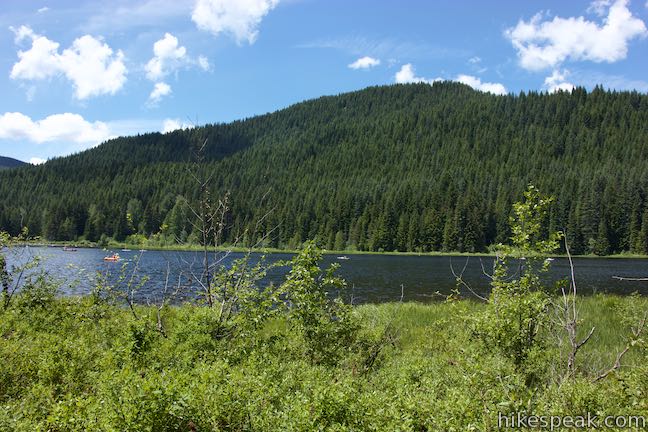
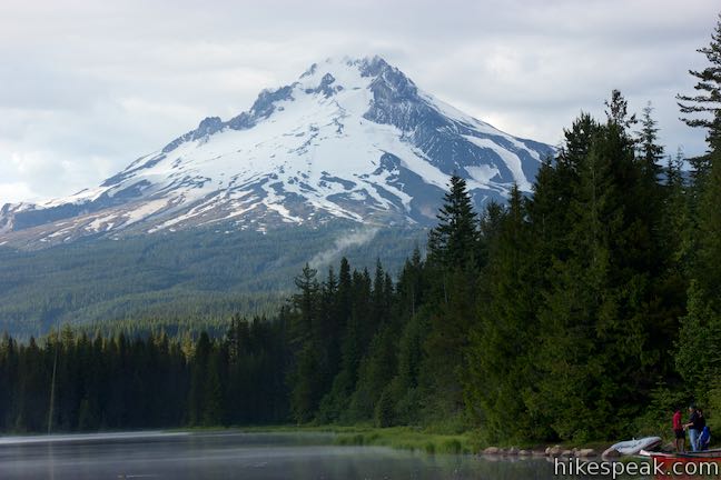
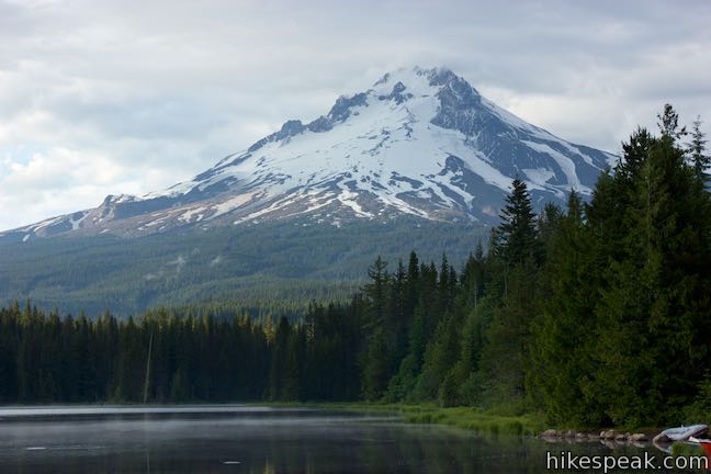
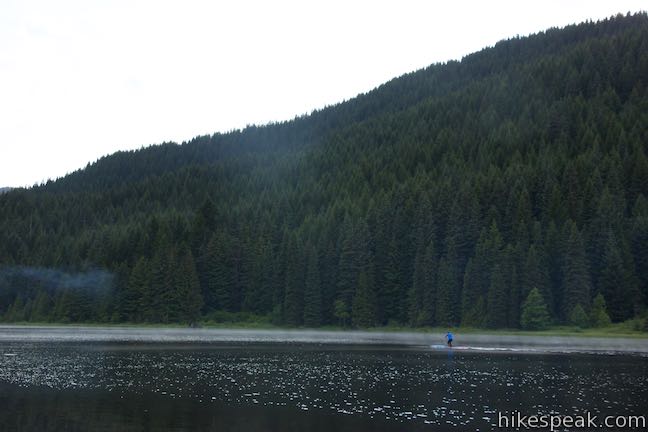
Trillium Lake coves a little less than a tenth of a square mile. On warm summer days, the dark blue waters are awash with paddleboards, tubes, canoes, kayaks, and small fishing boats (motor boats prohibited). Conifers neighbor the north shore of the lake and stretch all the way to the treeline on Mount Hood. Timberline Lodge is perched just above the treeline, about 4.5 miles away and 2,350 feet above Trillium Lake. Mount Hood rises over 5,000 feet from there. The great mountains spreads out broadly to the east and west at the treeline, narrowing as it climbs to a snowy crown at 11,249 feet. Trace your eyes up one of the jagged ridges leading to the summit, where you will be looking at the highest point in Oregon.
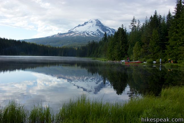
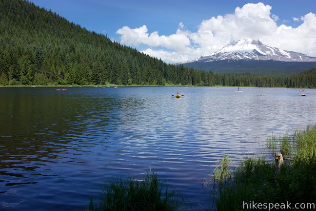
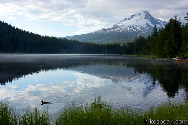
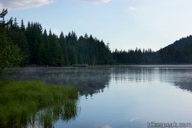
When the winds are calm, usually around dawn or dusk, the waters of Trillium Lake flatten to hold a gorgeous reflection of Mount Hood, much like nearby Mirror Lake.
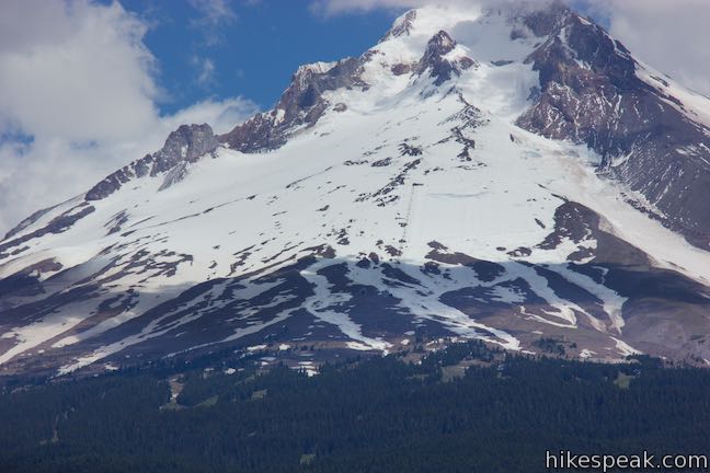
The fishing pier may have the best views of the whole loop, but it’s way to early to just turn around! Return to Trillium Lake Trail and hike southwest along the lake. The dirt trail stays close to the shoreline, offering several spots to admire Mount Hood. With a sharp eye, you’ll see chair lifts running up the snowy mountainside above Timberline Lodge.
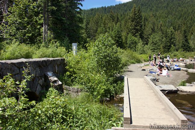
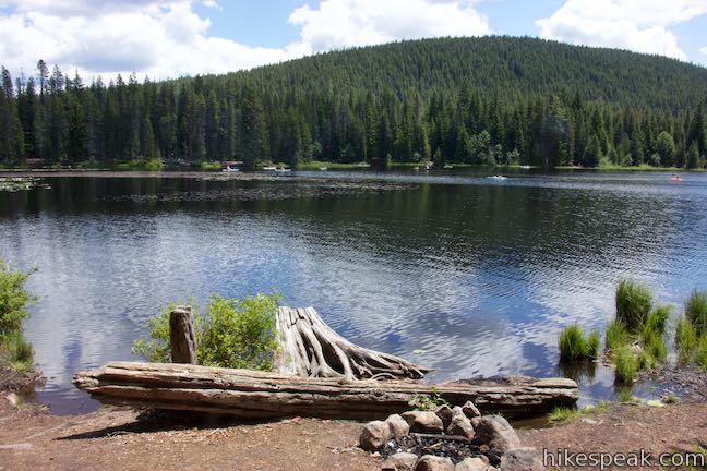
Trillium Lake is actually a reservoir. The Oregon Department of Fish and Wildlife built a dam across Mud Creek in the 1960s and flooded a boggy area to form the lake. The northeast side of the lake remains quite marshy. Reach the south end of the dam, a quarter mile from the trailhead. Cross a footbridge where Mud Creek flows out of the lake. A road runs across the top of the dam. Stay to the right of the road and walk along a gravel and boulder beach in the southwest corner of the lake. This is a popular spot to swim and it’s also a popular area to fish. Trillium Lake is stocked with rainbow trout.
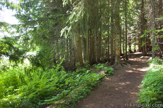
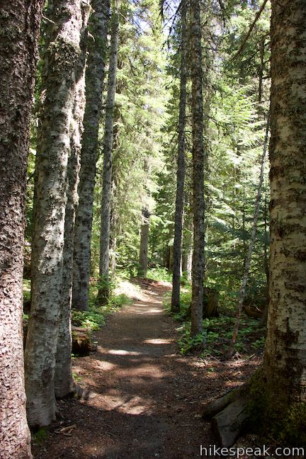
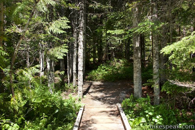
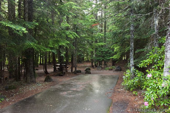
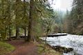
Make your way along the man-made shoreline and find the trail slipping back into the forest (to the right of the road). Over the next 0.4 miles, Trillium Lake Trail goes deeper into the forest and you will lose sight of the water at times. This side of the trail receives the fewest visitors, so enjoy a peaceful woodland stroll beneath firs, cedar, spruce, and hemlock. Columbine and cow parsnip bloom in meadows along the trail. If you miss the lake too much, you can take one of the paths off the right side of the trail and find a spot for yourself along the water’s edge.
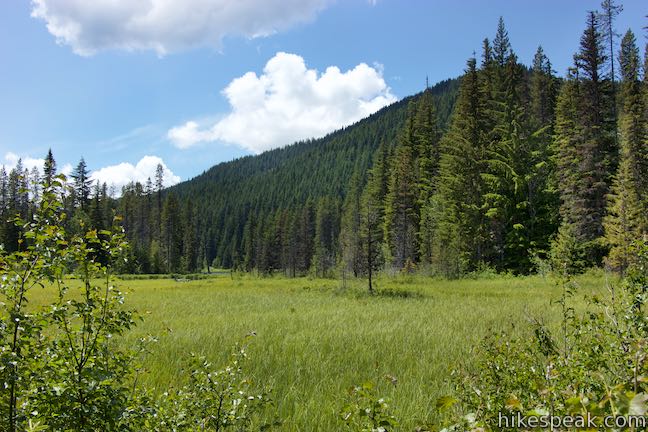
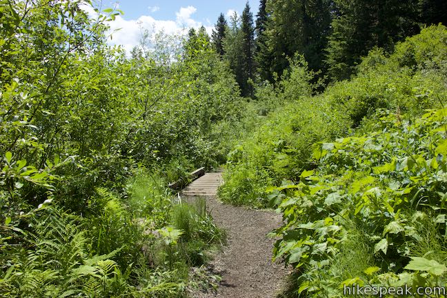
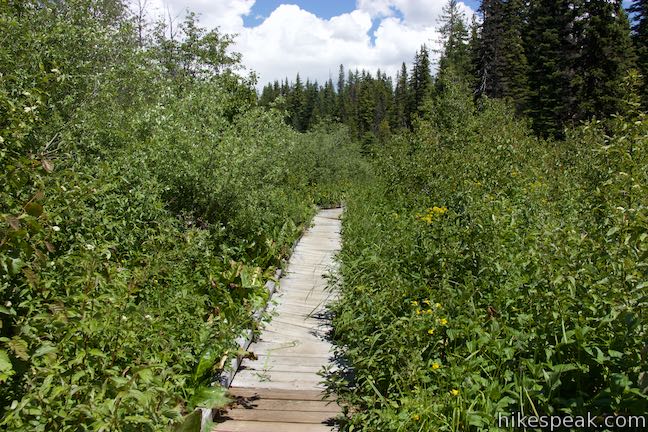
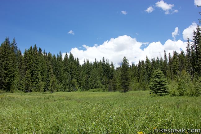
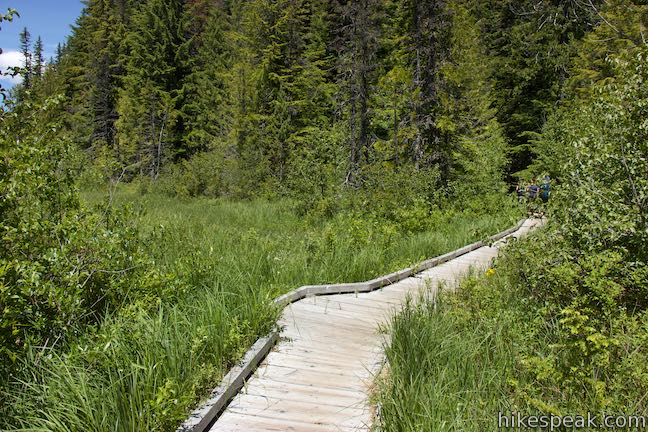
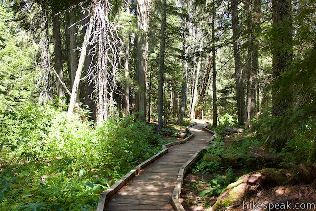
The forest gives way to willows and alders as you approach a wetlands area, about 0.8 miles from the start of the hike. A wooden boardwalk crosses through the marshy grasses. Mount Hood can be seen above the treetops at the meadow’s edge. As you cross the boardwalk, you could imagine that this is what the whole area looked before Trillium Lake was dammed.
Note: As of 2019, about a tenth of a mile of Trillium Lake Trail is closed due to the poor condition of the boardwalk. Some people continue to hike the full loop. Proceed with caution if you do so and observe signs along the trail.
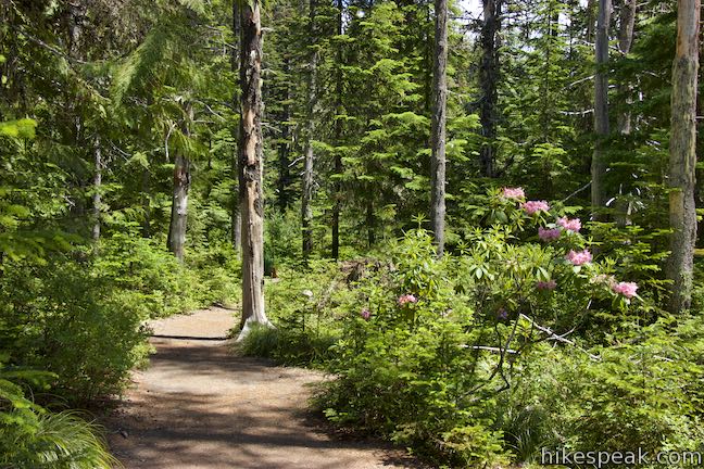
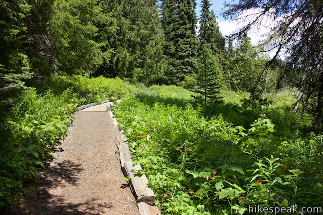
Across the boardwalk, the trail returns to the forest. And what a lovely area of forest it is, with rhododendrons blooming in the summer and ample sunlight beaming through the treetops.
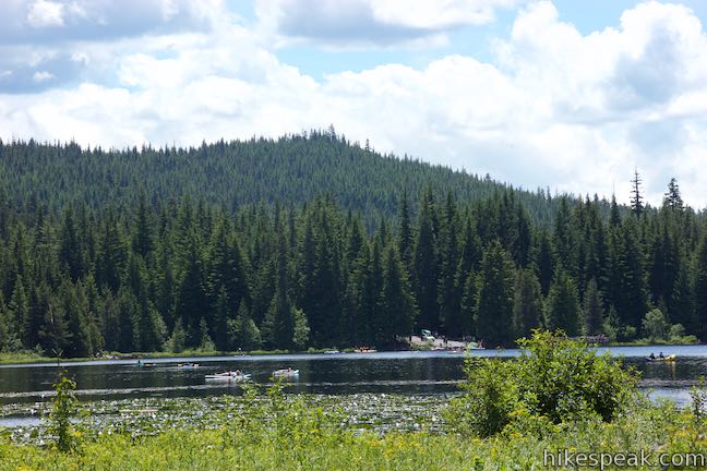
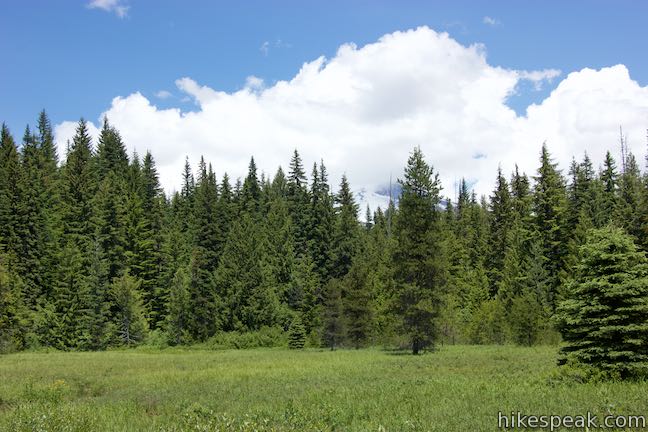
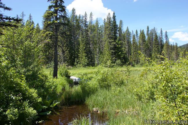
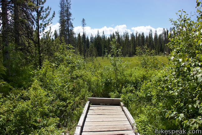
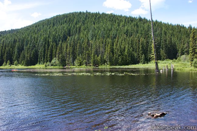
At 0.3 miles from the wetlands boardwalk and 1.2 miles from the start of the hike, come to the first of two trail junctions in quick succession. The first junction is unmarked. Trillium Lake Trail continues to the left and a short spur trail to the right follows a boardwalk a short distance into a grassy opening by Trillium Lake to visit a viewpoint. Hike this way first and take in the perspective of the pool-filled meadow (Trillium Lake is barely in view).
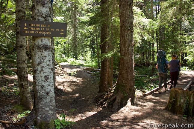
Return to the trail split after a 100-yard round trip adventure on the spur to the viewpoint. Turn right and continue on Trillium Lake Trail. Hit the next junction in another hundred yards, which is marked with a sign. Trillium Bike Trail ventures to the left toward Trillium Lake Loop Road (Forest Road 2656) and the Trillium Access Hill and Trillium Sno-Park. This trail provides additional access to Trillium Lake (and the opportunity to hike a lollipop loop). Trillium Bike Trail can also be used on a bike trek to Trillium Lake from Government Camp. Turn right at the junction, following signs for the campground, to stay on Trillium Lake Trail.
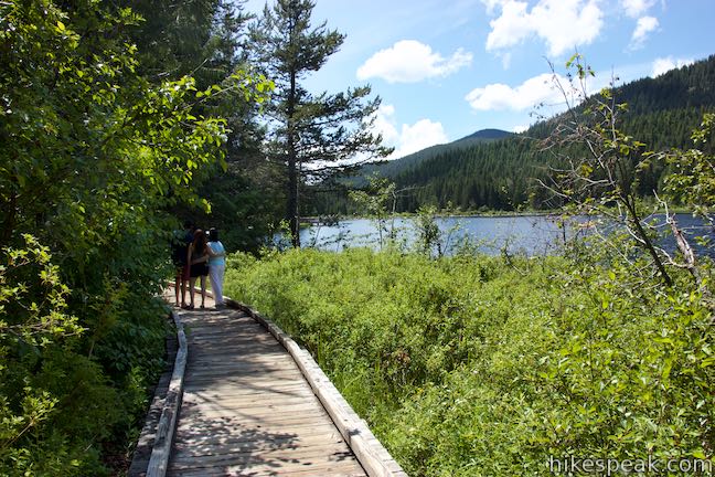
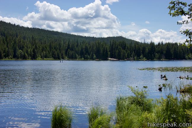
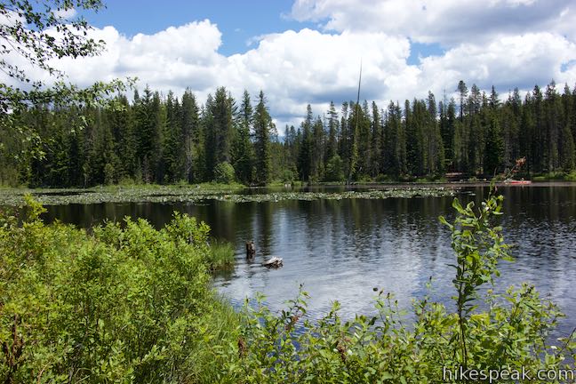
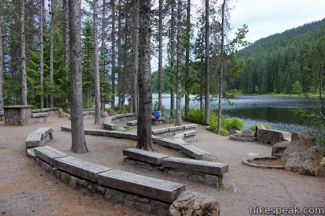
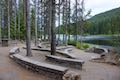
Find the shore of Trillium Lake again after another third of a mile. The trail passes a water lily-covered inlet of the lake that is fed by the wetlands that you were looking at from the overlook a moment ago. The trail passes an amphitheater as you round a point on the edge of the lake. Paths on the left venture in toward some of the 57 sites at Trillium Lake Campground (also simply called Trillium Campground). Hike south along the lakeshore. A row or two of trees separate stretches of the trail from the water, while boardwalks span wetter sections that often have open lake views.
Come to a road at the south end of the campground. To the right, the road drops into the lake. This is not the boat launch where the loop began. Instead, it is a separate, nearby boat launch for the campground. To get back to the day use area and complete the loop, cross the road and walk a short distance to the left to find the final section of Trillium Lake Trail.
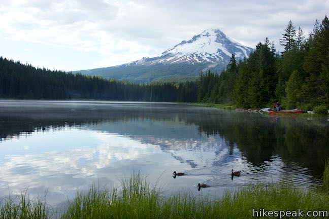
Hike 0.15 miles around a cove and back to the day use area. Ducks meander along the edge of the cove’s calm waters. The loop closes out with excellent views of Mount Hood. Including the short spur to the viewpoint, Trillium Lake Trail is 2.05 miles round trip with an easy 15 feet of elevation change.
The basic directions for Trillium Lake Loop are:
- Hike west from Trillium Lake Day Use Area (0 miles)
- Pass the fishing pier (0.03 miles)
- Cross the south end of Trillium Lake Dam (0.25 miles)
- Return to the forest at the north end of the dam (0.4 miles)
- Cross the wetlands boardwalk (0.8 to 0.9 miles)
- Turn right toward the viewpoint (1.2 miles)
- Look over the wetlands and turn around (1.23 miles)
- Turn right to proceed on Trillium Lake Trail (1.25 miles)
- Turn right to stay on Trillium Lake Trail at a junction with Trillium Bike Trail (1.3 miles)
- At the campground boat launch, cross the road and go a short distance to the left to find the rest of the trail (1.9 miles)
- Return to Trillium Lake Day Use Area (2.05 miles)
Bikes and leashed dogs are welcome on Trillium Lake Trail. Trillium Lake Day Use Area is operated by a concession, which means that the fees are a bit different than other areas of Mount Hood National Forest. A $5 day use fee is charged to park at the trail. A Northwest Forest Pass can be used in place of the day use fee. Unfortunately, public lands passes like the “America the Beautiful” and “Golden Age” passes (that work in most national parks, monuments, and forests) are not accepted at the Trillium Lake Day Use Area. During the winter season from November 1 through April 30, the Northwest Forest Pass isn’t an acceptable pass either, and an Oregon Sno-Park Permit is needed to visit Trillium Lake to snowshoe or ski.
To get to the trailhead: From the west, take Highway 26 to Sandy. Drive another 30 miles up Highway 26 (Mount Hood Highway) to the east side of Government Camp. Make a right turn on to Trillium Lake Loop Road (Forest Road 2656). The exit is located on the south side of the highway, 1.5 miles after the road up to Timberline Lodge. Drive 1 3/4 miles down Trillium Lake Loop Road and turn right into the entrance of Trillium Lake Day Use Area, which comes just after the entrance to Trillium Lake Campground. Head toward the lake and find parking. The trail starts at the boat launch.
From the east, drive to the merger of Route 35 and Highway 26. Take Highway 26 west toward Government Camp. Make the first left, after 3/4 of a mile, onto Trillium Lake Loop Road (Forest Road 2656), following signs for Trillium Lake. Drive 1 3/4 miles down Trillium Lake Loop Road and turn right into the entrance of Trillium Lake Day Use Area, which comes just after the entrance to Trillium Lake Campground. Head toward the lake and find parking. The trail starts at the boat launch.
You may also drive past the day use area and park by Trillium Lake Dam to start the hike from there.
Trailhead address: Trillium Lake Day Use Area, Trillium Lake Road, Government Camp, OR 97028
Trailhead coordinates: 45.2682, -121.7387 (45° 16′ 05.5″N 121° 44′ 19.3″W)
View Trillium Lake Trail in a larger map
Or view a regional map of surrounding Oregon trails and campgrounds.


Trillium Lake Campground


 | Mirror Lake Trail This 4.3-mile lollipop loop hike crosses forest streams and ascends to a small lake reflecting big views of Mount Hood. |
 | Old Salmon River Trail This hike of up to 5.1 miles explores a lush and lovely old-growth forest along the Salmon River in Mount Hood National Forest. |
 | Angel's Rest This 4.8-mile hike ascends to a panoramic landing with spectacular views across Columbia River Gorge (particularly at sunrise). |
 | Pipeline Trail This easy and enticing 2.8-mile hike along Hood River crosses a catwalk atop a penstock flume pipeline. |
 | Mosier Twin Tunnels This 2 to 9.5-mile hike ventures up Historic Columbia River Highway State Trail to a pair of tunnels carved into basalt cliffs on the side of Columbia River Gorge. |
 | Eagle Creek Trail This 4.55-mile hike ventures up a beautiful and dramatic canyon to impressive waterfalls like Metlako Falls, Lower Punchbowl Falls, and Punchbowl Falls. |
 | Wahclella Falls This 2-mile hike visits a sublime waterfall in a canyon within the Columbia River Gorge. |
 | Multnomah Falls This 0.4 to 2.6-mile hike visits Oregon's tallest (and probably most visited) waterfall, offering something to hikers of all abilities. |
 | More trails in Oregon Explore other hikes in the Columbia River Gorge and different regions of Oregon. |
 | Trillium Lake Campground Located just miles from Government Camp, this campground has 57 sites sitting in the evergreens by Trillium Lake below Mount Hood. |
Trillium Lake Trail on oregonhikers.org
Trillium Lake Trail on hikingproject.com
Trillium Lake Trail on nwhiker.com
Trillium Lake Trail on hikeoregon.net
Trillium Lake Trail on alltrails.com
Trillium Lake Trail on hikeitbaby.com
Trillium Lake on wikipedia.org
The official Mount Hood National Forest webpage for Trillium Lake Trail
The official Mount Hood National Forest map and description (pdf) for Trillium Lake Trail
Really beautiful place. Looking forward to visiting them after lockdown.