Rankin Ridge Nature Trail
in Wind Cave National Park
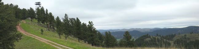
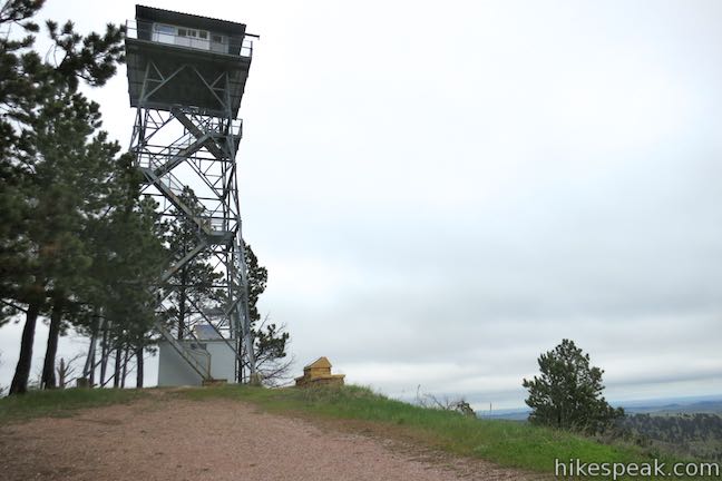
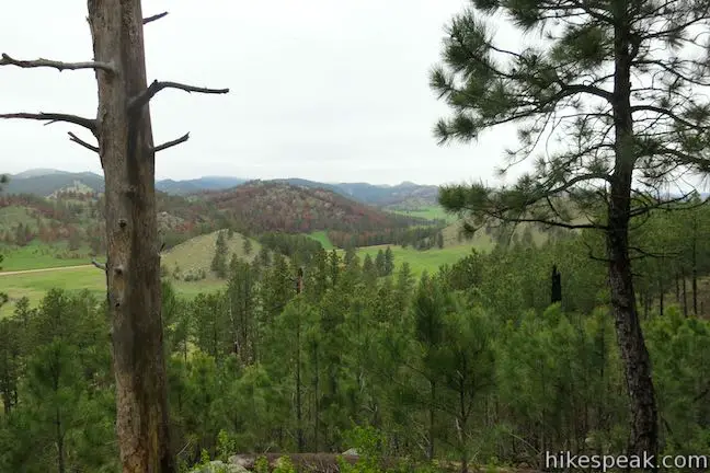
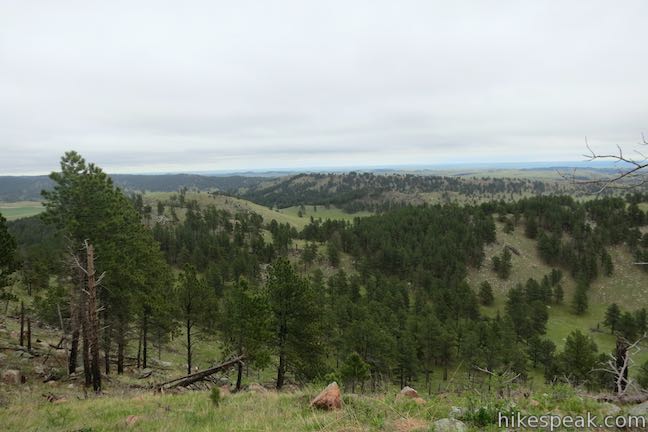
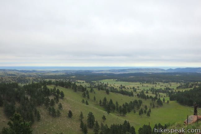
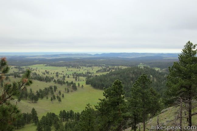
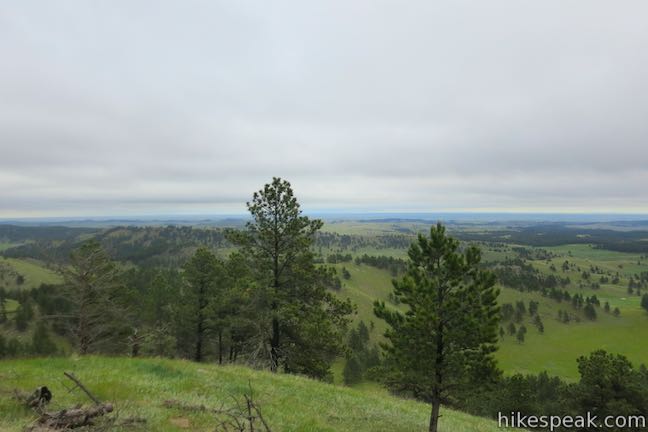
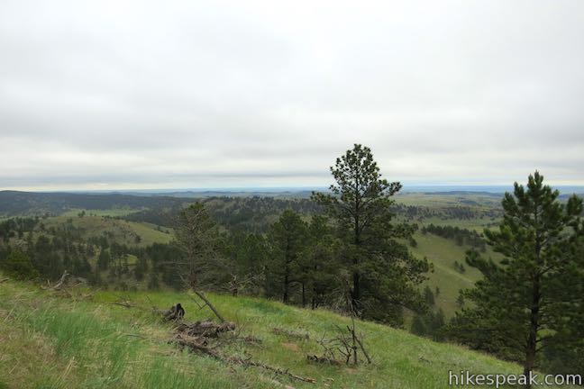
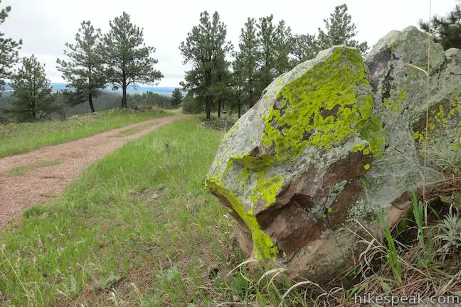
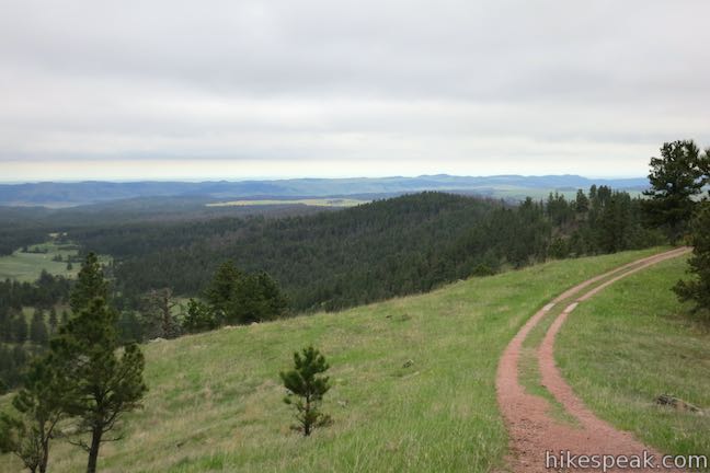
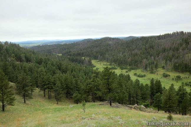
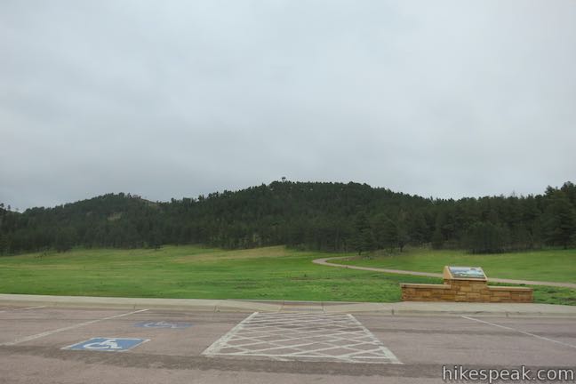
Rankin Ridge forms part of the southeast edge of the Black Hills and at 5,013 feet in elevation, it is the highest point in Wind Cave National Park. A lookout tower rises above the ridge top, which can be reached via a 250-foot ascent on a 0.55-mile long single track. Take a wide dirt trail back down the ridge to form a one-mile loop. Although this hike is short, it is not short on rewards. Rankin Ridge has large open views of the Black Hills and adjacent prairies.
There are 14 interpretive sites along the trail. If you are hiking with young one, be sure to take along a nature trail brochure to learn about the area’s habitats and the impact of wildfires. As with any trail in the Black Hills, be on the look out for rattlesnakes and bison. Provide any wildlife you encounter with ample room to ensure everyone’s safety.
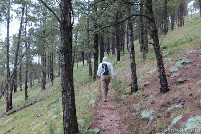
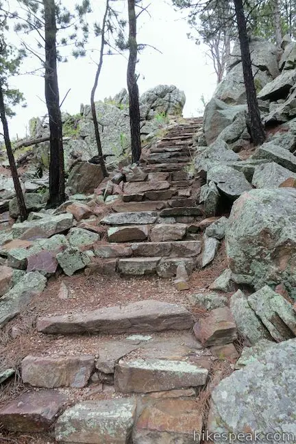
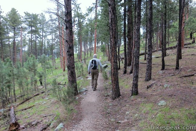
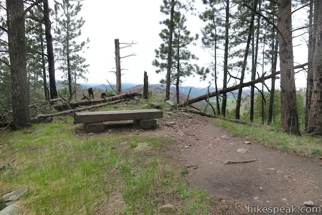
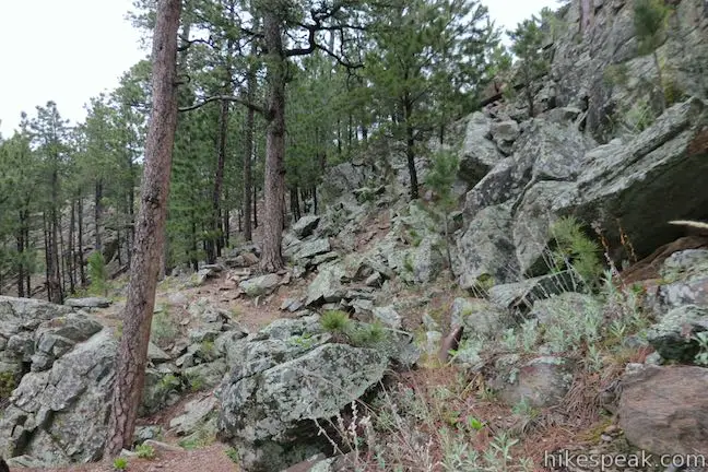
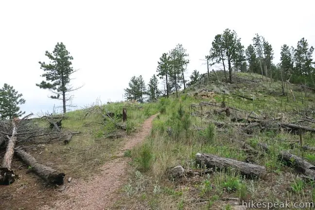
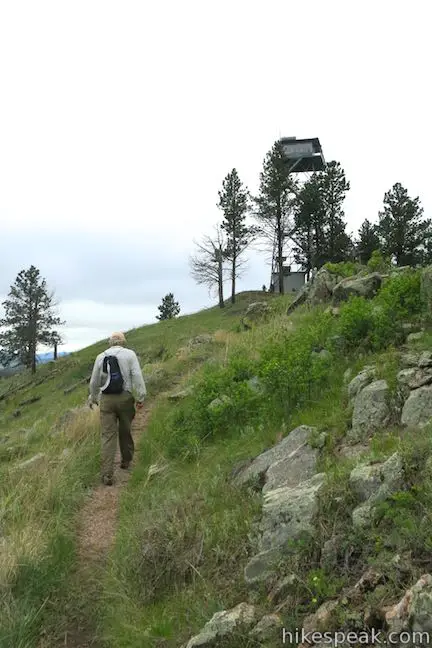
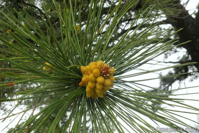
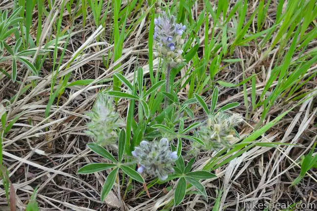
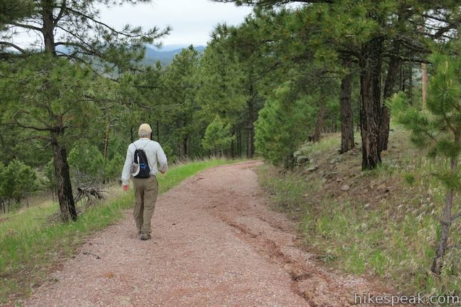
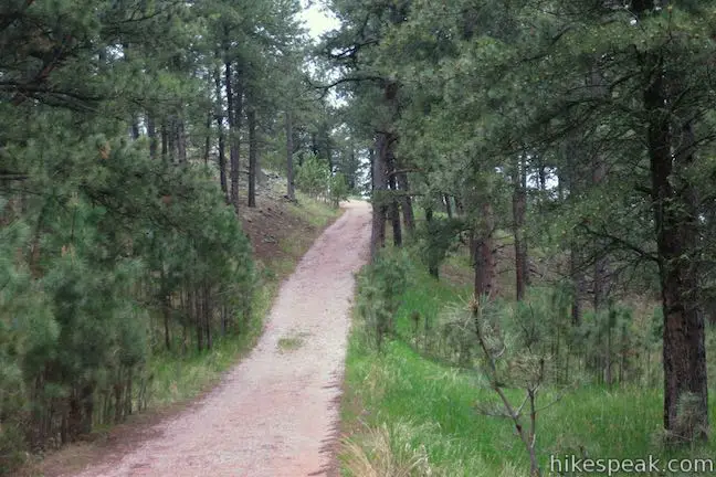
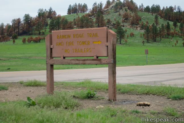
From the parking lot, the narrow trail begins to the left of a gate at the bottom of a dirt road (that will be your return route). Head up the single track, which climbs gradually through a ponderosa pine forest with a ground cover of grasses, saplings, berries, shooting star wildflowers, and poison ivy. After just a tenth of a mile, come to a bench that offers a peaceful rest break with obstructed views over the valley below. Continue up the trail, which steepens after another 0.2 miles, and becomes rocky as it approaches the top of the ridge. Farther up, the trail actually becomes a stone staircase.
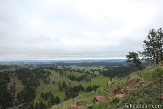
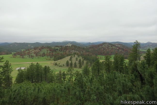
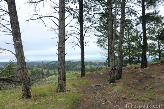
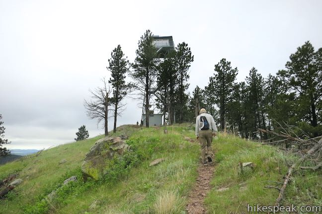
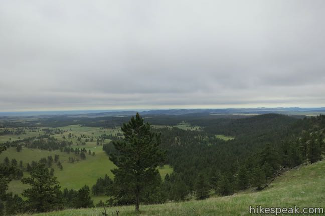
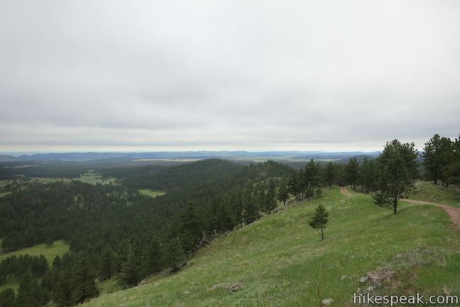
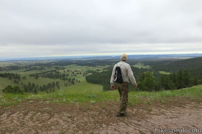
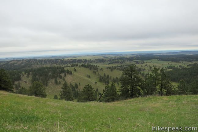
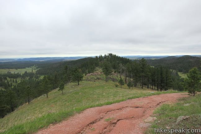
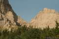
Once atop the staircase, the trail curves right and continues to ascend along the spine of ridge. Enjoy sweeping views to the east and south from the sparsely covered ridge, which has many snags, or standing dead trees. These dead trees mark the destruction of a 1994 wildfire but play essential roles in the forest, creating homes for insects like longhorned beetles and nesting birds like chickadees. On clear days, you can look out over prairie landscapes below the Black Hills. Test if you can see Badlands National Park to the east, 40 miles away. Buffalo Gap is easier to spot to the southeast. It is the only break in the foothills and serves as a convenient passage for migrating bison.
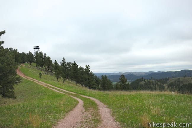
Rankin Ridge Fire Tower is just 0.55 miles from the trailhead and typically unmanned. However, the tower may still be used during periods of extreme fire danger. The tower is no longer open to the public, but even without climbing the 72 steps to the lookout, hikers get ample views from the ridge.
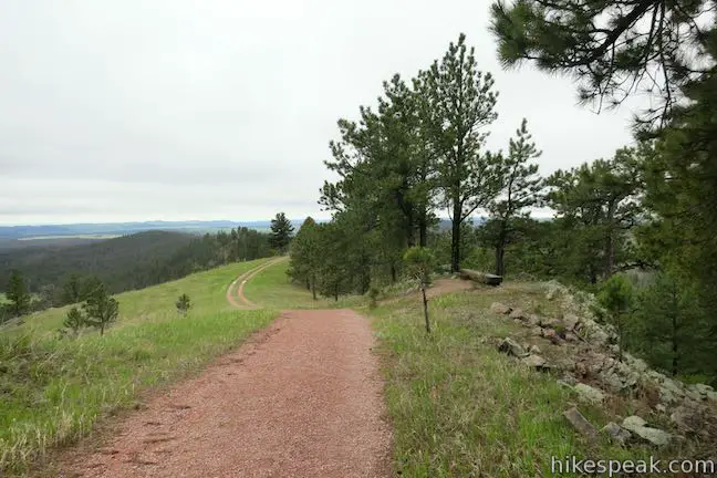
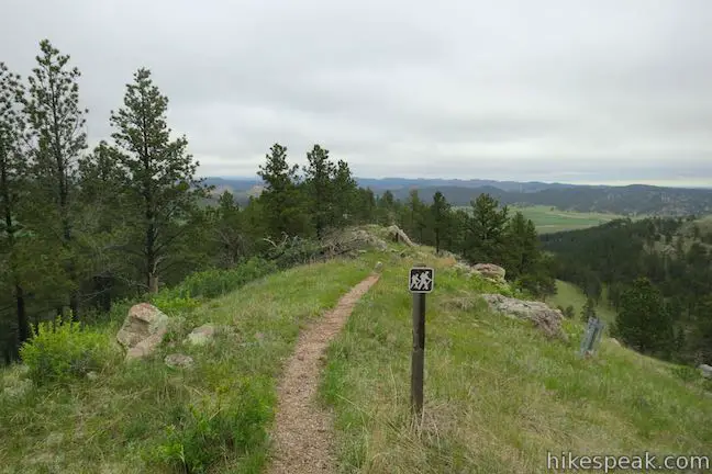
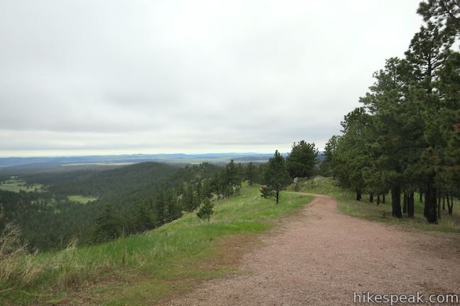
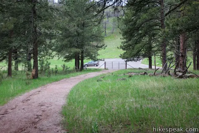
At the fire tower, the single-track trail crests and turns into a dirt road. Proceed on this wider trail heading south along the ridge. Just past the tower, another bench is placed at an ideal spot for looking out over the tranquil environment. Once you have finished enjoying the sweeping landscape, continue down the wide dirt road back to the parking lot. This 0.35-mile descent is relatively direct, taking just a few curves to come down off the ridge and return to the start. Within no time you will be back to your car and off to your next adventure.
Wind Cave National Park is free to visitors and only charges for guided cave tours. Dogs and bikes are not allowed on Rankin Ridge Trail. No permit is required to hike to Rankin Ridge Fire Tower, so get out and enjoy!
To get to the trailhead: From the city of Custer, take Route 16A east for 6.5 miles and turn south on Route 87. Drive 12.7 miles to an access road leading to the trailhead. The turnoff is on the left (east) side of the road a tenth of a mile south of Route 391 (Rankin Ridge Road) and 5.3 miles north of Route 385. Take the paved access road for 0.3 miles to a parking area at the start of the hike. Vehicles with trailers can park in a paved turnout at a scenic viewpoint along Route 87 next to the intersection with the access road.
Trailhead address: South Dakota 87, Custer, SD 57730
Trailhead coordinates: 43.6228, -103.4859 (43° 37′ 22.07″N 103° 29′ 09.24″W)
You may also view a regional map of surrounding South Dakota trails and campgrounds.


 | Crazy Horse Volskmarch This roughly 5-mile hike (designed as a 10-kilometer feat) ventures up onto the Crazy Horse Memorial for up-close views of the massive carving and is only open to the public a few days a year. |
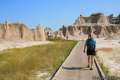
 | Door Trail This one-mile hike passes through a gap in Badlands Wall to a viewing platform followed by a cross-country path into the rugged badlands. |
 | Window Trail This level 0.25-mile round trip hike leads to an opening in Badlands Wall overlooking the rugged landscape beyond. |
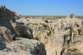 | Notch Trail This adventurous 1 1/3-mile hike travels up a badlands canyon to an elevated overlook with views over the Great Plains. |
 | Cliff Shelf Nature Trail This half-mile hike loops through a juniper forest on the south side of the Badlands Wall, reaching a viewpoint below the notch. |
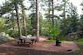 | Bismarck Lake Campground This 23-site lakefront campground is conveniently located in Black Hills National Forest near the city of Custer and the area's outdoor attractions. |
Rankin Ridge Nature Trail on nps.gov
A brochure for Rankin Ridge Nature Trail (courtesy of the National Park Service)
Rankin Ridge Nature Trail in Exploring the Black Hills and Badlands by Hiram Rogers
Rankin Ridge Nature Trail on astheyare.net
Rankin Ridge Nature Trail on alltrails.com
Rankin Ridge Nature Trail on howtoenjoytheblackhills.com
Go the extra miles...
Submit a rating of this hike to go with your comment. Contribute to the average trail rating.