The General Grant Tree Trail is the busiest hike in the Grant Grove Area of Kings Canyon National Park, but most visitors probably don’t know that the popular paved loop can be used to reach North Boundary Trail, a narrow dirt trail that sees little foot traffic. Cross through the Grant Grove to reach a 2.75-mile loop on North Boundary Trail and North Boundary Cutoff Trail that circles a pine forest that borders the famous sequoia grove. To explore the North Boundary Trail Loop and the Grant Grove, you will hike 3.55 miles round trip with 375 feet of elevation gain.
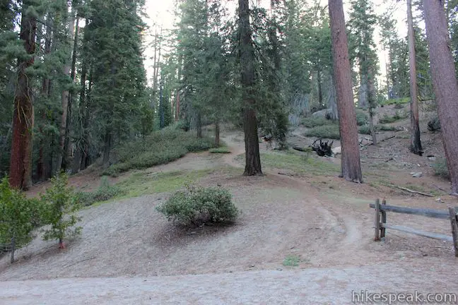
The easiest way to reach North Boundary Trail is to start from the Grant Grove Parking Area and hike around General Grant Tree Trail to the Gamlin Cabin where there is a short connector trail to the North Boundary Trail. If you would like to switch it up a bit and hike on more dirt trails instead, start from the east side of the Grant Grove Parking Area next to the Happy Family cluster of sequoias and set out along the trail to Grant Village.
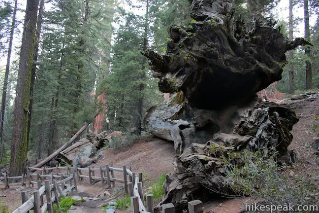
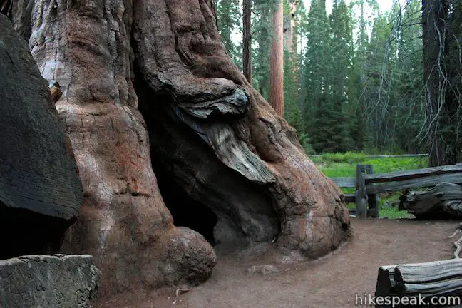
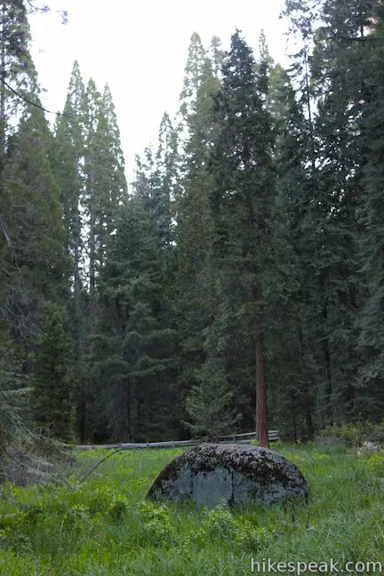
A short distance up this wide dirt trail, you will pass a tree on the left with a hole burned through it. The young and young at heart can crawl through the tree for a view of a small green meadow to the north that is lined by giant sequoias. A tenth of a mile from the parking lot, you will come to a trail junction alongside the Michigan Tree. Prior to 1931, this tree was known as the Spring Tree because of a water source that originated beneath the tree. The spring proved to be too much of a good thing and what made the tree unique also lead to its downfall. The spring softened the ground, likely rotting the trees roots, causing the tree to fall.
Turn left at the junction just past the Michigan Tree, leaving the trail to Grant Village to hike north toward the General Grant Tree. The wide dirt trail crosses over a rise in the forest. At the top of the rise, you will spot a path on the right heading uphill. This path actually connects to North Boundary Trail and can be used as a shortcut if you would like to avoid hiking past the General Grant Tree (more on that later).
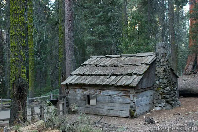
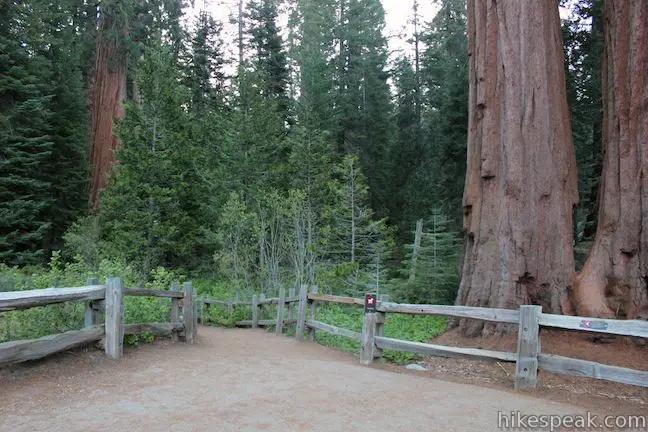
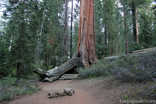
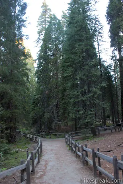
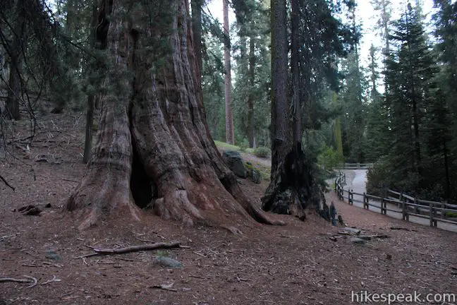
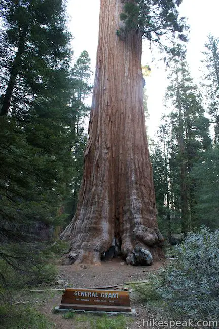
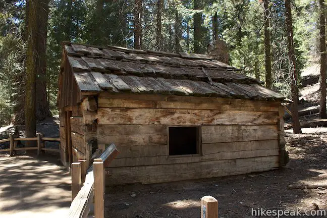
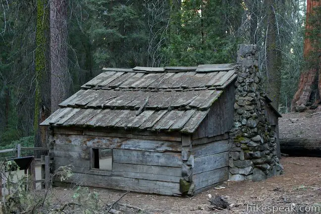
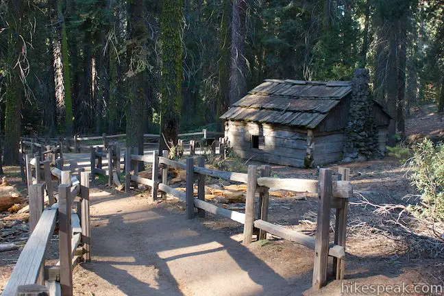
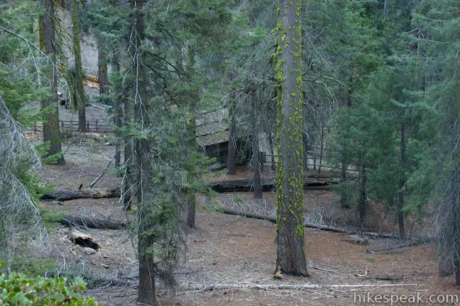
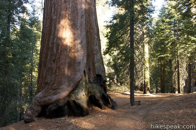
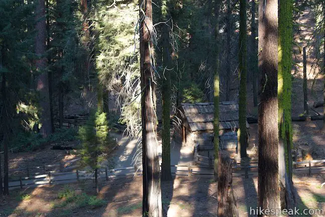
You will meet pavement as you descend the other side of the rise and come to another junction. Turn right, passing the Tennessee Tree to continue north to the General Grant Tree. Pause to admire the world’s third largest tree before continuing north to the Gamlin Cabin where there is a third trail junction. The Gamlin Cabin was built in 1872 by the Gamlin Brothers who had a logging claim in this forest. The cabin has been rebuilt and relocated three times, serving as housing for the first park ranger stationed in the Grant Grove.
Turn right at the Gamlin Cabin, leaving the pavement of General Grant Tree Trail to hike along the fenced-in cabin up to a T-junction with North Boundary Trail. Turn left to hike the loop in a clockwise direction.
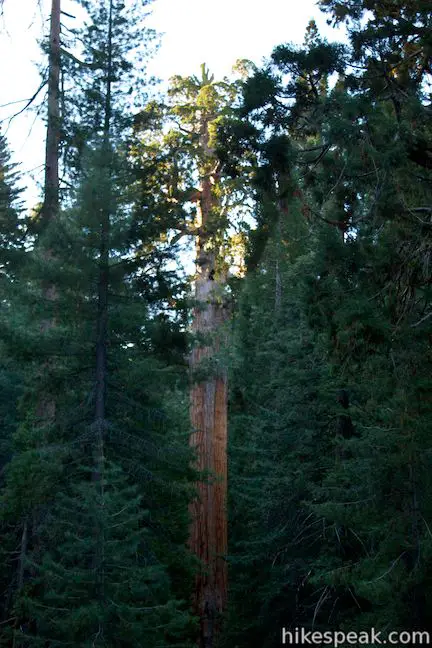
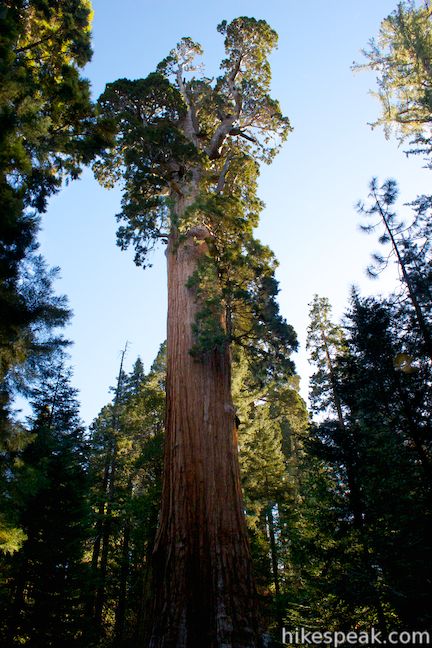
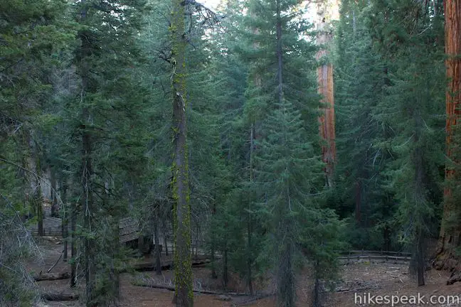
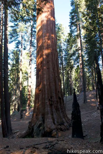
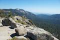
A short distance up the trail, you will come to North Grant View, one of the top highlights on North Boundary Trail. From this viewpoint you can look left down the pine-covered slope toward the Gamlin Cabin and the General Grant Tree. The two landmarks make a great pair, although the one-room cabin is dwarfed by the General Grant Tree, which is as tall as a 24-story building, weighting over 1,250 tons.
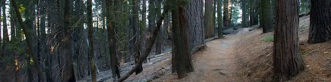
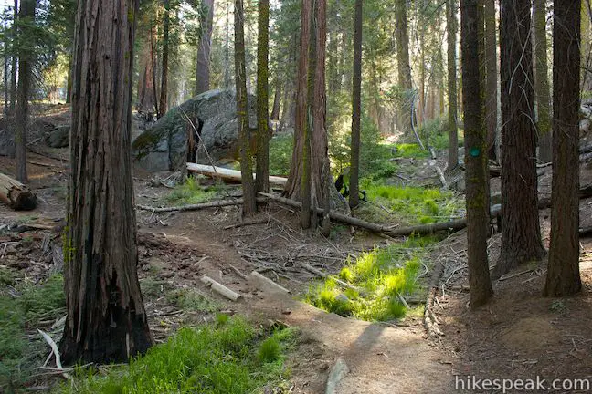
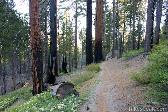
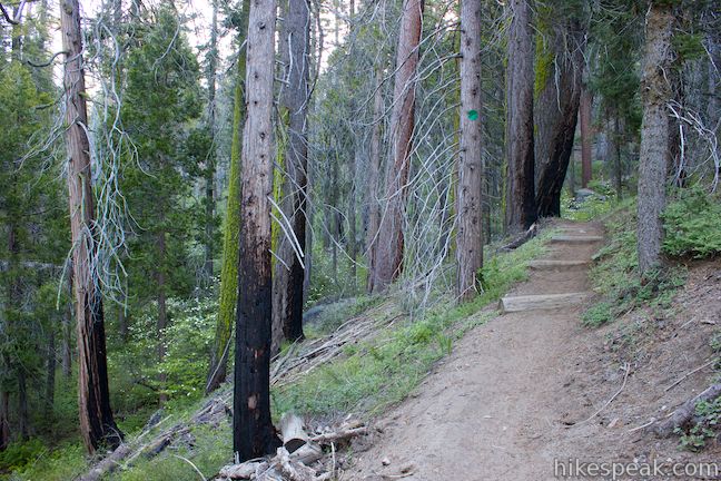
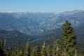
Continue east on North Boundary Trail and you will come to an unmarked split. A path to the left heads west along a ridge before turning left and down to the Grant Grove Parking Area near the Lincoln Tree. This is not North Boundary Trail. Stay to the right on the real North Boundary Trail, which turns north along a mountainside covered in sugar pines, ponderosa pines, and incense cedars.
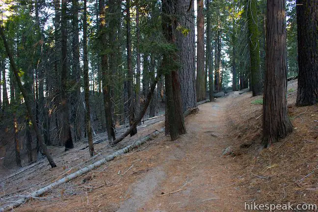
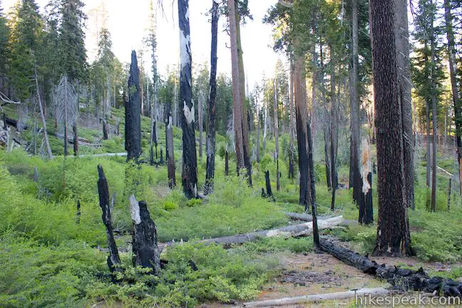
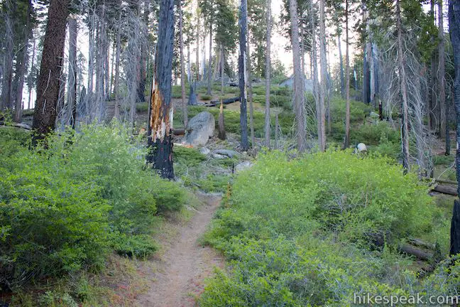
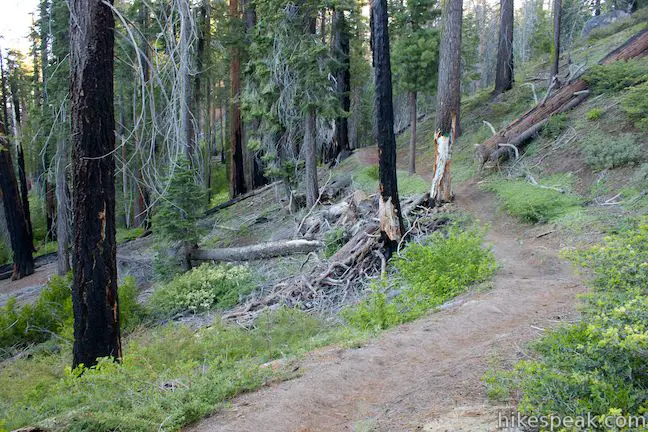
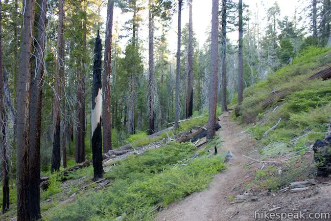
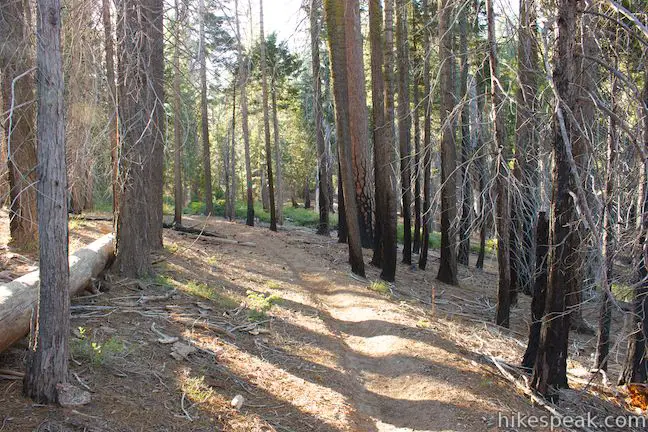
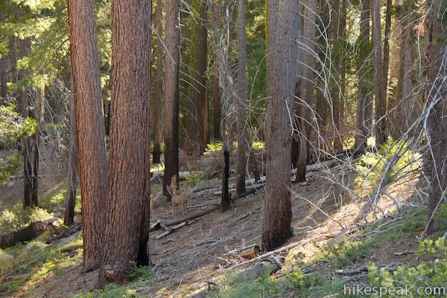
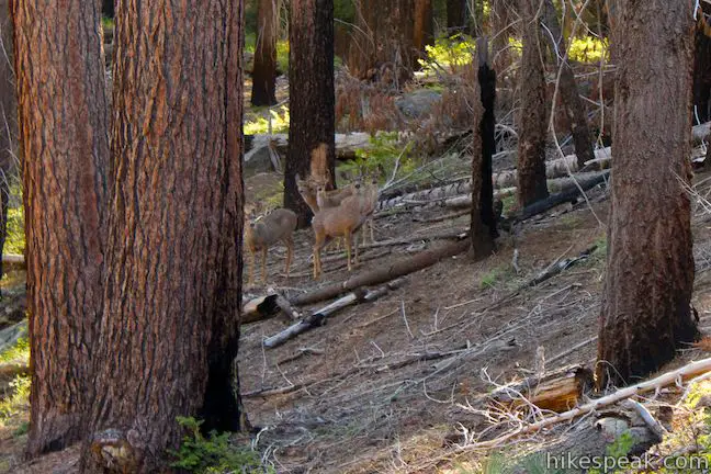
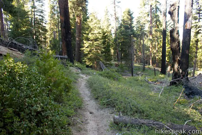
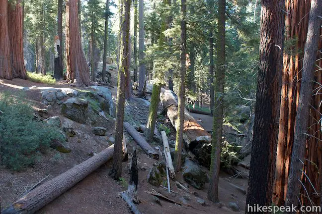
The trail will make a horseshoe bend to the left and descend to a level part of the forest where fire damage from a controlled burn is evident. For the next 0.75 miles, you will pass several scorched snags and fire-scarred pines. The meandering single track will also pass some undamaged dogwoods that bloom beautifully with large white flowers in May and June.

At 1.1 miles from the start of the loop, you will come to an important marked junction. North Boundary Trail continues straight east toward Generals Highway and you could hike this way for a much longer trek. To take it easier on yourself, turn right on the more worn trail, North Boundary Cutoff Trail, following a sign for the Corrals.
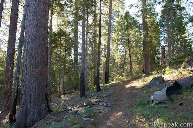
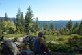
This single track heads south, ascending a ridge to the top of the hike. While it is obvious that other mountains and valleys surround this forest, there is never a big enough clearing in the trees to get a substantial view. After 0.7 miles on the Cutoff Trail, you will reach the high point of the loop at around 6,700 feet and begin to descend toward the Grant Grove. You may hear motorcycles and other noisy vehicles on Generals Highway, but will never get close enough to see the roadway. The downward trail ends at a T-junction (2.2 miles from the start of the loop). The corrals are to the left, but you should turn right toward the Grant Grove. Note that this end of North Boundary Cutoff Trail is not well marked and you might have a tough time spotting it if you hike this loop in reverse. Hiking in the clockwise direction, there will be clear a sign on the right labeled “Grant Tree Trail” to lead you back to the giant sequoias.
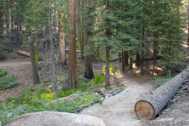
From the junction, there is another 0.55 miles left in the loop. As you hike west, you will start to see giant sequoias again. The trail crosses through a beautiful area of the Grant Grove that is far less visited than the area covered on the paved loop. After a quarter mile, spot a path on the left heading down the mountainside. This is a shortcut down to the trail near the Michigan Tree, but it misses the most inviting part of the grove that lies ahead.
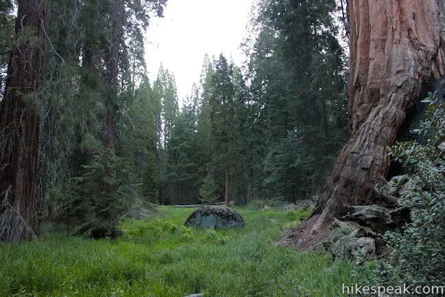
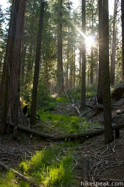
Continuing on the dirt trail past a grassy stream that is particularly beautiful in the early morning when the grove below is still quiet and the fresh sunlight casts a warm glow over the verdant grasses.
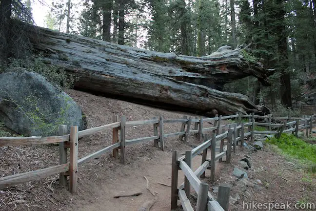
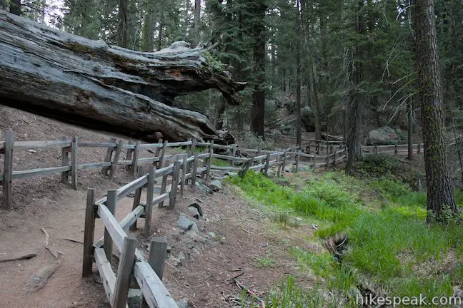
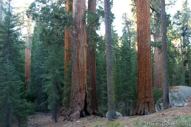
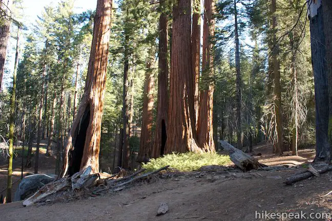
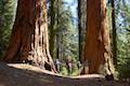
Next, the trail passes through huge sections of a fallen sequoia, the upper end of the Vermont Log, whose upturned roots can be seen just east of the General Grant Tree by hikers below. The trail curves around a draw in the mountainside, passing another grassy stream and a half dozen truly giant sequoias, including the Maryland Tree. You will spot the Gamlin Cabin through the trees just before the loop comes to a close at the junction above the cabin. Turn left and hike back down by the Gamlin Cabin toward the General Grant Tree to conclude the hike.
The pine forest along North Boundary Trail is pleasant but feels ordinary when compared to the sequoia grove that it so briefly explores. North Boundary Trail will probably not make it onto most visitors’ itineraries for Kings Canyon National Park, and for that reason it may appeal to those who would trade away some scenic splendor for woodland privacy.
Dogs and mountain bikes are prohibited on trails in Kings Canyon National Park. A national park entrance fee is required to visit the park, but you will not need a permit to hike North Boundary Trail, so get out and enjoy!
The basic directions for North Boundary Trail Loop are:
- Start from the east side of the Grant Grove Parking Area on the trail to Grant Village (0 miles)
- Turn left at the junction by the Michigan Tree (0.1 miles)
- Turn right at the junction by the Tennessee Tree (0.2 miles)
- Pass the General Grant Tree and turn right at the Gamlin Cabin (0.35 miles)
- Turn left on North Boundary Trail, beginning the loop (0.4 miles)
- Pass North Grant View (0.45 miles)
- Stay to the right through an unmarked junction (0.55 miles)
- Turn right down North Boundary Cutoff Trail (1.5 miles)
- Turn right at the end of the cutoff trail (2.6 miles)
- Close the loop at the junction above the Gamlin Cabin and turn left (3.15 miles)
- Return to junction by the Gamlin Cabin (3.2 miles)
- Take any route back to the Grant Grove Parking Area (3.55 miles)
To get to the trailhead: From Fresno, drive east on Route 180. After some 50 miles, you will reach the Big Stump Entrance Station for Kings Canyon National Park. Proceed 1.7 miles to a three-way intersection. To the right, Route 198 heads south toward Sequoia National Park. Turn left to stay on Route 180 and drive another 1.6 miles north to an intersection with Grant Tree Road. Turn left down Grant Tree Road, which will be on the left, 0.2 miles after the Grant Village, which will be on the right. After turning left on Grant Tree Road, you will pass the entrance to Azalea Campground on the left and proceed 0.75 miles down to the Grant Grove Parking Area, which you will find below a right bend at the bottom of the road. General Grant Tree Trail begins from the northwest side of the lot and the trail to Grant Village begins at the east end of the lot.
Trailhead address: Grant Tree Road, Kings Canyon National Park, CA 93628
Trailhead coordinates: 36.74681, -118.972595 (36° 44′ 48.5″N 118° 58′ 21.34″W)
View King Canyon's Grant Grove in a larger map
Or view Kings Canyon National Park in a larger map
Or view a regional map of surrounding Sierra Nevada trails and campgrounds.


 | General Grant Tree Trail This 0-8 mile loop passes through a Fallen Monarch in the Grant Grove to reach the General Grant Tree, one of the world's largest sequoias. |
 | North Grove Trail This 2-mile loop explores a quiet grove of sequoias near the crowded Grant Grove and can combine with Dead Giant Loop Trail for 3.25-mile hike. |
 | Dead Giant Loop Trail This 2.25-mile loop passes a small meadow and a large dead sequoia to reach Sequoia Lake Overlook and can combine with nearby North Grove Trail for 3.25-mile hike. |
 | Grant Village to Grant Grove Trail This mile-long trail connects the visitor center at Grant Village with the parking lot at Grant Grove, passing through Azalea Campground to reach giant sequoias, including the General Grant Tree. |
 | Panoramic Point This 0.5-mile round trip hike reaches an exception overlook with views into Kings Canyon. |
 | Buena Vista Peak This 2-mile round trip hike ascends 420 feet to a granite summit with 360-degree views over the Redwood Mountain Sequoia Grove and Kings Canyon. |
 | Hart Tree and Fallen Goliath Loop This 8.3-mile loop on Hart Tree Trail and Redwood Creek Trail passes tranquil streams and interesting sequoias in the Redwood Mountain Grove in Kings Canyon National Park. |
 | Grizzly Falls This 0.1-mile round trip stroll at Grizzly Falls Picnic Area in Sequoia National Forest reaches the base of an 80-foot waterfall along the Generals Highway near the Cedar Grove Area of Kings Canyon National Park. |
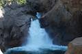 | Roaring River Falls This paved 0.3-mile round trip hike reaches a thundering little waterfall on a tributary of the Kings River in Kings Canyon National Park. |
 | Kanawyer Loop Trail This 5-mile loop is scenic and easy, exploring east from the backcountry gateway at Road's End along both sides of the South Fork Kings River in Kings Canyon. |
 | More trails in the Sierra Nevada Mountains Explore other destinations in Kings Canyon National Park and the rest of the range. |
 | Sequoia and Kings Canyon National Parks Campgrounds There are 14 campgrounds with over 1,000 total sites spread throughout the parks to facilitate your visit. |
Go the extra miles...
Submit a rating of this hike to go with your comment. Contribute to the average trail rating.