The San Bernardino Mountains are a rugged east-west running mountain range in San Bernardino County east of the San Gabriel Mountains. While the range tops out at the 11,500-foot summit of San Gorgonio Mountain, you can find great panoramic view from a 4,000-foot peak that is much easier to reach. Marshall Peak rises above the foothills of the mighty San Bernardino Mountains and is just a short trip from cities in the San Bernardino Valley. It is a 3.25-mile round trip hike (with 375 feet of elevation change) to the summit, which serves as a popular paragliding launch site.
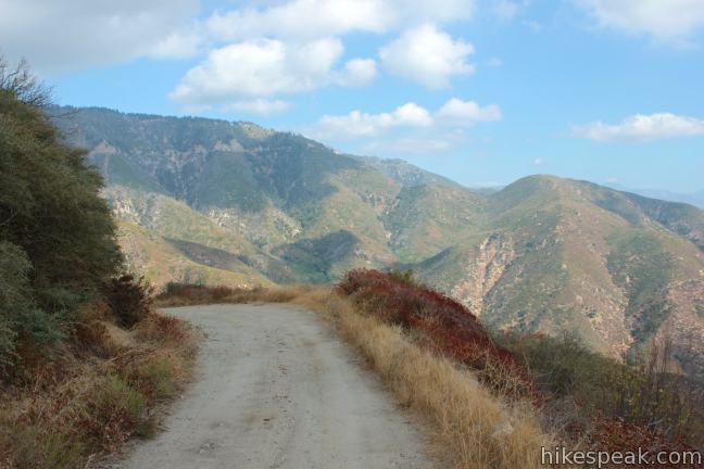
Starting from a turnout along Rim of the World Highway between the city of San Bernardino and the mountain town of Crestline, the hike follows a dirt service road south toward Marshall Peak. If the white gate at the bottom of the Forest Road 2N40 is open, as it typically is, high clearance vehicles may drive all the way to the summit. This is certainly useful to paragliders, but means that hikers should stay on the lookout for vehicles.
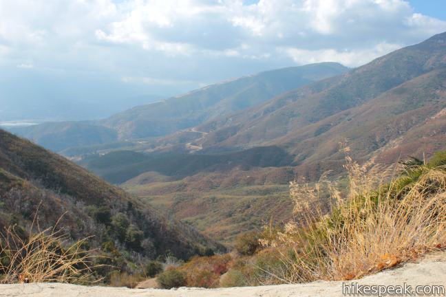
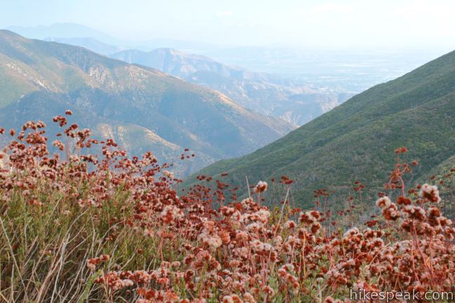
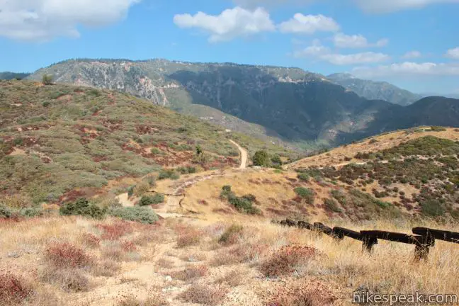
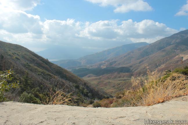
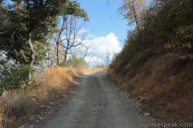
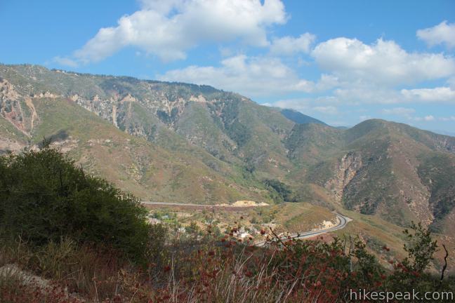
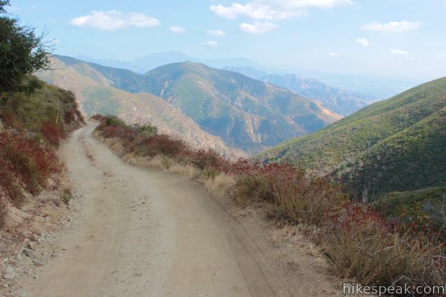
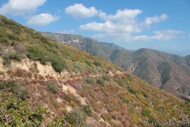
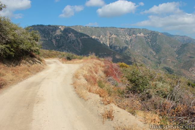
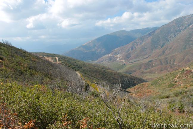
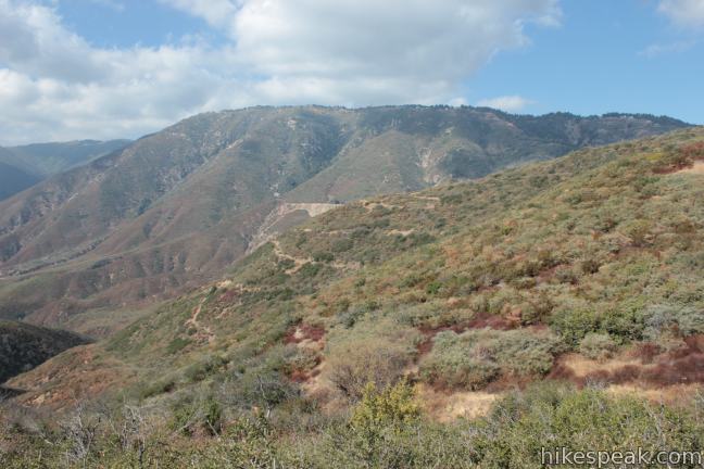
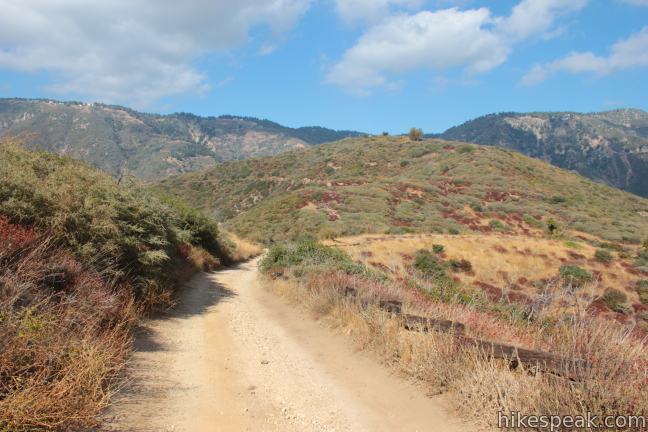
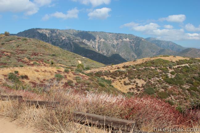
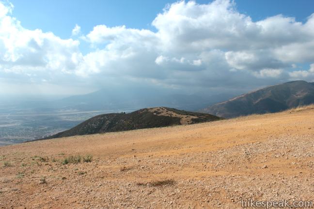
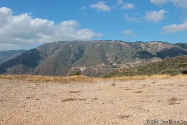
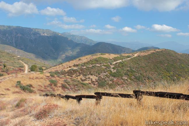
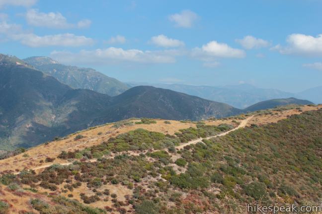
Hike south up the narrow dirt road, which follows a chaparral-covered ridge toward the summit, presenting periodic eastward views across Waterman Canyon toward loftier summits in the San Bernardino Mountains like Strawberry Peak and Keller Peak. The winding trail climbs about 125 feet before dropping to a saddle, just over half a mile from the start. Here you can enjoy a new view across the rippling foothills at the southwest end of the San Bernardino Mountains, followed by the rising summits of the San Gabriel Mountains to the west.
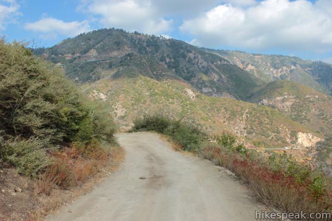
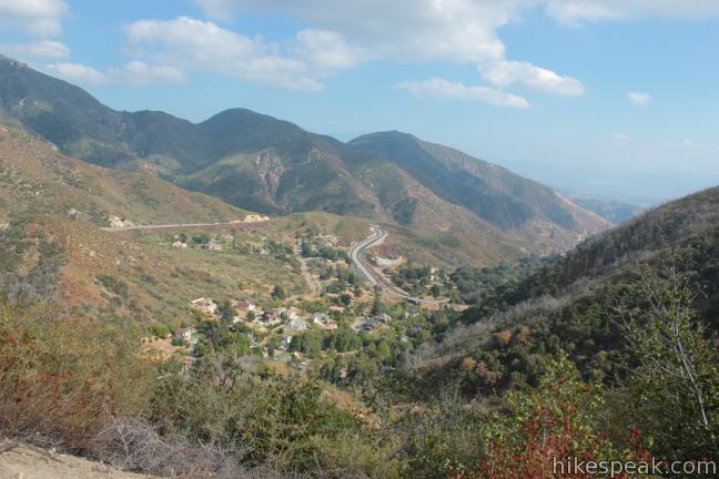
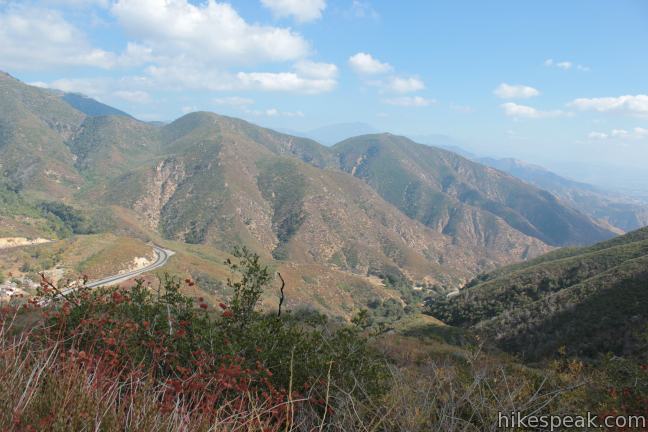
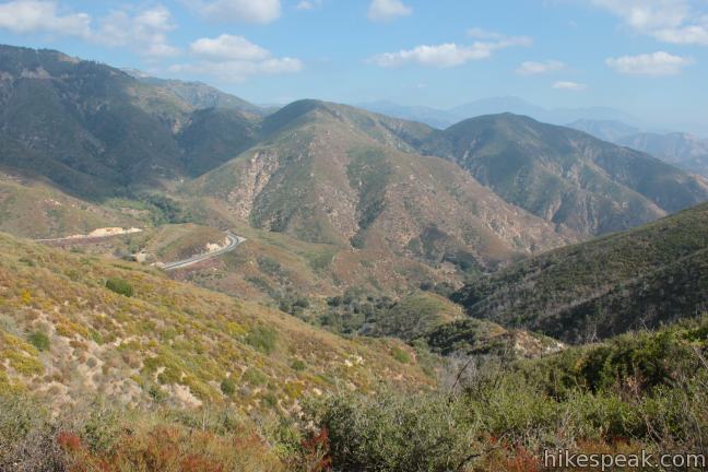
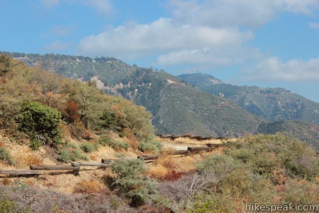
Passing the saddle, the road continues its uphill trajectory on the east side of the ridge. Far below the road is a small community tucked into Waterman Canyon along Rim of the World Highway.
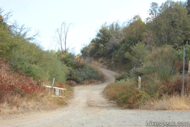
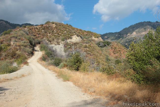
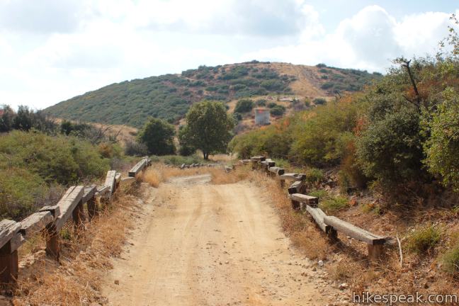
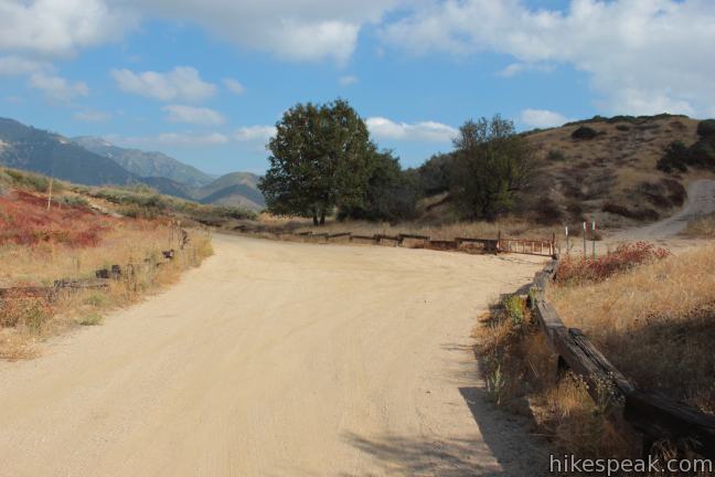
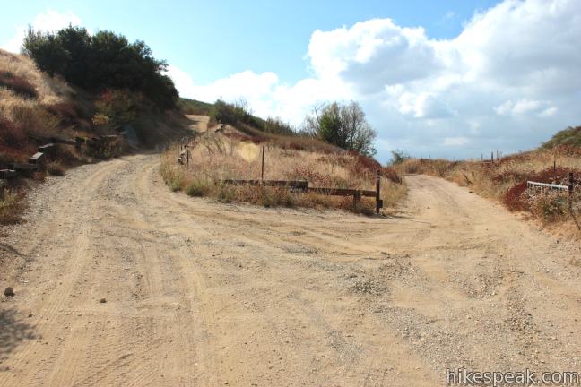
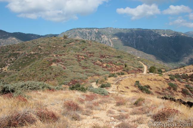
The summit of Marshall Peak comes into view about 1.25 miles from the start, and at 1.4 miles you will reach an intersection with another dirt service road, Cloudland Truck Trail. Make a right on Cloudland Truck Trail, followed by an immediate left to continue up Fire Road 2N40 toward the summit of Marshall Peak.
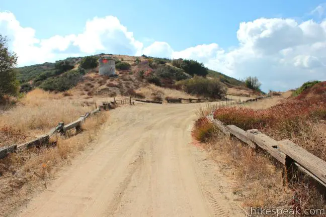
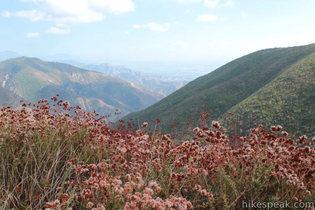
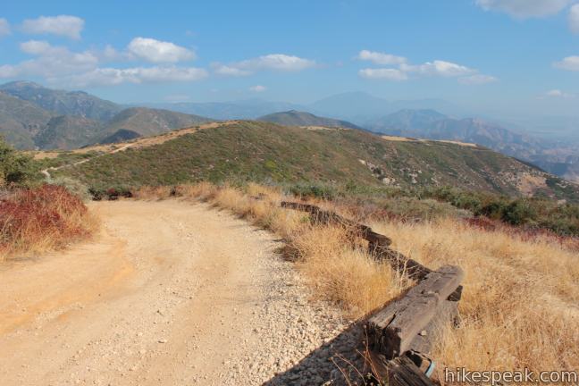
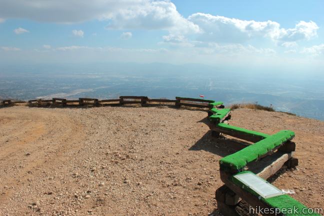
Less than a tenth of a mile past the junction, you will cross an overgrown firebreak that ascends to the right toward the top of the mountain. The firebreak can be used as an alternative route to the summit, which the road reaches after another tenth of a mile. The road wraps up the south side of the mountain to deliver sweeping views over the valley below.
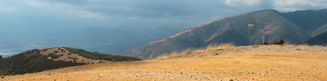
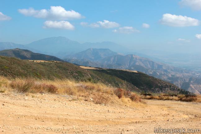
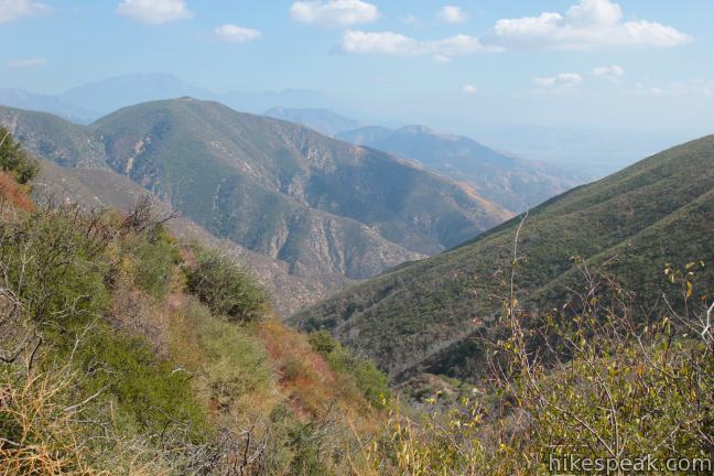
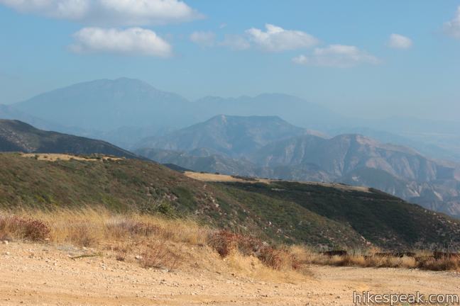
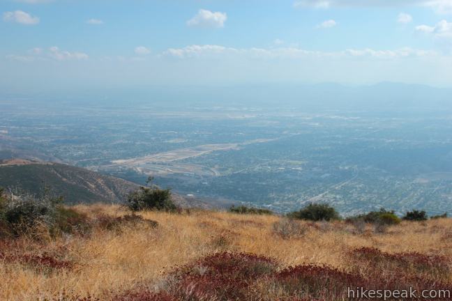
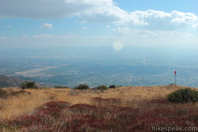
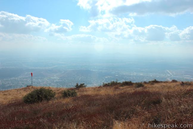
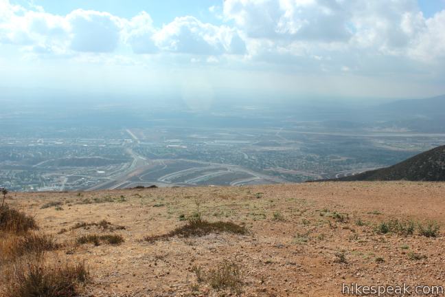
From Marshall Peak, there are unimpeded views south across the vast San Bernardino Valley. The high summits of the San Bernardino Mountains rise to the east and the tops of the San Gabriel Mountains are visible to the west beyond the outstretched foothills of the San Bernardinos.
The bare wind-swept summit is a well utilized launch point for paragliders who take advantage of desert mountain thermals. The Marshall Peak Launch is operated by the U.S. Hang Gliding and Paragliding Association and the Crestline Soaring Society. On weekends you will likely see foot-launched gliders taking off and hovering above the 4,003-foot summit.
Descend via the firebreak or the dirt road and hike back the way your came, remembering to be aware of vehicle traffic on the narrow road.
A steeper alternative route to Marshall Peak is to hike up Cloudland Truck Trail from Rim of the World Highway. The fire road meets the highway, five miles below the main trailhead, and it is three miles up Cloudland Truck Trail to the junction near the summit.
A National Forest Adventure Pass is required to park your vehicle in the San Bernardino National Forest, but no permit is required to hike to Marshall Peak. Dogs and mountain bikers are welcome, so get out and enjoy!
To get to the trailhead: From the 210 Freeway in San Bernardino, take exit 76 for Waterman Avenue (Highway 18). Drive north on Waterman Avenue, which leaves the city after 2 miles and becomes Rim of the World Highway. At 8.8 miles from the 210 Freeway, near mile marker 14.8, pull off the road and park in a large dirt turnout on the south side of the road. Display an Adventure Pass in your vehicle, and begin hiking south through the white gate up Forest Road 2N40.
Trailhead address: Rim of the World Highway (Highway 18), San Bernardino National Forest, San Bernardino, CA 92404
Trailhead coordinates: 34.22432, -117.29956 (34° 13′ 27.55″N 117° 17′ 58.4″W)
You may also view a regional map of surrounding Southern California trails and campgrounds.
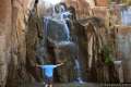
 | Heart Rock This 1 to 1.4-mile round trip hike follows a mountain stream to an overlook of an amazing heart-shaped formation in the rock wall along Seeley Creek Falls. |
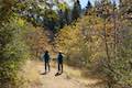 | Heaps Peak Arboretum Take a short hike on Sequoia Trail and Footprint Trail to learn about the plants, animals, and natural history of the San Bernardino Mountains. |
 | Towne Trail This 2 2/3-mile round trip hike takes a gradual course across the mountains on the south side of Big Bear Lake. |
 | More hikes in Southern California Explore other trails in Orange, Riverside, San Bernardino, and San Diego counties. |
Is it feasible to drive this road if you have someone who can’t make the full 3.2 miles (with elevation change)?
Yes, but if you don’t have a high clearance vehicle, you may not make it all the way down the road. It gets rough in places.
Great Thanks. Not taking a sedan or coupe so.
Was up near Hana Flats off of Redonda Ridge, on Big Pine flat road (3916) with our Truck, so hopefully its not as bad as that road.
https://maps.google.com/maps?q=34.289577,-117.035853&num=1&t=h&z=17