Horn Canyon Trail rises into the frontcountry of the Topatopa Mountains from Ojai, California. While you can spend a full day (and a full workout) hiking up Horn Canyon Trail, you can also opt for the shorter option described here, trekking up the trail’s moderate opening mile, past multiple creek crossings and views down Ojai Valley, before venturing off trail up the canyon bottom past pools and a small cascade on Thacher Creek. Though the cascade isn’t a spectacular draw, it’s a great excuse to wander up an untamed canyon. Unless you are determined to bushwhack far beyond Horn Canyon Trail, you can turn around after a quarter mile without trail for a 2.9-mile round trip hike with 750 feet of elevation change.
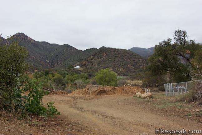
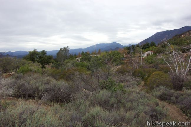
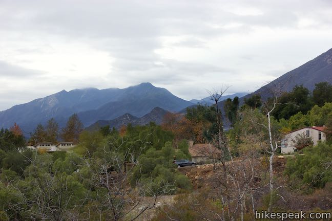
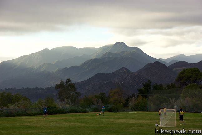
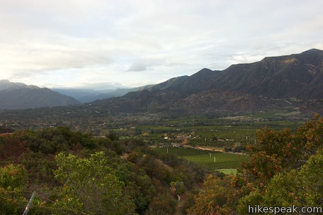
Horn Canyon Trail starts next to Thacher School, a private school on the edge of Ojai. Stepping back from the trailhead, you can actually get a great view across the school’s soccer field and over Ojai toward White Ledge Peak and other lofty mountains (this looks like a distracting place to be a student athlete).
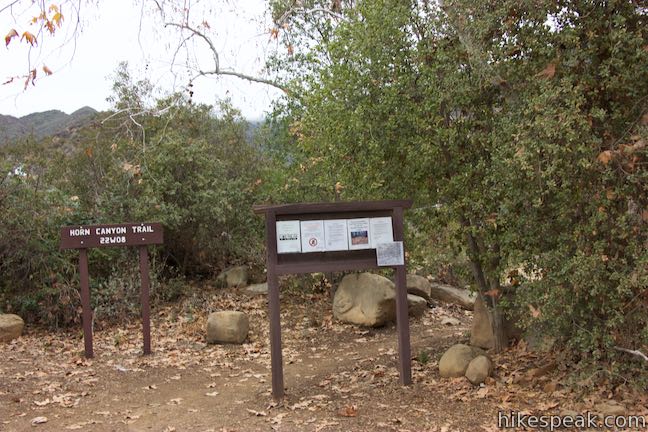
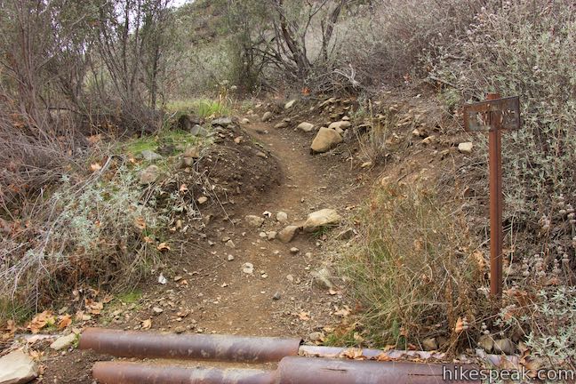
The trailhead is marked by a kiosk and a Los Padres National Forest sign reading, “Horn Canyon Trail 22W08.” Hike up the trail past a composting station used by the school and bear right to stay on Horn Canyon Trail, which narrows as it passes a metal sign.
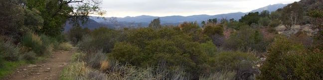
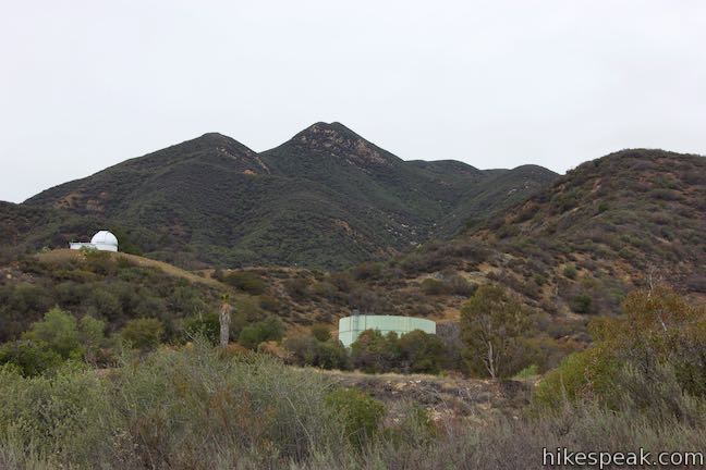
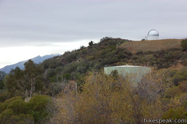
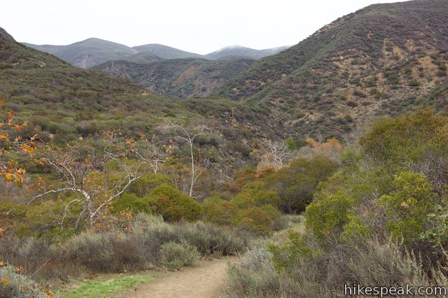
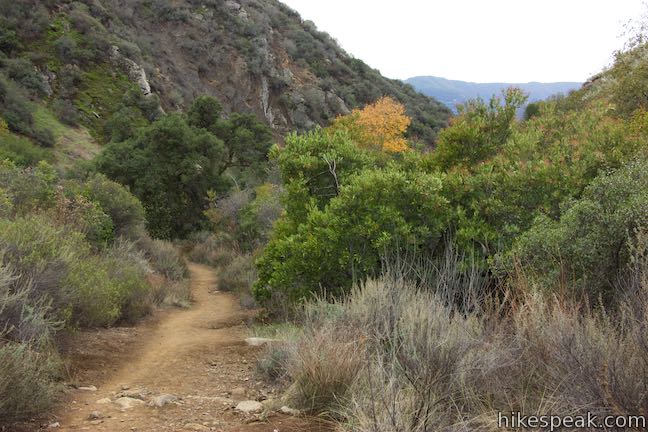
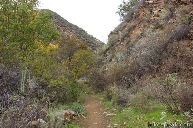
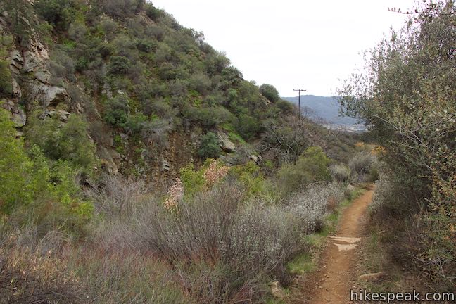
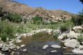
The trail enters Horn Canyon from the south and travels up the east side, to the right of Thacher Creek. Look across the canyon toward the campus of Thacher School, which even boasts an observatory on the opposing ridge. Look over your shoulder for intermittent views west down Ojai Valley toward the mountains above Ojai, like White Ledge Peak and surrounding summits.
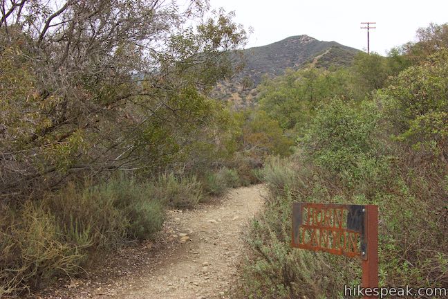
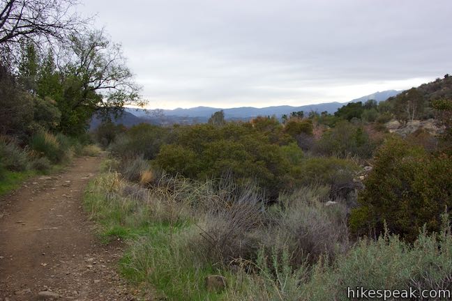
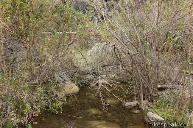
Sagebrush and chaparral line the trail, while sycamores and alders grow in the path of Thacher Creek. After 0.2 miles of hiking, stay to the right on Horn Canyon Trail past a thinner path on the left that drops across the creek. This is the first of four single-track trails branching off Horn Canyon Trail that appear to be maintained by Thacher School and are marked with signs labeled PTS.
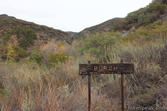
Pass another side trail on the right, marked “Burch Collins,” just before Horn Canyon Trail drops across Thacher Creek for the first time, 0.45 miles from the start.
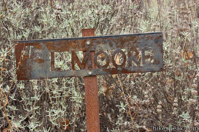
Enjoy a taste of the west side of the canyon over the next 0.15 miles, passing through a junction with a trail labeled “L Moore” that rises to the left. As you drop back across the creek, listen for frogs crooning from hiding places beside the grassy banks.
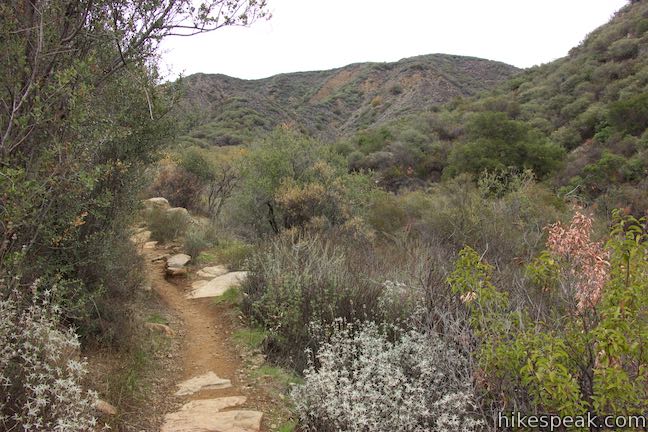
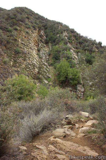
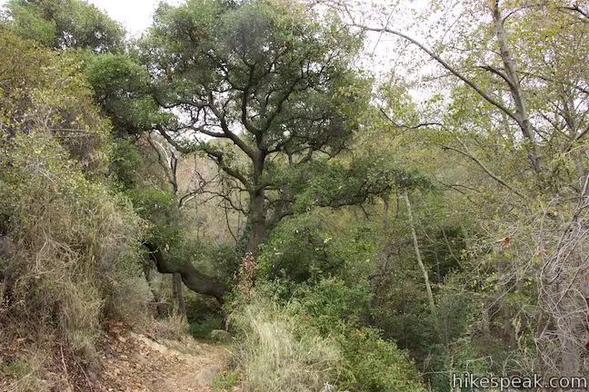
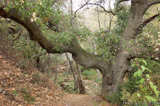
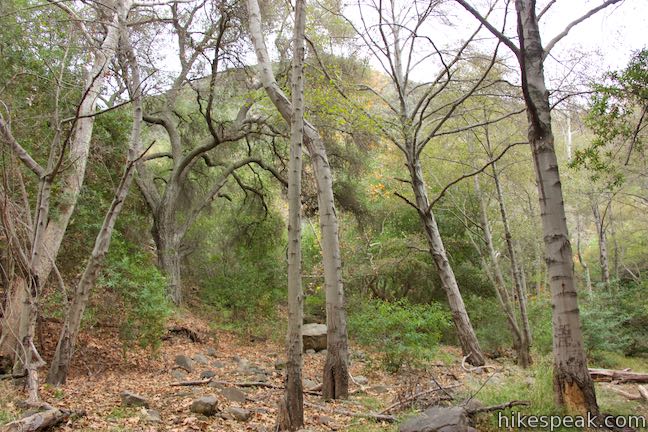
Crossing the creek, the trail climbs a bit up the side of the canyon. Pass a third PTS trail that parts to the right just before Horn Canyon Trail pops into an oak grove with the hike’s densest foliage.
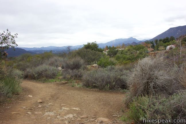
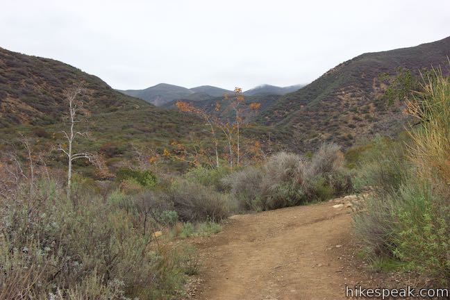
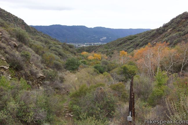
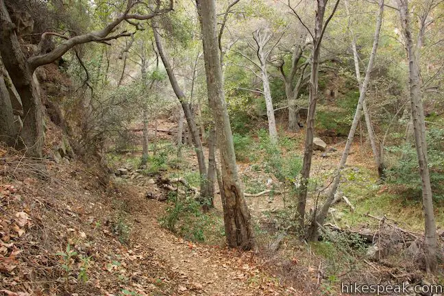
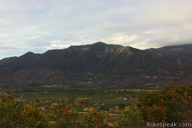
Drop back to the creek for a third crossing. This stretch of the creek may be dry even when the lower crossings hold water. Rise from the creekbed and go up a switchback to the left that leads to a perch with one of the trail’s greatest views back down the canyon toward Sulphur Mountain. This is the one-mile mark and a decent turnaround spot for those with limited time or energy.
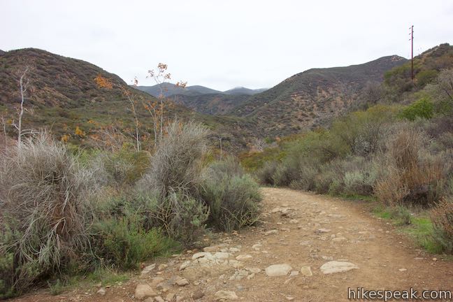
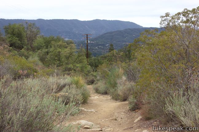
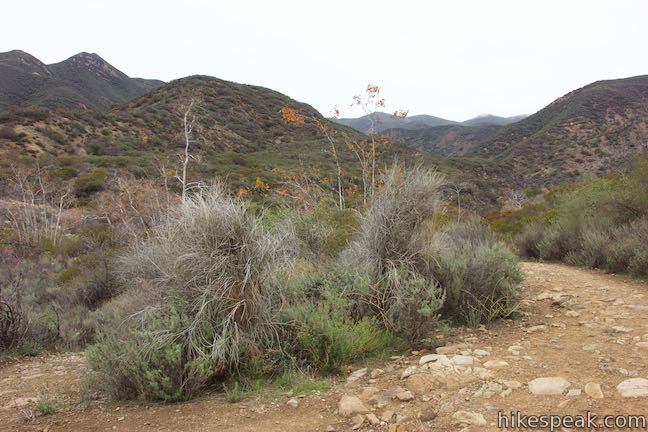
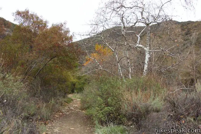
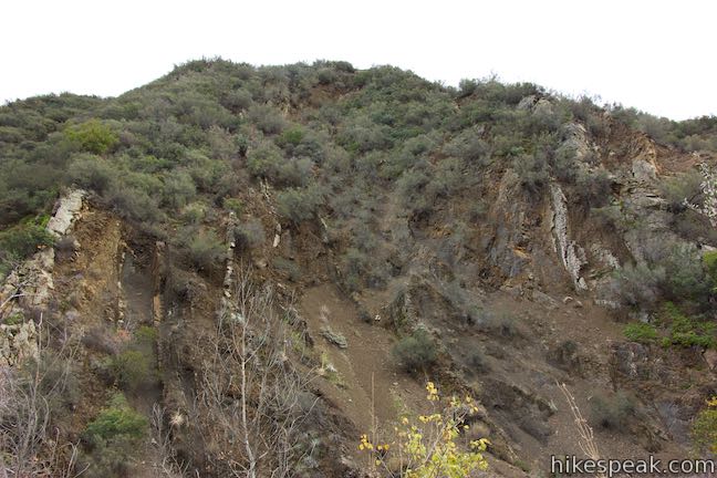
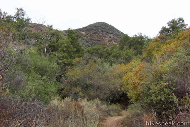
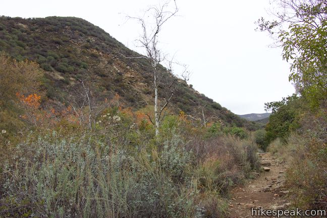
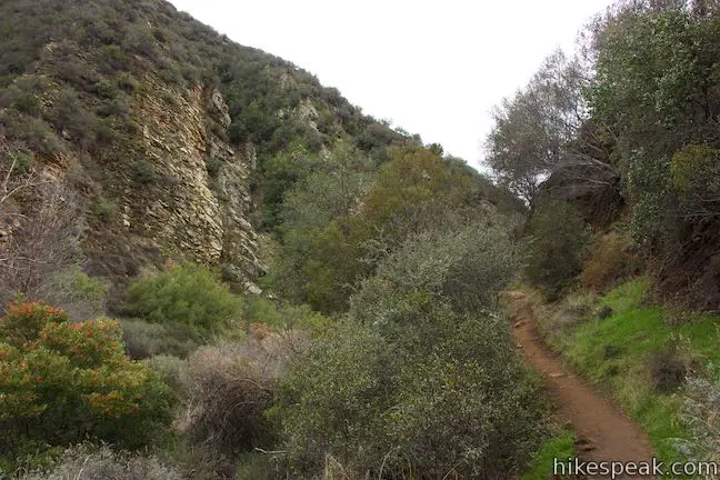
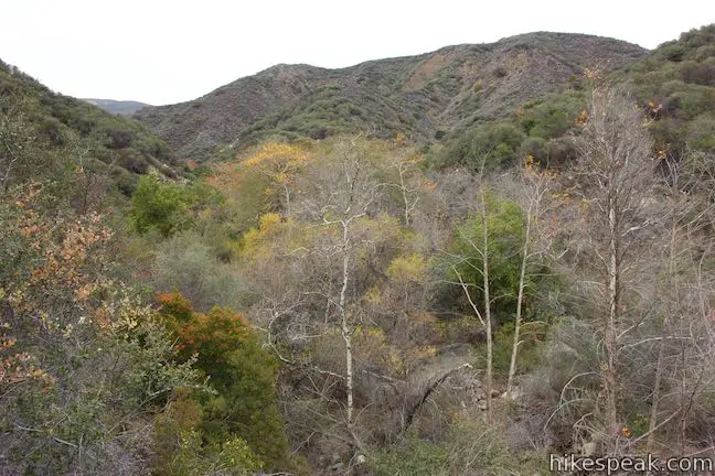
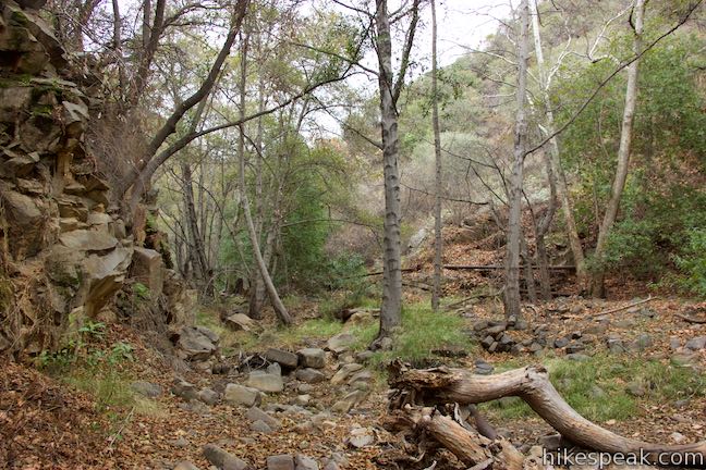
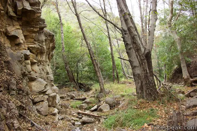
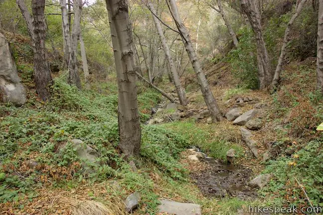
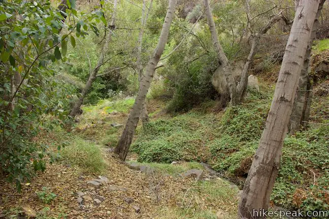
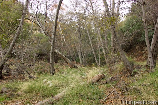
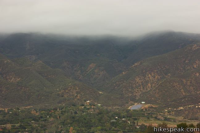
Moving on, Horn Canyon Trail holds to the west side of the canyon above Thacher Creek, offering bigger perspectives of Horn Canyon and the ridges above. When the walls of the canyon draw closer together, the trail drops into the forest along the canyon floor.
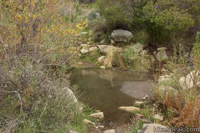
When you reach this fourth canyon crossing on Horn Canyon Trail, 1.2 miles from the start, you have a decision to make. To the right, the next leg of Horn Canyon Trail rises out of the canyon to Pine Campground (a trail camp 1-mile up) and then gains serious elevation to Sisar Road (2.4-miles up), a fire road that leads farther into the Topatopa Mountains. Turn left to abandon the trail and begin forging your own path up the canyon along Thacher Creek.
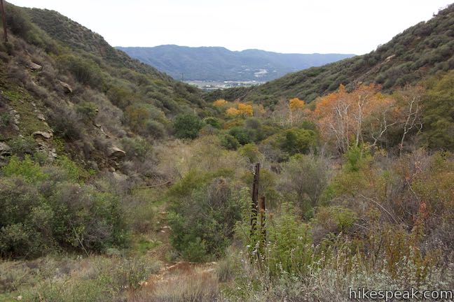
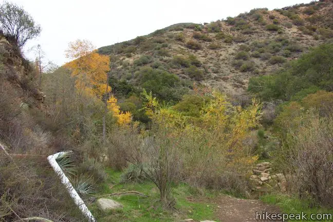
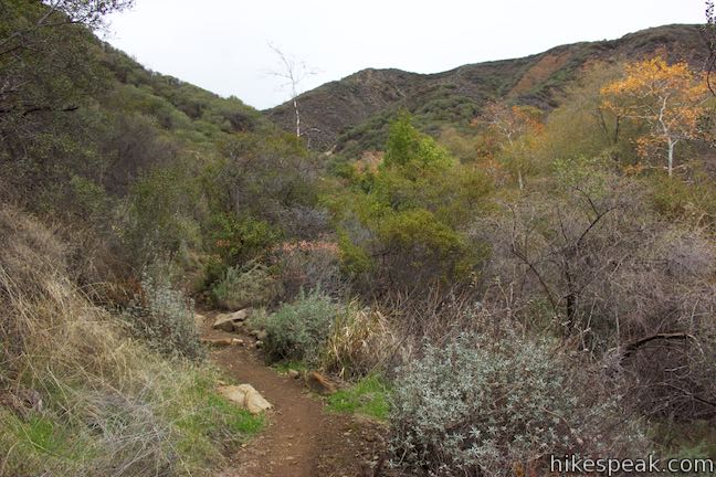
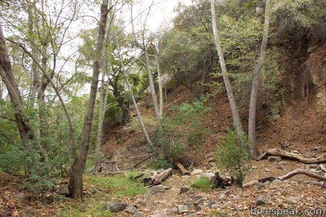
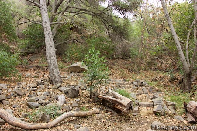
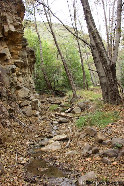
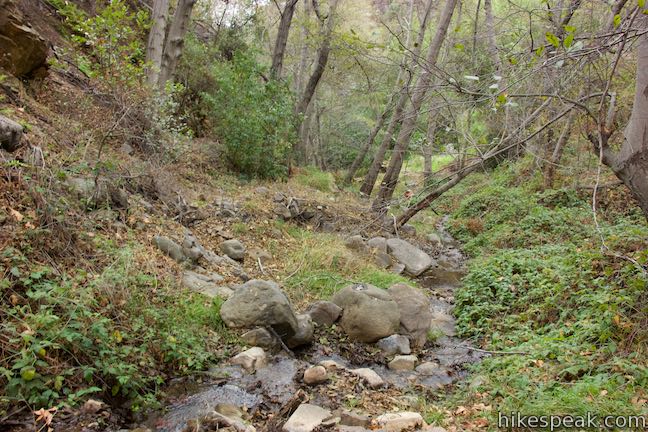
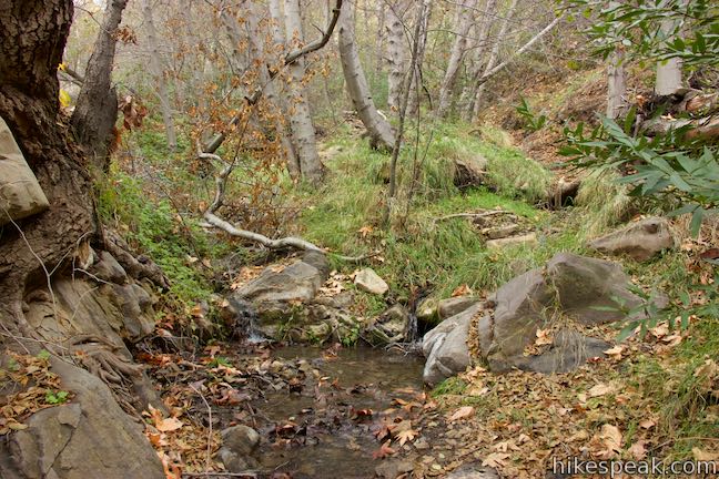
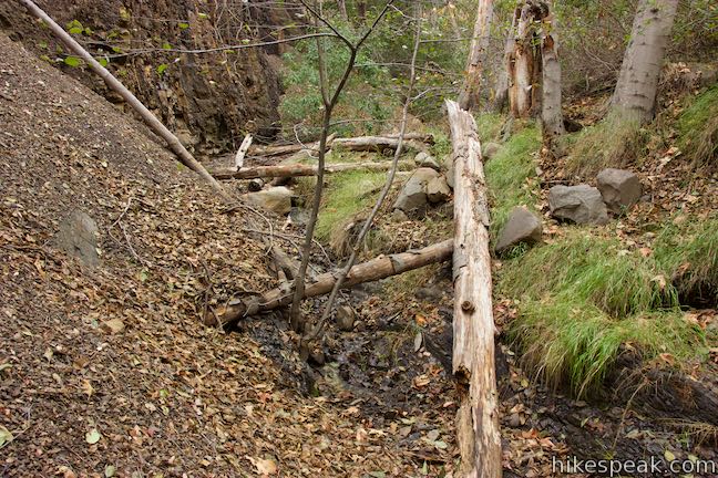
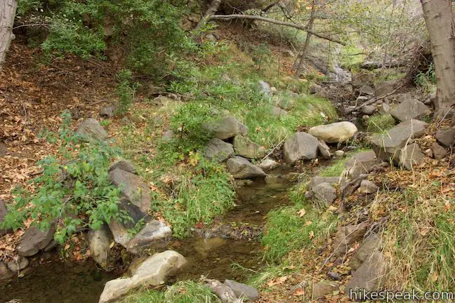
Leave Horn Canyon Trail to explore the canyon floor. Footpaths will give you something to follow at times. Otherwise, the course is yours to plot. Stick with Thacher Creek, which pours over rocks and logs. Alders grow in bunches along the stream, rising as high as the rock walls that pinch the gorge.
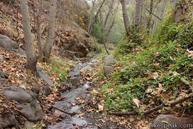
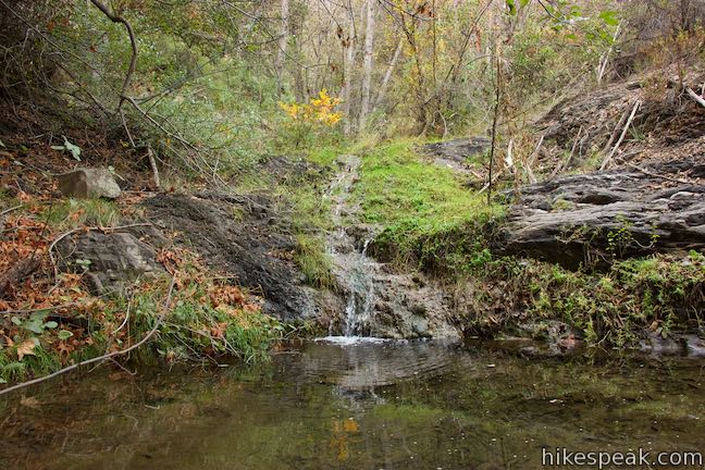
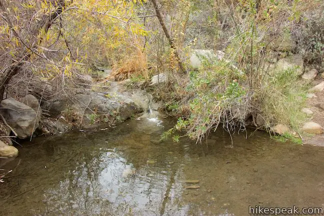
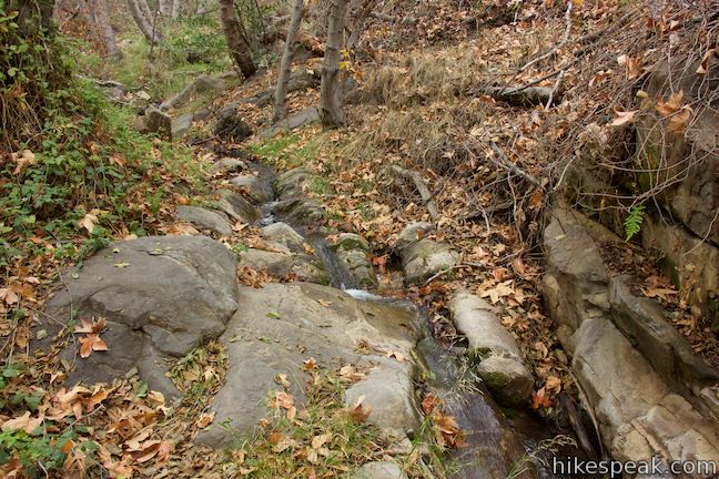
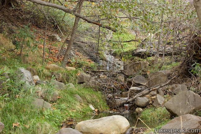
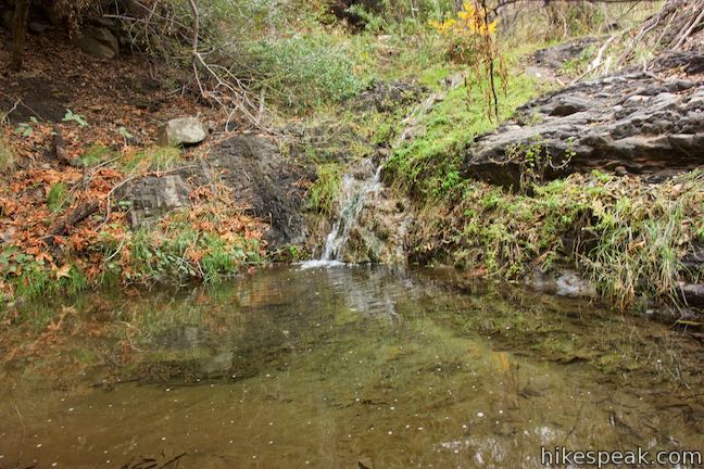
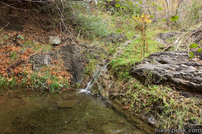
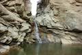
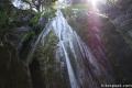
Follow Thacher Creek through this wild environment. Climb over boulders and downed trees. A quarter mile up the canyon from the established trail, a short, sliding waterfall appears, feeding into a small pool. This seems like a natural turn-around point, but you could certainly decide to turn back sooner or press on to discover what lies above.
When you do turn around, retrace your steps back down to Horn Canyon Trail. Turn right and hike 1.2 miles back to the trailhead. Horn Canyon offers a pleasant and relatively easy hike convenient to Ojai, California. Dogs and bikes are both allowed on the Horn Canyon Trail. No permit is needed to hike Horn Canyon Trail in Los Padres National Forest. Parking at the trailhead is free.
To trek up canyons in the Topatopa Mountains to the east, check out Sisar Canyon Trail and Santa Paula Canyon Trail.
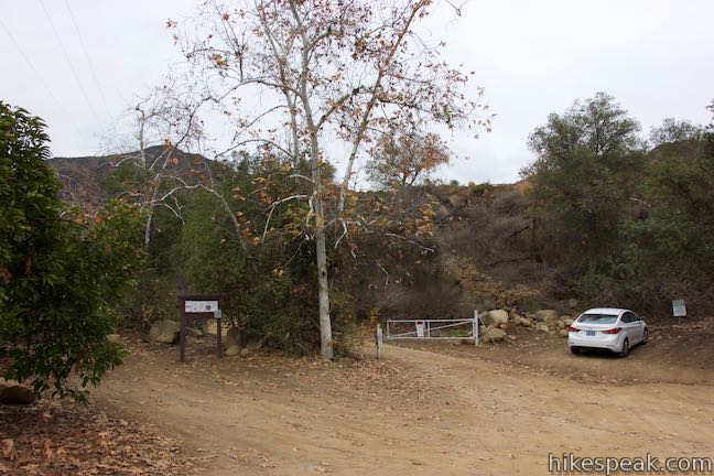
To get to the trailhead: From the intersection of Route 33 and Route 150 in Ojai, travel east on Route 150 for 3.4 miles. Turn left onto Reeves Road (just before Route 150 makes its winding climb to Summit). Take Reeves Road for 1.1 miles and turn left onto McAndrew Road. In another 1.1 miles, when McAndrew Road curves sharply to the left and becomes Thacher Road, turn right into the entrance of Thacher School.
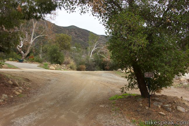
Make three right turns to drive along the edge of the campus toward Horn Canyon, finding a dirt road with a sign that reads, “Horn Canyon Trail Access.” You can park just off the pavement here or drive another 1/8 of a mile up a semi-rough road to the trailhead, which is on the left side of an intersection that offers additional parking.
Trailhead address: Thacher Road & Forest Route 5N10, Ojai, CA 93023
Trailhead coordinates: 34.46337, -119.17838 (34° 27′ 48.13″N 119° 10′ 42.16″W)
You may also view a regional map of surrounding Central Coast trails and campgrounds.


Extra Views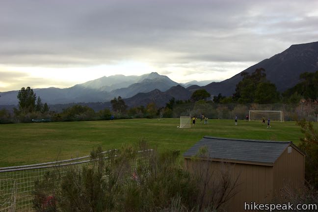
 | Sisar Canyon Trail This 5.5 to 6.5-mile hike travels up a canyon to a viewpoint in the Topatopa Mountains between Ojai and Santa Paula. |
 | Santa Paula Canyon Trail to the Punchbowl This 8-mile hike ventures up rugged Santa Paula Canyon to a waterfall and a Punchbowl of pools and cascades in Santa Paula Creek by Big Cone Camp. |
 | Wheeler Gorge This 1-mile loop explores the forest around this 70-site Campground. |
 | Rose Valley Falls This 1-mile round trip trail leads to the lower tier of a lovely two-tier 300-foot waterfall. |
 | Sespe Creek to Willett Hot Springs This 19-miles round trip follows Sespe Creek to a relaxing hot springs. |
 | Ocean's Edge and River's Edge Trails Loop This level and easy 1.5-mile loop in Emma Wood State Beach borders the Pacific Ocean, the Ventura River, and an estuary flocked by seabirds. |
 | More Central Coast Hikes Explore other destinations along the California coast between Ventura and Monterey, including trails in Los Padres National Forest. |
Horn Canyon Trail to Pines Campground on nobodyhikesinla.com
Horn Canyon Trail to Pines Campground on calihike.blogspot.com
Horn Canyon Trail to Chief Peak on valhikes.blogspot.com
Horn Canyon Trail to Chief Peak on norcalhiker.com
Horn Canyon Trail on hikelospadres.com
An LA Times article about Horn Canyon Trail
Horn Canyon Trail on venturacountytrails.org
Trail in good condition at least to the old Pines campsite – burned over. Water in the creek was muddy – it rained a couple of days ago. Met several people coming up as we came back down.