Forest Park offers nearly instant access to the outdoors for people in Portland, Oregon. Pittock Mansions and the Stone House are popular destinations that can attract weekend crowds in Forest Park. For a quieter hike, combine Holman Lane, a section of Wildwood Trail, and Birch Trail for a 2.7-mile loop with 425 feet of elevation change. Holman Lane and Birch Trail leave NW 53rd Drive next to each other and connect to the major hiking trail through Forest Park to explore charming woodlands in the Tualatin Mountains (better known as the West Hills)
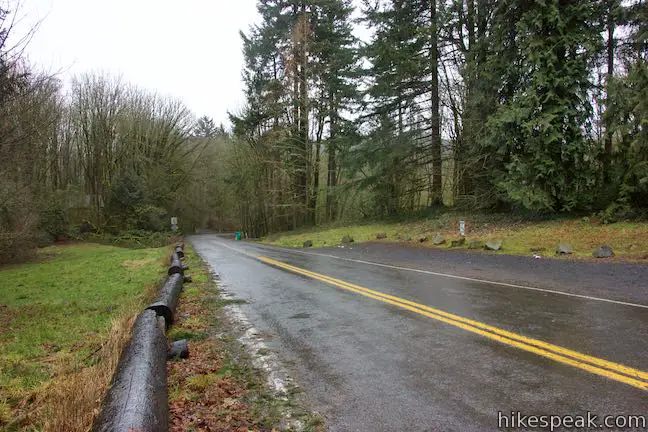
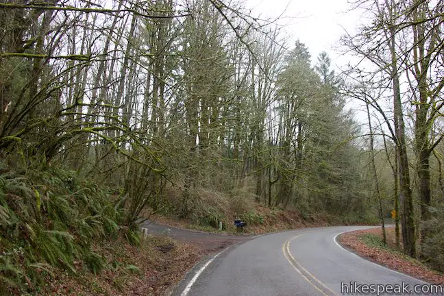
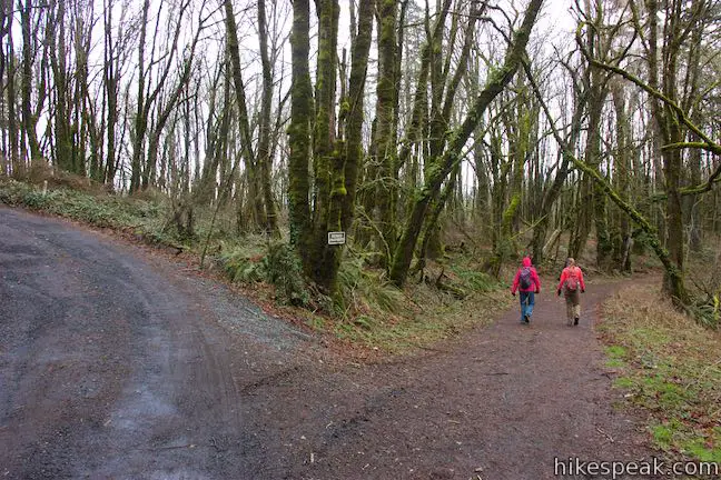
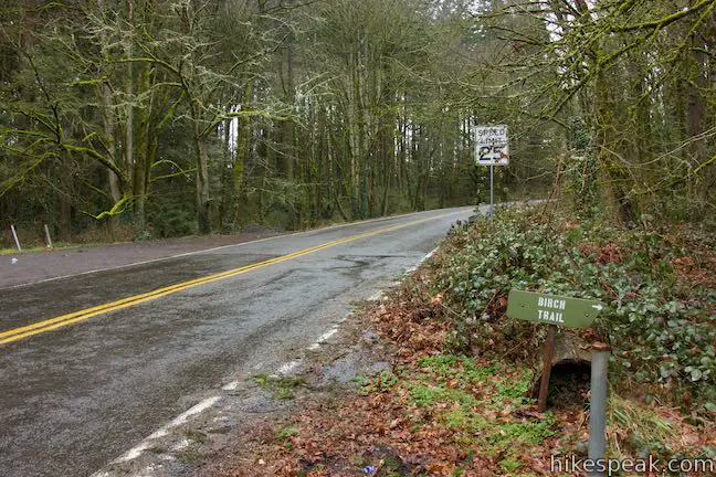
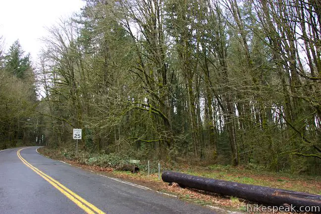
Set out from the Birch Trailhead along NW 53rd Drive, which is half a mile from NW Cornell Road and offers ample parking. Instead of embarking on Birch Trail, which is just across the road, start the loop by walking a tenth of a mile down 53rd Drive toward Cornell Road. Turn up the first gravel road on the left next to a cluster of mailboxes. This is an access road to Holman Lane that serves as a driveway for houses. Though the start of Birch Trail is well marked, you have to be a bit inquisitive to find Holman Lane.
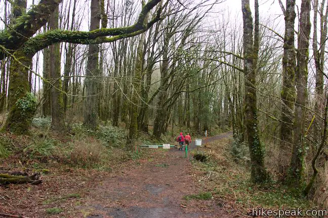
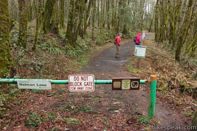
Parking is prohibited along the road (or driveway) to Holman Lane, but you are free to walk up it. After less than 100 yards, bear right at a split to avoid the driveway on the left. You will soon arrive at the gate at the top of Holman Lane.
As you enter Forest Park, a sign explains that bikes are allowed to travel uphill only on Holman Lane. Bikes are prohibited on Wildwood Trail and Birch Trail. By hiking the loop in this direction, you will face any bike traffic head on.
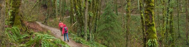
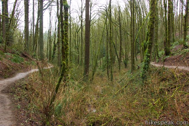
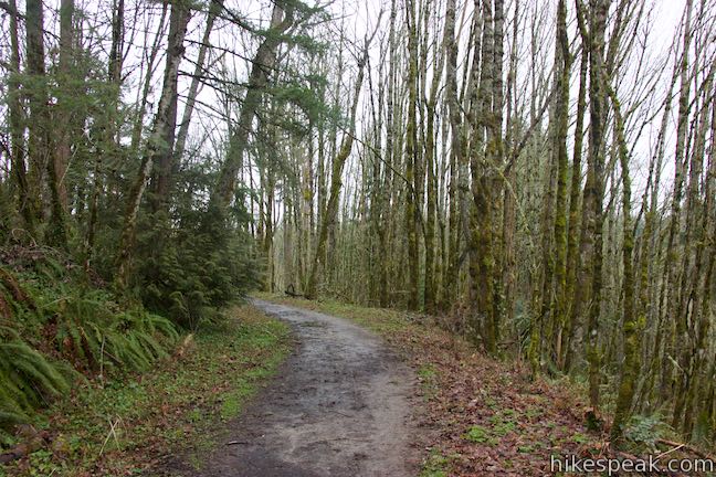
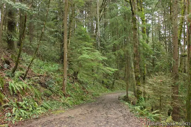
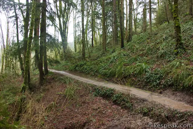
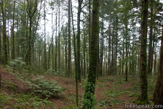
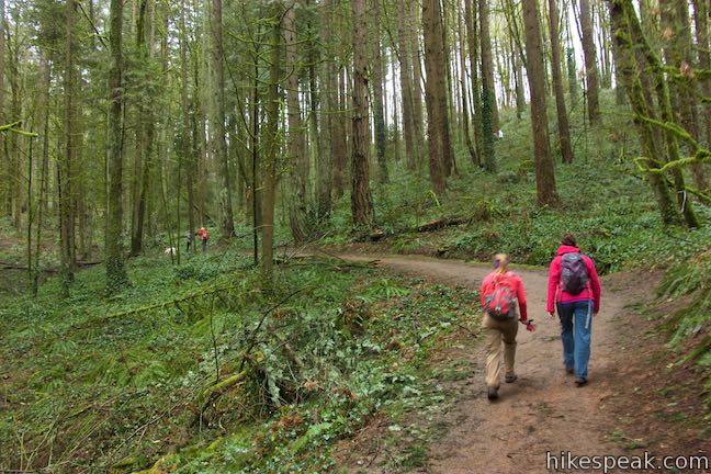
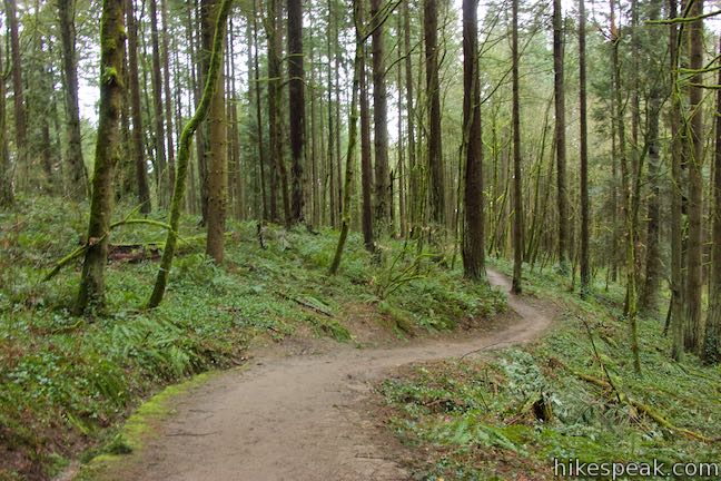
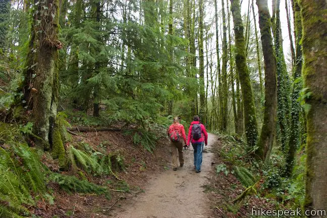
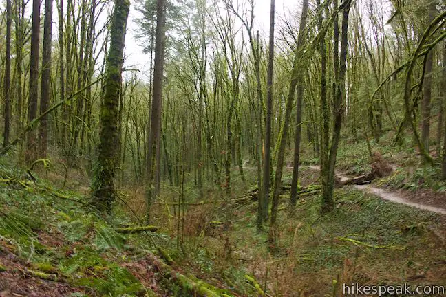
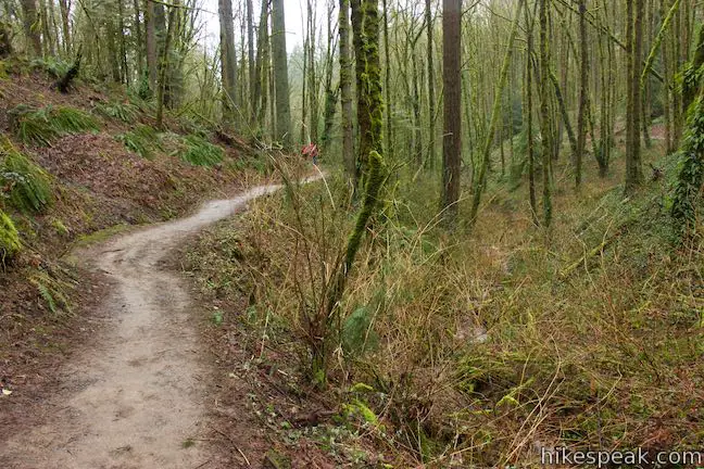
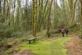
Beyond the gate, Holman Lane tips downhill for 0.7 miles, descending 385 feet. Holman Lane carves a wide path through Douglas firs on the slopes above Balch Creek Canyon. Oregon grapes and sword ferns cover the forest floor. The invasive English ivy is there too, becoming more present later in the loop.
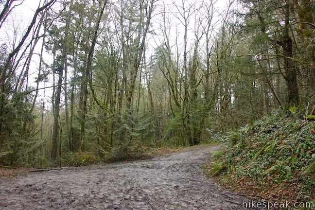
Wildwood Trail comes into view beneath you as Holman Lane drops to an obvious junction. To the right, Wildwood Trail heads toward the Stone House and Lower Macleay Trail, which are 0.45 miles away. Straight ahead, Holman Lane descends 1/8 of a mile to NW Raleigh Street in the Willamette Heights neighborhood below Forest Park (an alternate starting point for this loop).
Turn left up Wildwood Trail to proceed with the hike back to NW 53rd Drive. You will be on Wildwood Trail for the next 1.6 miles, having hiked 0.88 miles from Birch Trailhead.
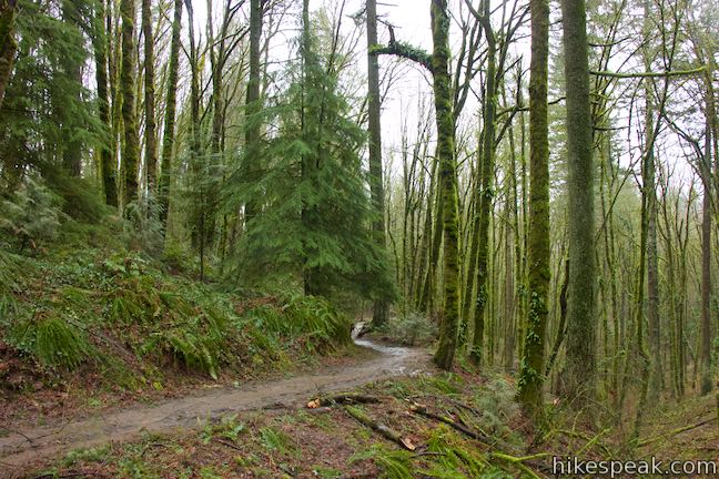
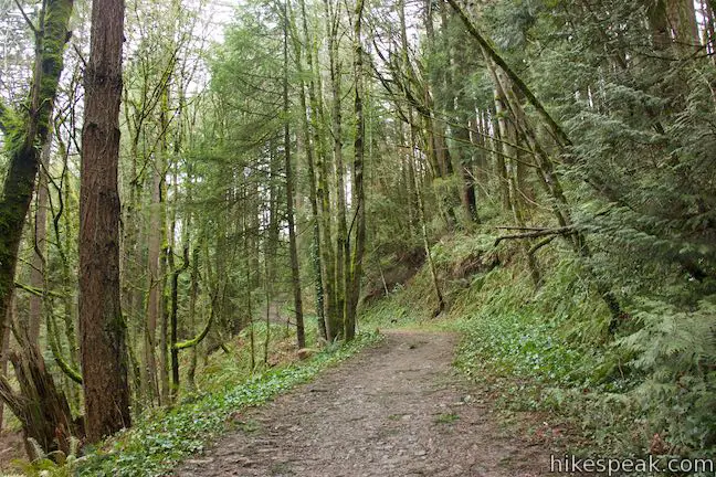
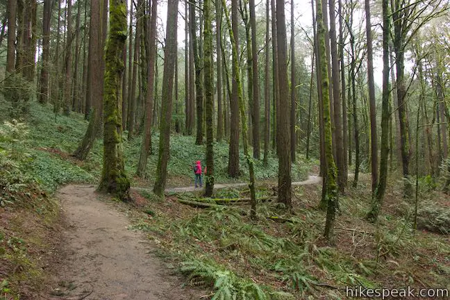
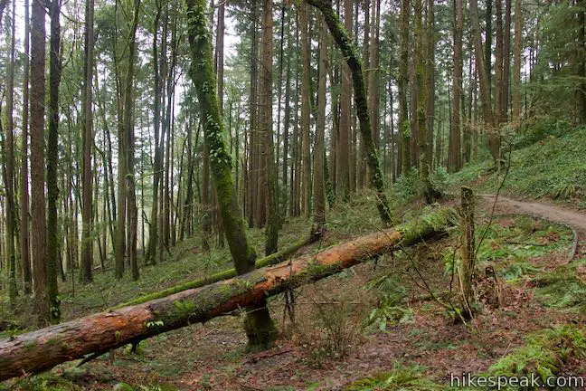
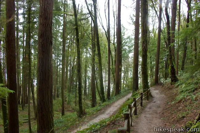
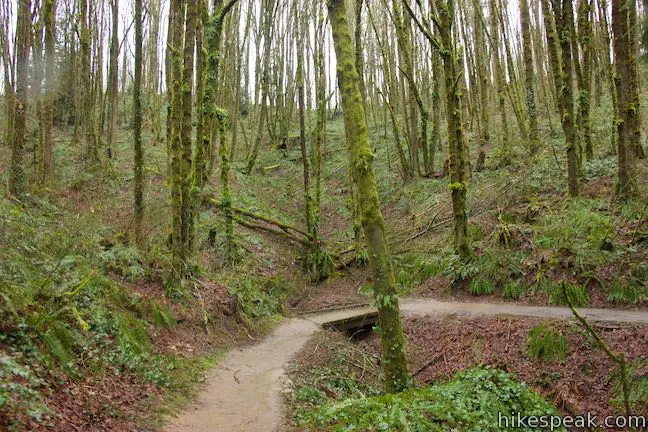
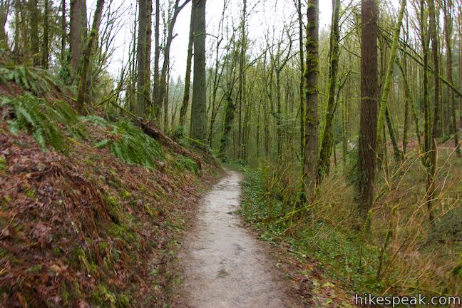
Wildwood Trail goes gradually uphill from Holman Lane, leading north up a crease in the terrain to a short wooden footbridge. The trail exits the draw and crosses a hillside near the edge of Forest Park. Look out through the trees to find obscured views across the Willamette River toward North Portland.
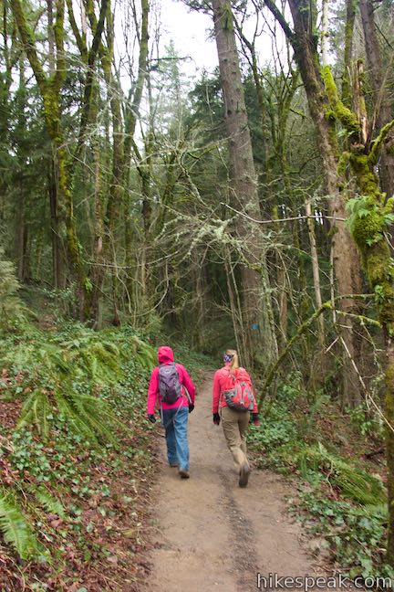
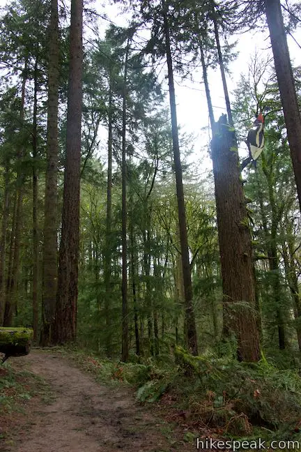
Cross a trio of small bridges, 0.3 miles from Holman Lane, and meander up Wildwood Trail to a junction with Aspen Trail, which descends to the right toward another trailhead accessing Forest Park. Bear left to stick with Wildwood Trail, spotting an enormous man-made woodpecker on a nearby tree trunk.
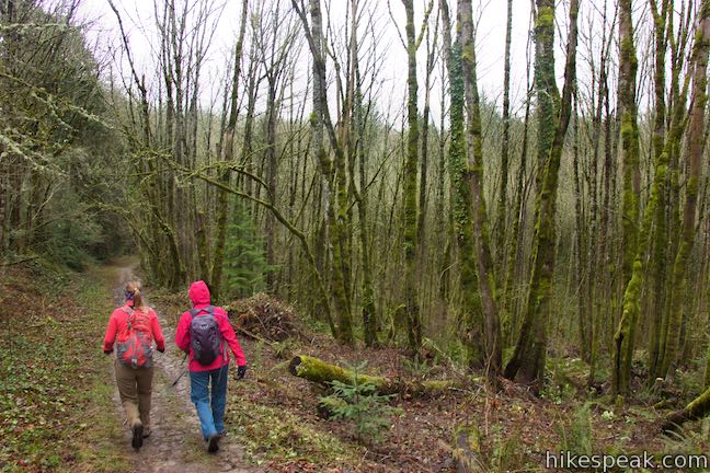
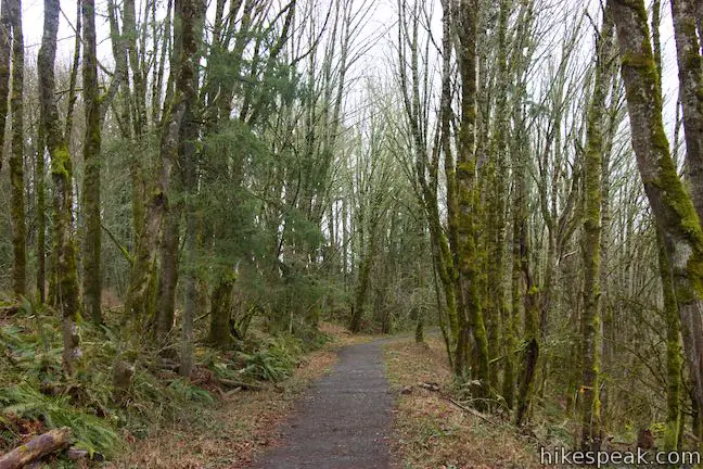
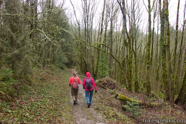
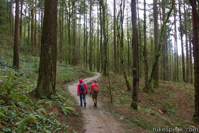
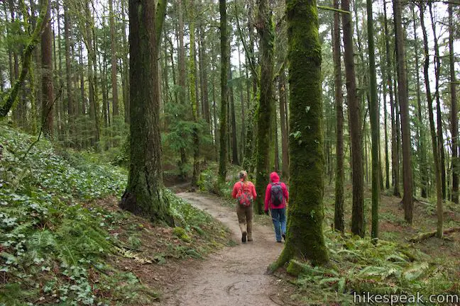
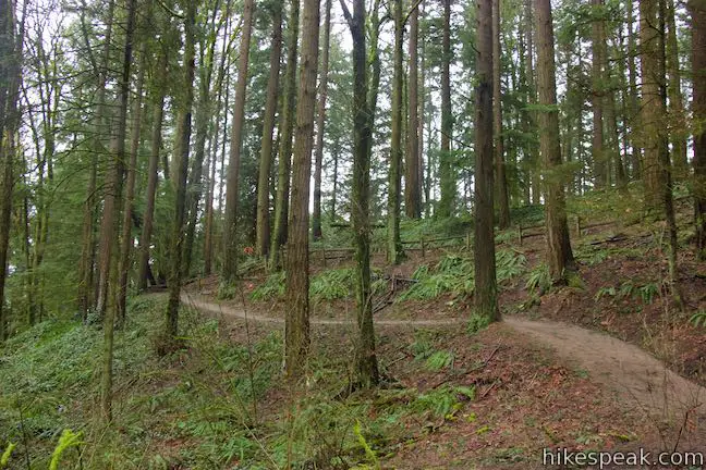
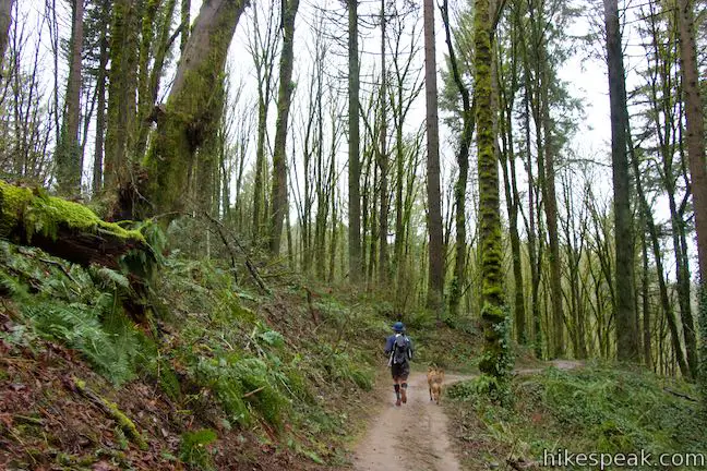
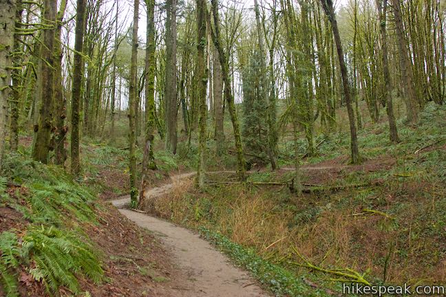
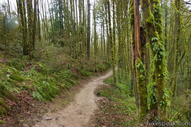
Wildwood Trail heads west from the junction, weaving through a beautiful woodland. The dangling white flowers of Indian plum appear along the loop in early spring, followed later in the season by pops of gold on the ground from yellow woodland violets.
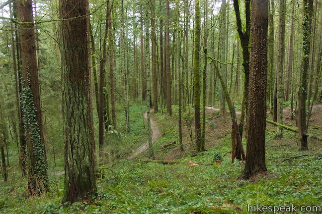
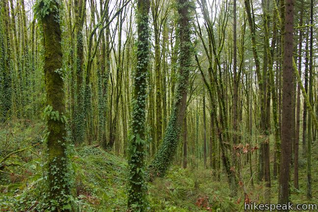
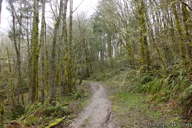
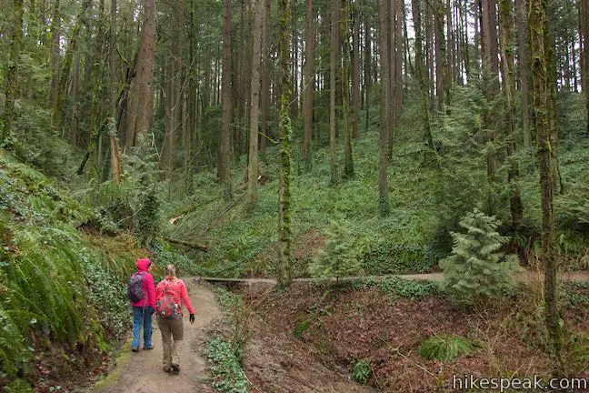
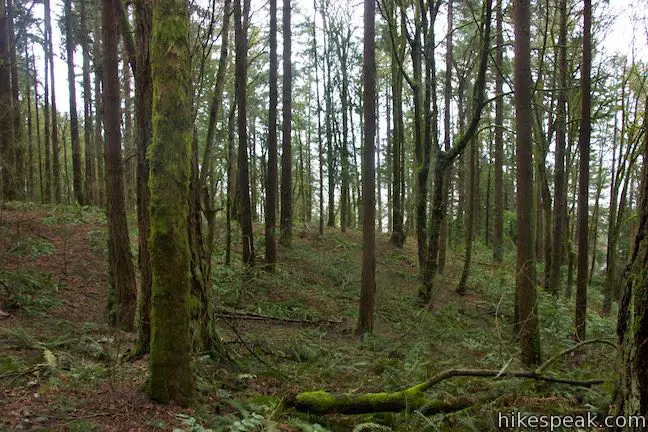
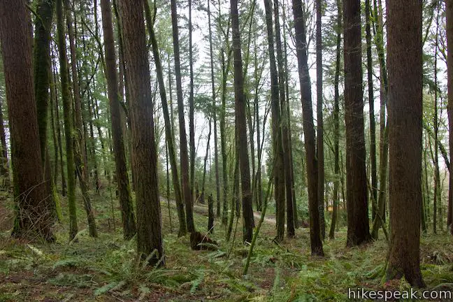
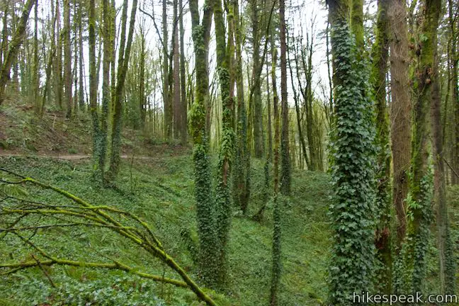
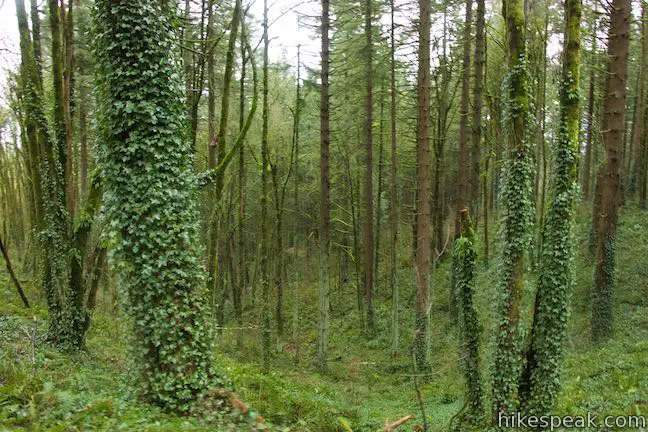
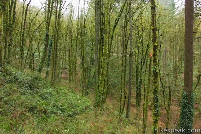
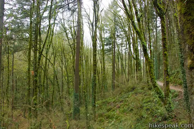
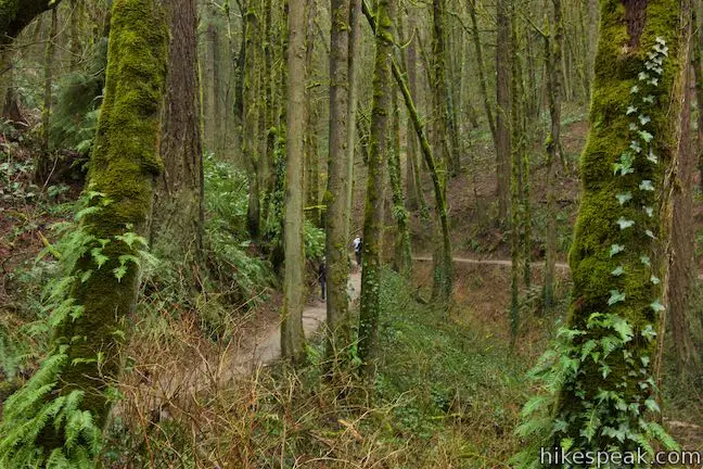
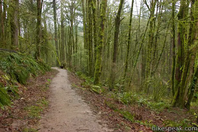
After a moderate ascent, Wildwood Trail slips into a draw, 3/4 miles beyond the junction with Aspen Trail. A short footbridge on the trail crosses a seasonal branch of Thurman Creek. Round a bend to enter a second draw with a stream feeding into Thurman Creek. The trail rises and falls, crossing another crease in the terrain created by a branch of Thurman Creek. Despite the encroachment of ivy, the forest along the trail is lovely, with tall firs dressed in moss and ferns.
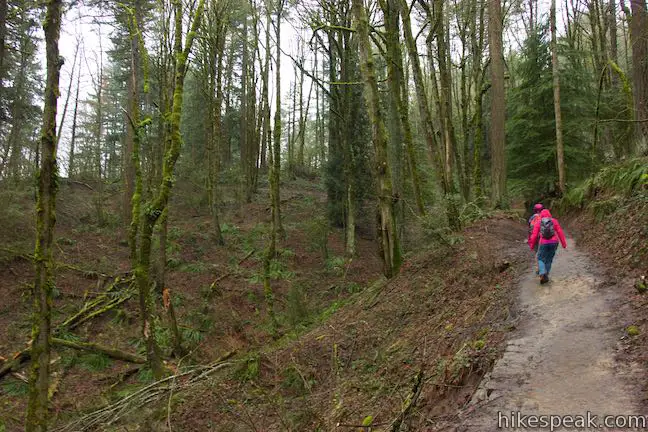
Wildwood Trail ascends from the third branch of Thurman Creek and comes to a junction with Birch Trail. The junction is marked with trail signs and a map of Forest Park. After nearly 2.5 miles of hiking, make a hard left turn up Birch Trail, leaving Wildwood Trail to close out the loop.
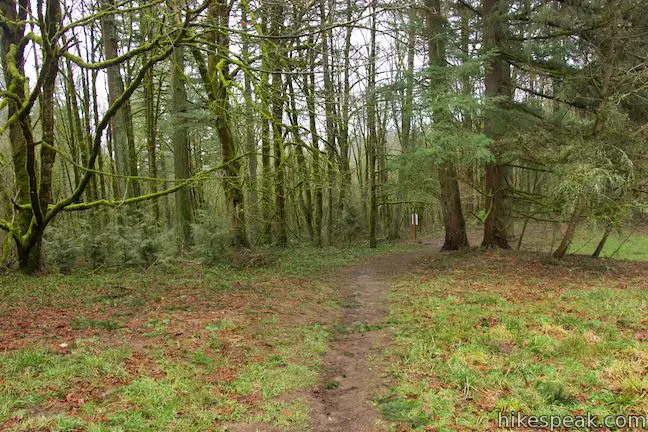
Birch Trail is 0.22 miles long and ascends the final 140 feet to exit Forest Park. Birch Trail rises through red alders, bigleaf maples, and more Douglas firs. At the top of Birch Trail, the single track exits the forest, turns to the right and comes to NW 53rd Drive just across from the parking area.
This combination of Holman Lane, Wildwood Trail, and Birch Trail is 2.7 miles long with 425 feet of elevation change (downhill first and then uphill). Dogs are welcome on leashes, but bikes are not allowed (except going uphill on Holman Lane). Parking at the trailhead is free and no permit is required for this hike in Forest Park, so get out and enjoy!
The basic directions for this loop are:
- Start from Birch Traihead and walk south down NW 53rd Drive (0 miles)
- Turn left up an access road to Holman Lane (0.1 miles)
- Bear right at a split and pass through the Holman Lane Gate (0.18 miles)
- Turn left up Wildwood Trail (0.88 miles)
- Bear left past Aspen Trail, staying on Wildwood Trail (1.32 miles)
- Turn left up Birch Trail (2.48 miles)
- Return to Birch Traihead on NW 53rd Drive (2.7 miles)
For similar circuits in Forest Park, check out Dogwood Trail – Alder Trail Loop and Wild Cherry Trail – Dogwood Trail Loop.
To get to the trailhead: From Interstate 405 in downtown Portland, take exit 3 to head west on Route 30. Drive about half a mile to the first exit for Vaughn Street. The offramp passes over the top of Route 30 and merges with Vaughn Street. Drive a couple blocks west and turn left onto NW 25th Avenue. Drive half a mile south and turn right onto NW Lovejoy Street. In 400 feet, bear right onto Cornell Road. Drive 1.9 miles up Cornell Road and turn right up NW 53rd Drive. Go half a mile up this road and park in one of the spaces on the left across from Birch Trail.
Trailhead address: 1800 Northwest 53rd Drive, Portland, OR 97210
Trailhead coordinates: 45.5336, -122.7332 (45° 32′ 00.95″N 122° 43′ 59.51″W)
View Forest Park in a larger map
Or view a regional map of surrounding Oregon trails and campgrounds.


 | Wild Cherry Trail – Dogwood Trail Loop This 2.5-mile Forest Park hike plots a nice, short, woodland escape by easing down Wild Cherry Trail to Leif Erikson Drive and rising back up Dogwood Trail. |
 | Dogwood Trail - Alder Trail Loop This 2.8-mile hike uses 5 trails (Keil Trail, Dogwood Trail, Leif Erikson Drive, Alder Trail, and Wildwood Trail) to form a lovely woodland loop in Forest Park. |
 | Wild Cherry Trail - Alder Trail Loop This 3.5-mile circuit explores more of woodland beauty in Forest Park. |
 | Lower Macleay Trail to Stone House This 1.8 to 2-mile hike starts by following Balch Creek to fern-covered ruins and can finish with a loop that exits Forest Park and passes through the Willamette Heights Neighborhood in Northwest Portland. |
 | Lower Macleay Park to Pittock Mansion This 5.4-mile hike in Forest Park takes Lower Macleay Trail to the Stone House ruins and ascends Wildwood Trail to Pittock Mansion, bagging a big view over Portland. |
 | Cornell Road to Pittock Mansion This 2.5-mile hike on Wildwood Trail and Upper Macleay Trail in Forest Park goes up a wooded hillside to Pittock Mansion, a landmark with panoramic views over Portland. |
 | Marquam Nature Park Hike through peaceful forest in a pocket of Portland's West Hills on a 1.3, 3, or 4.25-mile loop. |
 | George Himes Trail This short lollipop loop ascends into Portland's West Hills for a woodland walk with a view of Mount Hood. |
 | Trillium Trail in Tryon Creek State Natural Area This short nature trail is packed with plant-identifying panels as well as benches and viewing platforms. |
 | Two-Mile Loop in Tryon Creek State Natural Area Combine Old Main Trail, Red Fox Trail, Cedar Trail, Middle Creek Trail, and Maple Ridge Trail to loop through rolling woodland and across 3 bridges. |
 | Tualatin Hills Nature Park This 2.1-mile hike on Vine Maple Trail, Old Wagon Trail, and Oak Trail loops through forests and wetlands in a pocket of wilderness on the west side of Beaverton. |
 | Powell Butte This 2.15-mile lollipop loop combines Mountain View Trail and Summit Lane to explore the top of Powell Butte and its big views from Southeast Portland. |
 | Trails in Oregon Explore more hikes in Oregon outside Greater Portland. |
Go the extra miles...
Submit a rating of this hike to go with your comment. Contribute to the average trail rating.