Heaps Peak Arboretum
in the San Bernardino Mountains
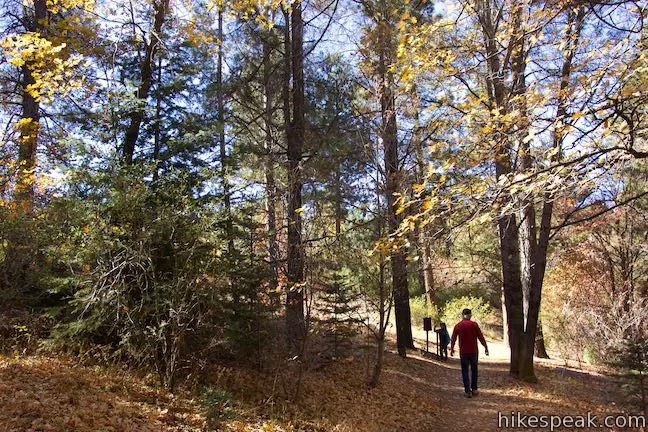
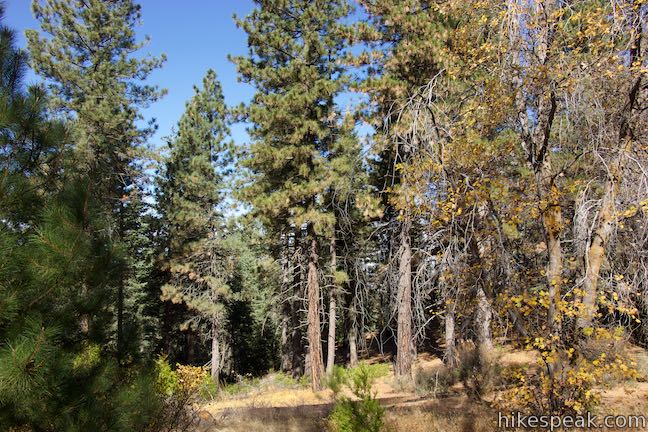
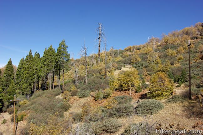
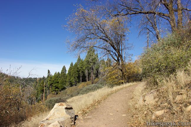
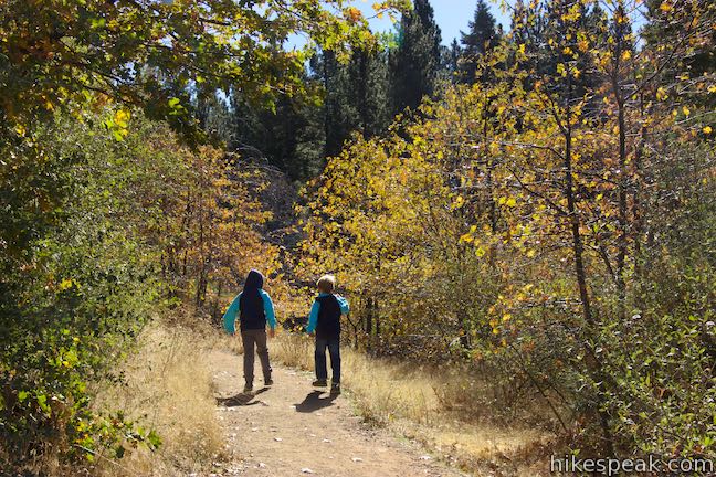
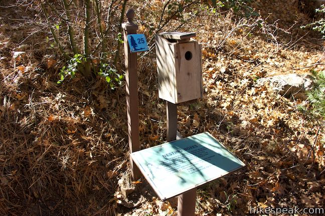
Get to know the plants, animals, and natural history of Southern California at Heaps Peak Arboretum. Located near Lake Arrowhead, the arboretum is a developed piece of San Bernardino National Forest. Sequoia Trail is the main trail through Heaps Peak Arboretum, covering 3/4 of a mile with 90 feet of elevation change. The star of the trail is a planted grove of sequoiadendron giganteum, or what us non-Latin speakers call giant sequoias. Sequoia Trail offers insights on other trees, like quaking aspen, incense cedar, dogwoods, firs, and several varieties of pine. Numbered marked along the trail correspond with 25 entries in a provided pamphlet that makes Sequoia Trail informative and a bit entertaining. Tack on the adjacent Footprint Trail to see wildflowers, learn about wildlife, and extend the outing by a tenth of a mile.
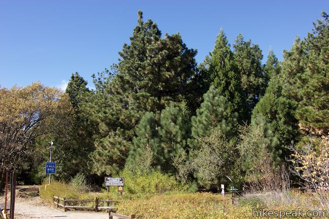
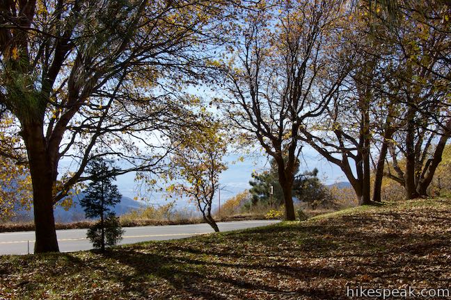
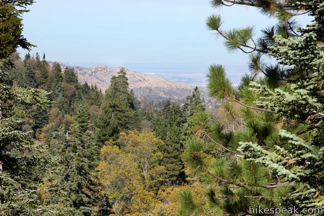
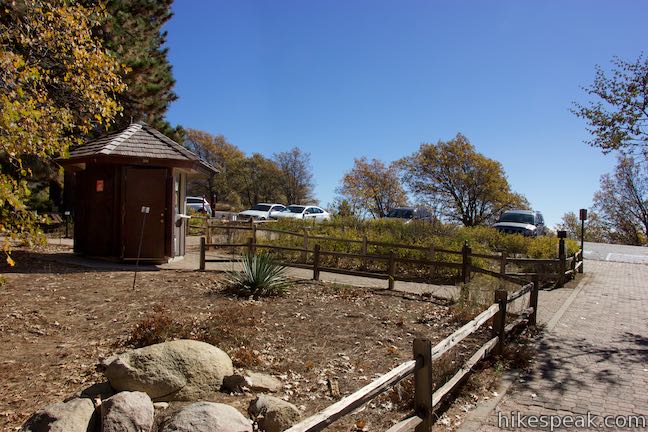
Make your way up Rim of the World Highway to Heaps Peak Arboretum, which is just past Skyforest and Lake Arrowhead, perched in a mixed forest at 6,000 feet above sea level. Appreciating the elevation is easy because you can look right out from the mountains down to San Bernardino, nearly 5,000 feet below. Step up to an entrance booth and pick up a trail guide for Sequoia Trail. You may find a ranger in the booth who can provide even more information about the arboretum.
Footprint Trail
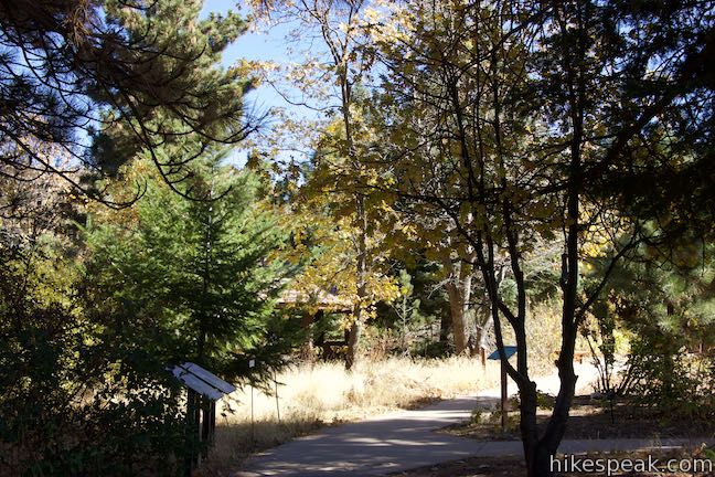
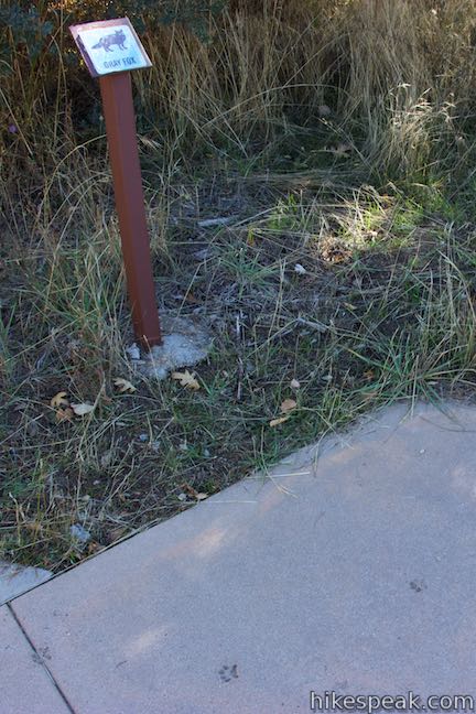
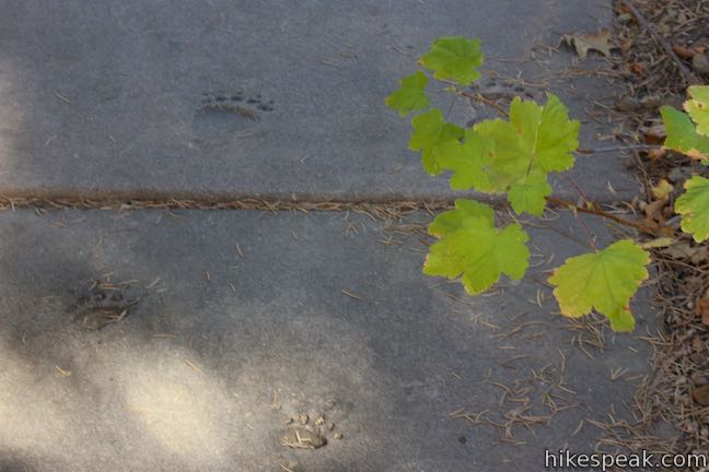
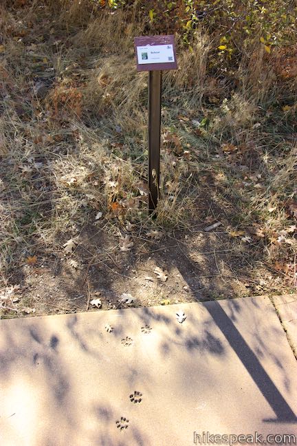
Footprint Trail starts from the right side of the booth. This short paved path has animal tracks pressed into the concrete. These “footprints” are joined by markers telling you whether a gray fox, bobcat, or ground squirrel would produce such a print.
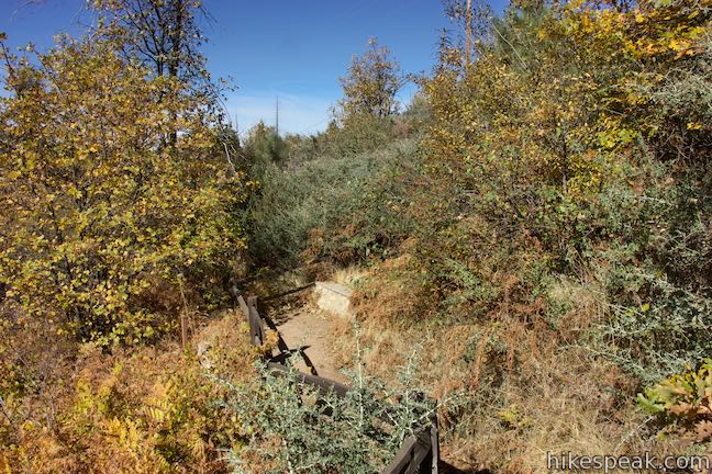
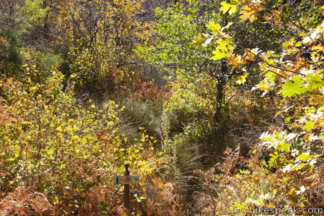
This short trail includes an even shorter loop around meadow gardens where wildflowers, like showy penstemon, crimson columbine, fleabane, splendid gilia, evening primrose, and common yarrow bloom in the spring and summer. At the end of Footprint Trail, you will come to a junction with Sequoia Trail. Turn right if you want to read the trail guide like a countdown with numbered markers going in reverse. Otherwise, turn left toward the start of Sequoia Trail. Walk back toward the parking area, coming immediately to a junction. Turn right, following signs for the bathroom to find the first marker along the trail.
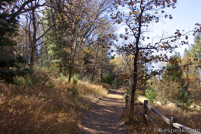
Sequoia Trail
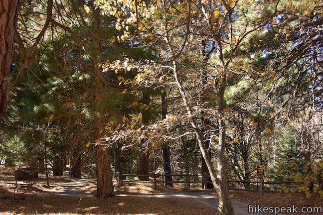
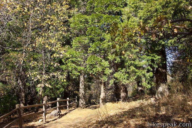
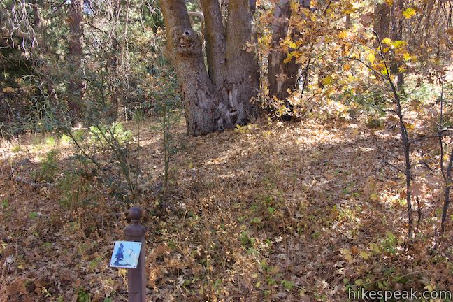
To start out on Sequoia Trail, walk in from the parking area on the trail on the left (west) side of the entrance booth. After 50 yards, you’ll come to a junction where the loop begins. Turn left, following signs for Sequoia Trail and the restrooms. A block of toilets is 0.05 miles up the trail from the junction. Before you reach it, you’ll actually pass the first marker beside an Arizona cypress. If that doesn’t sound like a native tree, that’s because it was planted here as an unnatural introduction.
Just past the bathrooms, find a marker by a tall Coulter pine and a display case containing a football-sized pine cone. The corresponding entry in the trail guide explains that:
The Coulter pine has the largest pine cones in the world – up to 8 pounds!

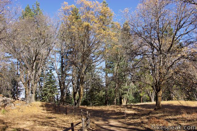
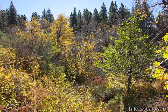
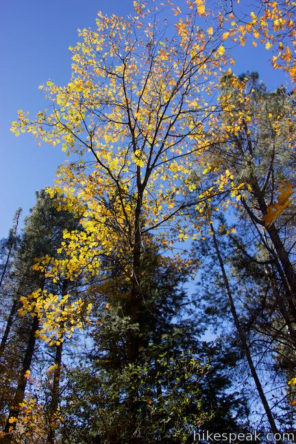
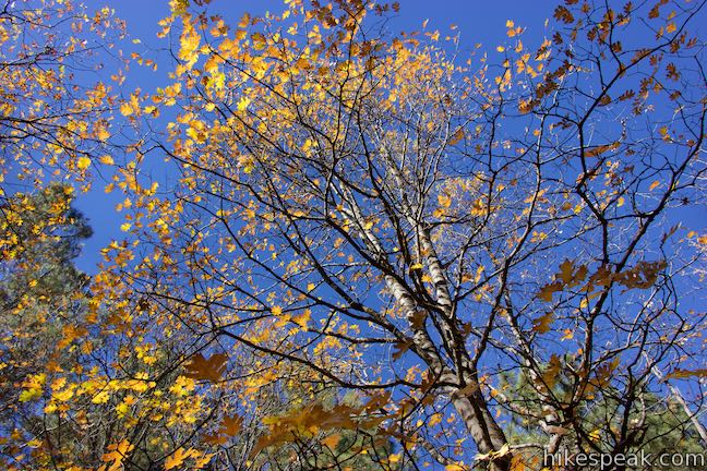
Continue up the trail through incense cedars and black oaks. The fourth marker is posted by a black oak with an expansive spread of branches. The leaves on this deciduous tree change color and fall off in the autumn, unlike the pines and firs along the loop that keep their needles year-round. Acorns from black oak trees where an important food source for the Serrano Indians, who peeled and grounded the acorns into meal.
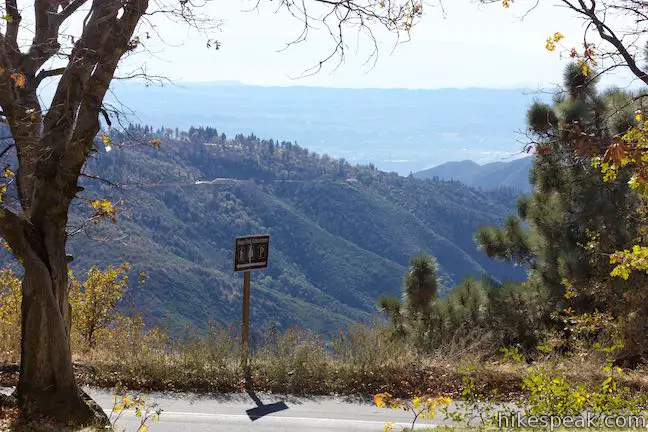
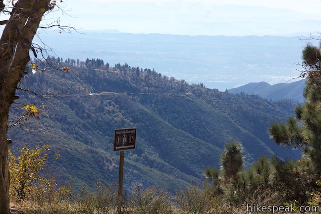
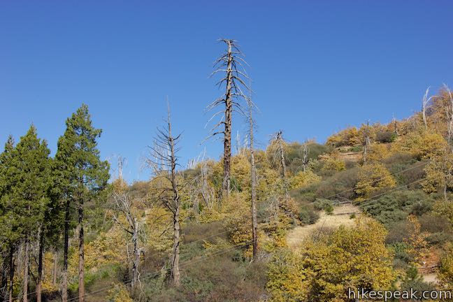
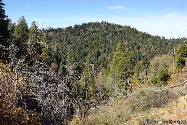
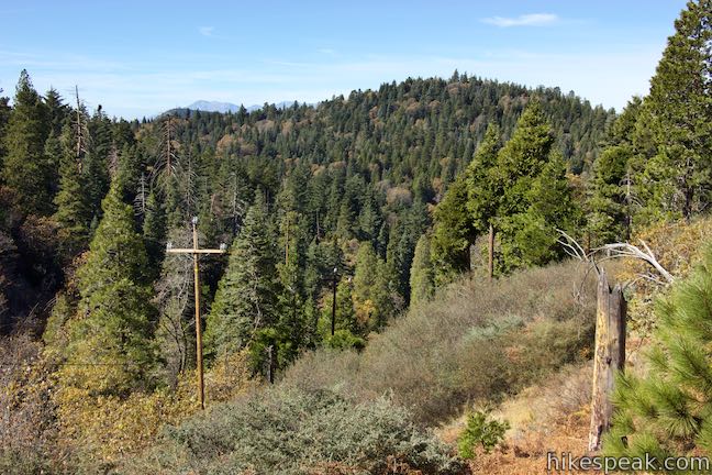
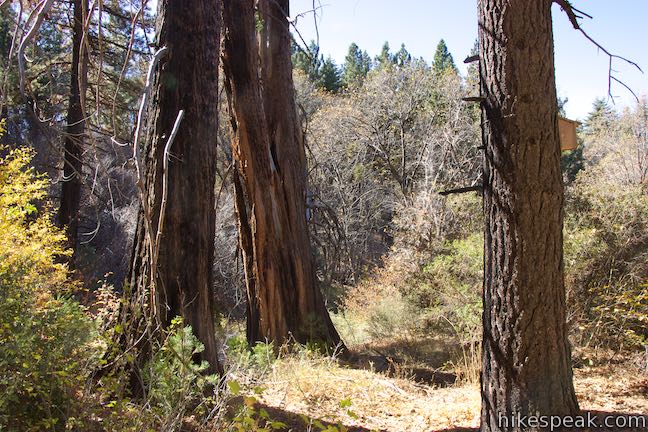
As you round past the next marker, look across Rim of the World Highway (Highway 18) and down over the hazy valley below. Turn your back on the cities and continue on to the next marker, positioned by blackened tree trunks that were burned by the Old Fire in 2003.
Notice how even though the trunks are scorched, the trees are still alive. Trees that live in this area have many adaptations that help them survive periodic wildfires. However, young trees are much more susceptible to being killed by fires. Periodic fires can help thin out small trees and keep the forest healthy.
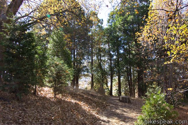
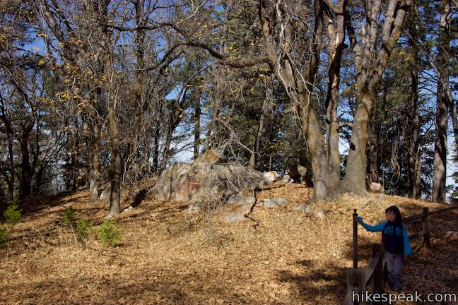
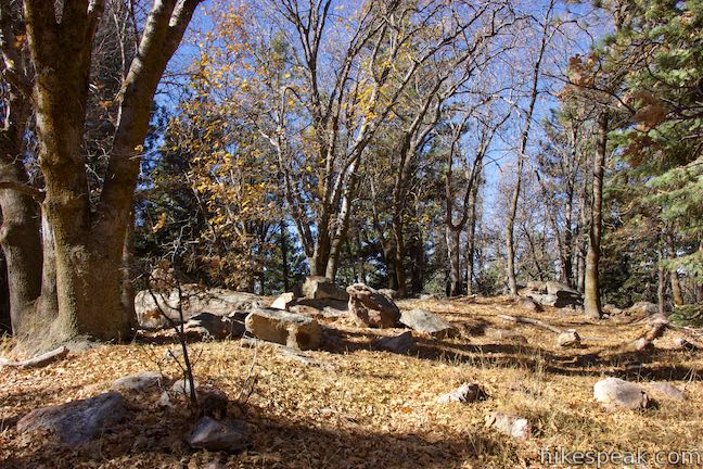
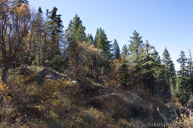
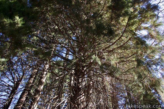
Weave your way along the loop past an outcropping of granite boulders to a marker by a white fir tree. The tree’s short needles have a white stripe on the underside and are attached directly to the branches, not attached in clusters like the Coulter pine, which had long needles in sets of three.
Hike downhill past sugar pines, which are the world’s tallest species of pine. While not as heavy as cones from Coulter pines, sugar pines have the longest pine cones in the world, capable of reaching lengths of 22 inches!
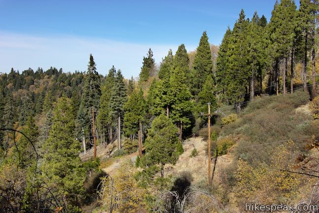
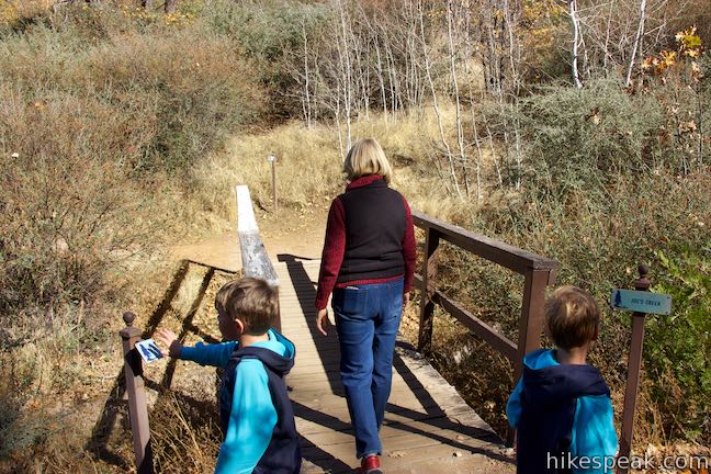
Come down the trail to a footbridge over Joe’s Creek, 0.35 miles from the start. Entry 15 in the trail guide explains that Joe’s Creek runs seasonally, so you may not see any water under the bridge. This is the lowest point of the hike. After crossing the bridge, you will hike uphill with broader views over the forest and snags (standing dead trees) that were charred by the Old Fire.
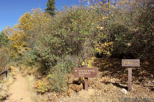
Half a mile into the hike, you will come to a junction. To the left, a short spur extends to Horseshoe Springs, a natural seep where water finds its way from the aquifer up to the surface.
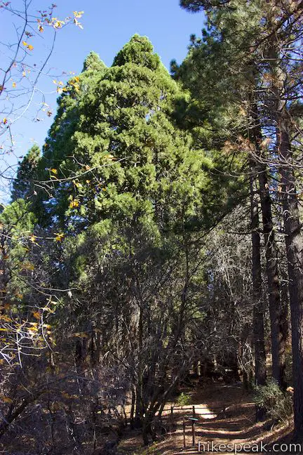
Return to the junction and continue up the loop through brush and young oaks into a stand of Jeffrey pines. These pines aren’t the tallest in the world and don’t have the biggest pine cones. They are quickly overshadowed by what the trail offers next.
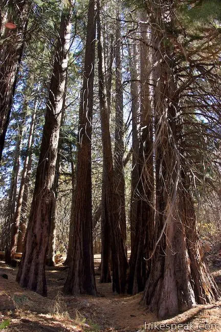
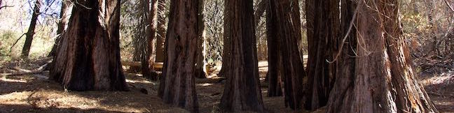
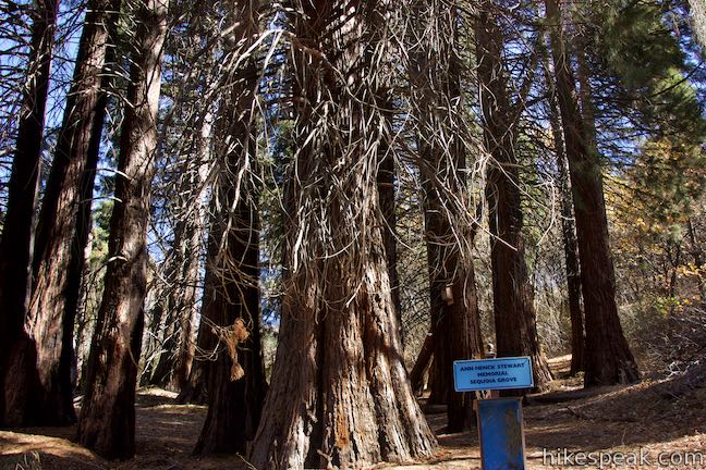
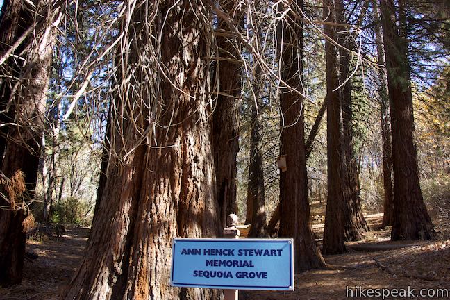
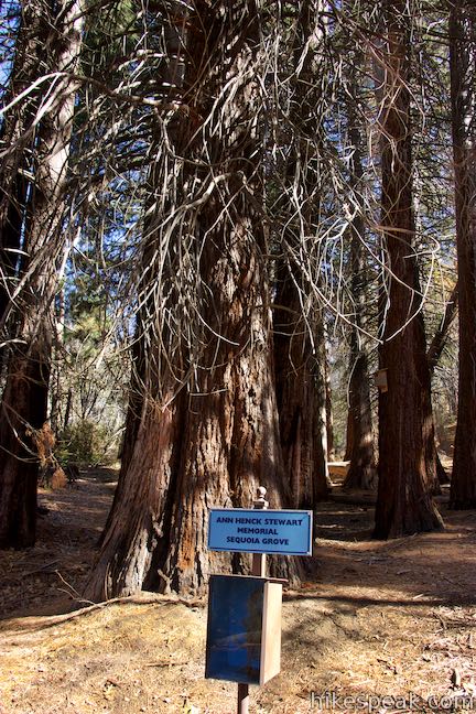
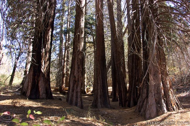
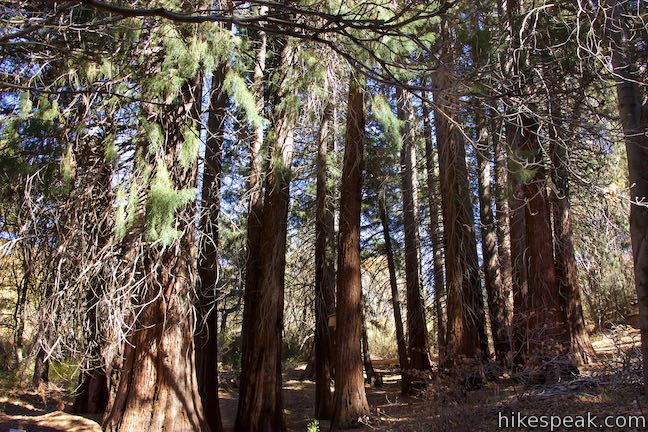
After 0.6 miles of hiking, step into Ann Henck Stewart Memorial Sequoia Grove. These giant sequoias are much smaller than the General Sherman Tree, the General Grant Tree or any of the other more-than-thousand-year-old sequoias in the Sierra Nevada Mountains to the north. Sequoias do not grow naturally in the San Bernardino Mountains and these were planted in the 1930s. The Sequoias seem to have taken to this environment through. After the Old Fire, sequoia seeds germinated and a young growth of sequoias sprouted up. The sequoias might be grand, but their pine cones are tiny compared to the Coulter pine cones.
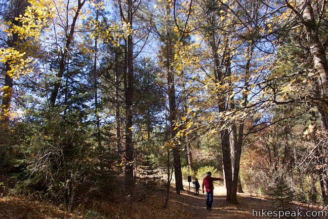
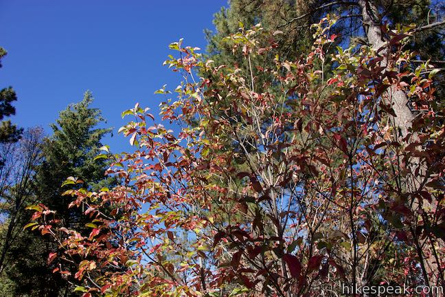
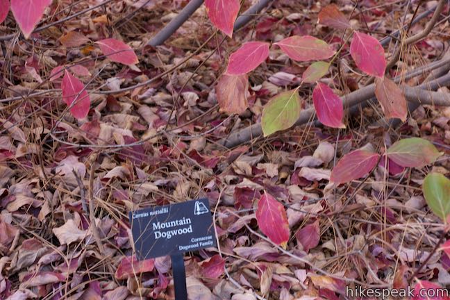
Three markers remain over the last section of the trail. Hike through dogwoods that can be more impressive than the sequoias at the right time of year. In the spring, the trees sprout white leaves that look like flowers. In the fall, the dogwood leaves change color, turn red, and fall. Enjoy the dogwoods and close out the hike.
Pass a junction with Footprint Trail on the left and a junction with the start of Sequoia Trail on the right to continue walking straight back to the parking area. Give yourself at least thirty minutes to complete this short hike and read the 25 entries in the trail guide. A National Forest Adventure Pass is required to park at Heaps Peak Arboretum, but no permit is needed to walk Sequoia Trail. Leashed dogs are welcome.
To get to the trailhead: From the 210 Freeway in San Bernardino, take exit 76 for Waterman Avenue (Highway 18). Drive north on Waterman Avenue, which leaves the city after 2 miles and becomes Rim of the World Highway. Heaps Peak Arboretum is on the left, 20.6 miles from the 210 Freeway. When you pass Route 173, which goes down to Lake Arrowhead, it is another 2.5 miles on Highway 18 to Heaps Peak Arboretum Day Use Area.
Trailhead address: Heaps Peak Arboretum Day Use Area, Rim of the World Highway (Highway 18), Skyforest, Crestline, CA 92385
Trailhead coordinates: 34.2338, -117.1606 (34° 14′ 01.68″N 117° 09′ 38.16″W)
View San Bernardino Mountains in a larger map
Or view a regional map of surrounding Southern California trails and campgrounds.
 | Heart Rock This 1 to 1.4-mile round trip hike follows a mountain stream to an overlook of an amazing heart-shaped formation in the rock wall along Seeley Creek Falls. |
 | Marshall Peak This 3.25-mile round trip hike reaches a panoramic summit above the foothills of the San Bernardino Mountains. |
 | Towne Trail This 2 2/3-mile round trip hike takes a gradual course across the mountains on the south side of Big Bear Lake. |
 | More hikes in Southern California Explore other trails in Orange, Riverside, San Bernardino, and San Diego counties. |
A website for Heaps Peak Arboretum from Rim of the World Interpretive Association
Heaps Peak Arboretum in San Bernardino Mountain Trails by John W. Robinson
Heaps Peak Arboretum on nobodyhikesinla.com
Heaps Peak Arboretum on theoutdoorsbetty.wordpress.com
Heaps Peak Arboretum on gohikeit.com
Heaps Peak Arboretum on calflora.net
The official national forest webpage for Heaps Peak Arboretum
Go the extra miles...
Submit a rating of this hike to go with your comment. Contribute to the average trail rating.