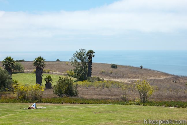
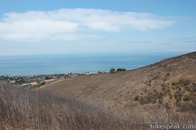
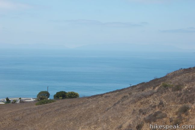
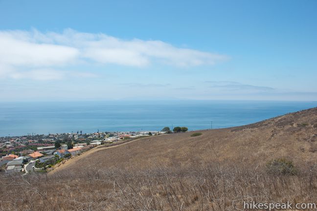
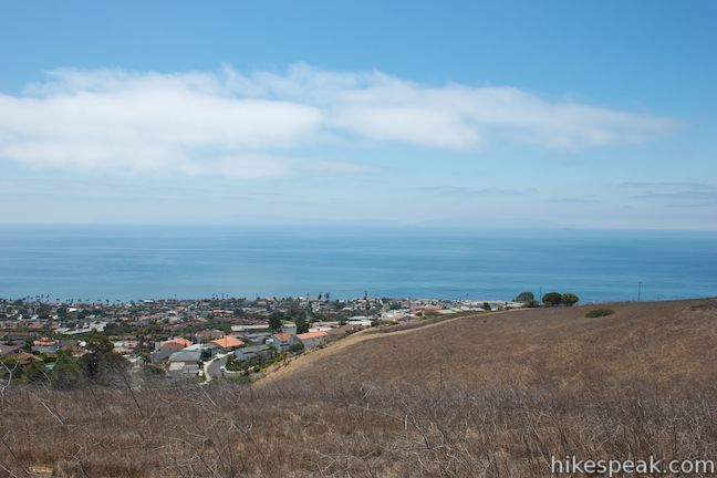
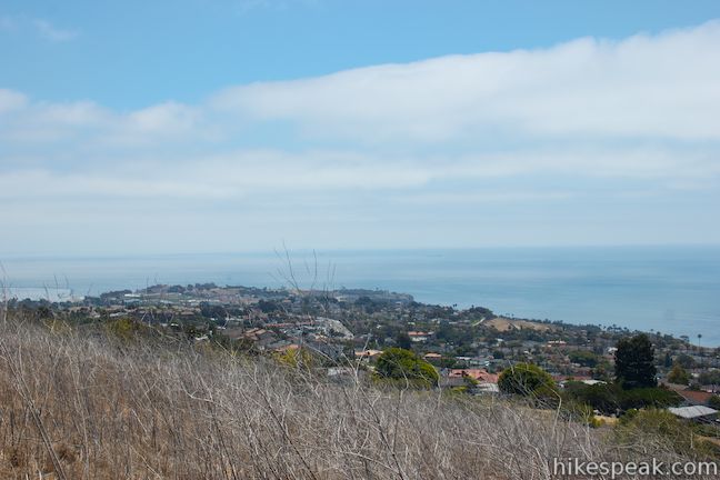
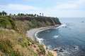
Perched atop a hill on the south side of Palos Verdes Peninsula, Deane Dana Friendship Park offers hikers panoramic ocean views on an easy 1.1-mile loop. While exploring the 123-acre park, the hike gains 200 feet to views west across the Pacific Ocean toward Catalina Island and around the south end of the peninsula toward Long Beach Harbor to the east. If you’re looking for a short hike with practically non-stop ocean views, you’ll become fast friends with this Los Angeles County Regional Park.
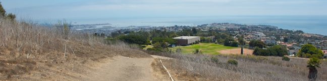
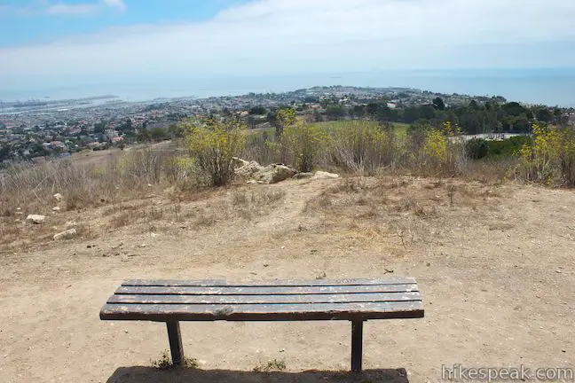
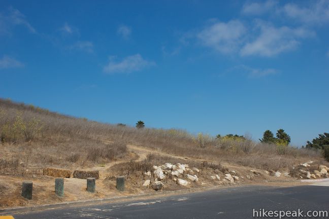
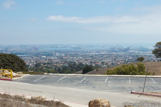
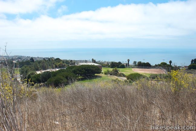
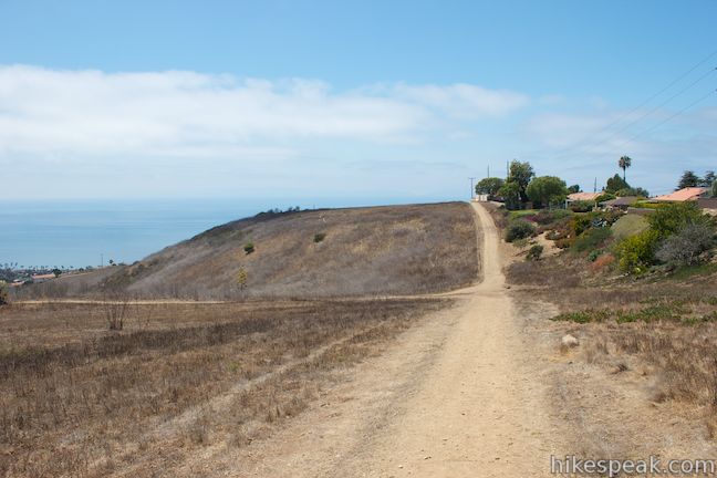
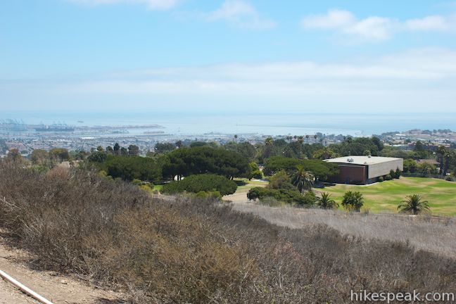
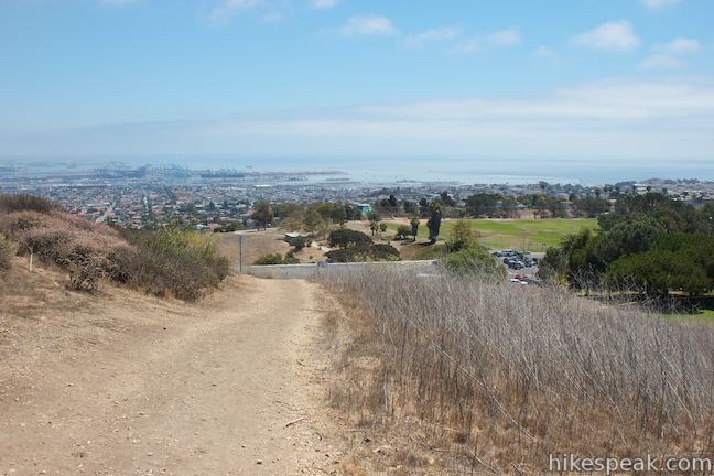
There are a few ways to begin hiking in Friendship Park. One easy place to start is the large parking area outside the sports complex at the end of Friendship Park Drive. Locate the dirt trail ascending the hillside to the northwest and get going. Hike straight up the hill for a fast start, gaining 125 feet in the first eighth of a mile to a bench at a scenic perch (you can hike this loop in reverse for a more gradual ascent). On the way up, proceed straight through a junction on the left (the return route for this loop) and a junction on the right (past a trail that descends to the park nature center). When you reach the bench, catch your breath and enjoy views back toward the ocean to the south and inland toward the busy Port of Long Beach.
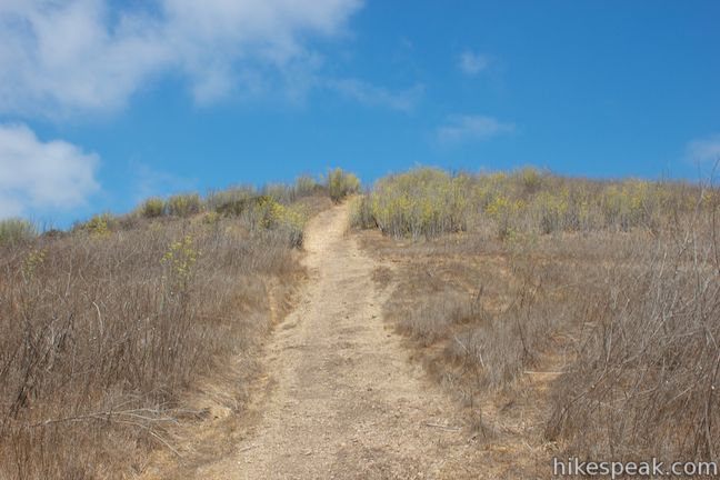
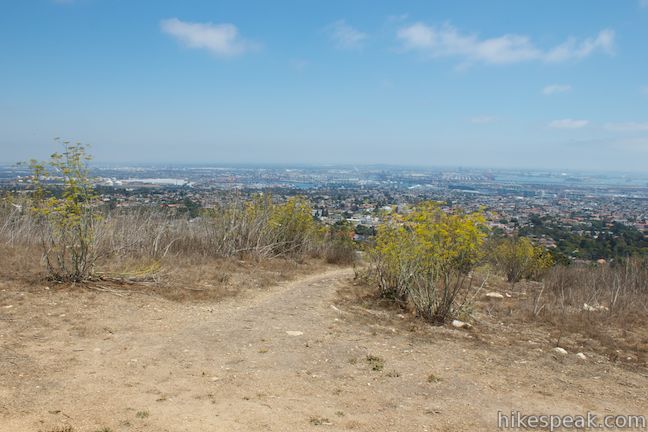
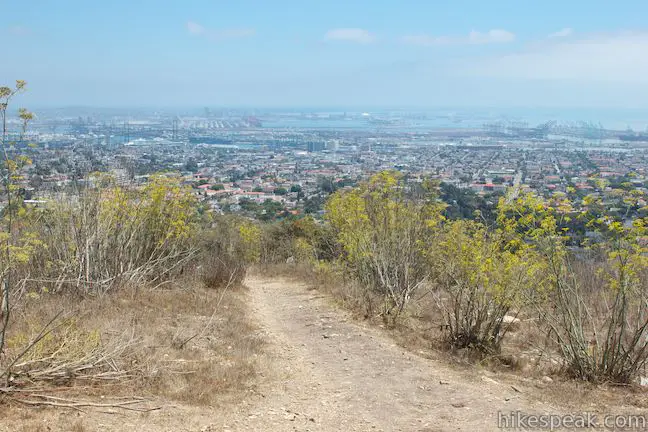
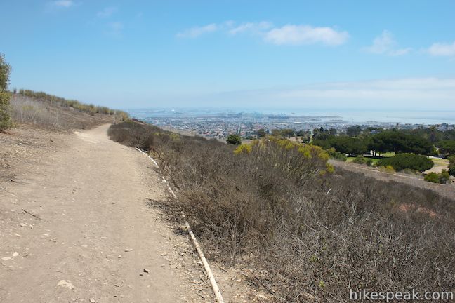
A 4-way junction by the bench lets hikers choose between a few trails that eventually come back together. To the left, a dirt track continues up the top of the rounded ridge. If you hike this way, turn right at the next split to rejoin the loop around the park. To the right, a track cuts through the brush, quickly rejoining the main trail, which continues straight north from the bench.
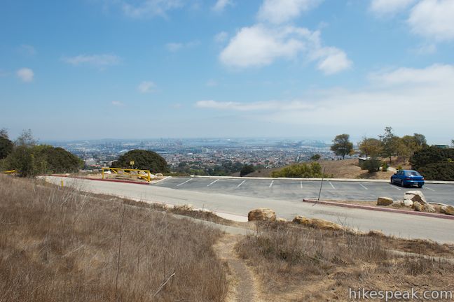
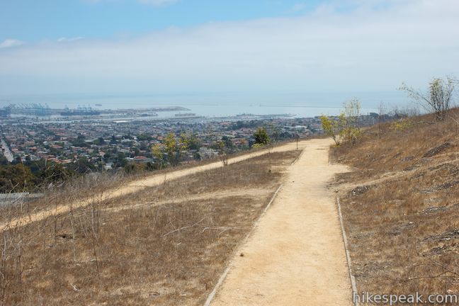
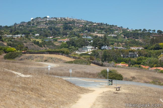
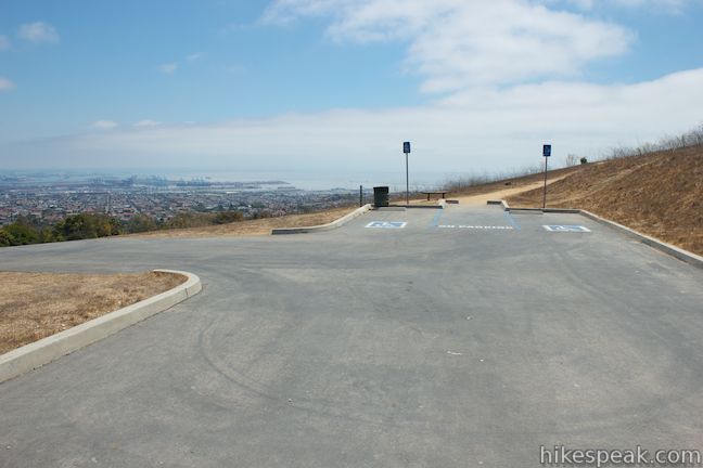
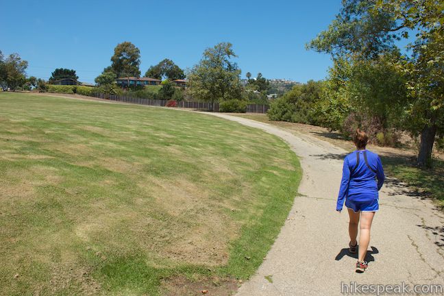
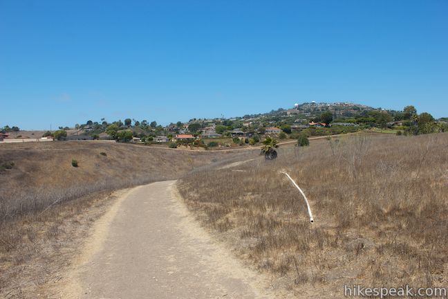
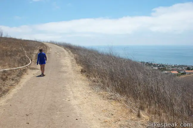
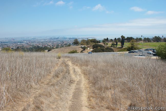
Hike straight from the bench down a wheelchair accessible portion of the trail, gradually descending through an exaggerated switchback to a handicapped parking area along a paved park road. Turn left up the road, which is a paved section of Fowler Trail.
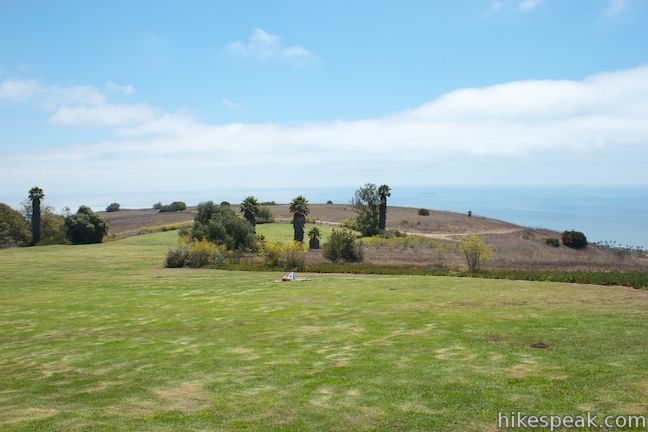
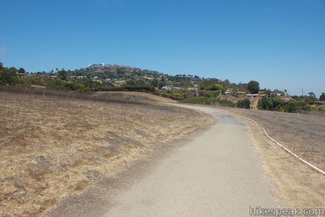
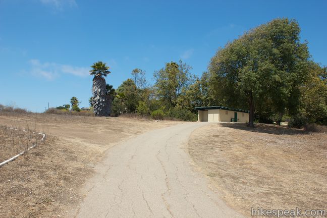
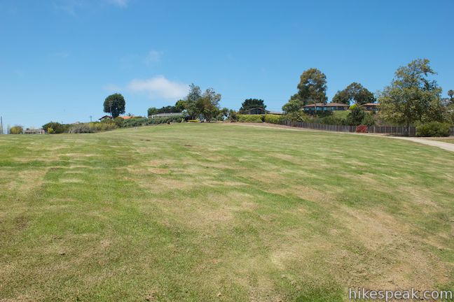
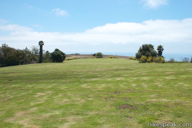
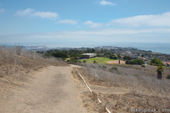
After almost 0.2 miles on pavement, hike straight past a dirt trail on the left, which connects to the trail that went straight up the ridge from the bench. Curving to the right, the road passes a bathroom to reach a large green field at the top of the park. Walk up and around to the lawn, where you will meet the end of Calle Aventura and the neighborhood at the top of the park. Turn left before you reach the street, following a dirt trail down the northwestern boundary of the park.
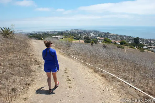
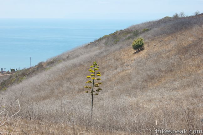
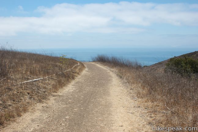
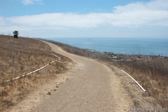
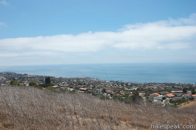
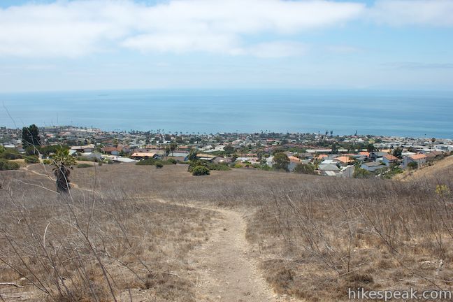
Descend to the next junction, where you could go straight to extend the hike out to an overlook. To continue with the loop, turn left, crossing the top of a draw in the hillside with ocean views southwest toward Catalina Island. Make a pair of right turns to stick with the main trail as it wraps around the side of the hill and returns to the start. You will have ocean views to the west and south all the way!
You are welcome to reverse the direction of this short hike to avoid the steep ascent at the start. However, this will put more of the ocean views over your shoulder. Leashed dogs are welcome in Deane Dana Friendship Park, but the park is not suitable for mountain bikes. No fee or permit is required to visit Friendship Park or hike this loop, so get out and enjoy!
To get to the trailhead: From Los Angeles, take the 405 or 110 Freeway south to the 405-110 interchange near Carson. Continue south on the 110 Freeway for 8 miles to the end of the freeway. Turn left on Gaffey Street, and make the third right on First Street. After one mile, turn left on Western Avenue (Route 213) and drive 0.7 miles south to Ninth Street. Turn right on Ninth Street and make an immediate left onto Friendship Park Drive. You will spot a sign for Friendship County Regional Park at the bottom of the road. Drive 0.3 miles up the road to an intersection inside the park. Turn left to quickly reach a parking area near fields for baseball and soccer. The trail begins from the northwest side of the lot. To reach the handicapped parking area, turn right at the top of Friendship Park Drive.
Trailhead address: 1805 West 9th Street, San Pedro, CA 90732
Trailhead coordinates: 33.731209, -118.319147 (33° 43′ 52.35″N 118° 19′ 08.92″W)
You may also view a regional map of surrounding Los Angeles trails and campgrounds.
 | White Point Nature Preserve This 1 to 2.5-mile hike explores an open space containing a military bunker built to defend the west coast during World War II. |
 | Quarry Loop This short loop in Forrestal Nature Reserve delivers lots of ocean views as it circles an old bowl-shaped quarry. |
 | Portuguese Bend Reserve This 5.15-mile double loop explores the scenic coastal hillsides and canyons in Portuguese Bend Reserve on the Palos Verdes Peninsula and can easily be shortened to 3 miles round trip by omitting the lower loop. |
 | Seascape Trail This level family-friendly 1.5-mile hike explores scenic coastal bluffs north of the historic Point Vicente Lighthouse. |
 | Lunada Canyon Trail This short trail explores an overgrown canyon between two residential ridges inland of Lunada Bay. |
 | More trails in the Los Angeles Explore other destinations in the Santa Monica Mountains, San Gabriel Mountains, and elsewhere. |
Go the extra miles...
Submit a rating of this hike to go with your comment. Contribute to the average trail rating.