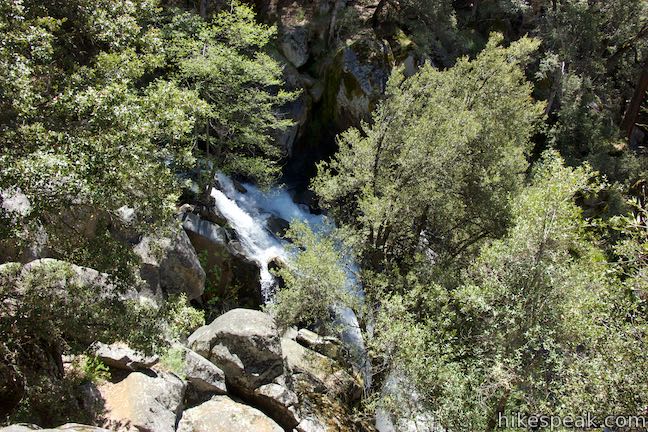
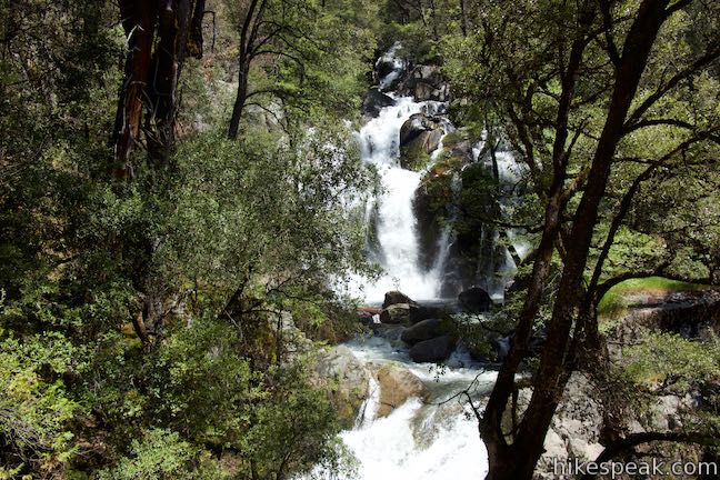
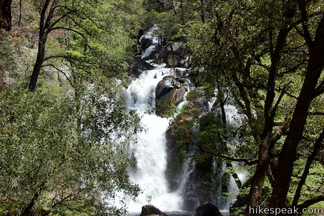
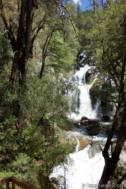
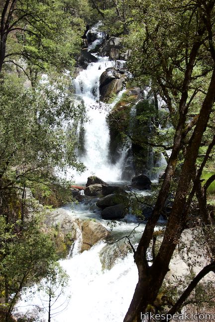
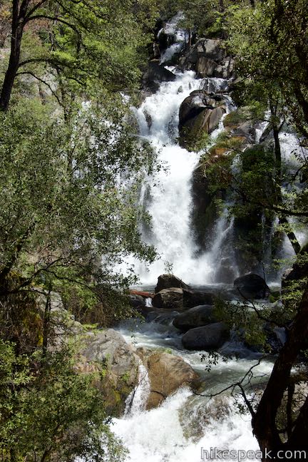
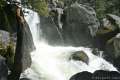
Yosemite National Park’s waterfalls are the most famous in the Sierra, but they aren’t the only gushers around. Falling close to the south entrance of Yosemite National Park is Corlieu Falls in Sierra National Forest. Heralded as the tallest waterfall Madera County, Corlieu Falls is an enthusiastic cascade, with several tiers dropping around 150 total feet. The hike down Lewis Creek Trail to Corlieu Falls begins conveniently right from the side of Highway 41 near Oakhurst, making it an easy stop on a drive into Yosemite.
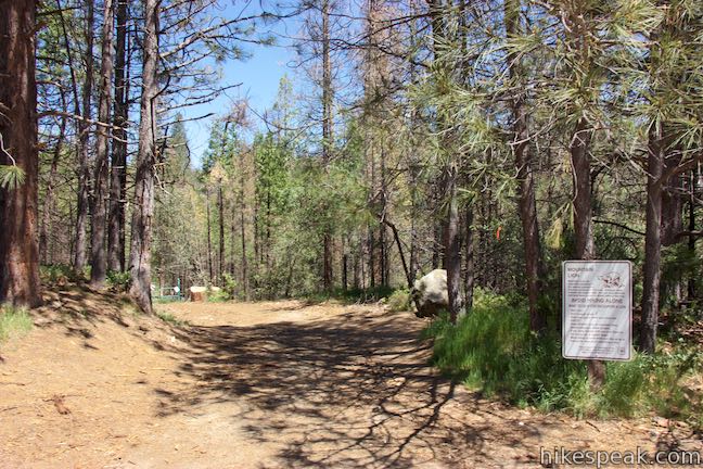
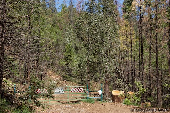
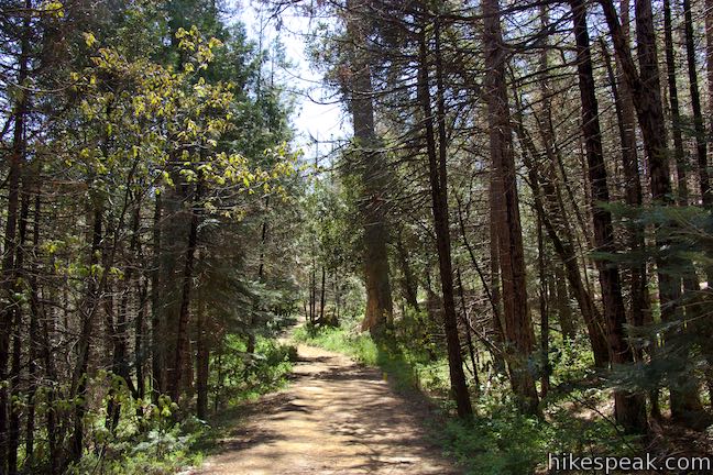
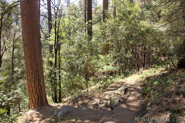
Start from a paved turnout on the east side of Highway 41 (7.3 miles north of Oakhurst). Set out down the wide trail at the north end of the turnout to the left of a mountain lion warning sign (the path to the right of the sign presents a steeper shortcut). Pass around a gate near the top of the trail.
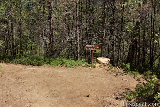
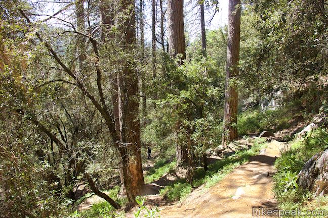
After a tenth of a mile, the wide trail comes to a signed T-junction. To the left, Lewis Creek Trail heads north toward Red Rock Falls. Turn right to follow the trail downstream toward Corlieu Falls. You will quickly pass the bottom of the shortcut path as the trail heads southeast along Lewis Creek (also known as the Lewis Fork of Fresno River). Along with Shadow of the Giants Trail, Lewis Creek Trail is one of two National Recreation Trails in the Bass Lake Ranger District of Sierra National Forest.
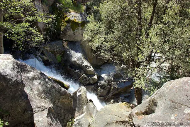
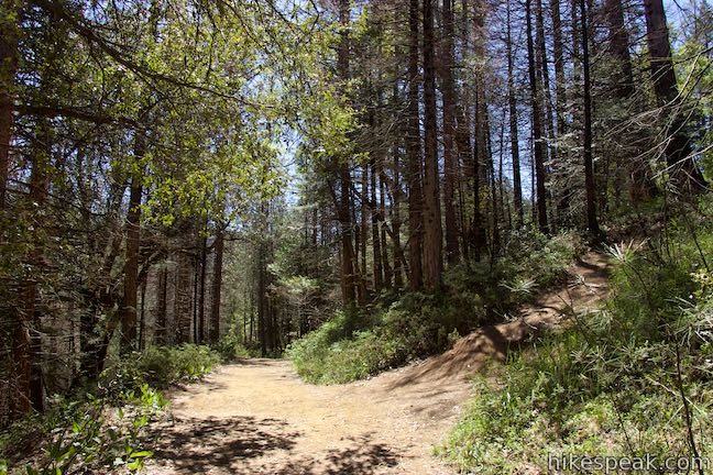
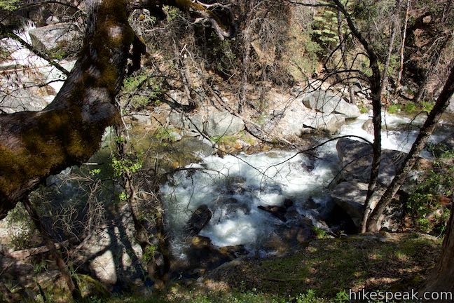
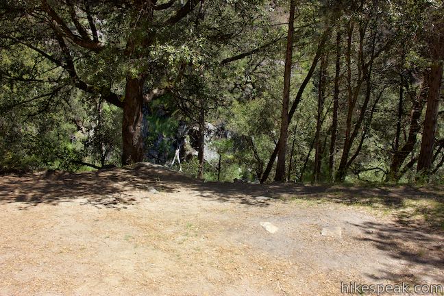
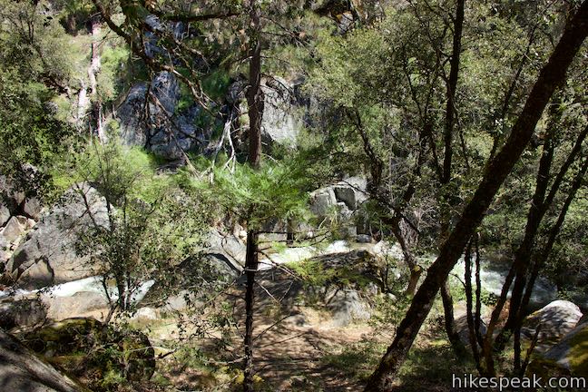
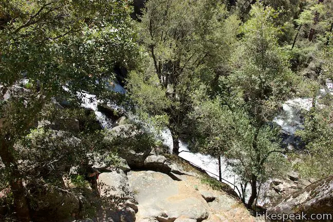
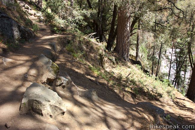
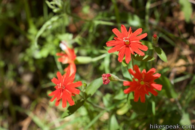
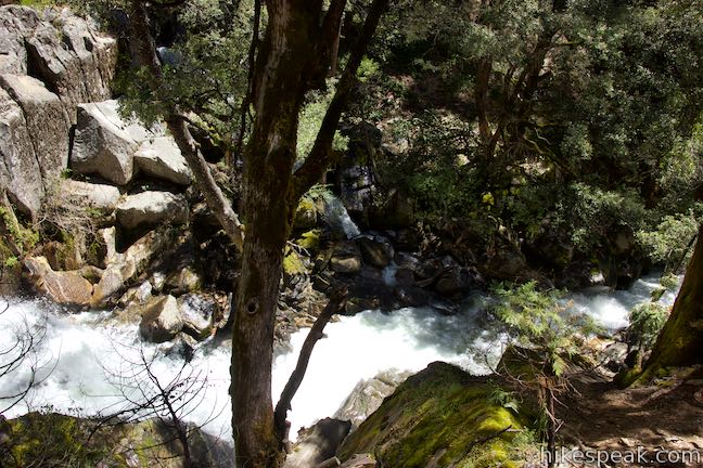
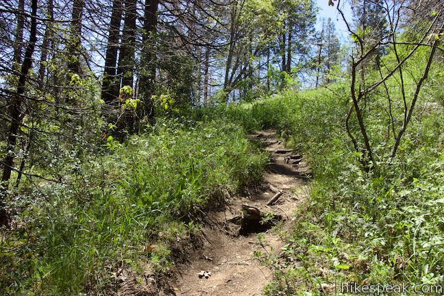
The wooded trail goes down to a couple cleared level landings along the creek upstream from the waterfall (that may be old cabin sites). Take a look at the creek, and particularly the rapids upstream, from each landing before continuing down the trail. These open areas of the forest provide sunlight for flowers like Indian pink, which bloom along the trail in summer months.
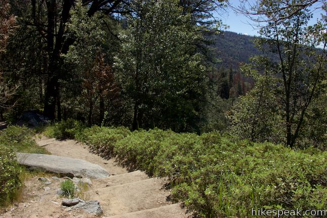
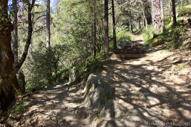
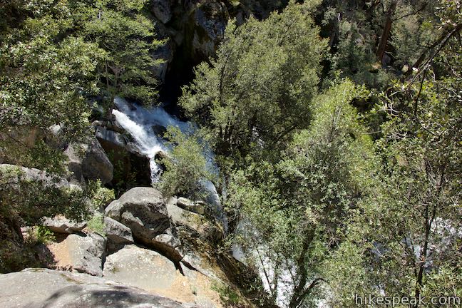
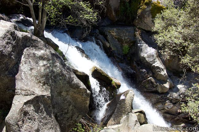
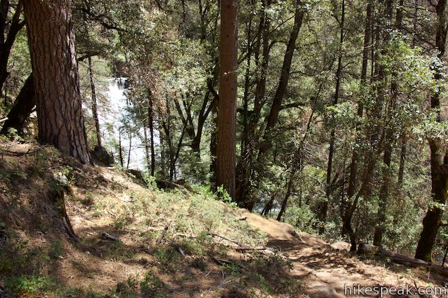
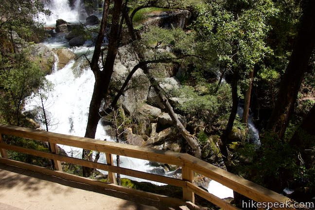
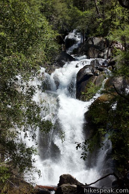
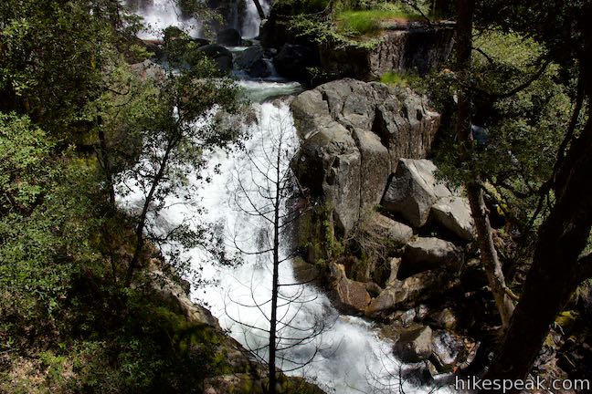
Steps and switchbacks lead you farther down the creek. Come to the brink of Corlieu Falls, after a quarter mile of hiking, where the trail makes a sharp right turn. Look out over the top of the waterfall, which courses down pitched bedrock and tumbles over boulders.
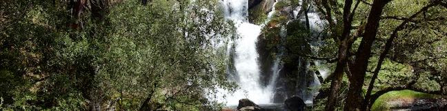
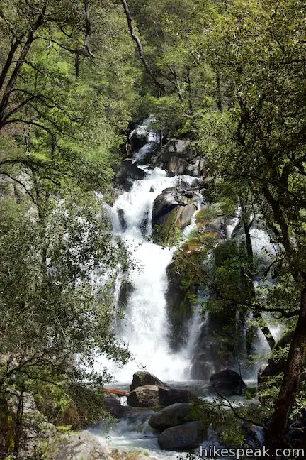
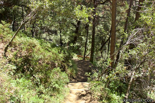
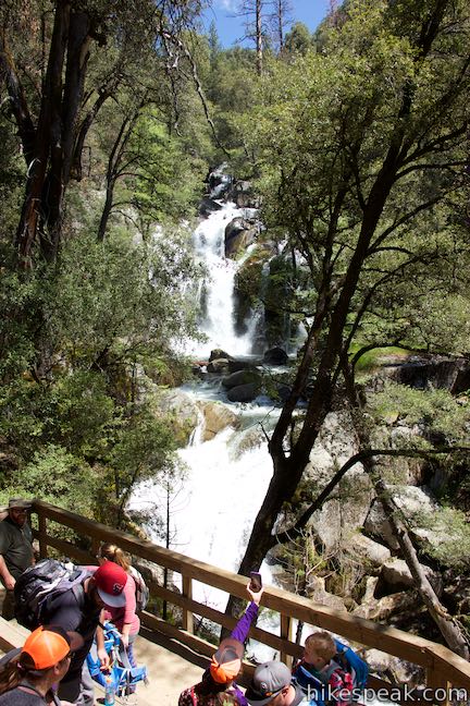
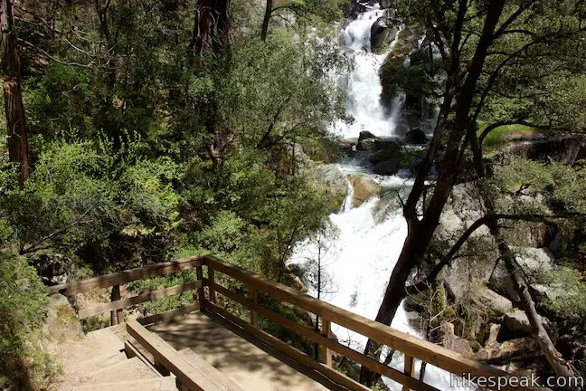
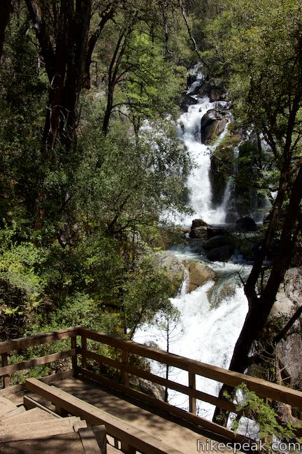
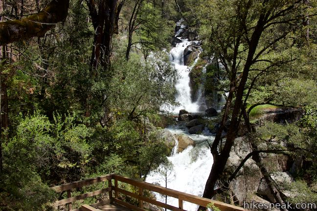
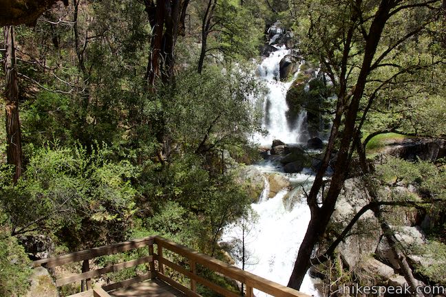
Leaving the brink of Corlieu Falls, Lewis Creek Trail goes from gradual to steep, using steps to descend the side of the ravine beside the falls. When the single-track trail comes to a split, bear left and hike the final 0.05 miles to the falls. The established trail switchbacks down to the right and comes to a wooden viewing platform. Step up to the railings and take a good look at Corlieu Falls. The viewpoint is just higher than the base of the waterfall and presents of great head-on view of cascading tiers cutting through the forest.
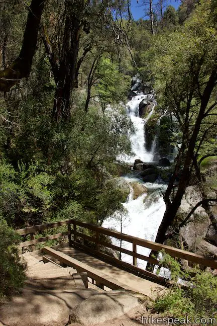
Admire this great perspective of Corlieu Falls (even it if is obscured by a few tree limbs). The viewing platform, built out on a steep bank, definitely makes it easier to see the waterfalls than it would be otherwise. The waterfall is named after Charles Clifford Corlieu, who settled in the area and built a cabin along Lewis Creek above the falls.
When it is time to go, hike up the way you came. Then 275 feet of elevation that you must regain to get back up to the trailhead will probably feel steeper than it was on the gleeful hike down. Bikes and horses are not allowed on Lewis Creek Trail, but dogs can come along on this hike. No permit is required to hike to Corlieu Falls and parking along Highway 41 is free, so get out and enjoy!
To get to the trailhead: From the main intersection in Oakhurst, take Highway 41 north for 7.3 miles to the trailhead parking area, which is on the right (8.5 miles before the south entrance of Yosemite National Park). To find the trailhead, look for a turnout next to a 4,000-foot elevation sign (this is potential overflow parking). Drive another tenth of a mile, and pull off into the larger turnout with a sign for Lewis Creek Trail. The trail starts from the north end of the parking area beside a mountain lion warning sign.
Trailhead address: Lewis Creek Trailhead 1, California 41, Oakhurst, CA 93644
Trailhead coordinates: 37.41662, -119.6266 (37° 23′ 59.8″N 119° 37′ 35.8″W)
View Sierra National Forest in a larger map
Or view a regional map of surrounding Sierra Nevada trails and campgrounds.
 | Way of the Mono Trail This 0.6-mile interpretive trail rises to a granite perch with grand views over Bass Lake and the surrounding Sierra. |
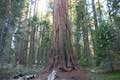 | Big Ed Tree Trail This 0.2-mile hike is quite short, but visits a tree that is quite big - part of the Nelder Grove of Giant Sequoias in Sierra National Forest. |
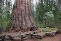 | Bull Buck Tree Trail This 0.8-mile loop leaves from Nelder Grove Campground and leads to a single giant sequoia with an incredibly broad base. |
 | Shadow of the Giants Trail This 1.1-mile nature trail visits giants sequoias and imparts wisdom about the great trees and their surroundings. |
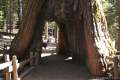 | Mariposa Grove of Giant Sequoias This 1.6-mile hike (or longer) visits the biggest trees in Yosemite. |
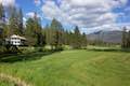 | Wawona Meadow Loop Trail This gentle 3.9-mile loop passes through forest encircling a verdant, mostly-natural meadow near Wawona Hotel at the south end of Yosemite National Park. |
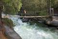 | Wawona Swinging Bridge This 0.8 or 1.4-mile hike leads to a suspension bridge spanning a charming stretch of the South Fork Merced River in the Wawona Area of Yosemite National Park. |
 | Chilnualna Falls Trail This 8-mile round trip hike ascends 2,200 feet past a raucous string of cascades to the top of a waterfall alongside Wawona Dome. |
 | More trails in the Sierra Nevada Mountains Explore other destinations around Yosemite National Park and the rest of the range. |
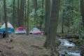 | Nelder Grove Campground This 7-site campground offers cozy nights in a partially logged grove of giant sequoias in Sierra National Forest. |
Lewis Creek Trail to Corlieu Falls in 100 Hikes in Yosemite National Park by Marc J. Soares
The Sierra National Forest webpage for Lewis Creek Trail
A flier for Lewis Creek Trail from Sierra National Forest
Lewis Creek Trail to Corlieu Falls on yosemitehikes.com
Lewis Creek Trail to Corlieu Falls on sierranewsonline.com
Lewis Creek Trail on sierranewsonline.com
Corlieu Falls on waterfallswest.com
An article about Corlieu Falls on abc30.com
Nice post and pictures. I really like your website. Great maps and layout. Red Rock Falls is also accessible from the same trail approx 1.75 miles the other direction from Corlieu Falls. Both falls are worth the hike IMO. I posted a report of them here: https://flagtails.com/2020/07/02/red-rock-and-corlieu-falls/