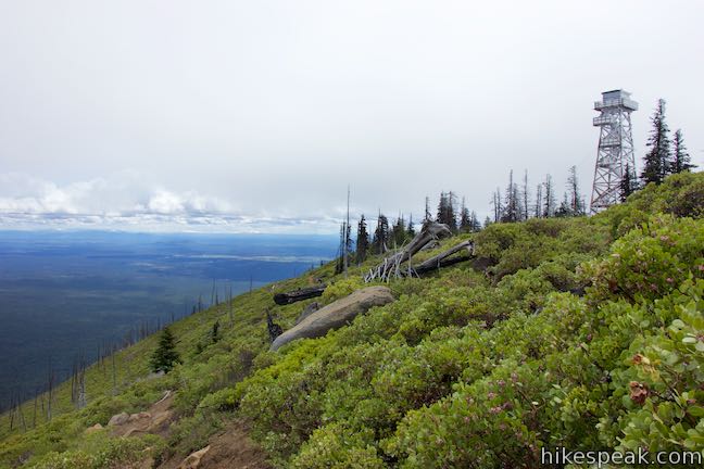
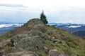
Black Butte is one of the most identifiable summits in Central Oregon. This conical volcano rises 3,000 feet over tapered terrain on the east side of the Cascade Mountains. Black Butte stands on its own and offers tremendous views over the surroundings including peaks in the Central Oregon Cascades to the north, west, and south. Grand views make Black Butte an ideal site for fire lookout towers, which you will find at the summit. The views make Black Butte an ideal target for hikers too. A trail starting halfway up the side of Black Butte offers a 4-mile round trip hike to the summit with 1,550 feet of elevation change. The lower half of the trail passes through a pine forest while the top half of the trail is exposed to sweeping panoramas.
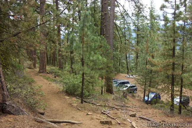
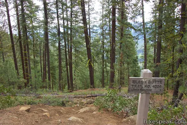
Black Butte is located about 9 miles the mountain town of Sisters, where every building (including McDonalds) has a charming western facade. Black Butte Trail starts from the end of a road built up Black Butte in the 1960s. Off the right side of the trailhead, you’ll see a restored lower section of Black Butte Trail, also called Historic Black Butte Trail, that could be used for a 10-mile round trip route to the summit from a trailhead on the northern base of Black Butte. To hike up the mountain, take the trail ascending to the left by a sign for Black Butte Trail No. 4026 that puts the distance to the summit at two miles.
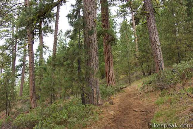
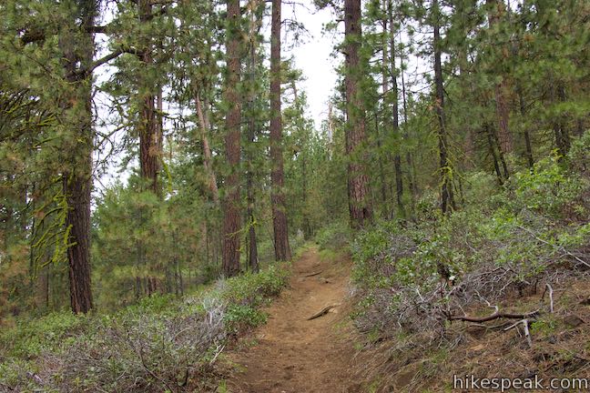
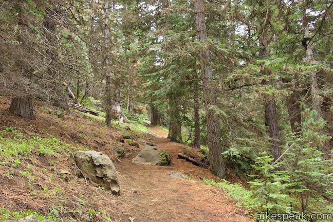
Begin up a dirt single track into a forest of pines and firs. The trail maintains a moderate grade all the way up the mountain. After 0.7 miles, hike through a sharp turn to the right. This is basically the only switchback on the hike, which curls up to the summit in a counter-clockwise direction from this point on, going around the western and southern slopes to approach the summit from the east. About 0.2 miles past the switchback, you’ll be able to look through the trees toward Cache Mountain to the west and Suttle Lake to the northwest. Proceed up the trail for another 0.2 miles (1.1 miles from the start) and come to the edge of a draw that has eroded into the southwest side of Black Butte. Catch your first glimpse of the fire lookout tower on the top of Black Butte.
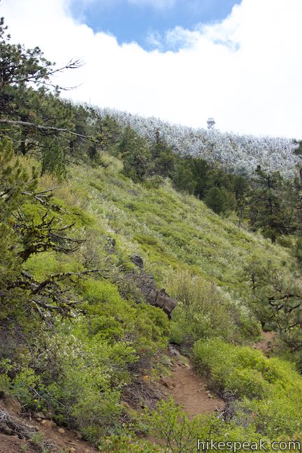
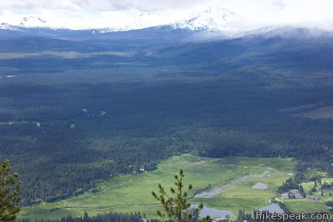
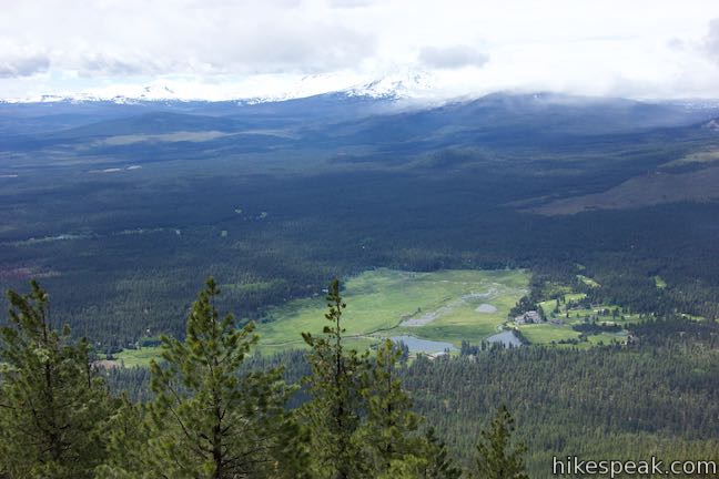
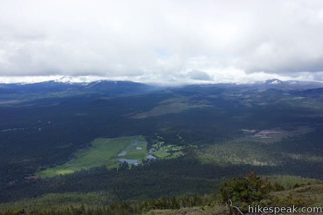
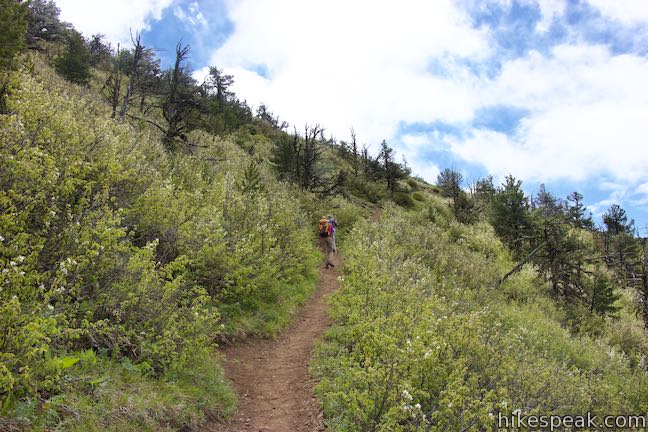
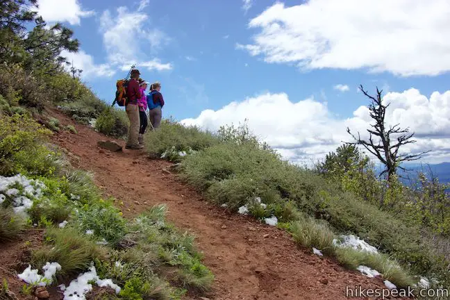
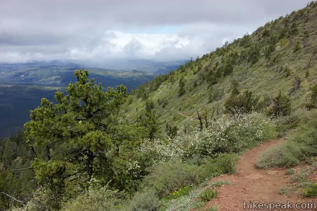
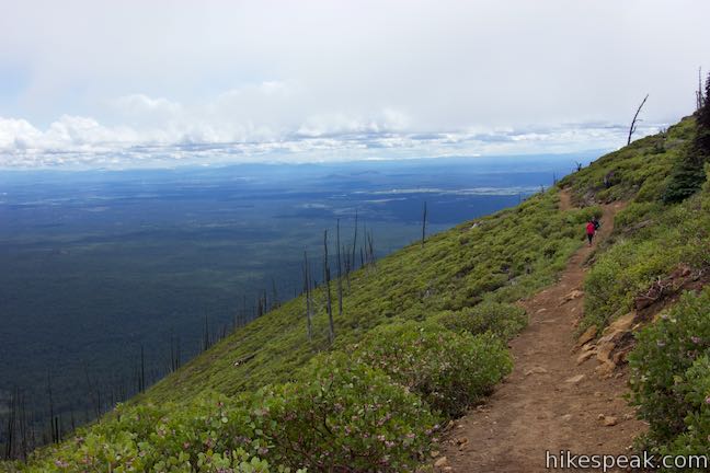
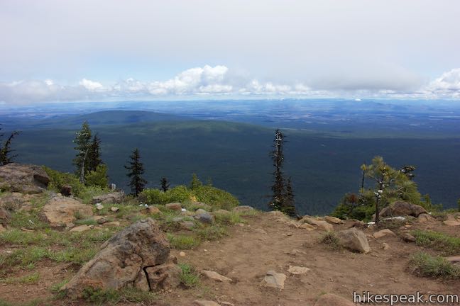
The trail transitions out of the forest to slopes covered in low brush like manzanita and serviceberry bushes. As you proceed up the dirt single track, enjoy unobstructed views from the southwest side of Black Butte over pine forests and a golf course in the meadows by Black Butte Ranch.
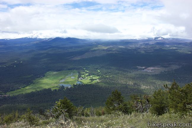
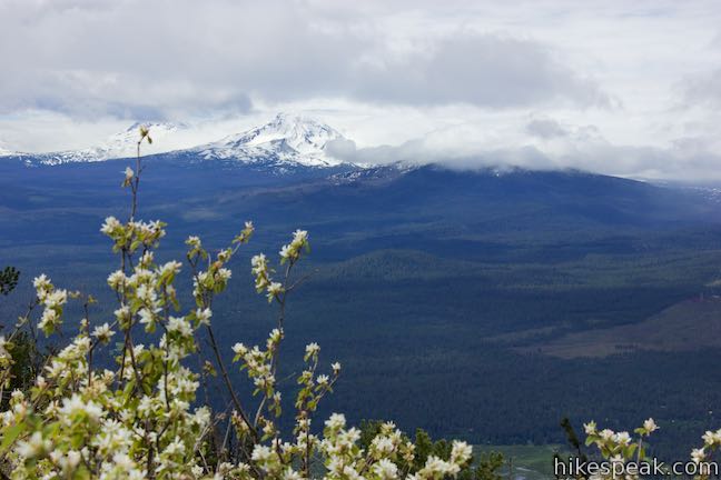
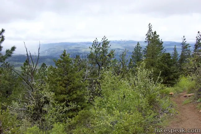
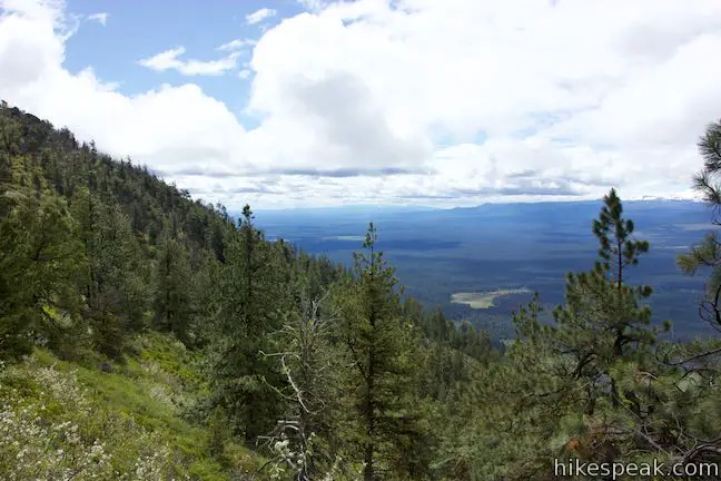
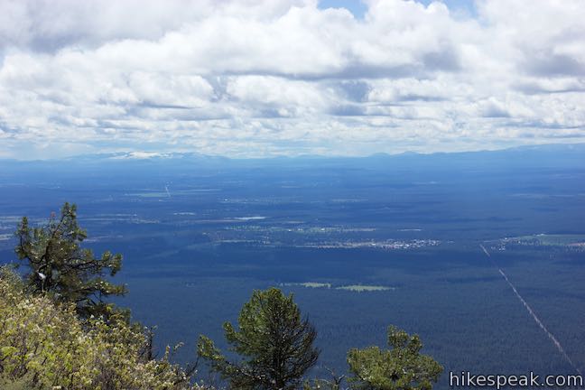
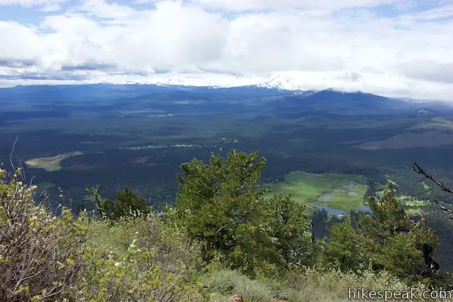
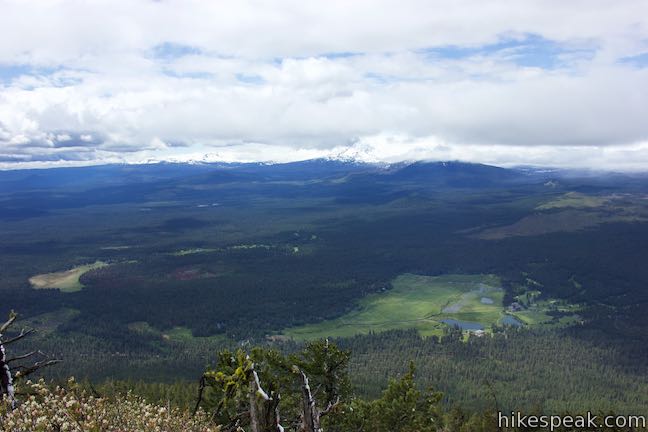
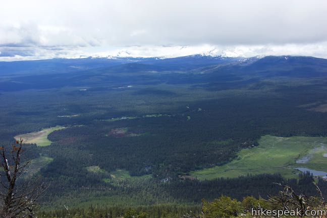
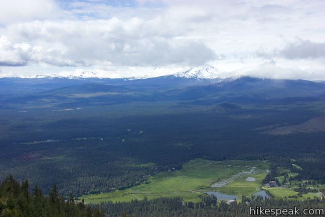
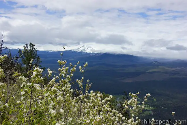
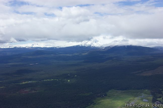
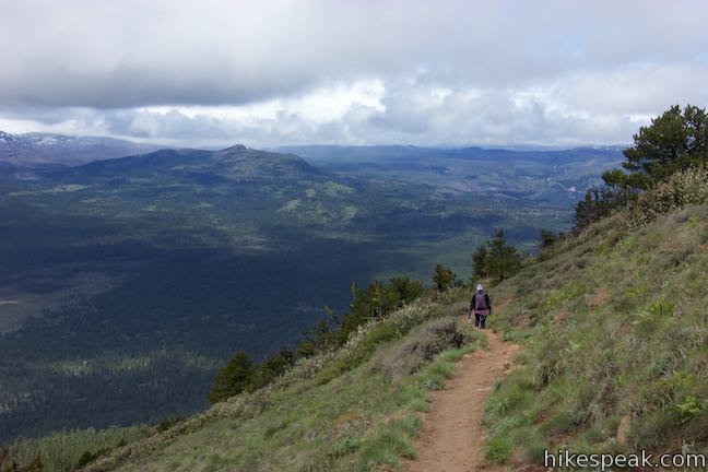
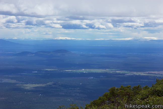
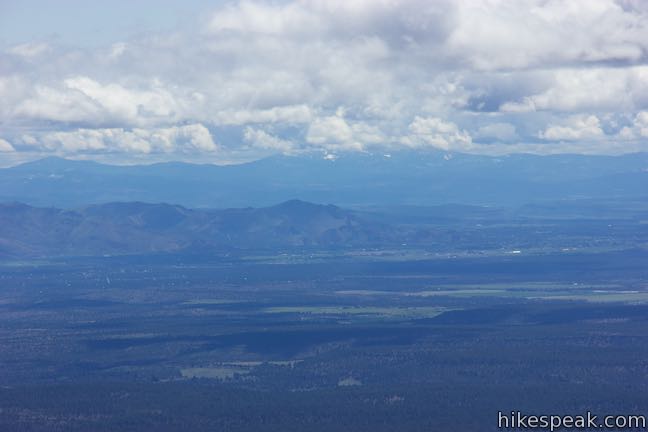
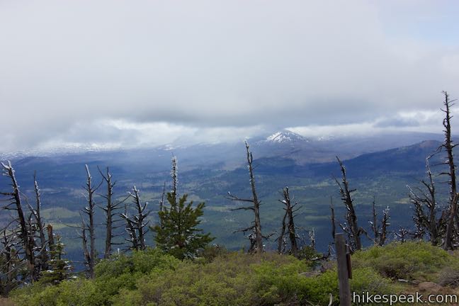
The views from Black Butte Trail are sweeping. On clear days, you’ll see a string of Cascade Mountains to the west and south. The sliver of blue water to the northwest is Suttle Lake. Short and lumpy Cache Mountain rises from the south side of Suttle Lake. Beyond that, Mount Washington, Belknap Crater, Black Crater, North Sister, South Sister, and Broken Top form a series of prominent peaks. Mount Washington is the closest major mountain, 11 miles away, rising to a 7,795-foot peak south of Cache Mountain. South Sister is the tallest mountain in view, 21 miles to the south-southwest, rising to a dominant 10,358-foot crown.
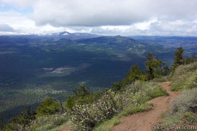
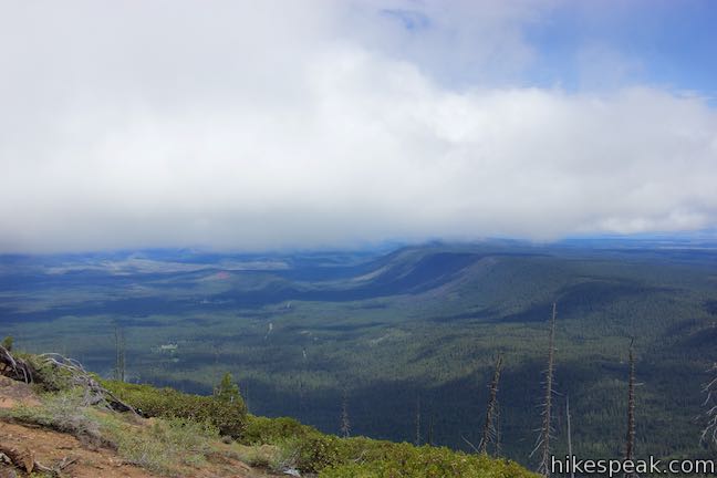
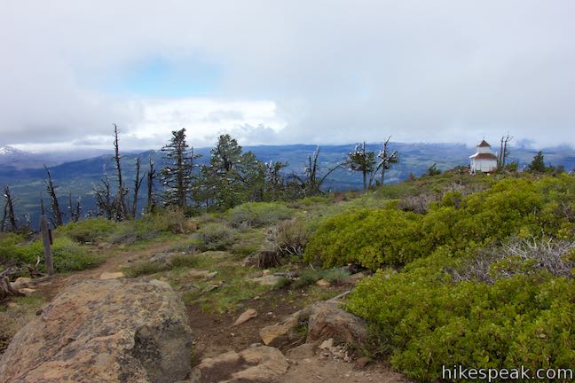
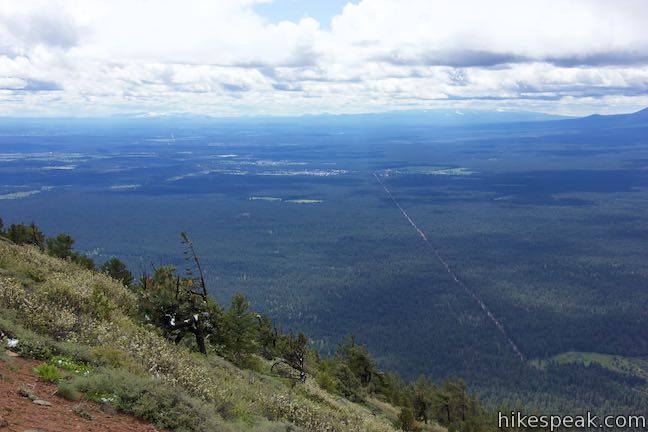
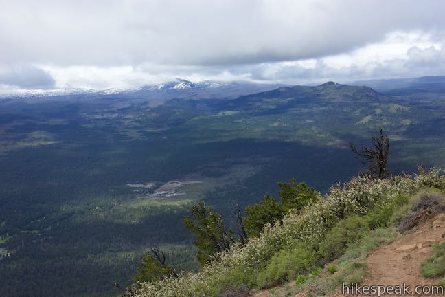
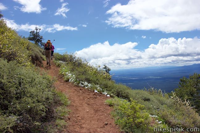
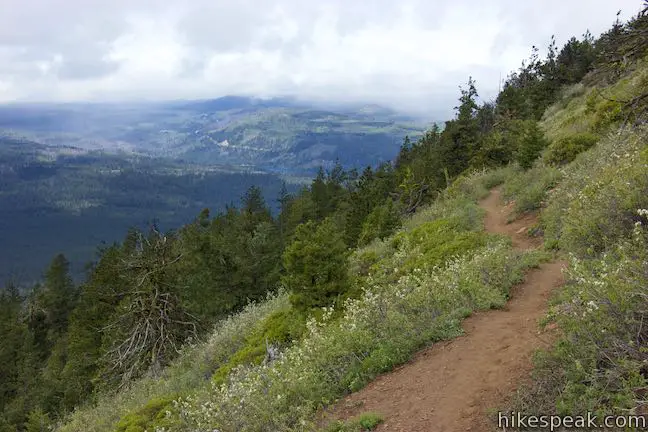
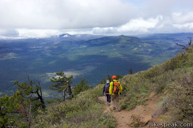
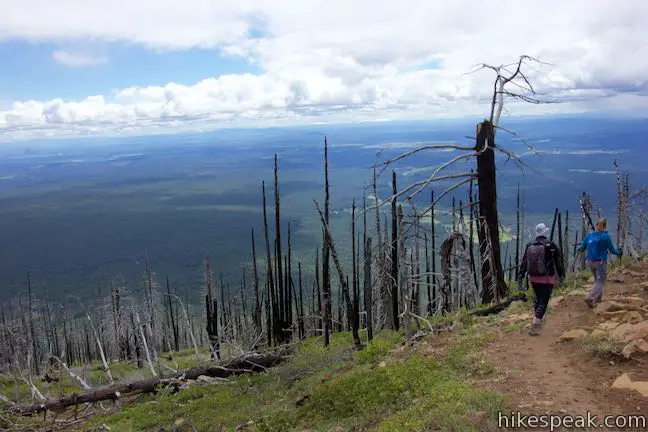
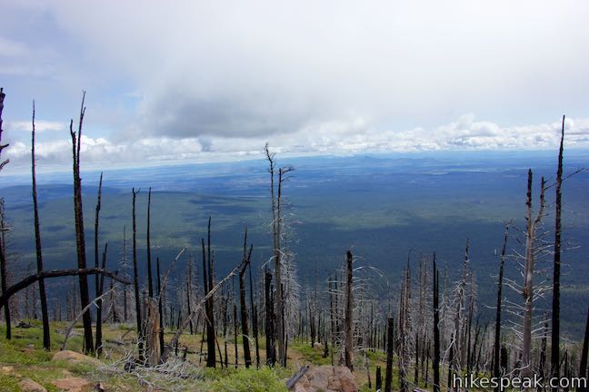
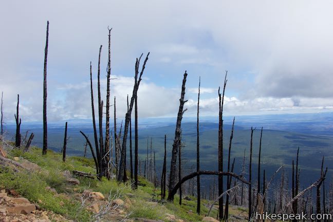
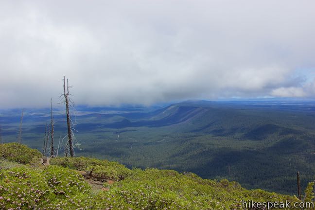
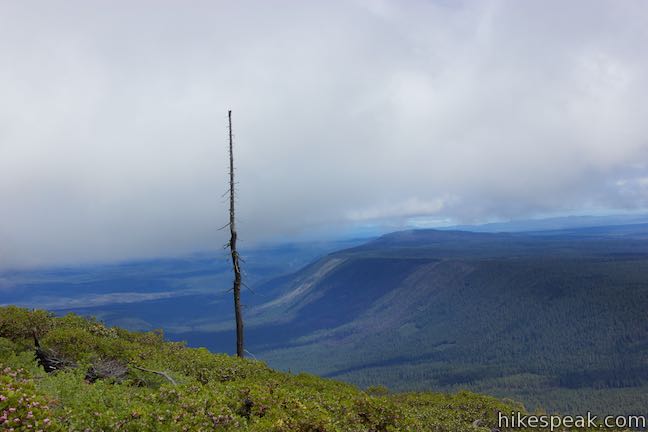
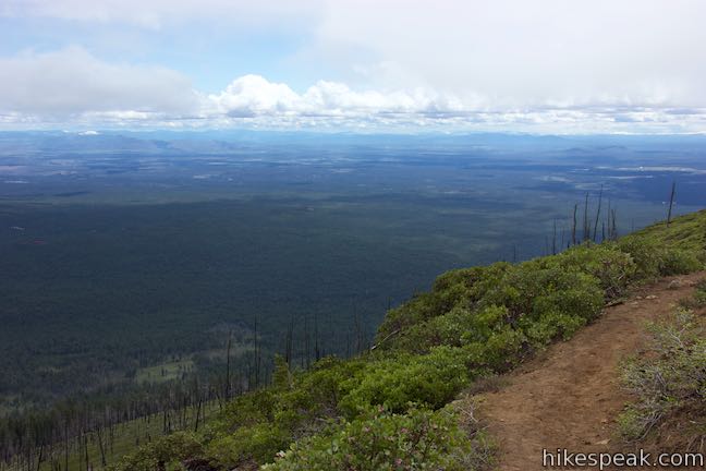
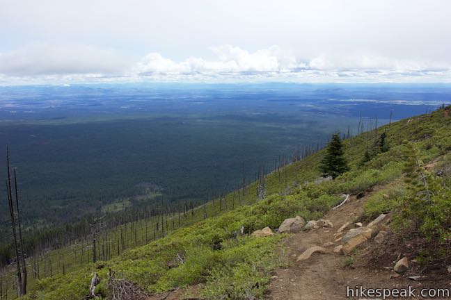
Proceed up the trail, spotting the Cascade Mountains to the south and west. You can also look southeast over pine forest, following the line of Route 20 toward the town of Sisters. After 1.75 miles of hiking, come around to the southeast side of the mountain and pass into an area that was burned by a 2009 wildfire. Numerous charred trees stand on the mountain slope. Pass through this zone and discover views over flatter country to the east toward the ridges and rock formations in Smith Rock State Park. Come to a spot where an old trail ascends to the left toward the lookout tower and stay to the right on Black Butte Trail. According to park signs, the trail has been re-routed from to the previous path to “separate recreational use and fire lookout operations.”
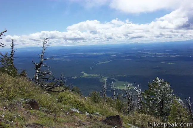
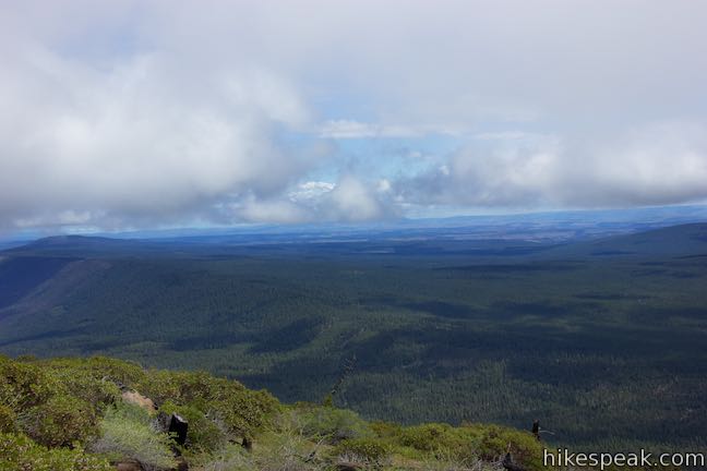
Black Butte Trail continues to round the mountain as you ascend, presenting new views to the northeast. Green Ridge is the most dominant landform, running to the north like a giant wave in the terrain. Look for the weaving waters of Metolius River on the western flank of Green Ridge. The eruption of Black Butte buried the Metolius River, which gets its water from sources in the Cascade Mountains. The river now emerges, as through by magic from Metolius Springs, which can be seen from Head of the Metolius Trail. Another amazing springs along the river can be seen on West Metolius River Trail.
Black Butte was created by basaltic lava flows around 1.5 million years ago and is classified as a stratovolcano. Unlike other ancient volcanoes in the nearby Cascade Mountains, Black Butte has kept its symmetrical cone shape. The reason Black Butte has stayed in shape all these years isn’t self-discipline. The Cascade Mountains cast a rain shadow over everything to the east, sparing Black Butte from the erosive brunt of too many storms.
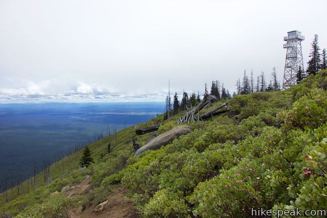
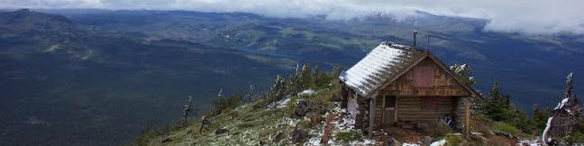
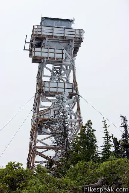
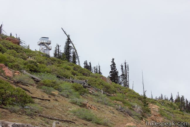
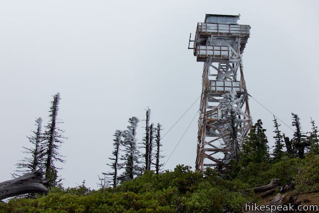
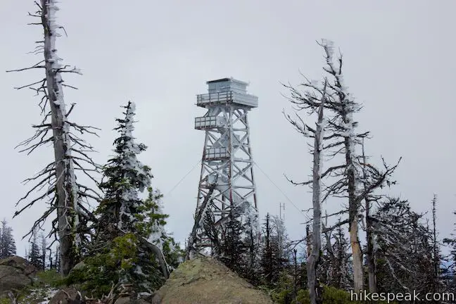
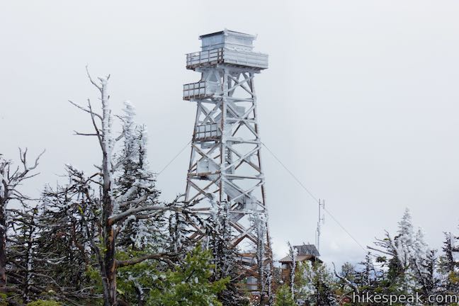
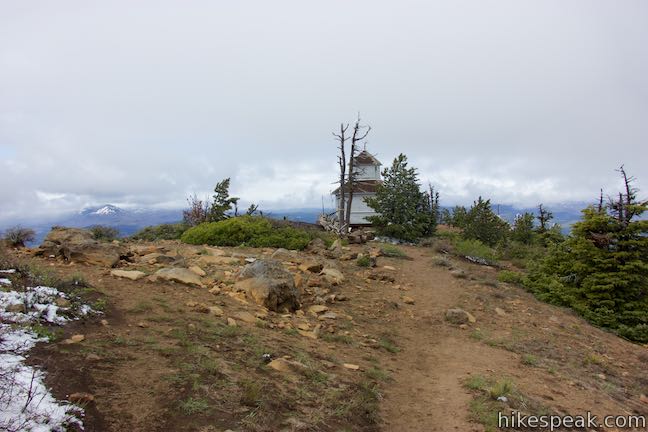
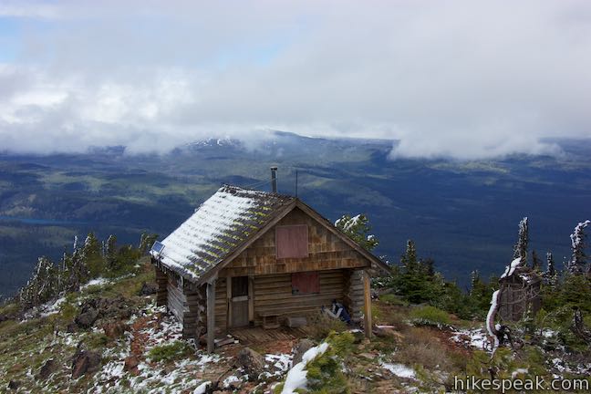
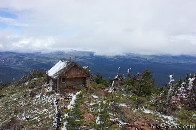
Black Butte Fire Lookout Tower is visible at the top of the mountain as you make your way up the last stretch of the trail. This 65-foot tower was built in 1995 and is only the most recent lookout on Black Butte.
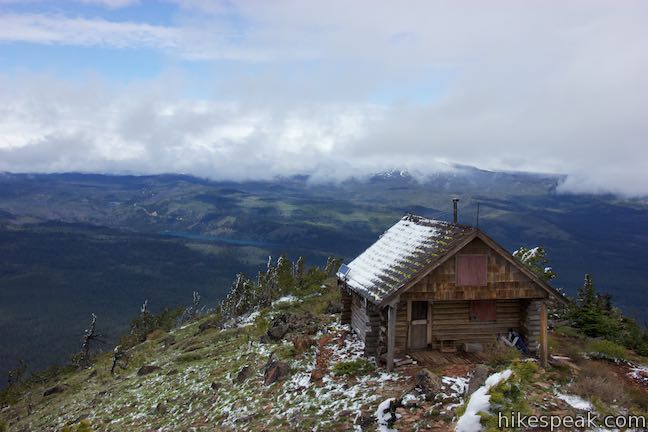
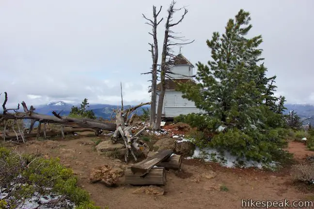
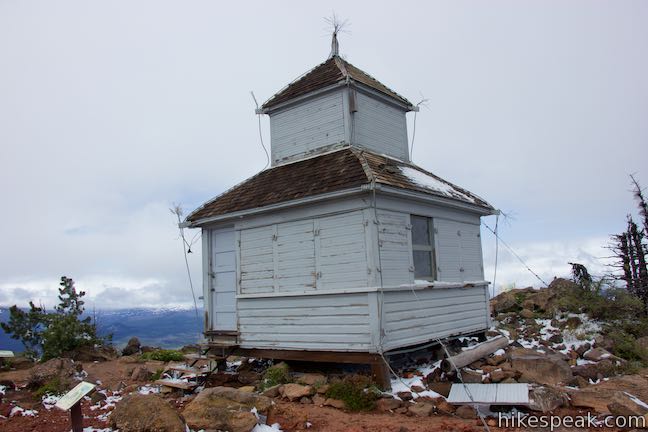
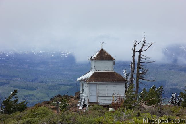
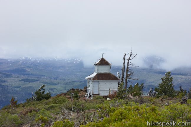
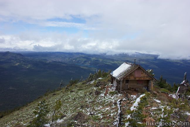
Black Butte Trail tapers out and comes to a clearing at the top of Back Butte, 2 miles and 1,550 feet above the trailhead. A panel on the top of the mountain describes the development of Black Butte’s fire lookout facilities. Black Butte became one of the first fire detection sites in Deschutes National Forest in 1910 when a “squirrel nest” style platform was constructed between the tops of two fir trees. A major upgrade came in 1924 when a cupola was constructed that could be used for both observation and living quarters. Black Butte Cupola was in service until 1979 and can still be seen today. It is a short walk from the end of the trail to the northwest side of the mountaintop to get a closer look at the cupola. In 1934, Black Butte got its tallest tower, which rose 85 feet off the ground. This CCC-built tower fell in 2001 under a heavy snow load. A log cabin built in 1979 is located on the north side of the summit. A newer residence will be built next to the current lookout tower.
From the summit, a path forms a loop toward Black Butte Cupola on the summit’s northwest side. Take this path to discover views of Cascade Mountains not seen on the hike up. Find a mountain identification panel and face north to spot Hayrick Butte, Three Fingered Jack, Mount Jefferson, Mount Hood, and Mount Adams. Three Finger Jack and Mount Jefferson are quite impressive, rising to 7,841 feet and 10,497 feet. If things are clear enough to spot the 12,326-foot summit of Mount Adams, which is 125 miles away, than you are looking all the way into the state of Washington.
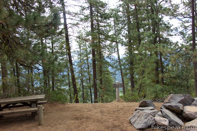
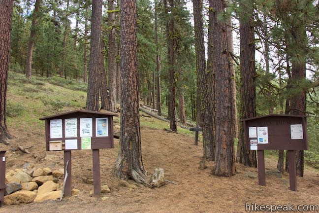
The cupola, log cabin, and lookout tower are all closed to the public. Take a seat on a summit bench and admire the views. When you’ve finished taking it all in, hike back down Black Butte Trail the way you came for a 4-mile round trip trek. Black Butte’s summit is at 6,436-feet. When it rains in Bend, it can snow on the top of Black Butte. Be sure to carry appropriate extra layers on this hike. Black Butte Trail is in Deschutes National Forest in Jefferson County, just north of Deschutes County. Dogs are welcome on Black Butte Trail but bikes are not allowed. From May through September, a Northwest Forest Pass is required to park at the trailhead. Day use passes can be purchased for $5 (as of 2016). The America the Beautiful Public Lands pas may also be used. The trailhead has vault toilets and space for several vehicles. No permit is required to hike Black Butte Trail, so get out and enjoy!
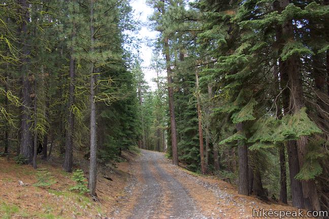
To get to the trailhead: From Sisters, drive 6 miles northwest on Route 20. Turn right onto Forest Road 11 (signs for Indian Ford Road and Green Ridge Road) and drive 3.8 miles to Forest Road 1110. Turn left and drive 4 miles up to a junction with Forest Road 700. Turn right to stay on Forest Road 1110 and drive another 1.1 miles to the trailhead at the end of the road. The last mile of the road can have rough sections. Those with low clearance vehicles may wish to park along the side of the road near the intersection and walk the remaining distance up the road.
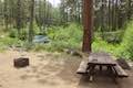
Trailhead address: Lower Canyon Creek Campground, National Forest Development Road 1110, Camp Sherman, OR 97730
Trailhead coordinates: 44.3949, -121.6476 (44° 23′ 41.63″N 121° 38′ 51.35″W)
View Black Butte Trail in a larger map
Or view a regional map of surrounding Oregon trails and campgrounds.


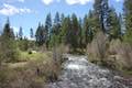
 | Head of the Metolius This 0.5-mile hike visits the surprising source of the Metolius River, a gushing spring accompanied by views of Mount Jefferson. |
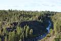
 | West Metolius River Trail The 5.4-mile hike follows the west bank of the Metolius River to incredible gushing springs and a fish hatchery. |
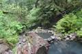
 | Archie Briggs Canyon Trail This 1.25-mile hike descends a ravine to clifftop views over a dramatic canyon on the Deschutes River. |
 | Shevlin Loop Trail This 4.75-mile tour of Shevlin Park just a few miles east of Bend explores pine forests on both sides of Tumalo Creek. |
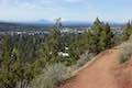 | Pilot Butte This 1.8-mile hike ventures up the dominant landmark in Bend to offer sweeping views of the majestic surroundings. |
 | Terwilliger Hot Springs This 0.9-mile hike leads to a natural hot springs in Willamette National Forest where bathers can soak in a series of terraced pools. |
 | Spencer Butte This 5.2-mile hike crosses a fern-covered forest to reach the crown of Spencer Butte where there are panoramic views to enjoy. |
 | More trails in Oregon Explore other hikes in Oregon outside the Bend area. |
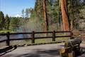
 | Lower Canyon Creek Campground This spacious 7-site campground is sparsely shaded by pines next to the confluence of Canyon Creek and Metolius River. |
Go the extra miles...
Submit a rating of this hike to go with your comment. Contribute to the average trail rating.