Bailey Cove Trail
in Shasta-Trinity National Forest
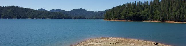
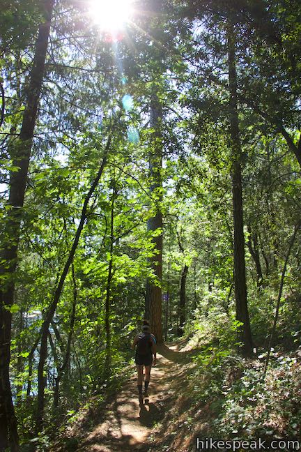
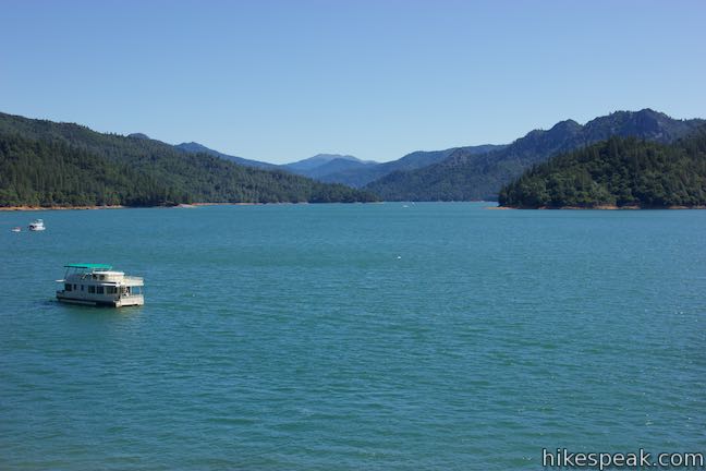
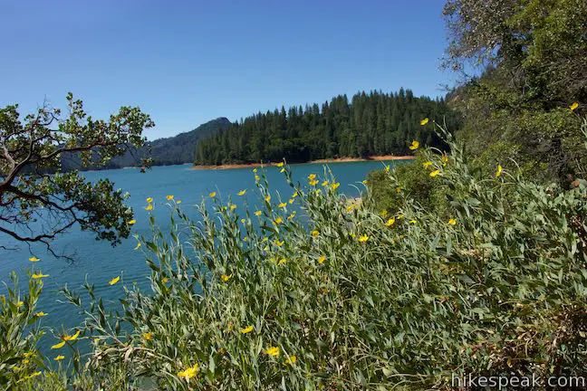
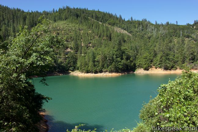
Bailey Cove Trail follows an easy path that weaves along the edges of a roughly triangle-shaped peninsula extends into Shasta Lake. A hill rises over the center of the peninsula, which is framed by finger-like coves on two sides. Lake views are present throughout this 3.1-mile hike and are grandest during the second mile. Bailey Cove Trail is fairly level, with just 50 feet of elevation change. Shade covers most of this wooded trail, particularly on the north side of the peninsula where the loop begins.
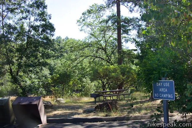
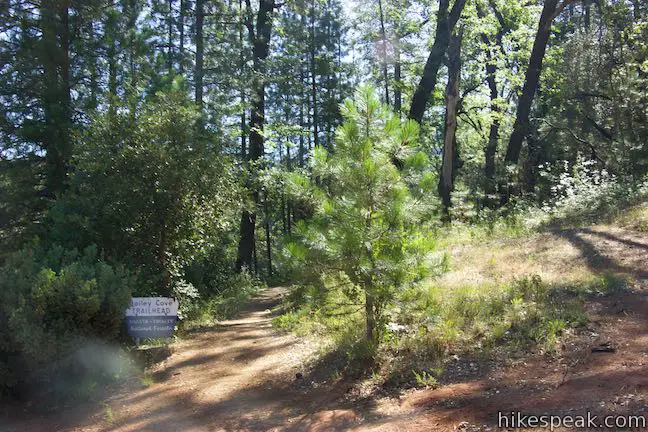
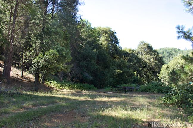
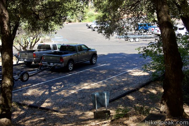
Start from the Bailey Cove Day Use Area Parking Lot and walk down a grassy slope between spread-out picnic tables. Below you to the right, you’ll see a larger parking area by a boat launch that can be used as an alternate starting point. Stay to the left, where you can look out over the end of Bailey Cove. After walking less than a tenth of a mile, find a sign that reads, “Bailey Cove Trailhead” at the start of the trail. Begin on this dirt single track to hike the loop in a clockwise direction. To your right, you should be able to spot the other end of the loop, which is not marked and hidden behind a picnic table.
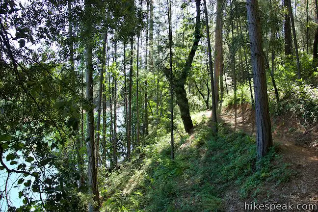
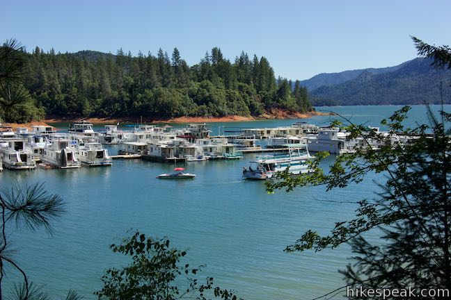
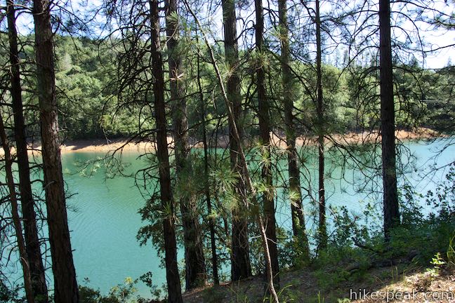
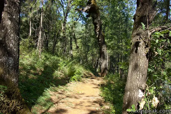
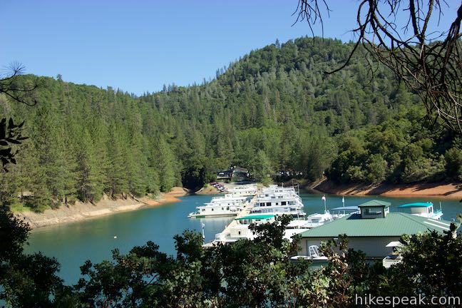
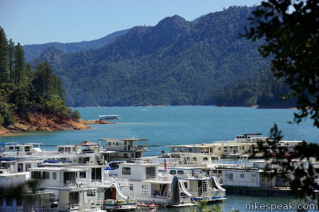
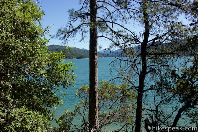
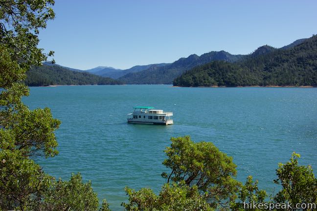
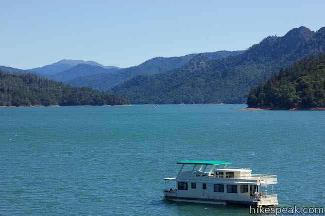
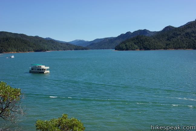
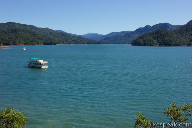
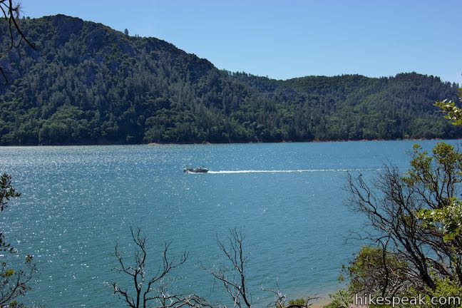
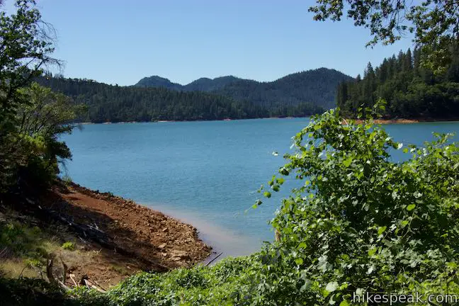
Make your way along Bailey Cove Trail, which plots a gradual course through the forest on the edge of Bailey Cove. This is the north side of the peninsula, so it gets the least amount of sun exposure. As a result, ferns and moss are plentiful, enjoying the shade of Douglas firs and incense cedars. Patches of poison oak may be present as well, so stay on the trail. The glistening teal blue water of Bailey Cove is visible through the trees to your left. After a quarter mile, you’ll pass Holiday Harbor Marina on the opposite bank, where boats are tied to numerous docks that extend into the lake.
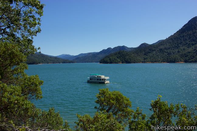
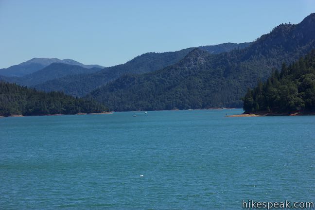
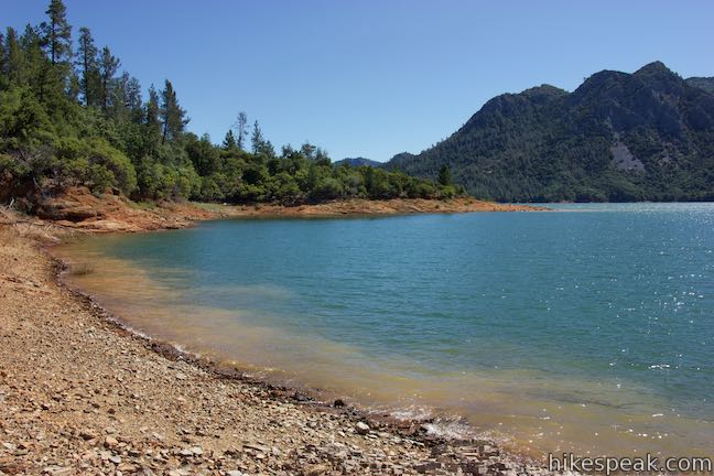
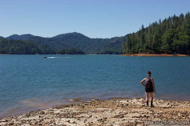
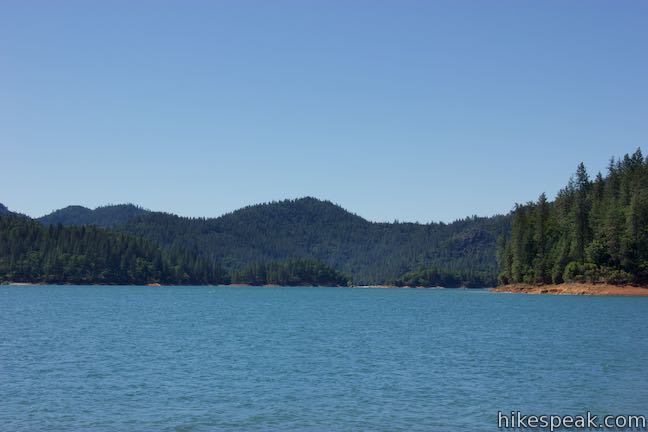
Walk along the side of the cove opposite the marina, eventually rounding a point at the northeast end of the peninsula. Enjoy a view looking up the McCloud Arm of Shasta Lake. You may spot boats traveling up the lake to the northeast.
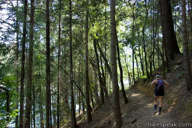
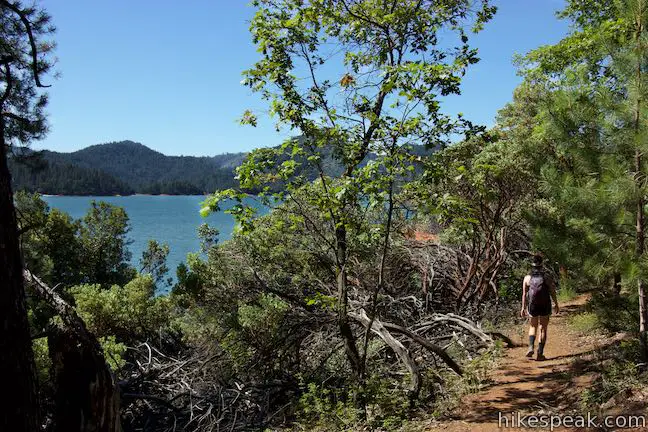
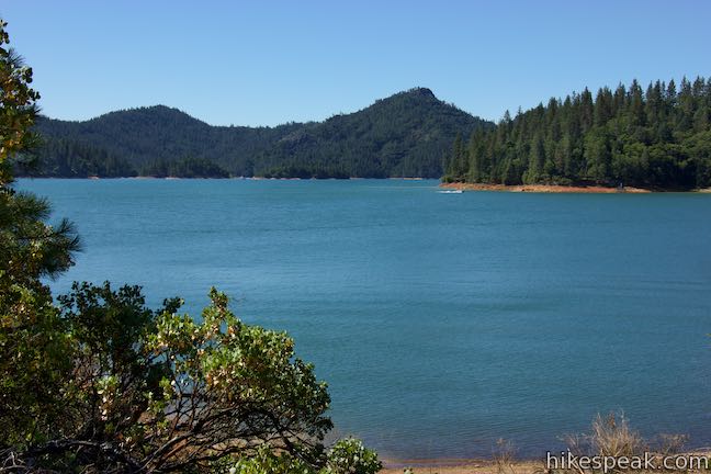
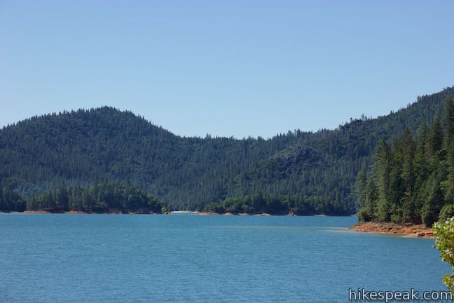
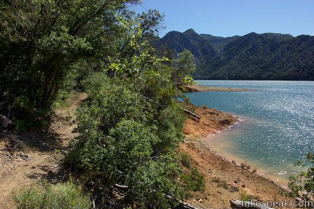
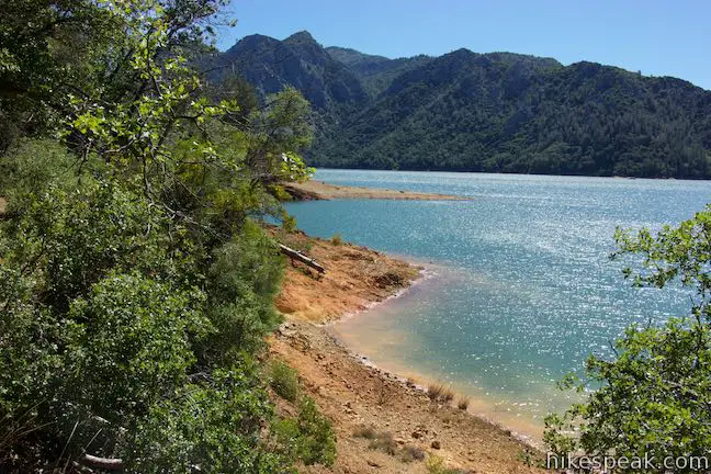
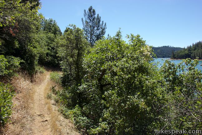
While it may appear that you are rounding the end of the peninsula, you are actually just a third of the way through the loop (because the peninsula’s shape). As you keep hiking along Bailey Cove Trail, the vegetation will become a bit thinner. Manzanitas, live oaks, and knob cone pines replace the denser forest, reducing the trail’s shade and opening things up for more sun and more views.
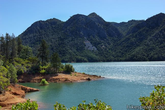
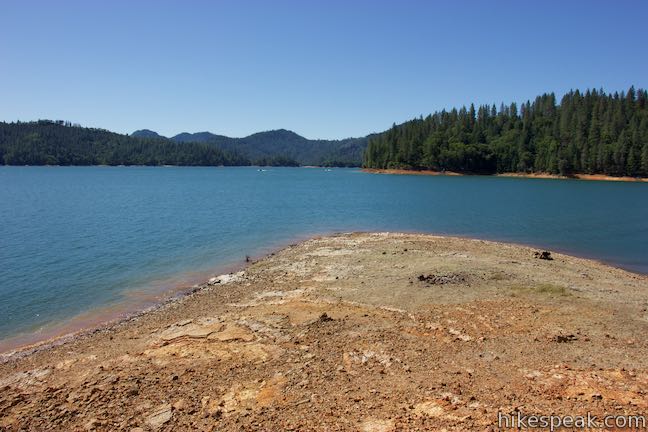
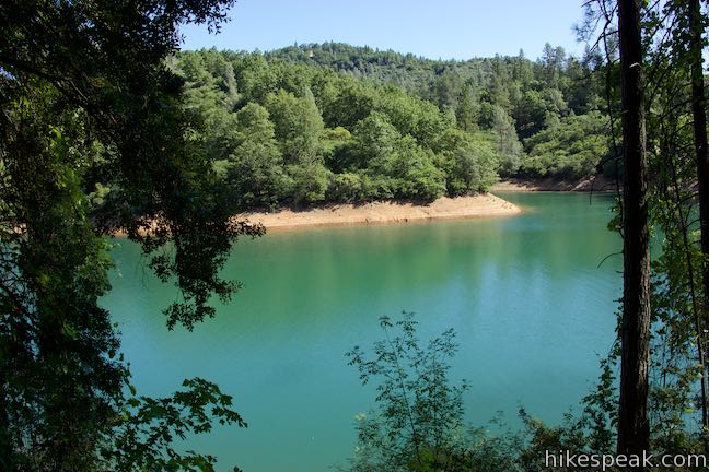
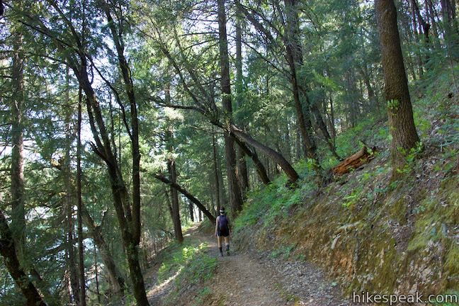
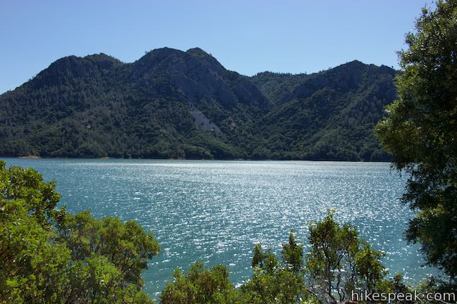
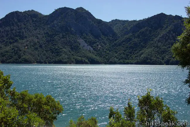
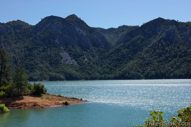
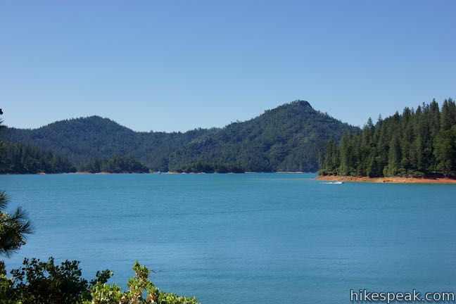
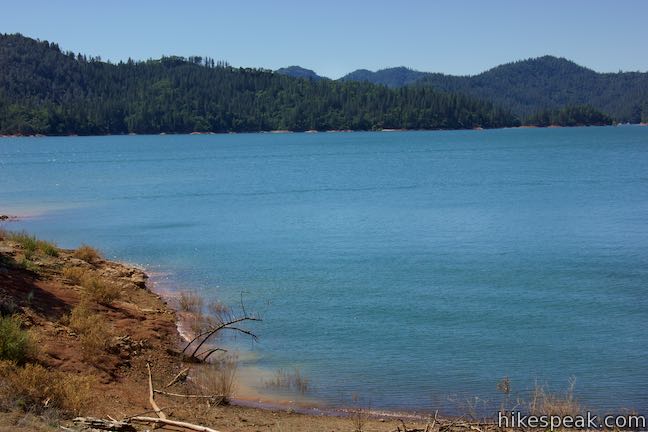
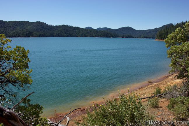
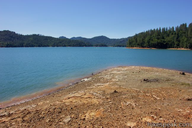
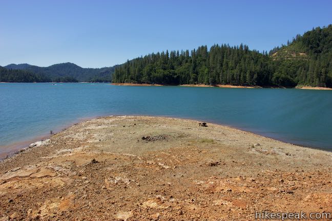
Below the trail, you’ll see a shoreline made up of orange soil. When waves wash up on the peninsula, a tan cloud can appear at the water’s edge. Weave through a few small coves in the uneven coastline and discover views south down lake. You’ll also have views across the lake toward the steep ridge of North Gray Rocks and Horse Mountain.
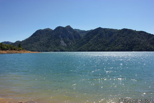
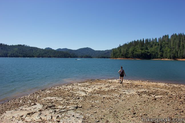
Pass a bench along the trail just past the halfway point and come to a path dropping from the trail out to a point at the southeast end of the peninsula. This spur comes 1.65 miles from the start and makes a nice addition to the loop. Take the path down from Bailey Cove Trail to an exposed point extending into the lake. Depending on the water level, you should have lots of open room to walk around and take in a 270-degree view of the lake.
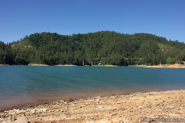
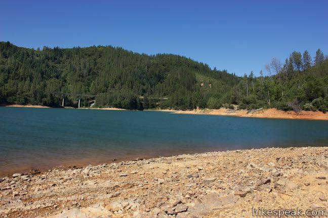
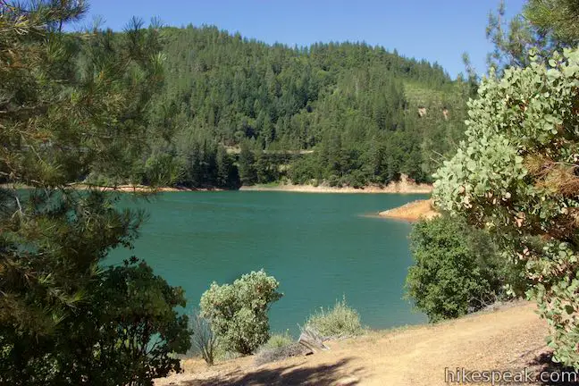
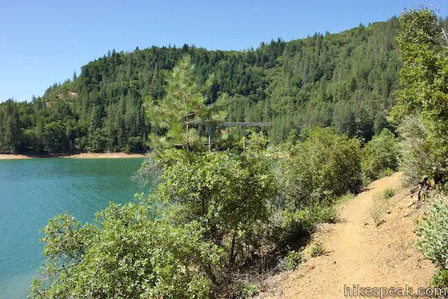
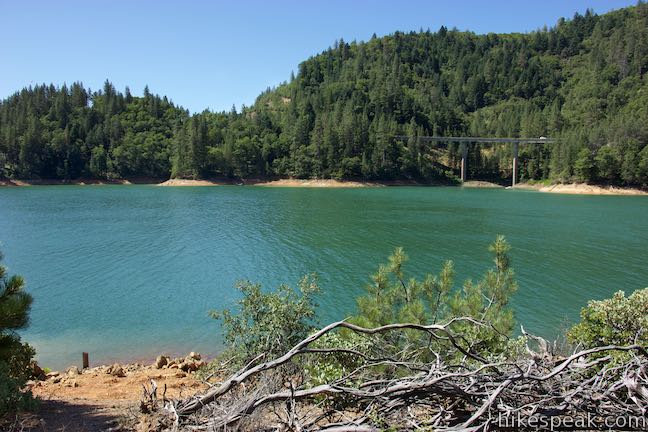
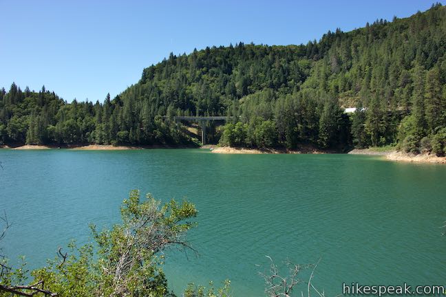
Return to Bailey Cove Trail and head west now going along the shore and back to the trailhead. You will hear freeway noise during this last leg of the hike and will see traffic crossing a bridge above a branch of the lake to the west. The trail follows the curves of an uneven shoreline with many small coves and round points. You’ll loose sight of the main arm of the lake as you head farther up the inlet to the southwest. A couple small creeks trickle across the trail as you cross undulations near the close of the loop.
Just before the end, you will hit a split in the trail. A low road parts to the left and drops the big lower parking area. Take the high road to the right to go around a bowl in the terrain and return to the picnic area by the other parking lot. The trail exits the forest across from the sign where the loop began. Walk back up across the grassy slope through scattered picnic tables to the bathrooms and parking area to complete the hike.
Bailey Cove Trail is level and easy. It makes a great morning stroll (or anytime-of-day stroll). A $6 day use fee is required to park at the trailhead (as of 2016), which can be deposited in provided envelopes. This hike is within Shasta-Trinity National Forest and an America the Beautiful federal lands pass can be used instead of paying the fee. Dogs and bikes are permitted on this loop, so get out and enjoy!
To get to the trailhead: Take Interstate 5 to exit 695 (42 miles south of Mount Shasta and 15 miles north of Redding). At the end of the offramp, head east following signs for Shasta Canyon Road. Drive just under half a mile and turn right onto Bailey Cove Road. Drive 0.6 miles down to the upper trailhead and parking area, or go a bit farther down to the boat launch and lower parking area. Baily Cove Road continues to Bailey Cove Campground.
Trailhead address: Bailey Cove Road, O’Brien, CA 96070
Trailhead coordinates: 40.7997, -122.3169 (40° 47′ 58.92″N 122° 19′ 00.84″W)
View Shasta Lake in a larger map
Or view a regional map of surrounding Northern California trails and campgrounds.


 | Crags Trail to Castle Dome This 5.6-mile round trip hike in Castle Crags State Park ascends 2,150-feet through a garden of granite crags to the base of Castle Dome. This hike can be extended to 6 miles round trip by taking a worthy side trail to Indian Springs. |
 | Root Creek Trail This 2.2-mile round trip hike in Castle Crags State Park takes a level and easy course to a tumbling creek in a mossy forest. |
 | Vista Point Trail This short hike reaches the principal viewpoint in Castle Crags State Park, which has a great perspective of granite peaks known as the Castle Crags, along with views of Mount Shasta and the surrounding wilderness. |
 | Heart Lake and Little Castle Lake This 2 to 3-mile hike visits lakes in a beautiful area of Shasta-Trinity National Forest, including the charming-contoured waters of Heart Lake. |
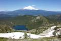 | Castle Peak and Heart Lake This approximately 3.2-mile hike ventures off trail above Heart Lake to a summit with extraordinary views of the Castle Crags and Mount Shasta. |
 | Lake Siskiyou Trail (South Shore Loop) This short and easy lakefront loop offers great views across Lake Siskiyou toward Mount Shasta and the surrounding evergreen wilderness. |
 | Faery Falls and Ney Springs This short hike travels along a creek up to an impressive 50-foot waterfall, passing the ruins of an old resort along the way. |
 | Spring Hill This 2.9-mile hike hits a short summit near Mount Shasta with excellent views of Mount Shasta, Black Butte, and the surroundings. |
 | More hikes in Northern California Explore more trails in Northern California, including redwood grove and oceanfront parks along the North Coast. |
 | Antlers Campground This well-shaded 59-site campground has level sites on a bluff next to Shasta Lake. |
 | Castle Crags State Park Campground There are 76 developed campsites within this state park that are nestled within a pine forest with access to nearby trails. |
 | Castle Lake Campground This six-site campground in Castle Lake is shaded by conifers in Shasta-Trinity National Forest. |
Seems like a great place for hiking especially when there’s a marina nearby–combining the blue zone and green zone is soooo good.