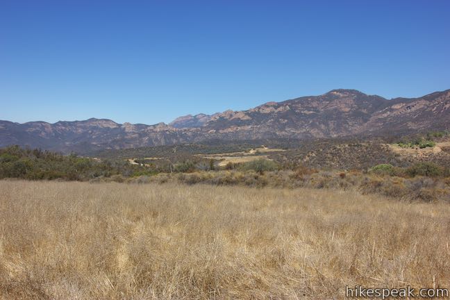
Take a trip to Arroyo Sequit Park to hike a short loop through a tucked-away pocket of the Santa Monica Mountains, The park is situated along Mulholland Highway inland of Leo Carrillo State Park and below the range’s most rugged peaks. The surroundings for this 2.05 miles hike are beautiful. Arroyo Sequit Nature Trail has 285 feet of elevation change, winding over and around the upper reaches of a canyon carved by the East Fork of Arroyo Sequit. The loop entertains hikers with views of an impressive satellite communications station, a seasonal waterfall, and an astronomical observation site.
Woolsey Fire Update: Arroyo Sequit is closed following the November 2018 Woolsey Fire. Check the Arroyo Sequit webpage for more information.
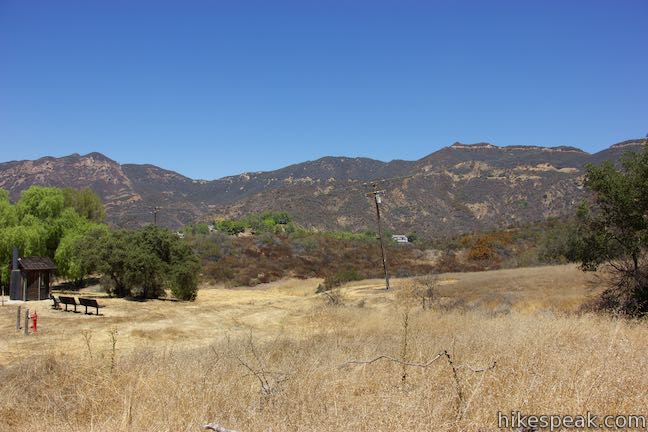
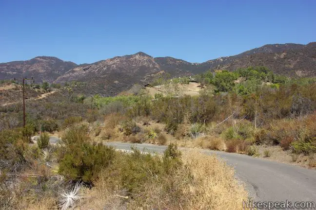
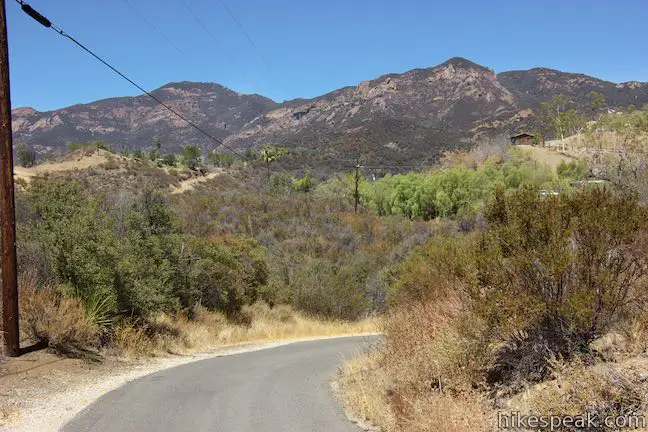
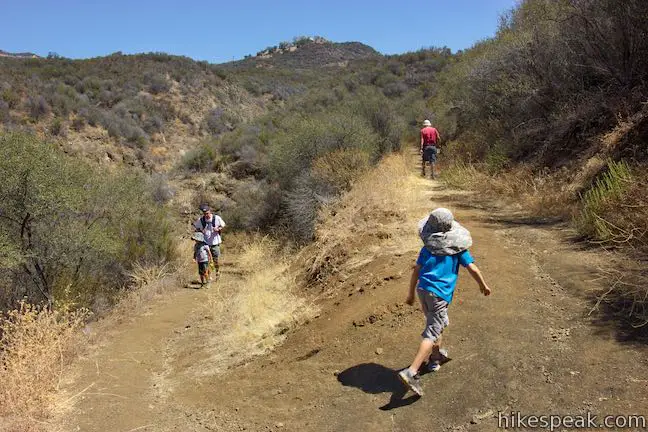
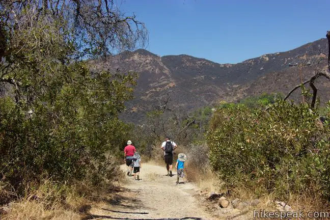
Arroyo Sequit Park is located toward the west end of the Santa Monica Mountains between Malibu and Thousand Oaks. The park entrance is 5.5 miles up Mulholland Highway from Pacific Coast Highway. Signs for Arroyo Sequit lead to a paved single-lane road, that immediately reaches a gate, information kiosk, and parking for half a dozen vehicles. Set out on foot, passing around the gate to begin with 0.2 miles of pavement on Mason Road.
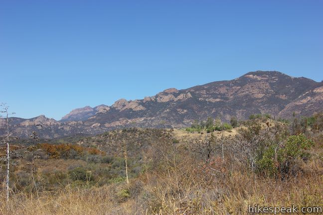
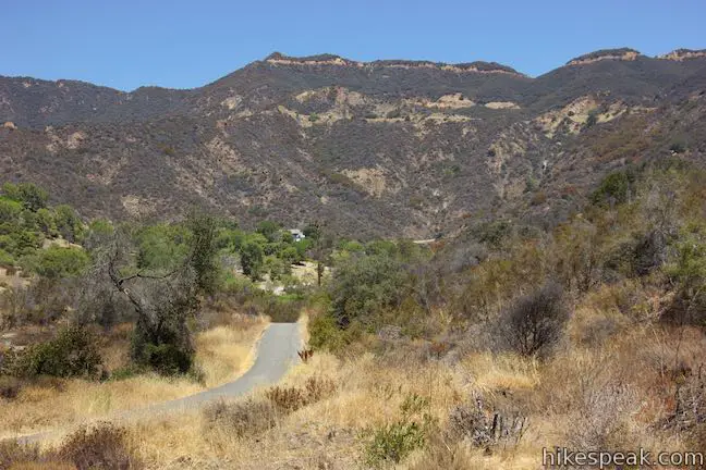
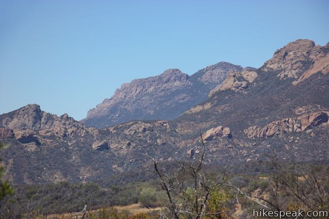
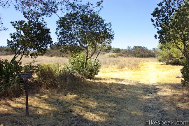
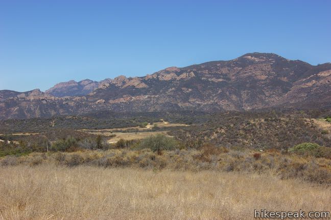
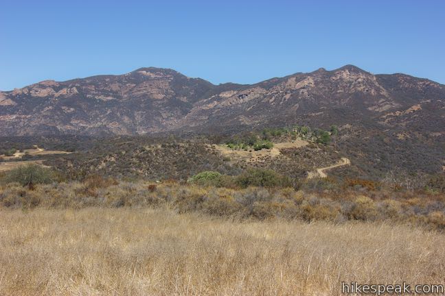
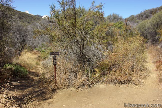
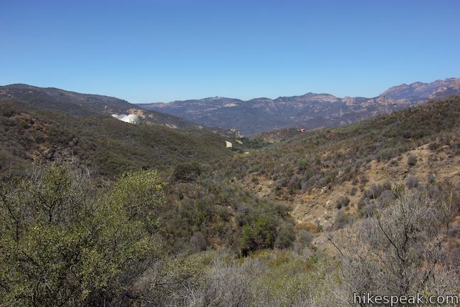
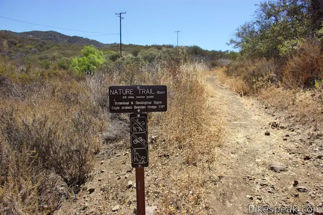
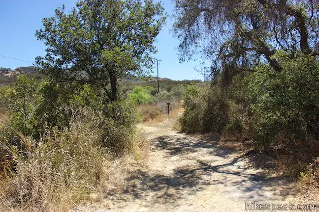
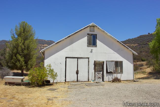
To your right, find excellent views of the Boney Mountains, a chain of bedrock-exposed peaks that rise above the canyon. The road takes a rolling route uphill into Arroyo Sequit Park, which covers 155 acres and was previously used as a ranch. A ranch house and barn are now part of the park property. As you pass the house, you will come to the end of the pavement. A gravel road heads to the left toward a white barn. A trail sign indicates that an astronomical observation site is in this direction. To save that landmark for the end of the loop, take the single-track trail to the right of the sign and begin hiking Arroyo Sequit Nature Trail in a counter-clockwise direction (you could also take the loop in the opposite direction).
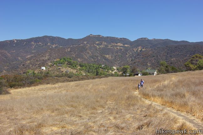
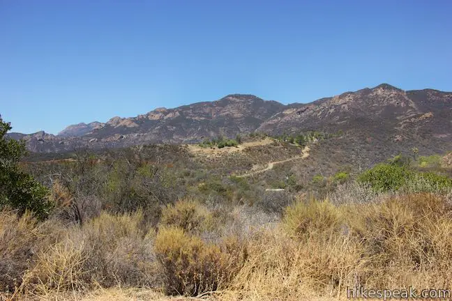
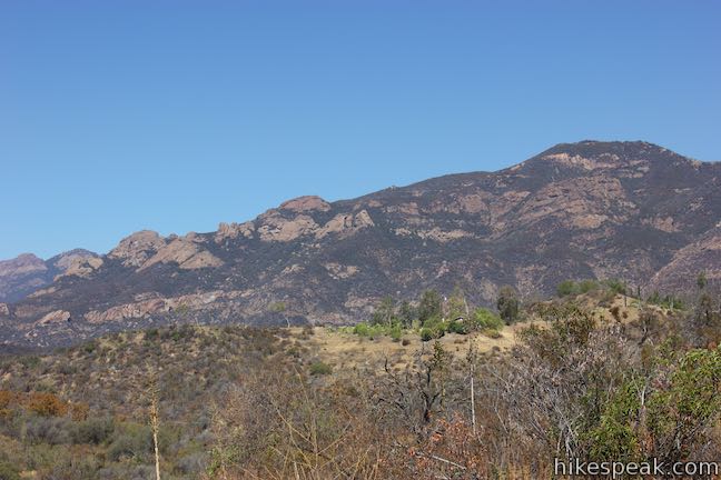
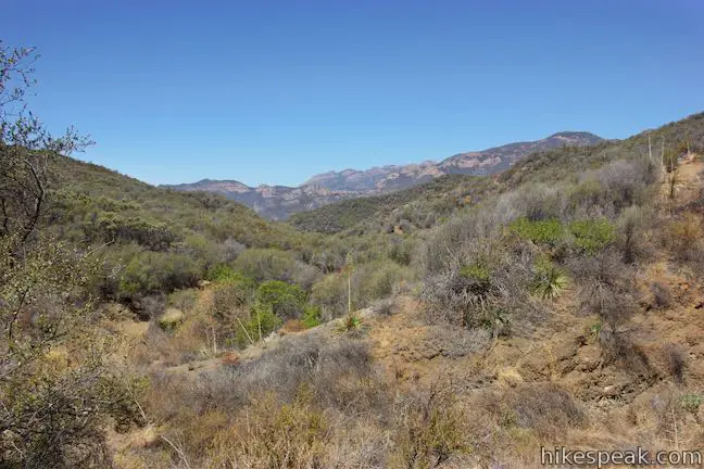
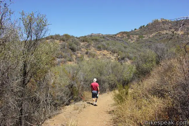
Hike straight off the end of the paved road onto a dirt single track that angles southwest across a field. Make your way into an open area to find expansive views of the Boney Mountains topped by Sandstone Peak.
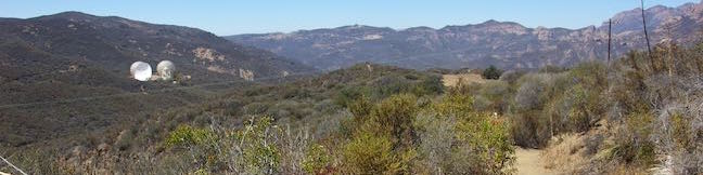
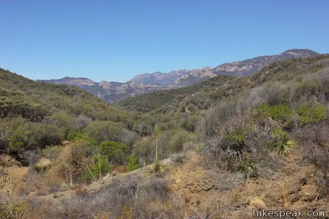
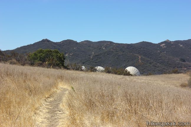
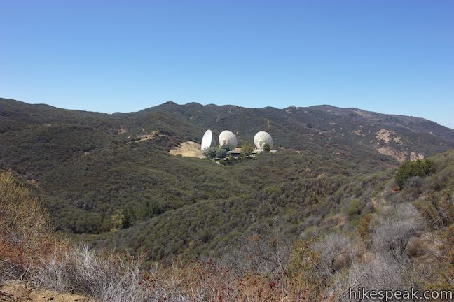
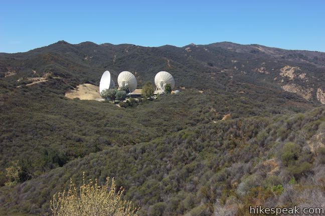
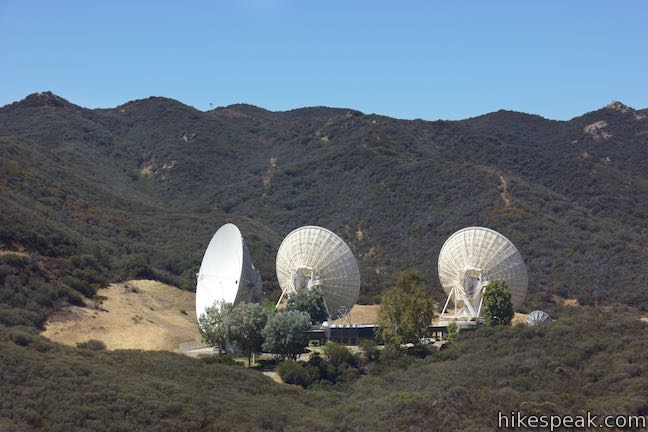
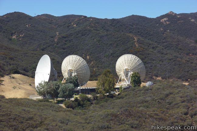
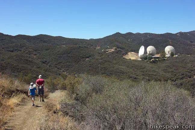
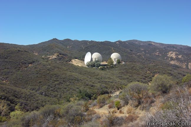
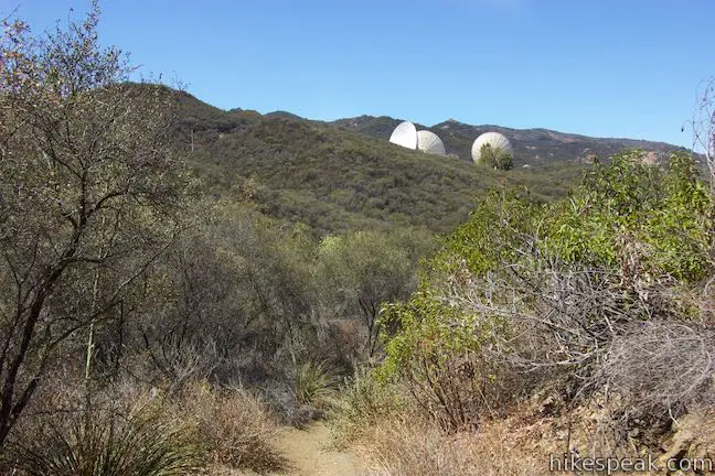
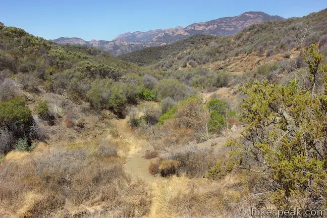
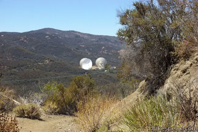
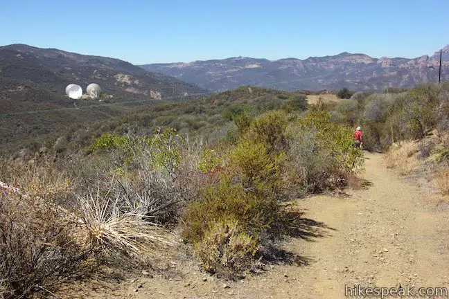
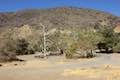
The trail quickly reach the edge of a canyon where the terrain tips downhill into a broad canyon carved by the East Fork of Arroyo Sequit. At the rim of the canyon, you’ll be compelled to stop and admire the perspective across the canyon toward three enormous white satellite dishes. Though it is surprising to see 11-story tall dishes breaking up the landscape, you will probably find them intriguing than intrusive. The satellite dishes in view make up the Triunfo Pass Earth Station, which is operated by AT&T.
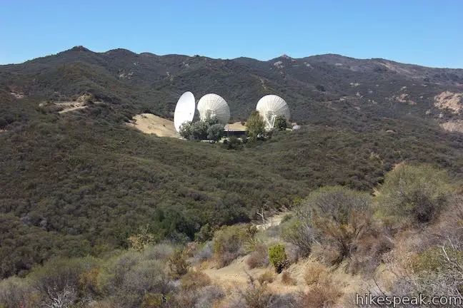
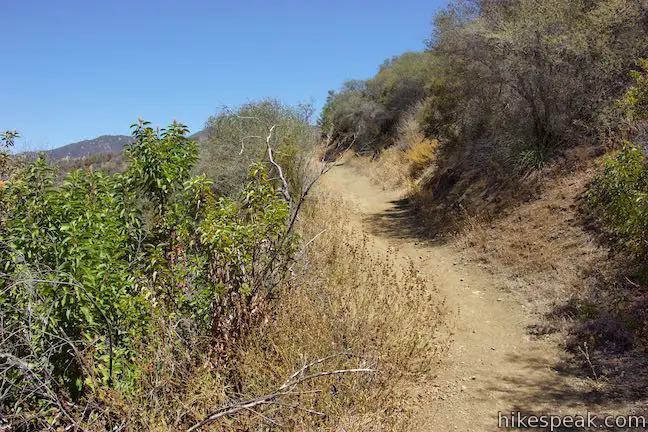
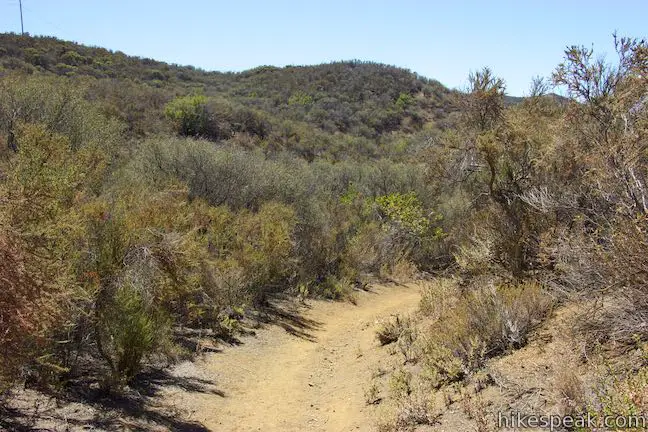
Arroyo Sequit Nature Trail leaves the flat grassland and turns downhill, weaving down the side of the canyon. The satellite dishes come in and out of view as you continue the hike. After a quarter mile long descent, and 0.6 miles from the start, you will reach a junction marked with a sign that reads ‘End of Nature Trail.’ Parting to the right is a 0.1-mile long trail connecting to Bardman Avenue. Stay to the left to proceed with the loop.
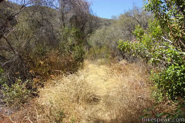
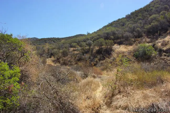
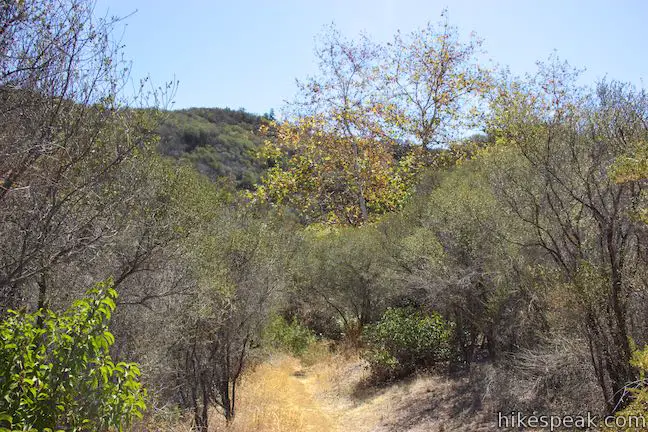
Arroyo Sequit Nature Trail may become overgrown as you push past the junction and cross the bottom of the canyon and a seasonal (probably dry) creek. Knee-high scratchy brush can crowd the trail in this area and a couple other sections of the hike, so long pants are recommended.
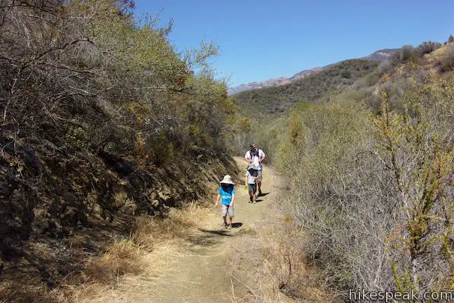
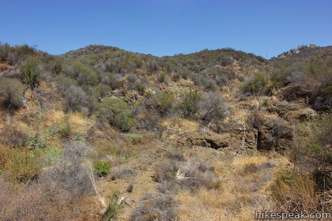
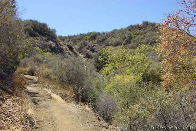
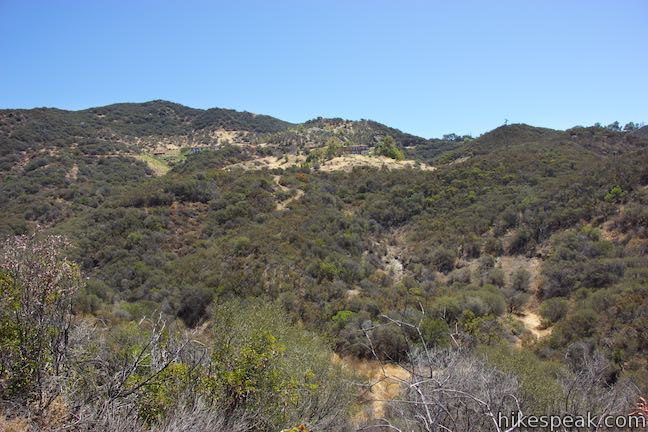
After crossing the creek, the trail turns left and ventures uphill along the opposite side of the canyon. The vegetation becomes tame again, providing a wide path through chaparral. A quarter mile past the junction, the trail turns downhill and crosses the creek bed twice at an elbow in the East Fork of Arroyo Sequit. Hike straight through this double crossing and head uphill on the other side through a couple switchbacks. As the trail folds back on itself, you’ll find nice views looking back down the canyon.
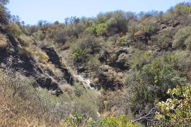
Arroyo Sequit Nature Trail progresses east above the canyon floor. Pass below a sycamore at a spot with denser vegetation courtesy of a side creek that enters the canyon. Ahead, the trail rises up a switchback to the right and lines you up for a view into this side canyon above the sycamore where you will spot a waterfall during rain periods or a dry fall during the drier months.
After the waterfall, the trail makes a sharp left and takes a windy route around the east end of the canyon. During the spring, look for wildflowers along the trail and verdant vegetation like wild cucumbers and wild peonies. The photos shown here were taken in the summer, but Arroyo Sequit is regarded is one of the area’s best hiking spots for spring wildflowers.
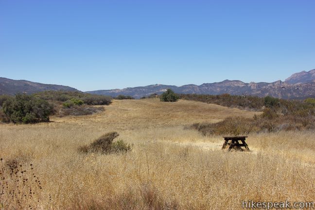
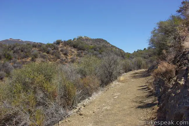
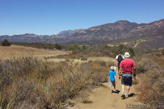
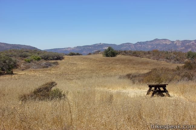
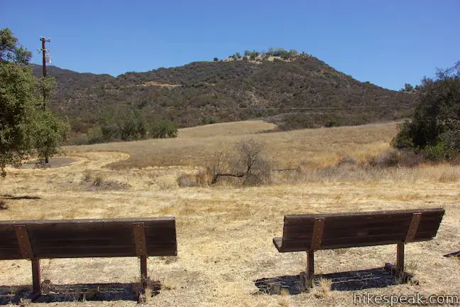
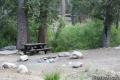
As the loop begins to close, you’ll rise up the north side of the canyon for renewed views of the satellite dishes to the southwest. Hike away from the canyon going gradually downhill along the side of a grassy field. A picnic table placed along the trail offers a sunny spot to take a break.
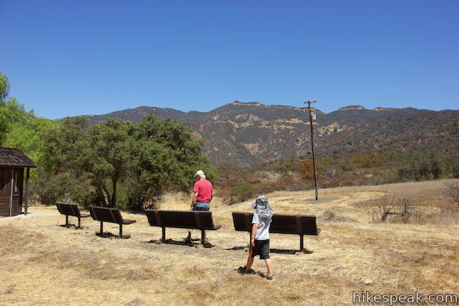
At 1 2/3 miles from the start, reach the end of the single track at a junction with a gravel road. A sign for the nature trail will assists those hiking the looop in the opposite direction. Turn left down the gravel road and pass through a cluster of trees to arrive at the Santa Monica College Astronomical Observation Site after another tenth of a mile. Four benches are set up in a clearing for skyward viewing. This spot was chosen for its distance from Los Angeles city lights. A sign explains that Santa Monica College uses the site for telescope observing sessions and that their astronomy department can be contacted for information on upcoming sessions. A vault toilet is located next to the observation site, as well as a nicely shaded picnic table.
Leave the astronomical observation site, pass a white barn, and walk down the last bit of the gravel road to close the loop. Turn right and take the paved road back to the parking area to complete this 2.05-mile hike (of which 1.45 miles is on the single-track Arroyo Sequit Nature Trail).
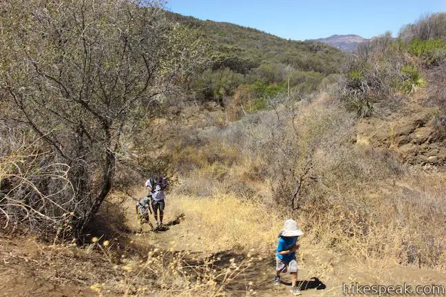
Arroyo Sequit Park is isolated from other sections of Santa Monica Mountains National Recreation Area. The loop on Arroyo Sequit Nature Trail is the park’s only hike. Because of these two factors, Arroyo Sequit seems to receive few visitors and provide plenty of solitude. Wear long pants to avoid being scratched by brush. Dogs (on leashes), bikes, and even horses are allowed on this outing. No fee is charged to park at the trailhead and no permit is required for this hike, so get out and enjoy!
To get to the trailhead: Take the 101 Freeway to exit 40 in Thousand Oaks and head south on Route 23. After 7 miles on Route 23, bear right on Mulholland Highway. Drive 1.8 miles and turn left into the unmarked park entrance.
Coming from the coast, take Pacific Coast Highway to Malibu and turn inland on Mulholland Highway. Drive 5.5 miles and make the first right after a sign for Arroyo Sequit. Take the paved single-lane road labeled on maps as Mason Road down to a small parking area in front of a gate where the hike begins.
If the small parking area is full, you can find additional parking along Mulholland Highway just outside the park entrance.
Trailhead address: 34138 Mulholland Highway, Malibu, CA 90265
Trailhead coordinates: 34.08895, -118.8907 (34° 05′ 20.21″N 118° 53′ 26.51″W)
You may also view a regional map of surrounding Los Angeles trails and campgrounds.


 | Nicholas Flat via Malibu Springs Trail This scenic 7-mile round trip hike ascends 1,425 feet to meadows and a pond on Nicholas Flat in Leo Carrillo State Park. |
 | Nicholas Flat Trail - Willow Creek Trail Loop This 2.05-mile loop in Leo Carrillo State Park wraps around a coastal ridge and tops out at an ocean vista with broad views. |
 | Nicholas Flat via Nicholas Flat Trail This scenic 7 to 7.6-mile hike ventures from the coast in Leo Carrillo State Park up into the mountains to a grassy flat with a small pond. |
 | Sandstone Peak This 6.25-mile loop summits the tallest peak in the Santa Monica Mountains. |
 | The Grotto This 3-mile out and back hike visits a remote grotto in the Santa Monica Mountains National Recreation Area. |
 | More trails in the Santa Monica Mountains Explore other destinations in the range. |
 | Leo Carrillo State Park Campground This coastal Malibu campground offers 135 sites with easy beach access and nearby trails. |
 | More campgrounds around LA Check out a few other places to camp in Los Angeles County. |
Arroyo Sequit in California's National Parks: A Day Hiker's Guide by John McKinney
Arroyo Sequit in Afoot and Afield: Los Angeles County by Jerry Schad
Arroyo Sequit on trails.lacounty.gov
Trails of Leo Carrillo State Park and Arroyo Sequit on venturacountytrails.org
Arroyo Sequit on nobodyhikesinla.com
Arroyo Sequit on wikipedia.org
Arroyo Sequit on conejovalleyguide.com
Triunfo Pass Earth Station on wikimapia.org
The official trail map for Arroyo Sequit
The official National Park Service webpage for Arroyo Sequit
Go the extra miles...
Submit a rating of this hike to go with your comment. Contribute to the average trail rating.