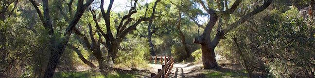
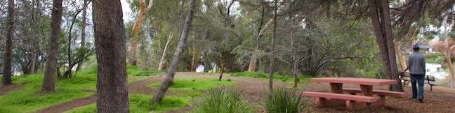
Hollywood Sign via Innsdale Drive Trail Mulholland Highway Trail Mount Lee Drive Hike Griffith Park Los Angeles California
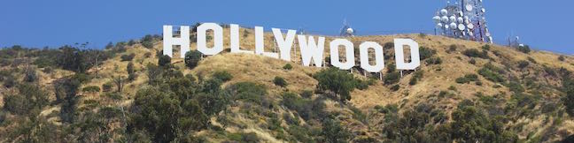
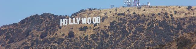
With the public access closure of the trailhead at the top of Beachwood Drive for the Hollyridge Trail, hikers have lost a key route to the Hollywood Sign on Mount Lee. Those wanting to hike to the sign are now being encouraged to start up Brush Canyon Trail from a trailhead on Canyon Drive for a 6.4-mile hike to Mount Lee's famous sign. While this is a great option for those with the time... Read more.
OK! Add to trails I’ve hiked
OK! Add to trails I want to hike
Tagged with · Free Trails · Hollywood · Dog-Friendly Trails · Griffith Park · Santa Monica Mountains
Distance: 4.6 miles · Elevation change: 750 feet
By: Published: Last updated: May 28, 2021
Oak Creek Canyon Loop Trail Los Robles Open Space Thousand Oaks California Santa Monica Mountains
Oak Creek Canyon Trail is a rather special trail in Los Robles Open Space that is designed for the blind as well as the sighted. The all-access nature trail has a dozen and a half signs in English and Braille. While blind hikers will probably want to turn around at the end of the guide fence, for a 0.55 mile hike with 50 feet of elevation change, others may continue on to a loop trail for a... Read more.
By: Published: Last updated: December 7, 2018
Cedar Grove and Vista View Point Hike Vista Del Valle Drive Griffith Park Helipad Los Angeles California
Away from many of the tourists drawn to Griffith Park's great landmarks (like Griffith Observatory and the Hollywood Sign), you'll find locals enjoying views of their city from Vista View Point, also know as the helipad site. This overlook along Vista Del Valle Drive presents a broad perspective over downtown Los Angeles, Hollywood, and Griffith Park sites like the Greek Theater and the... Read more.
OK! Add to trails I’ve hiked
OK! Add to trails I want to hike
Tagged with · Free Trails · Hollywood · Dog-Friendly Trails · Griffith Park · Santa Monica Mountains
Distance: 2.3 miles · Elevation change: 400 feet
By: Published: Last updated: January 11, 2018
Griffith Observatory to the Hollywood Sign Directions Griffith Park hike Los Angeles California
Are you trying to get from the Griffith Observatory to the Hollywood Sign? Perhaps Google Maps lead you to Griffith Observatory when you were trying to get driving directions to the Hollywood Sign or maybe you are just eager to hike between Griffith Park's two biggest landmarks. It is possible to walk from Griffith Observatory to the Hollywood Sign. However, the route is not direct and... Read more.
OK! Add to trails I’ve hiked
OK! Add to trails I want to hike
Tagged with · Free Trails · Summits · Griffith Park · Santa Monica Mountains
Distance: 8.8 miles · Elevation change: 575 feet
By: Published: Last updated: August 31, 2023
Winnetka Ridge Trail Santa Monica Mountains hike Woodland Hills Winnetka Avenue Trail Topanga State Park
If you like ridge top views without the effort of hiking all the way up a ridge, make your way to the end of Winnetka Avenue in Woodland Hills. From there, Winnetka Ridge Trail runs south along the spine of a ridge into the Santa Monica Mountains. The ridge stands above the west side of Corbin Canyon and delivers broad views over the San Fernando Valley. After 3/4 of a mile, Winnetka Ridge... Read more.
By: Published: Last updated: January 17, 2018