Old Salmon River Trail
in Mount Hood National Forest
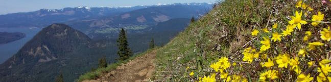
Columbia River Gorge | Oregon | Trails Trail Rating:
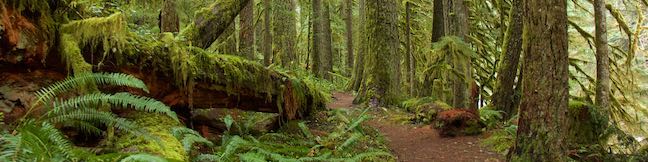
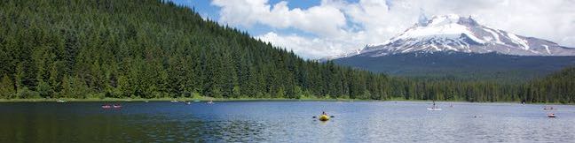
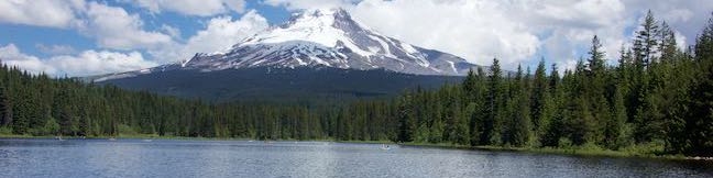
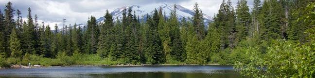
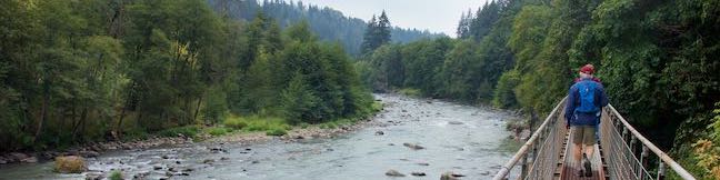
After just one bend on Old Salmon River Trail, you will already feel deep within the old-growth forest that surrounds the Salmon River as it flowing through Mount Hood National Forest. This Pacific Northwest woodland feels timeless, or perhaps from another time altogether, with its tall, century-old Douglas firs absolutely covered in green moss. Old Salmon River Trail is 2. ...Read more.
By: Published: August 10, 2020 Last updated: December 5, 2025