Castle Dome via Crags Trail
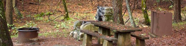
in Castle Crags State Park
Trail Rating:
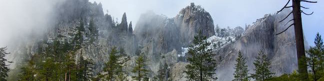
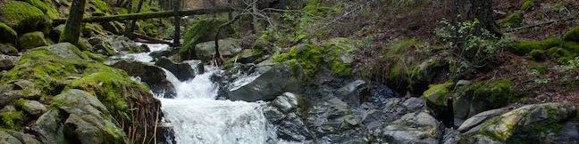
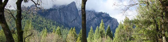
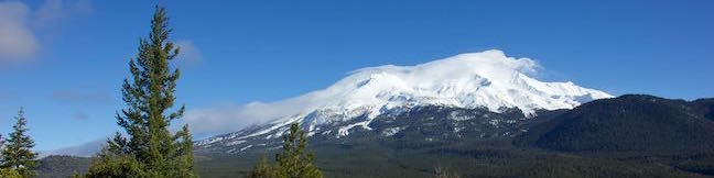
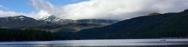
Spectacular granite peaks known as the Castle Crags tower over Castle Crags State Park in Northern California. This dramatic enclave of peaks is largely inaccessible to hikers, but you'll get a great taste of the Castle Crags on Crags Trail, which climbs to the foot of Castle Dome, a 4,996-foot granite dome that looks plucked from the Sierra. Although Crags Trail stops below the summit of Castle Dome, it gains 2,150 feet of elevation on a sincere ascent through a jungle of granite crags. ...Read more.
By: Published: January 22, 2015 Last updated: December 5, 2025