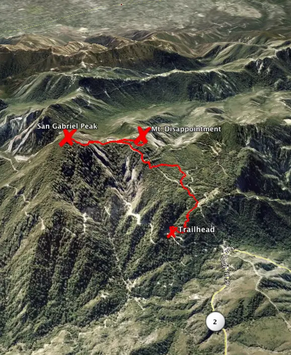
Mount Disappointment Fire Road to San Gabriel Peak in the San Gabriel Mountains

Often, an ideal hike starts with a level warm-up and gradually works into a rewarding climb. This hike is different, beginning with a jolt of several steep switchbacks. Your heart rate will go up quickly, and then the trail keeps climbing all the way to San Gabriel Peak. It is 4 miles round trip to the summit, gaining 1,400 feet of elevation gain. Visit the adjacent summit of Mount Disappointment for a 4.5-mile outing.
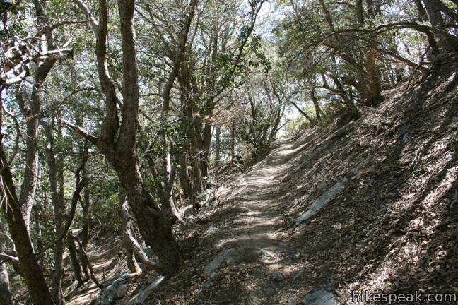
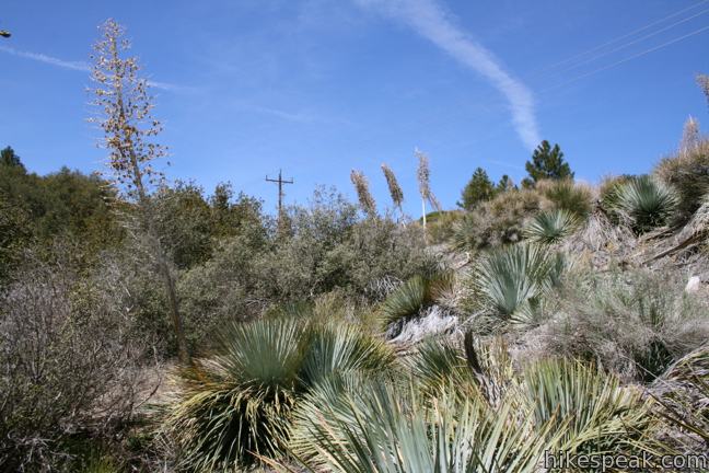
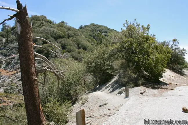
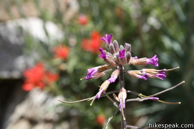
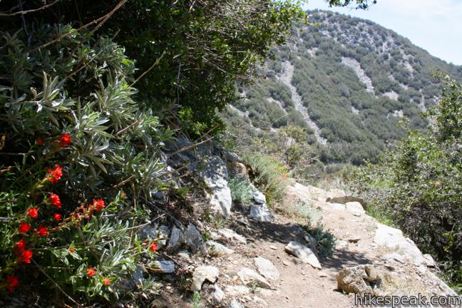
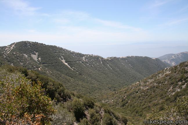
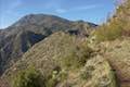
Spruce, oak and brush shade the trail as you begin the steep climb. At several points, the trees part to offer views of Mount Baldy (and excuses to catch your breath).
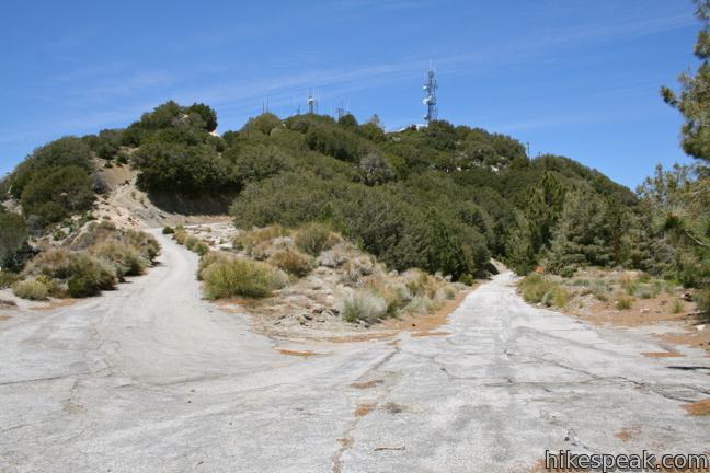
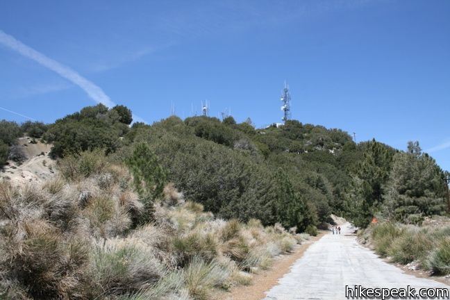
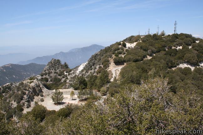
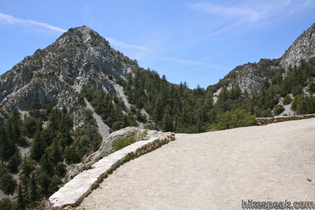
The switches level out as the trail joins Mount Disappointment Fire Road toward the top of the mountain (the longer paved route for bikers). The road reaches a small clearing covered with cement slabs. Here the road turns sharply to the right and finishes the climb to the summit of Mount Disappointment.
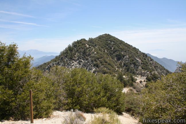
Continuing up to the top of the mount will add another half mile to your hike, along with views of some old military installations, San Gabriel Peak, and the lower San Gabriel Mountains.
Over a hundred years ago, surveyors named this rock Mount Disappointment. After reaching the top, they realized that the high peak they sought was actually San Gabriel Peak, which is two hundred feet taller and just a bit farther to the east. Modern visitors however, will not be let down.
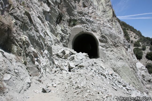
Mount Disappointment served as an air-defense Nike Missile site in the 1950s. Buildings and radio towers from the military installation still stand on the mountain. To visit other Nike missile sites around Los Angeles, check out San Vicente Mountain in the Santa Monica Mountains and White Point on the Palos Verdes Peninsula.
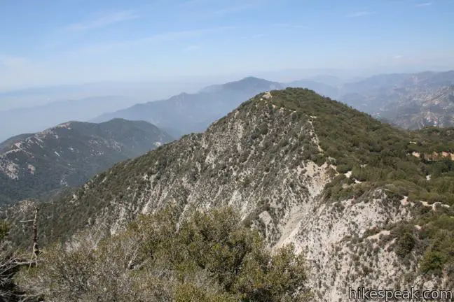
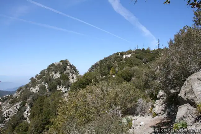
San Gabriel Peak and Mount Disappointment are so close together that it is very easy to see both summits in one hike. And yes, the views are different enough to warrant the extra effort.
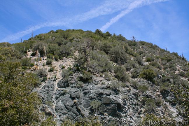
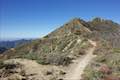
Get to the summit of San Gabriel Peak by returning to the clearing beneath Mount Disappointment. Take the unmarked trail across the saddle between the peaks. As you pass along the saddle, you will cross another trail leading up San Gabriel Peak from Mount Lowe Road. Continue straight ahead and start the final climb to the summit. This is another fairly steep trail of about half a mile in length.
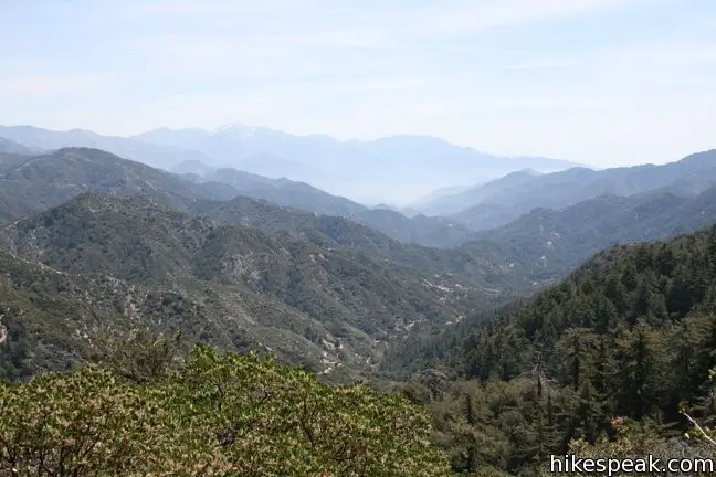
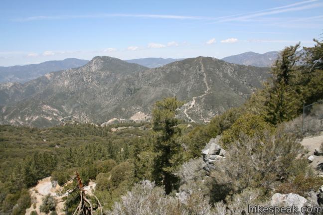
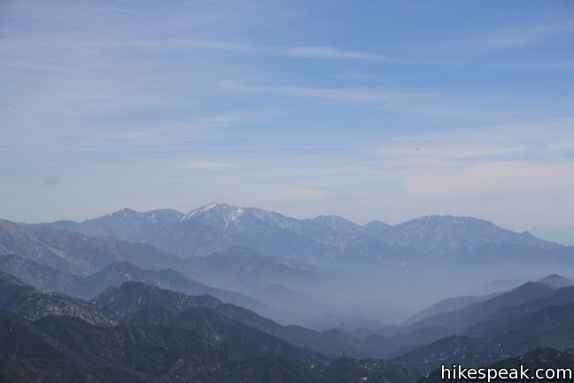
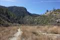
The summit lies at 6,161 feet, offering views of Mount Baldy, Mount Wilson, Mount Lowe, Mount Disappointment, Strawberry Peak, and many more. Legend has it, you can see Catalina Island on a clear day, but you probably won’t see much beyond Pasadena.
Take in the view before returning the way you came. The round trip distance of this hike to San Gabriel Peak is 4 miles (4.5 if you visit Mount Disappointment). The alternate route to the summit from Mount Lowe Road is 0.8 miles shorter with 1,050 feet of elevation gain.
To get to the trailhead: From the 210 Freeway in La Cañada Flintridge, take the Angeles Crest Highway (CA 2) northwest for 14 miles (4 miles past the turnoff for Switzer Picnic Area). Turn Right on to Mount Wilson Road Box Road (After mile marker 38). Drive 1/3 of a mile and make the first right on the Mount Disappointment Fire Road. The roads leads up to a small parking lot. Display your adventure pass and start hiking. The trail is unmarked but easy to locate.
Trailhead address: Mount Wilson Red Box Road & Mount Disappointment Road, Angeles National Forest, Altadena, CA 91001
Trailhead coordinates: 34.25455, -118.1021 (34° 15′ 16.4″N 118° 06′ 07.55″W)
View San Gabriel Peak in a larger map
Or view a regional map of surrounding Los Angeles trails and campgrounds.
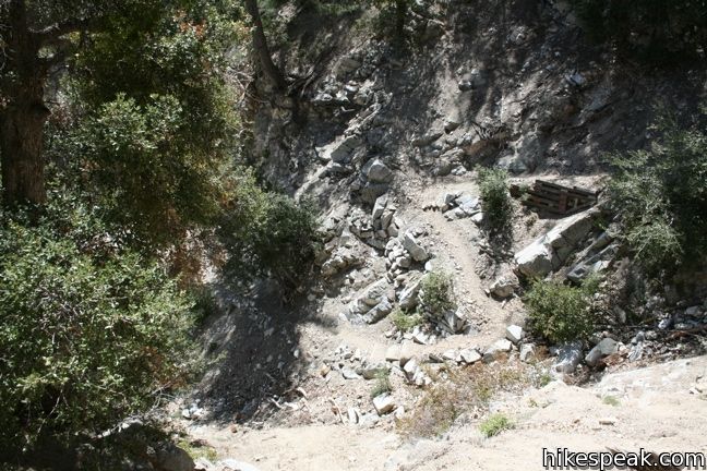
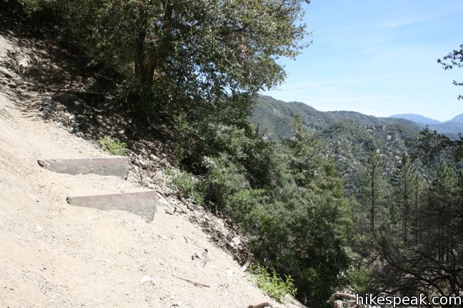
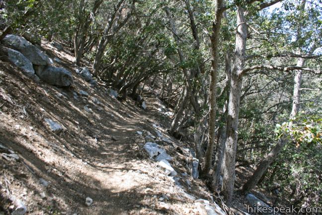
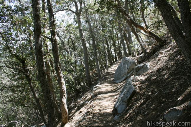
The trail from Mount Disappointment Fire Road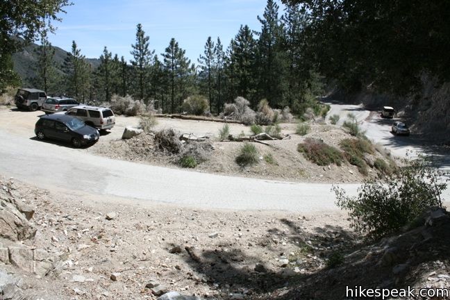

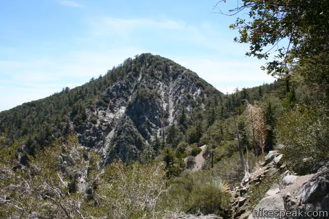

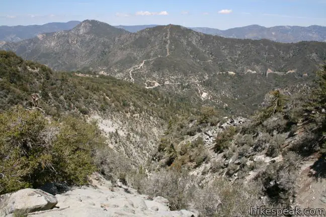
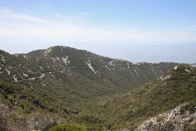
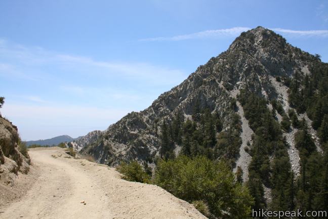
Views from San Gabriel Peak and Mount Disappointment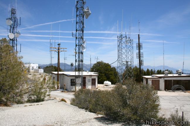


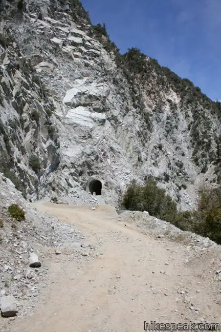
The trail from Mount Lowe Road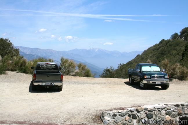


 | San Gabriel Peak from Mount Lowe Road This 6,161 foot peak is also reachable via a 3.2-mile round trip trail from Eaton Saddle. |
 | Inspiration Point & Mount Lowe Trail Camp This 7.25-mile round trip hike descends Mount Lowe Road into the San Gabriel Mountains to a historic scenic overlook and a trail camp built on interesting ruins. |
 | Strawberry Peak This 7.5-mile hike to the highest summit in the front range of the San Gabriel Mountains starts out gradual and becomes steep, presenting grand views of surrounding mountains and the cities below. |
 | Strawberry Meadow This 9 to 11-mile hike goes around Strawberry Peak to a remote and scenic flat below a massive cliff on the north side of the mountain, offering views of Big Tujunga Canyon and surrounding peaks along the way. |
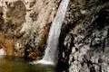 | Switzer Falls This 4.5-mile hike starts out above and finishes below a 50-foot tall waterfall. |
 | Colby Canyon Trail to Josephine Peak This 8.7-mile hike ascends an infrequently visited canyon off Angeles Crest Highway up to a saddle below Strawberry Peak and then takes a wide dirt road up to a summit in the front range of the San Gabriel Mountains with 360-degree over Big Tujunga Canyon and cities to the south. |
 | More trails in the San Gabriel Mountains Explore other destinations in the range. |
what about this trail? any mountain lions that could maul me to bits?
Mountain lions live around all these trails but are rarely seen.
How does this place look in the beginning of December? Do they get snow? Is it still possible to hike?
One of the best ways to check the conditions in the San Gabriel Mountains is to look at the Mount Wilson web cam. Mount Wilson is right next to San Gabriel Peak, so if there is snow there, it will be snowy on San Gabriel Peak too.
I hiked San Gabriel peak on 6/19/2014. Just beware of the poodle dog bush that covered 2/3 of the peak. I strongly recommend to google the plant for those who are not familiar with that.
I did this hike some time ago and went up via JPL trail and headed all the way up to San Gabriel Peak. On my way back also bagged Mount Disappointment & Mount Deception. We started late in the afternoon and took a bit longer than estimated. Hiking in pitch black was scary and awesome.
Check out that adventure
https://www.youtube.com/watch?v=pmrORl3eY64