Riddle Lake Trail
in Yellowstone National Park
Riddle Lake Trail delivers an easy day hike across the Continental Divide to one of Yellowstone’s backcountry lakes. The 5-mile round trip hike is almost as flat as the lake itself, with 100 hard-to-detect feet of elevation change. Riddle Lake is a beautiful blue body with a small beach. The lake is surrounded by lodgepole pine and mountain views. Even through the trail is easy enough for just about everyone, there is a good chance you will have the lake all to yourself, which is a bonus in this popular national park.
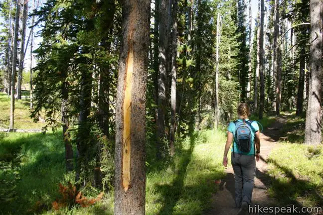
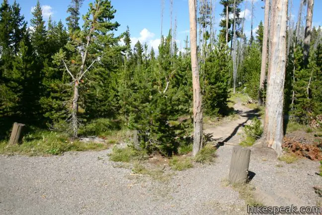
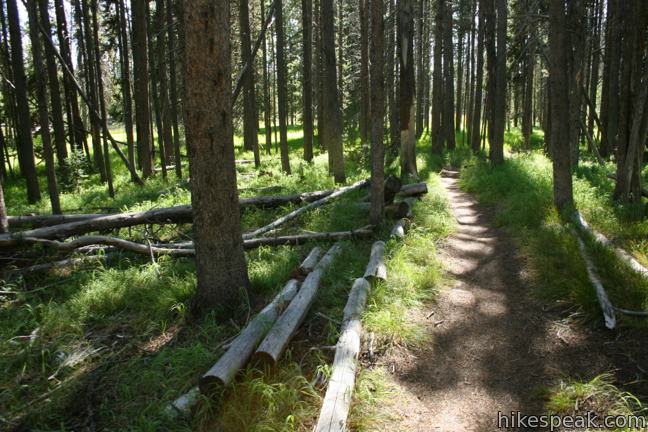
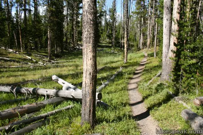
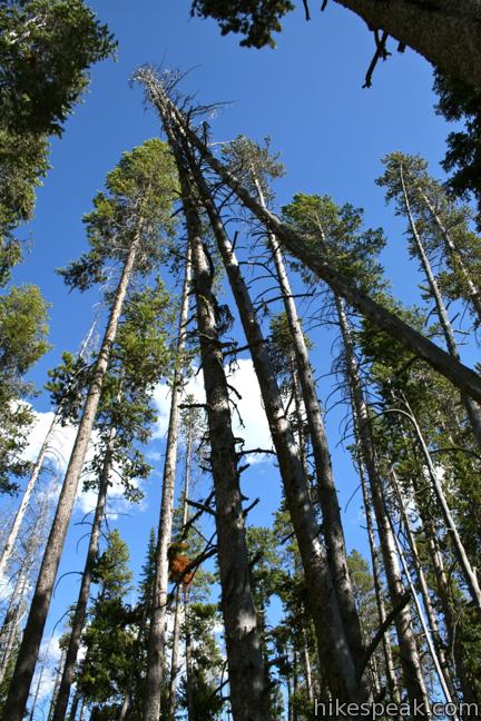
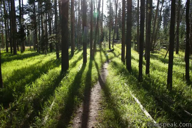
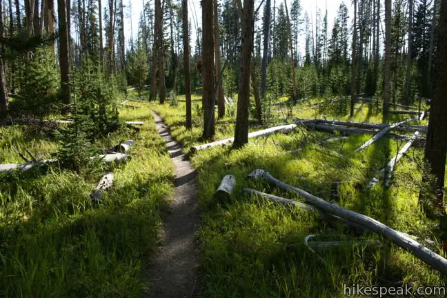
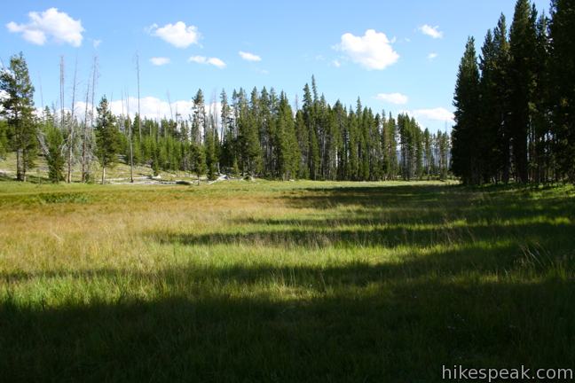
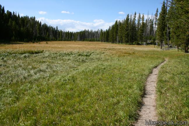
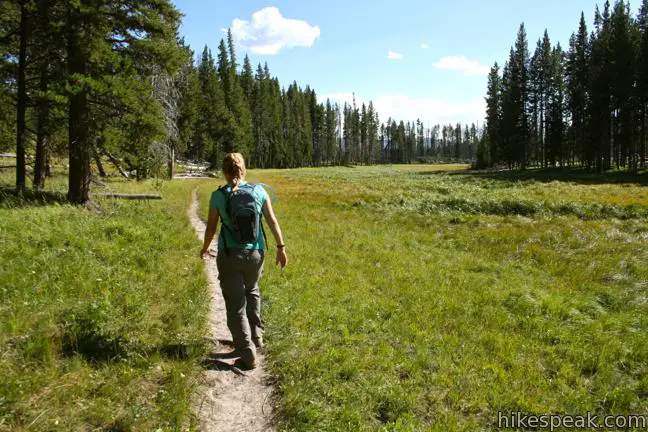
The dirt single track begins at an elevation of 8,000 feet from a trailhead on South Entrance Road, just south of the West Thumb of Yellowstone Lake (home of the West Thumb Geyser Basin). The trail passes through tall pine forests and along grassy meadows. As you hike briskly along the verdant level landscape, keep an eye out for wildlife. This is a bear management area and Riddle Lake Trail actually closes to the public between April 30 and July 14 each year to avoid disturbing the bears. Outside that time frame, you should stay on the look out for bears. Make lots of noise while you hike, carry bear spray, and generally avoid hiking in the early morning if you prefer to avoid encounters with bears. You will pass several tree trunks covered in scratch marks, offering fresh evidence that bears frequent this area.
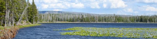
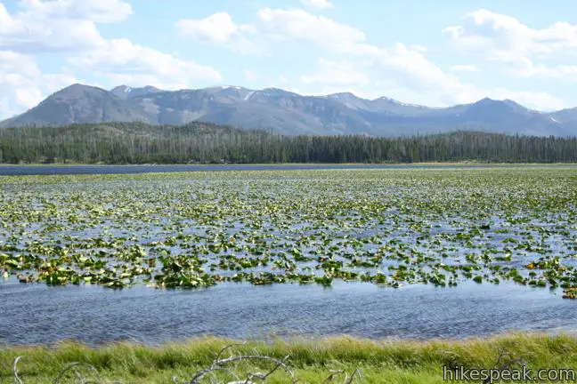
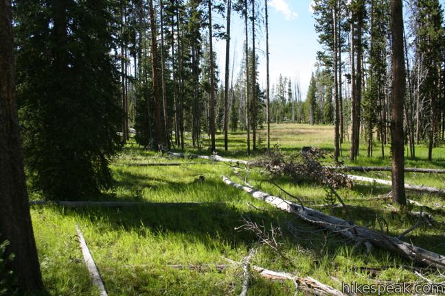
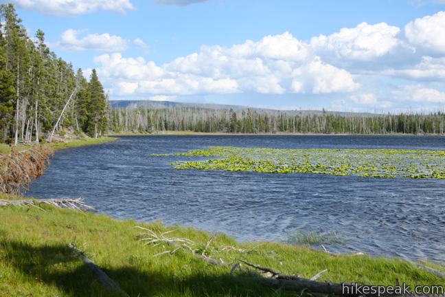
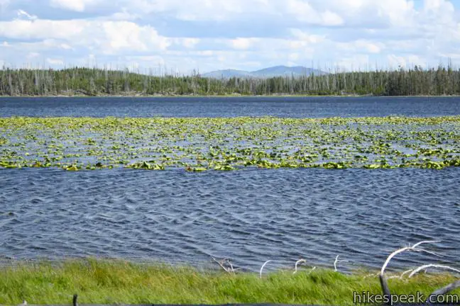
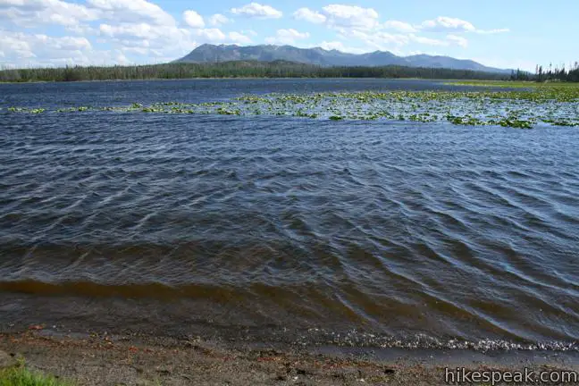
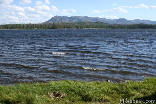
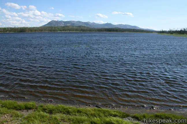
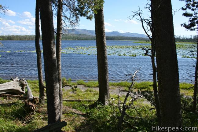
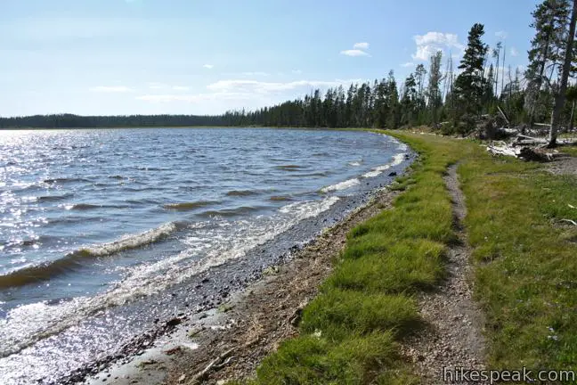
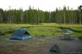
After 1.75 miles of pleasant woodlands, the dirt track approaches a lily pad-covered marsh that precedes Riddle Lake. A blue streak appears at the east end of the marsh, and you will reach the lake after another quarter mile. Even more lily pads cover the shallows of the sizable lake. Riddle Lake covers 275 acres and is surrounded by pines. After reaching the water’s edge, you will have open views south toward Mount Sheridan and the Red Mountains.
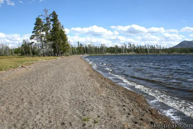
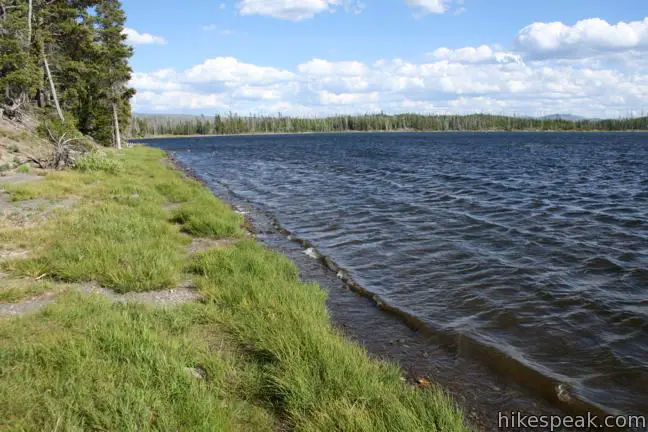
The trail shrinks, as some hikers appear to turn around as soon as they reach the lake, but you may continue another half mile through the forest along the lake shore to reach a small beach at the northeast end of the lake. Relax and sunbathe on the rough sand beach, listening to the miniature waves that slowly roll up on shore.
By now you are probably wondering how the lake got such a curious name. Initially it was though that Riddle Like might be a two-ocean lake, sitting on the Continental Divide with water flowing east and west. The riddle folks tried to solve was which side the lake was actually on. The answer came when more accurate maps showed that the lake clearly resided east of the divide. Today there is a new riddle. How will you ever pull yourself away from such a lovely backcountry lake?
Return the way you came. Yellowstone National Park has an entrance fee, but no permit is required to hike Riddle Lake Trail. Access is forbidden between April 30 and July 14 when the trail is closed for bear management.
To get to the trailhead: From Grant Village at the bottom of the West Thumb of Yellowstone Lake, Drive 2.3 miles south on South Entrance Road (Routes 191 and 89) to the trailhead on the east side of the road. From the other direction, the trailhead is 17.2 miles north of the south entrance of Yellowstone National Park.
Trailhead address: South Entrance Road (Route 191 & 89), Yellowstone National Park, WY 82190
Trailhead coordinates: 44.358408, -110.582163 (44° 21′ 30.26″N 110° 34′ 55.78″W)
View Yellowstone National Park in a larger map
Or view a regional map of surrounding Wyoming trails and campgrounds.


 | West Thumb Geyser Basin This 2/3 of a mile loop explores a hydrothermal area on the shore of Yellowstone Lake. |
 | Mud Volcano Area This hike of up to 2/3 of a mile visits a collection of sulfur-scented muddy springs. |
 | More trails in Yellowstone Explore other hikes to waterfalls and hydrothermal hot spots in Yellowstone National Park. |
 | Yellowstone National Park Campgrounds Twelve developed campgrounds with over 2,000 total sites are spread throughout Yellowstone. |
Looks like the area is recovering nicely from the fires of 1988. I have a pic of the same view as the middle pic from when I hiked this trail in August 2000, and there were still a lot of bare spots in the hills on the other side of the lake amid the dead trees. Not nearly as green as your pic!
Is the Continental Divide on the trail marked?