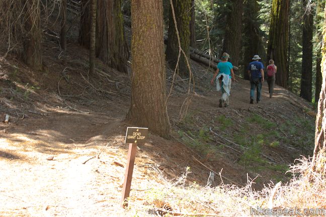
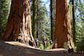
On the west side of the Grant Grove Area of Kings Canyon National Park, you will find the North Grove of Giant Sequoias, where hikers can set out downhill on a loop through a forest of big trees. North Grove Trail is 1.4 miles long and connects to Sunset Trail at both ends to form a 2-mile loop with 350 feet of elevation change. North Grove Trail combines nicely with the adjacent Dead Giant Loop Trail (which passes Sequoia Lake Overlook) for a 3.25-mile two-loop hike.
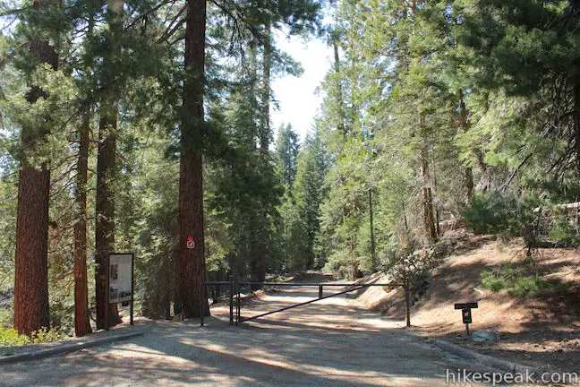
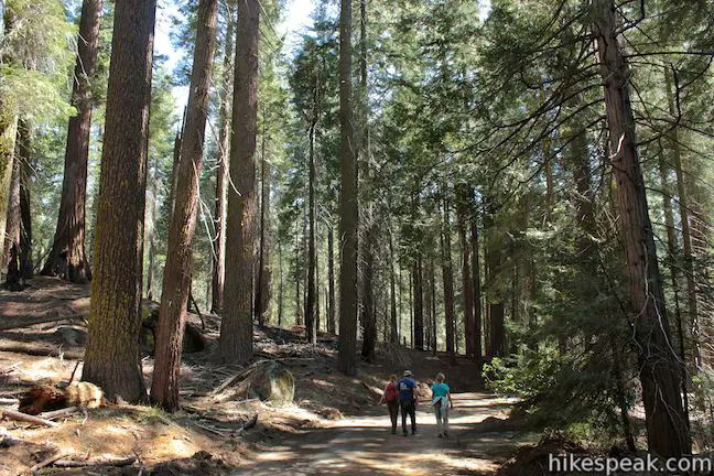
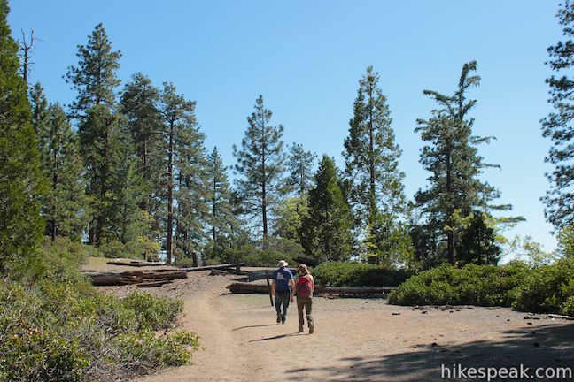
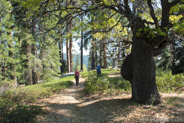
To reach the trailhead, drive to the large parking area for the Grant Grove and proceed down the parking lot to the left (west) of the trailhead for the General Grant Tree Trail. Pass bus and RV parking and come to a gate at the top of Sunset Trail where the hike begins. Compared to the forest around the General Grant Tree, the North Grove has less of everything – smaller concentrations of sequoias and a lot fewer visitors.
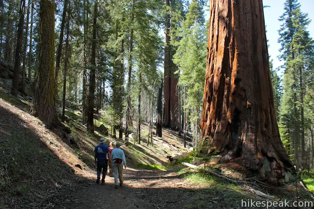
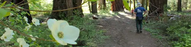
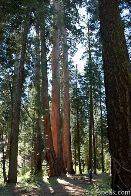
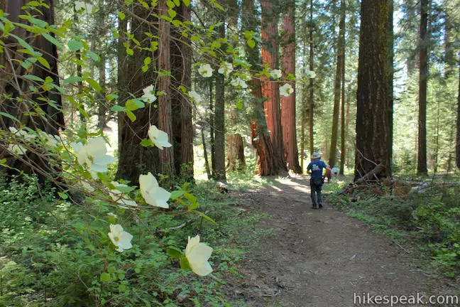
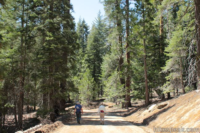
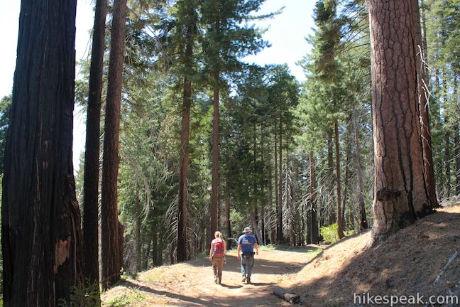
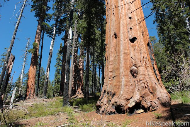
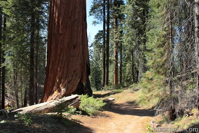
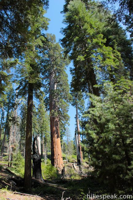
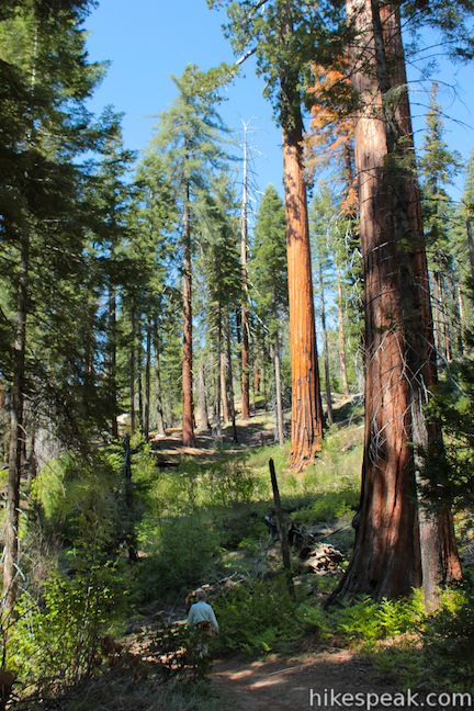
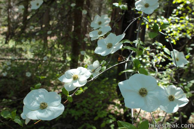
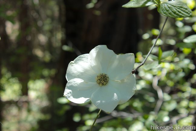
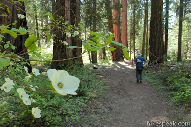
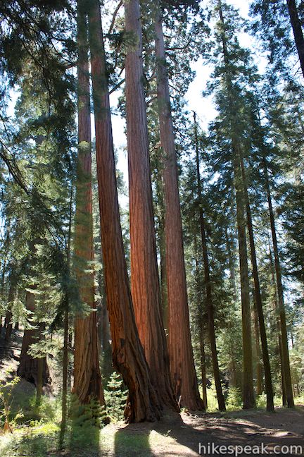
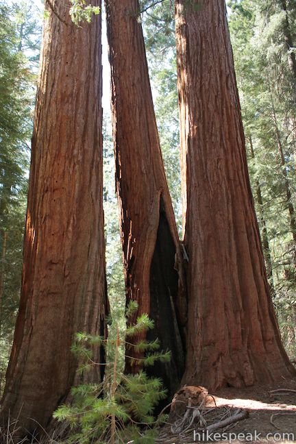
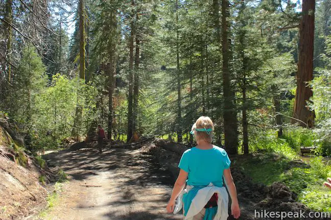
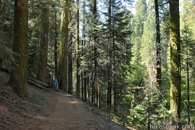
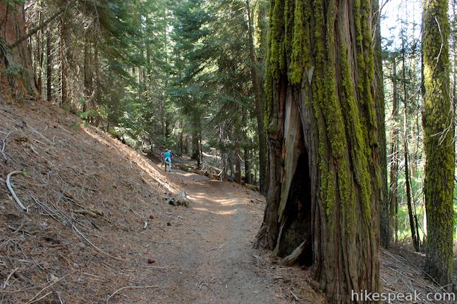
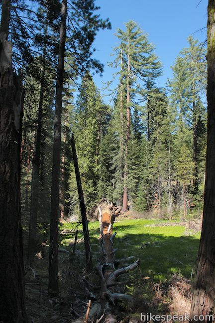
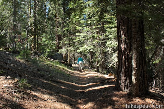
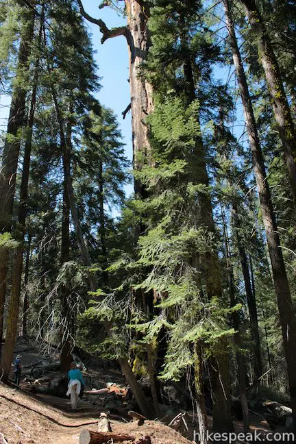
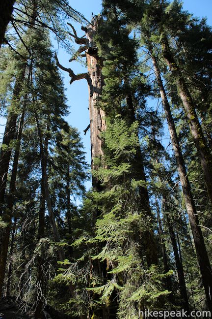
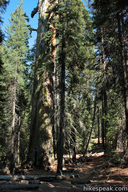
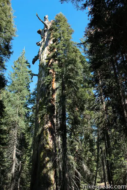
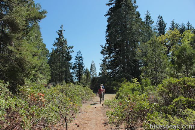
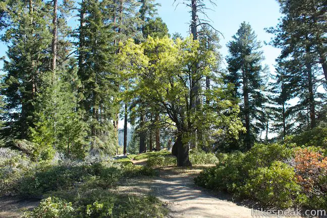
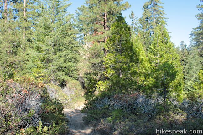
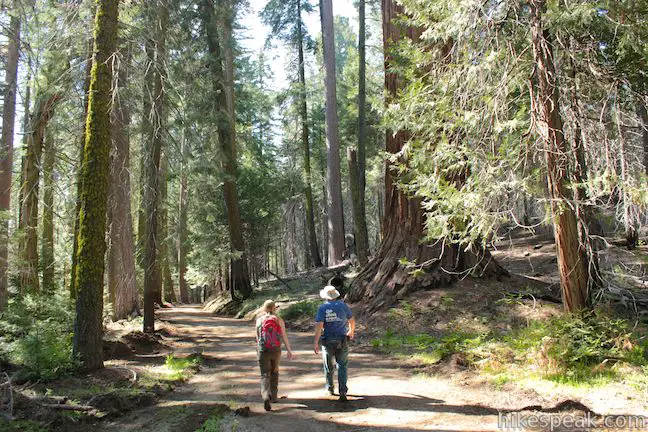
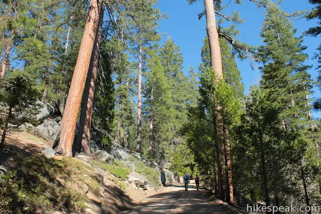
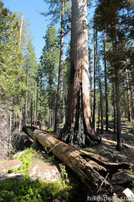
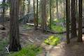
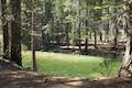
Stroll down the old paved road for a tenth of a mile to a marked split between Sunset Trail and North Grove Trail. Turn right onto North Grove Trail, a wide dirt trail that descends into a less-visited forest of sequoias. Clusters of these giants make big impressions as you hike through the North Grove. The mixed forest also includes ponderosa pines, sugar pines, incense cedars, white firs, and dogwood trees that bloom beautifully in the late spring. Enjoy the quiet forest and admire the broad golden trunks of the giant sequoias.
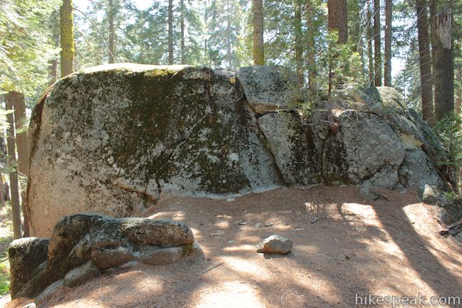
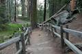
North Grove Trail takes a moderate course down a mountainside, dropping 350 feet (from the trailhead) to the low point of the loop. Large boulders break up the terrain as the trail curves left, holding to a counterclockwise circuit back to a T-junction with Sunset Trail, 1.4 miles from the first junction.
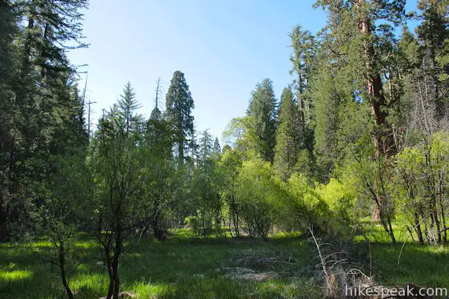
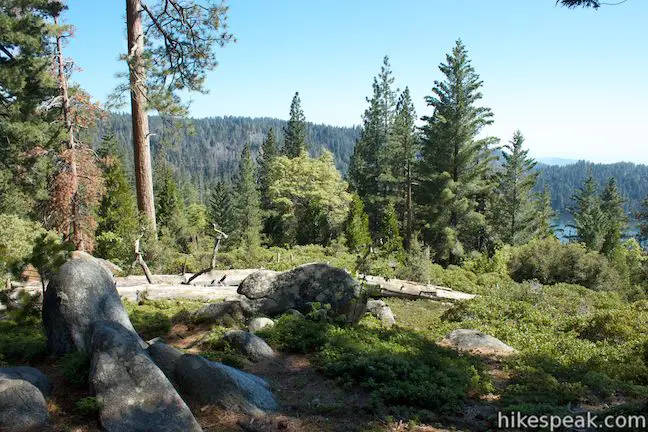
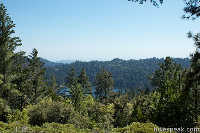
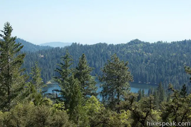
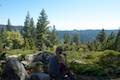
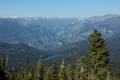
From the end of North Grove Trail, you can turn left and hike 0.5 miles back up Sunset Trail to the start, completing the 2-mile North Grove Loop. The once-paved road passes through more giant sequoias and pines. To get even more immersed in sequoias, turn right and descend a quarter mile to Dead Giant Loop Trail, a single track that reaches Sequoia Lake Overlook, which has broad views over a blue lake just outside the park to the southwest. Dead Giant Loop Trail is a highly recommended addition for those with the time and energy to hike just a bit farther.
The basic directions for the North Grove Loop are:
- Start down Sunset Trail (0 miles)
- Turn right down North Grove Trail (0.1 miles)
- Reach the end of North Grove Trail and turn left up Sunset Trail (1.5 miles)
- Pass the top of North Grove Trail (1.9 miles)
- Return to the trailhead (2 miles)
The basic directions for the North Grove and Dead Giant Loops are:
- Start down Sunset Trail (0 miles)
- Turn right down North Grove Trail (0.1 miles)
- Reach the end of North Grove Trail and turn right down Sunset Trail (1.5 miles)
- Turn right on Dead Giant Loop Trail and take the loop’s right fork (1.75 miles)
- Pass the Dead Giant (2 miles)
- Turn right on the spur to Sequoia Lake Overlook (2.15 miles)
- Take in the view from Sequoia Lake Overlook (2.2 miles)
- Turn right when you return to Fallen Giant Loop Trail and continue back to Sunset Trail (2.25 miles)
- Meet the start of Fallen Giant Loop Trail and turn left up Sunset Trail (2.5 miles)
- Pass the bottom of North Grove Trail (2.75 miles)
- Pass the top of North Grove Trail (3.15 miles)
- Return to the trailhead (3.25 miles)
Dogs and mountain bikes are prohibited on trails in Kings Canyon National Park. A national park entrance fee is required to visit the park, but you will not need a permit to hike through the North Grove, so get out and enjoy!
To get to the trailhead: From Fresno, drive east on Route 180. After some 50 miles, you will reach the Big Stump Entrance Station for Kings Canyon National Park. Proceed 1.7 miles to a three-way intersection. To the right, Route 198 heads south toward Sequoia National Park. Turn left to stay on Route 180 and drive another 1.6 miles north to an intersection with Grant Tree Road, the road to the Grant Grove. Grant Tree Road will be on the left, 0.2 miles after the Grant Village, which will be on the right. After turning left, you will pass the entrance to Azalea Campground on the left and proceed 0.75 miles down to the Grant Grove Parking Area, which you will find below a right bend at the bottom of the road. Make a left inside the parking lot and drive past the bus and RV parking area to the North Grove Trailhead.
Trailhead address: North Grove Trailhead, Kings Canyon National Park, CA 93628
Trailhead coordinates: 36.747103, -118.974642 (36° 44′ 49.57″N 118° 58′ 28.71″W)
You may also view Kings Canyon National Park in or larger map
Or view a regional map of surrounding Sierra Nevada trails and campgrounds.


 | Dead Giant Loop Trail This 2.25-mile loop passes a small meadow and a large dead sequoia to reach Sequoia Lake Overlook and can combine with nearby North Grove Trail for 3.25-mile hike. |
 | General Grant Tree Trail This 0-8 mile loop in the Grant Grove passes through a Fallen Monarch to reach the General Grant Tree, one of the world's largest sequoias. |
 | North Boundary Trail This 3.55-mile hike starts on the trail between Grant Grove and Grant Village and passes the General Grant Tree to reach a 2.75-mile loop through the pine forest north of the Grant Grove. |
 | Grant Village to Grant Grove Trail This mile-long trail connects the visitor center at Grant Village with the parking lot at Grant Grove, passing through Azalea Campground to reach giant sequoias, including the General Grant Tree. |
 | Panoramic Point This 0.5-mile round trip hike reaches an exception overlook with views into Kings Canyon. |
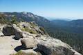 | Buena Vista Peak This 2-mile round trip hike ascends 420 feet to a granite summit with 360-degree views over the Redwood Mountain Sequoia Grove and Kings Canyon. |
 | Hart Tree and Fallen Goliath Loop This 8.3-mile loop on Hart Tree Trail and Redwood Creek Trail passes tranquil streams and interesting sequoias in the Redwood Mountain Grove in Kings Canyon National Park. |
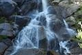 | Grizzly Falls This 0.1-mile round trip stroll at Grizzly Falls Picnic Area in Sequoia National Forest reaches the base of an 80-foot waterfall along the Generals Highway near the Cedar Grove Area of Kings Canyon National Park. |
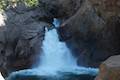 | Roaring River Falls This paved 0.3-mile round trip hike reaches a thundering little waterfall on a tributary of the Kings River in Kings Canyon National Park. |
 | Kanawyer Loop Trail This 5-mile loop is scenic and easy, exploring east from the backcountry gateway at Road's End along both sides of the South Fork Kings River in Kings Canyon. |
 | More trails in the Sierra Nevada Mountains Explore other destinations in Kings Canyon National Park and the rest of the range. |
 | Sequoia and Kings Canyon National Parks Campgrounds There are 14 campgrounds with over 1,000 total sites spread throughout the parks to facilitate your visit. |
Go the extra miles...
Submit a rating of this hike to go with your comment. Contribute to the average trail rating.