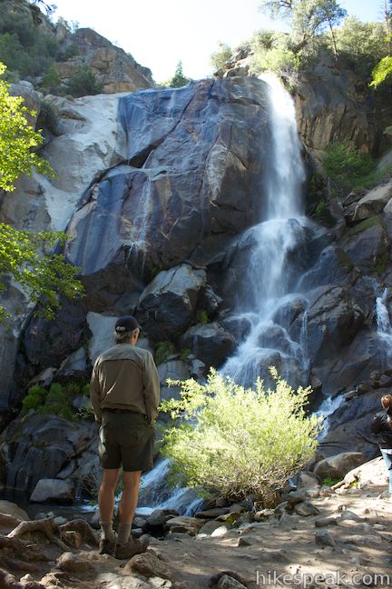
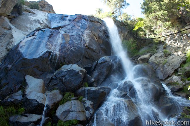
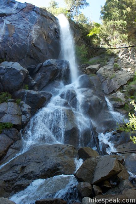
If you are driving down Generals Highway to the Cedar Grove Area of Kings Canyon National Park, you should feel compelled to check out Grizzly Falls. The obscured view of the 80-foot waterfall from the road should be incentive enough for you to stop, and you can get to the base of Grizzly Falls via a super short and easy 0.1-mile round trip stroll.
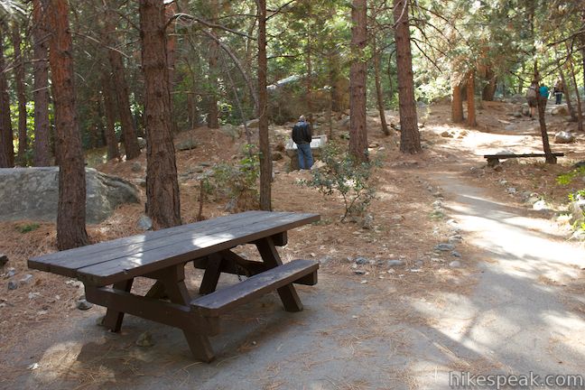
The anything-but-arduous trek begins from the Grizzly Falls Picnic Area, which is located in Sequoia National Forest on the north side of Generals Highway, about three miles from the Cedar Grove Area of Kings Canyon National Park. Generals Highway is the only road between Kings Canyon’s two main areas, Grant Grove and Cedar Grove, so the short hike will be on the way for anyone visiting those two parts of the national park.
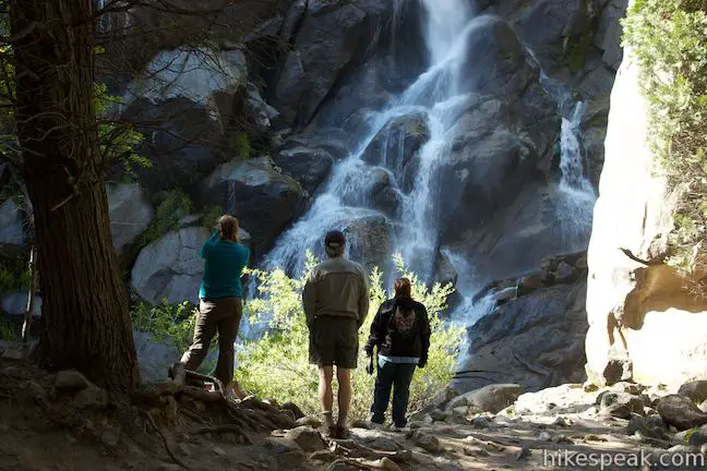
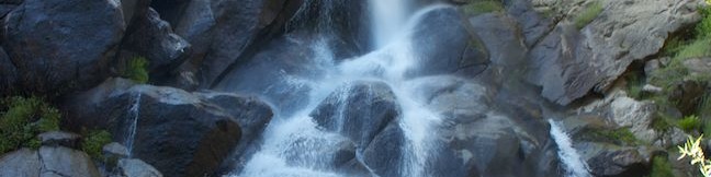
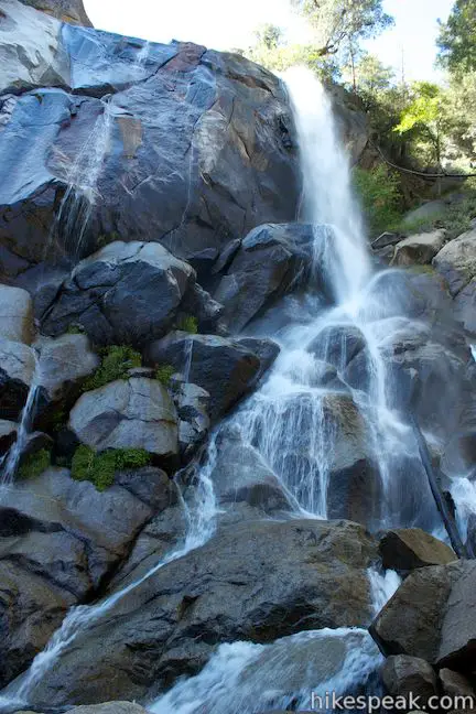
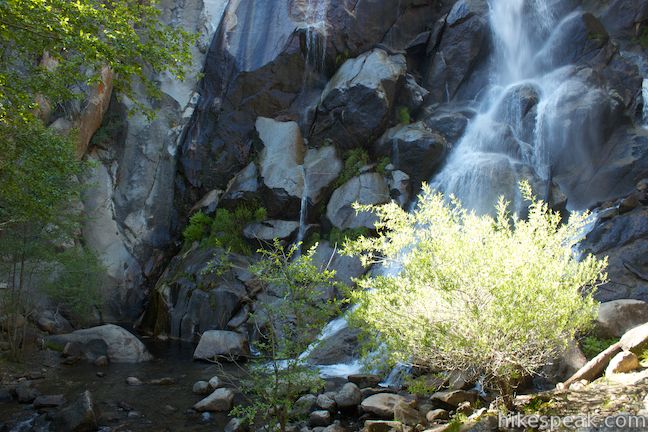
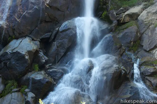
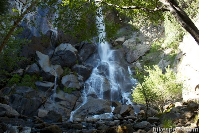
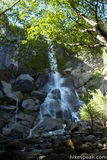
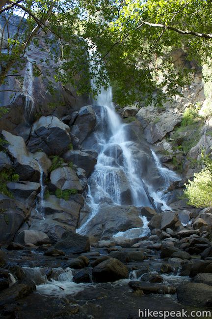
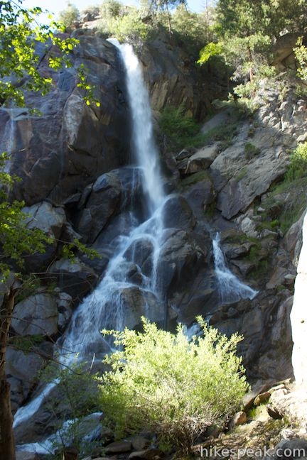
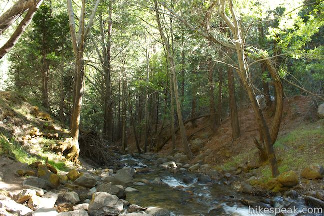
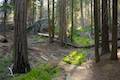
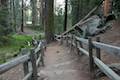
Walk north through Grizzly Falls Picnic Area on a wide dirt path to the waterfall. Visible from the road and just a couple hundred feet up the trail, the waterfall is impossible to miss. Walk up to the base and watch the waterfall plunge eighty feet down a granite wall. Step close to Grizzly Falls and you’ll be greeted by a refreshing mist.
The waterfall varies in size, dictated by the amount of snowmelt above on the south side of the Monarch Divide. After a snowy winter, Grizzly Creek Swells and the waterfall widens to a frothing wall of white water. When there is less snow, Grizzly Falls retreats to the right side of the exposed granite, forming a channel of freefalling water that fans out as it splinters over rocks toward the base of the falls. Even in this diminished state, the waterfall is quite lovely.
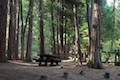
The trail ends at Grizzly Falls and does not continue into the Monarch Wilderness farther up Grizzly Creek. Simply return to your vehicle once you’ve taken in the waterfall. Of course if you packed a lunch, the picnic area is a great place to linger.
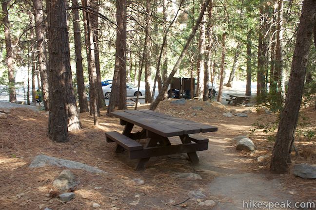
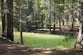
Grizzly Falls Picnic Area has a bathroom and a few picnic tables. Dogs are welcome and no permit is required to visit the waterfall or the picnic area. While the Hume Lake Ranger District of Sequoia National Forest does not charge an entrance fee, you will need to pass through Kings Canyon National Park in order to reach the national forest, and the national park does charge an entrance fee.
The road to Grizzly Falls closes in the winter and may not open until late April, so check ahead before you visit. To see another nearby (and easy-to-reach) waterfall, check out Roaring River Falls in Kings Canyon National Park
To get to the trailhead: From Fresno, drive east on Route 180. After some 50 miles, you will reach the Big Stump Entrance Station for Kings Canyon National Park. Proceed 1.7 miles to a three-way intersection. To the right, Route 198 heads south toward Sequoia National Park. Turn left to stay on Route 180. From here, it is another 26 miles to the Grizzly Falls Picnic Area, located on the left (north) side of the road. Grizzly Falls Picnic Area is 18.5 miles past Hume Lake Road, and 2.6 miles from the national park boundary for the Grant Grove Area of Kings Canyon National Park (and 9.8 miles from Road’s End, the end of Generals Highway in Kings Canyon National Park where Kanawyer Loop Trail begins).
Trailhead address: Generals Highway (California 180), Sequoia National Forest, CA 93633
Trailhead coordinates: 36.802979, -118.743561 (36° 48′ 10.72″N 118° 44′ 36.81″W)
You may also view a regional map of surrounding Sierra Nevada trails and campgrounds.
 | Roaring River Falls This paved 0.3-mile round trip hike reaches a thundering little waterfall on a tributary of the Kings River in Kings Canyon National Park. |
 | Kanawyer Loop Trail This 5-mile loop is scenic and easy, exploring east from the backcountry gateway at Road's End along both sides of the South Fork Kings River in Kings Canyon. |
 | North Boundary Trail This 3.55-mile hike starts on the trail between Grant Grove and Grant Village and passes the General Grant Tree to reach a 2.75-mile loop through the pine forest north of the Grant Grove. |
 | General Grant Tree Trail This 0-8 mile loop in the Grant Grove passes through a Fallen Monarch to reach the General Grant Tree, one of the world's largest sequoias. |
 | North Grove Trail This 2-mile loop explores a quiet grove of sequoias near the crowded Grant Grove and can combine with Dead Giant Loop Trail for 3.25-mile hike. |
 | Dead Giant Loop Trail This 2.25-mile loop passes a small meadow and a large dead sequoia to reach Sequoia Lake Overlook and can combine with nearby North Grove Trail for 3.25-mile hike. |
 | Grant Village to Grant Grove Trail This mile-long trail connects the visitor center at Grant Village with the parking lot at Grant Grove, passing through Azalea Campground to reach giant sequoias, including the General Grant Tree. |
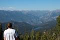 | Panoramic Point This 0.5-mile round trip hike reaches an exception overlook with views into Kings Canyon. |
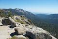 | Buena Vista Peak This 2-mile round trip hike ascends 420 feet to a granite summit with 360-degree views over the Redwood Mountain Sequoia Grove and Kings Canyon. |
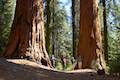 | Hart Tree and Fallen Goliath Loop This 8.3-mile loop on Hart Tree Trail and Redwood Creek Trail passes tranquil streams and interesting sequoias in the Redwood Mountain Grove in Kings Canyon National Park. |
 | Hume Lake Ranger District Campgrounds There are fourteen campgrounds in the Hume Lake Ranger District of Sequoia National Forest and Giant Forest National Monument, including the 74-site Hume Lake Campground. |
While camping with my daughter in Cedar Grove in mid-June 2016, I made three stops at Grizzly Falls. Saturday night before we left there were two big thunderstorms. When I stopped at the falls Sunday morning, the water was BROWN, carrying extra soil runoff due to the Rough Fire of 2015. Very strange sight.