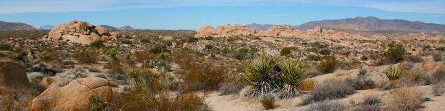
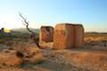
Joshua Tree National Park has a lot of interesting history, like old gold mines and Native America sites. Crown Prince Lookout highlights another period of the park’s history, when a warning station for World War II airplanes was located atop a granite formation near today’s overlook. The lookout and a second nearby viewpoint can be reached via an easy 3.25-mile round trip hike up an old jeep trail. With extra effort, you can boulder up granite formations to discover broader views along with the remains of the old observation post. There is only about 50 feet of elevation change between the high and low points of this hike, allowing you to make a brisk hike to breathtaking views.
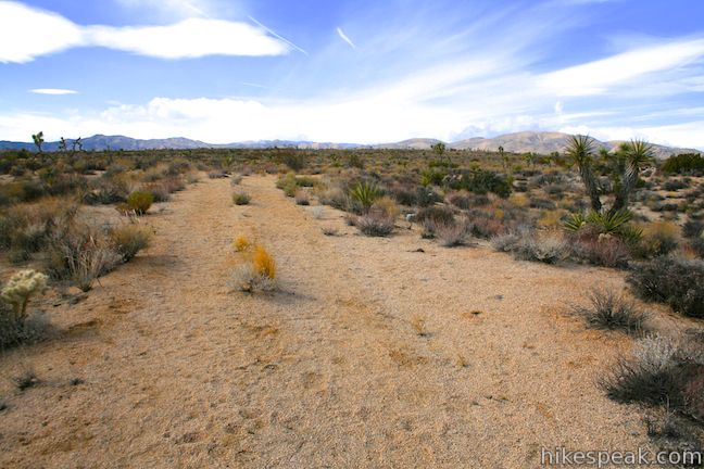
This is not a maintained park trail so finding the trailhead at the begging of the hike and the overlooks at the end of the hike requires a little effort. Start from the day use parking around at Jumbo Rock Campground and walk close to a quarter mile west along Park Boulevard to the start of the trail (where roadside parking is not permitted). The old jeep trail to Crown Prince Lookout is marked by large boulders along the road, designed to block any vehicles from driving down the old road. If you are still walking on Park Boulevard when it makes a sweeping turn to the right, you just missed it.
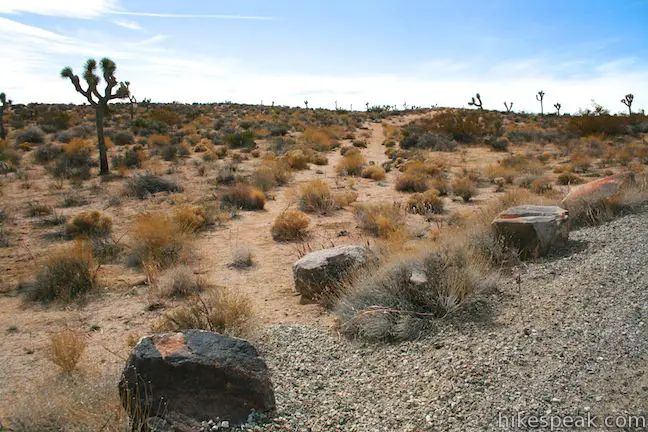
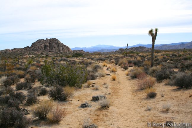
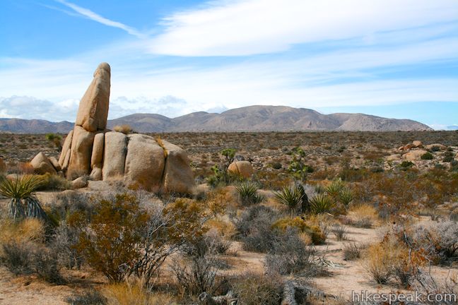
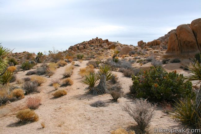
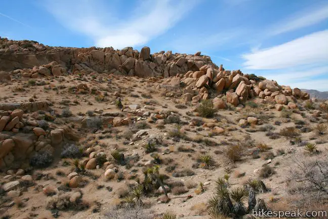
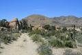
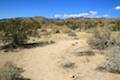
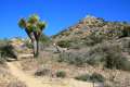
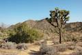
The old double-track trail heads southwest for almost a tenth of a mile and then makes a 90 degree curves to the left. From here, it is a smooth and gradual ascent across a desert plateau for another third of a mile, gaining 25 feet of elevation to a subtle high point on the old road. The road turns downhill (although you may hardly notice) for a modest descent across the desert. Joshua trees, yucca, and brush line the sandy tracks of the old jeep road.
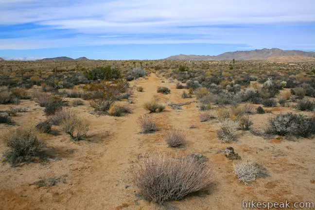
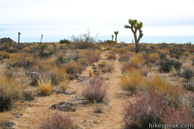
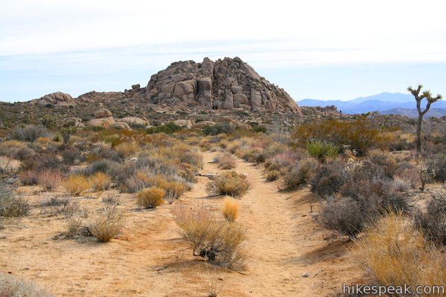
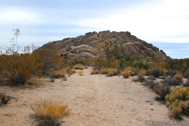
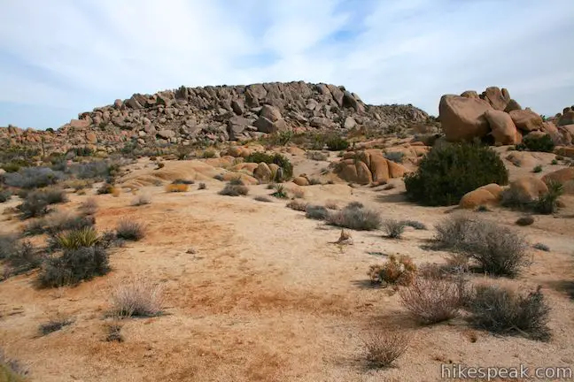
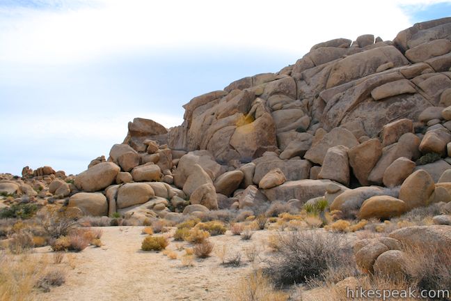
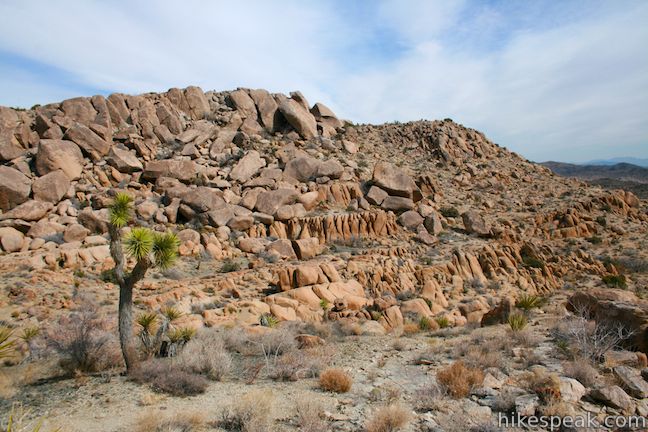
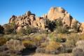
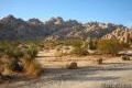
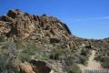
Ahead, the rock formations surrounding Crown Prince Lookout rise up from the flat desert landscape. Just under half a mile from the subtle crest in the road, and 0.88 miles from Park Boulevard, you will come to a split in the road. The right fork of the Y leads to Crown Prince Lookout, a quarter mile away. The left fork of the Y leads to a smaller viewpoint near another cluster of granite boulders, which is also roughly a quarter mile from the split.
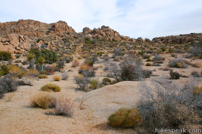
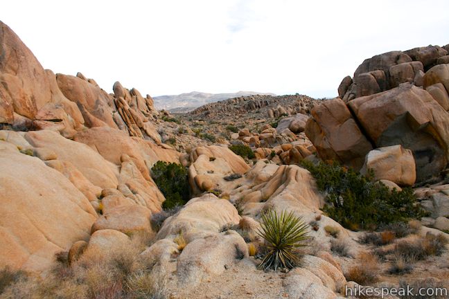
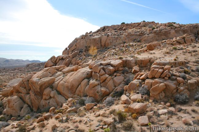
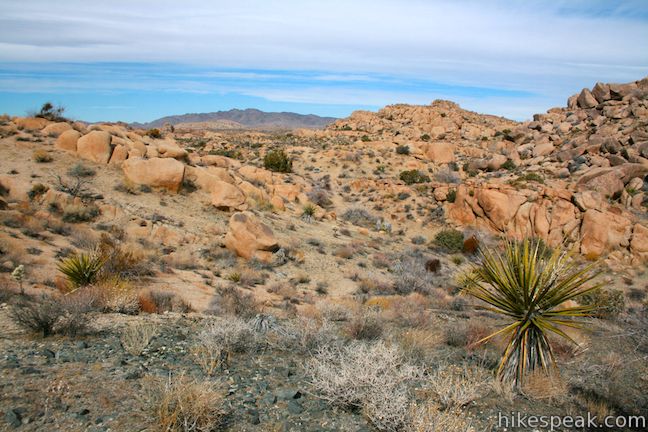
The course of the left fork remains fairly clear. Angling east, the trail makes a level run at a granite formation covered in tall boulders. At the end of the road, you’ll find a view down a narrow boulder-strewn valley. With extra effort, you can leave the old jeep road and climb up the boulders for bigger views.

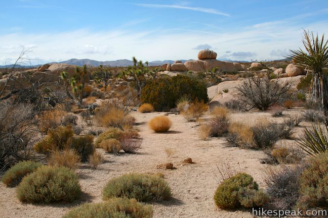
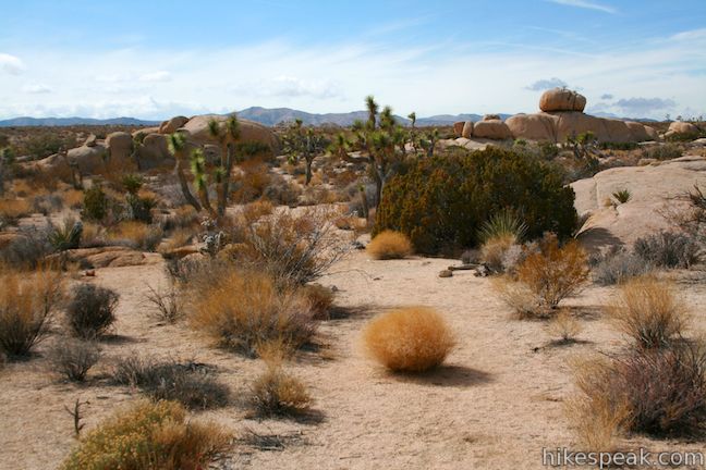
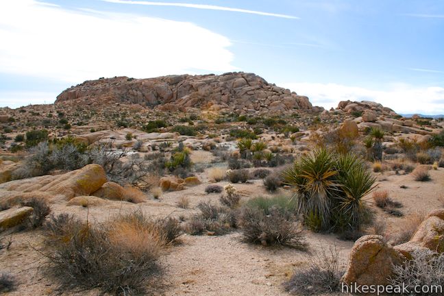
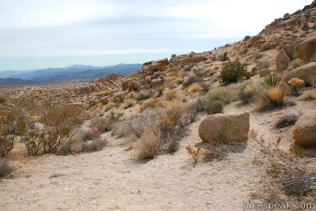
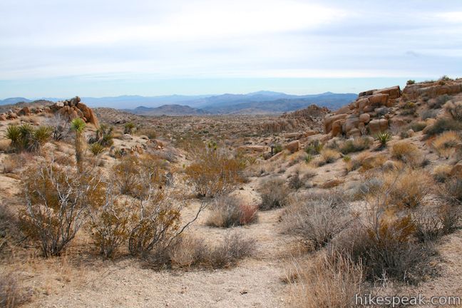
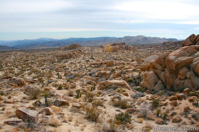
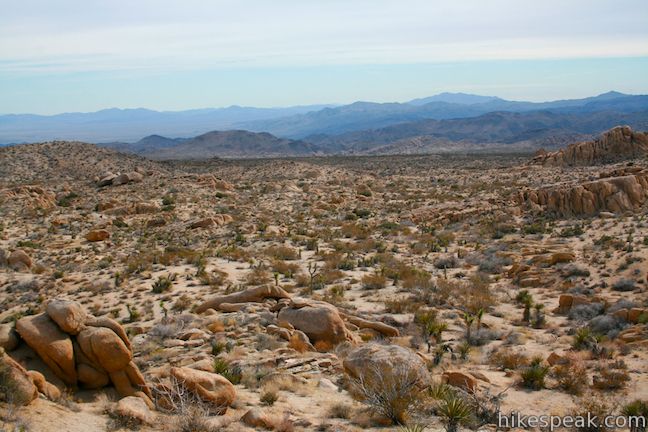
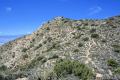
Return to the trail split, and follow the right fork toward Crown Prince Lookout. The old road circles southward aiming toward the tallest rock formation in the area (the site of the military post). When the trail fades alongside the large formation, continue walking along its north side, aiming toward a smaller outcropping just to the north. You will spot paths leading to Crown Prince Lookout, located in the saddle of the second dip to the left side of the tall formation. While the lookout is not marked, you will know when you’ve arrived because an expansive new view opens to the southwest across the Queen Valley. It is an expansive perspective of a landscape that is pure Joshua Tree.
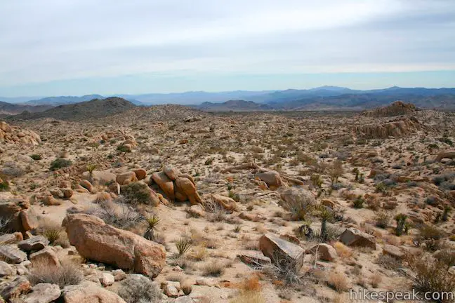
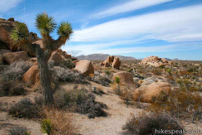
An outcropping on the north side of Crown Prince Lookout makes a good plae take a seat on a rock and gaze out across the desert expanse toward the Pinto Mountains.
After taking in the view from Crown Prince Overlook, and doing all the exploring that you like, simply return the way you came. Joshua Tree National Park has a fee for each vehicle entering the park, but no permit is required to hike to Crown Prince Lookout, so get out and enjoy!
To get to the trailhead: Take Park Boulevard to the Jumbo Rock Campground located on the south side of the road, 3.5 miles west of the intersection with Pinto Basin Road and 6.9 miles east of the intersection with Keys View Road. Park in the day use lot near the campground entrance and begin waking west down Park Boulevard toward the start of the old jeep road.
Trailhead address: Park Boulevard (Loop Road), Joshua Tree National Park, CA 92277
Trailhead coordinates: 33.991885, -116.067908 (33° 59′ 30.78″N 116° 04′ 04.46″W)
View Joshua Tree National Park in a larger map
Or view a regional map of surrounding California Desert trails and campgrounds.


 | Ryan Mountain This 3-mile hike offers summit views from the center of Joshua Tree National Park. |
 | Ryan Ranch This 0.8 or 1.2-mile round trip hike visits the ruins of an old adobe homestead beneath Ryan Mountain. |
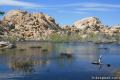 | Barker Dam This level 1.5-mile loop visits a small foreign-looking reservoir within the Wonderland of Rocks. |
 | Wonderland Wash This level 2.1-mile hike travels past the ruins of Wonderland Ranch up a use trail into the Wonderland of Rocks. |
 | Wall Street Mill This level 1.55 to 2.15-mile hike visits a well-reserved gold mill, exploring the mining history of Joshua Tree National Park. |
 | Hidden Valley This one mile loop circles the interior of a small valley surrounded by tall rocks that serves as an excellent bouldering arena. |
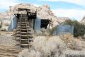
 | Lost Horse Mine This 4-mile hike visits a well-preserved mine and mill. |
 | Inspiration Peak This 1.2-mile hike leaves the crowds at Keys View for even grander views at a 5,550-foot summit that looks out on the Coachella Valley, the Salton Sea, Mount San Jacinto, and much of Joshua Tree National Park. |
 | Desert Queen Mine This 1.6-mile hike follows a level trail to an overlook before crossing a canyon to visits the ruins of one the most profitable gold mines in the California desert. |
 | Lucky Boy Vista This level 2.5-mile hike visits a modest overlook at the site of an old mine. |
 | Arch Rock This short hike leads to a natural arch in the granite formations by White Tank Campground. |
 | Contact Mine This 3.9-mile hike ascends 700 feet up a wash, a canyon, and an old road to a mountainside mine site that offers a glimpse into the mining history of Joshua Tree. |
 | Fortynine Palms Oasis The 3-mile round trip hike visits a cool desert oasis. |
 | Indian Cove The 101-site campground is home to a 0.6-mile interpretive trail and endless bouldering and rock climbing opportunities. |
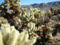 | Cholla Cactus Garden This quarter-mile loop allows visitors to stroll through an intense concentration of cholla cacti. |
 | Lost Palms Oasis This 7.2-mile hike visits a desert oasis nestled between mountains in the southeast corner of the park. |
 | Mastodon Peak This 2.6-mile loop visits a 3,400-foot summit with panoramic views of southeastern Joshua Tree. |
 | Bajada Trail This level 0.3-mile nature trail loop explores the plants living on a desert bajada. |
 | Warren Peak This 5.5-mile hike summits a peak with impressive views over the west side of Joshua Tree. |
 | High View Nature Trail This 1 1/3-mile loop climbs a ridge on the west side of the park that offers views of San Gorgonio Mountain and Yucca Valley, along with an introduction to desert plants. |
 | Hikes in the California Desert Explore more trails in Death Valley National Park, Joshua Tree National Park, Anza-Borrego Desert State Park, and Mojave National Preserve. |
 | Joshua Tree Campgrounds Nine campgrounds with 500 total sites are spread throughout the park to facilitate your visit. |
 | Joshua Tree Wildflowers The desert in bloom is something any outdoor enthusiast in California should see. |
[…] around, but I was kind of disappointed that we never found the trail. I looked for others’ trip reports when I had signal on the way home and the only ones I found that could find the trail […]