Ravine Trail, Vernal Pool Trail, and Oak Trail
in Binghamton University Nature Preserve
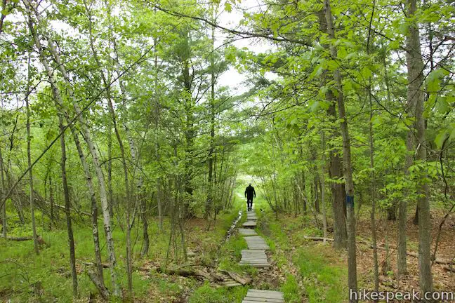
The smart people who shaped Binghamton University knew that deep-rooted oaks can teach us more than ivory towers. With the good foresight, the SUNY Binghamton campus set aside 182 acres of wetlands and woodlands for the benefit of students, faculty, and the community. On a first visit to Binghamton University Nature Preserve, Pond Trail and Marsh Trail are recommended routes for appreciating the heart of the preserve. If you want to further your studies, get off the beaten path and explore other trails in the preserve. Ravine Trail, Vernal Pool Trail, and Oak Trail can be accessed off Pond Trail to form a 1.15-mile loop. Ravine Trail and Vernal Pool Trail are relatively flat, but Oak Trail ventures up and down a hillside for a bit of exercise, contributing 175 of the loop’s 200 feet of elevation change.
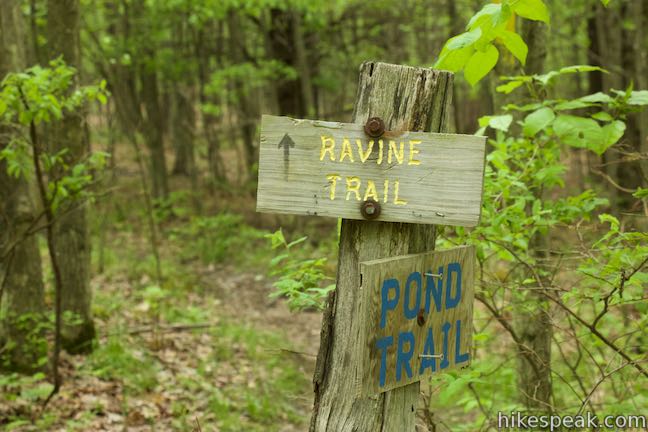
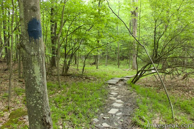
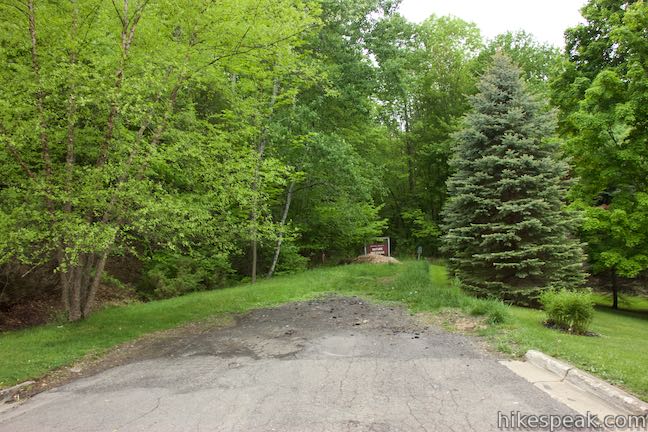
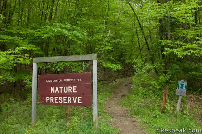
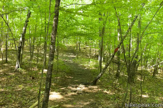
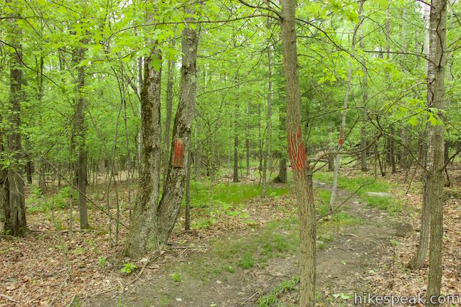
The easiest way to reach these trails is from the just-off-campus trailhead on Lehigh Avenue. Yyou could also hike in to the loop from the Binghamton University Campus, and directions from Lot M are given below. From the end of Lehigh Avenue, hike west to the start of Pond Trail, passing a sign for the nature preserve. Skip Pipeline Trail, which is on the right at the start, and walk a tenth of a mile to the next junction. Turn right on Ravine Trail, which is marked by yellow signs and yellow markings painted on trees that frame the trail. All the trails in Binghamton University Nature Preserve are color coded red, yellow, or blue, with no two trails of the same color intersecting (except for Pond Trail and Pipeline Trail, but you’ve already passed that).
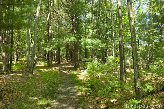
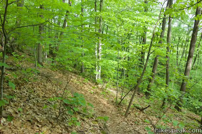
Ravine Trail doesn’t actually go along a ravine, at least not until the very end. Instead, it passes through the forest near the edge of the preserve. It runs roughly parallel to Pipeline Trail, which it meets after 0.2 miles, but is more pleasant than that other trail.
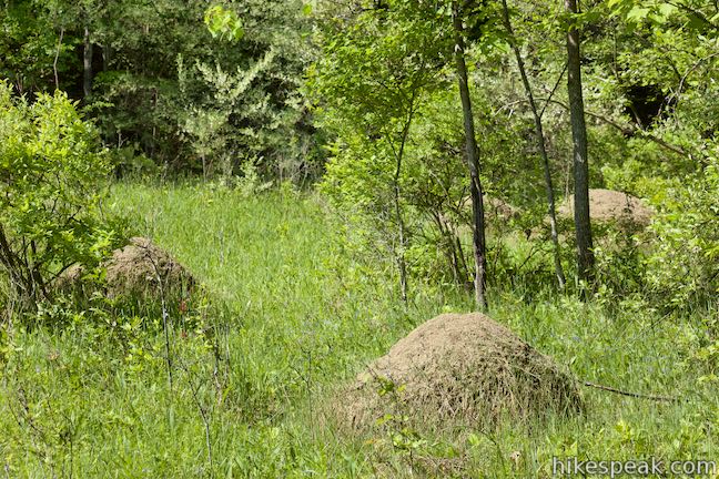
After 0.15 miles (so 0.05 miles before the junction at the end with Pipeline Trail), Ravine Trail meets Vernal Pool Trail. Turn left here. If you were to turn right, you could continue a short distance to a T-junction with Pipeline Trail. There isn’t much to see at this junction other than some tall anthills on the right side of the trail.
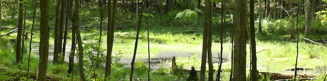
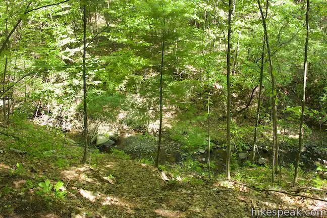
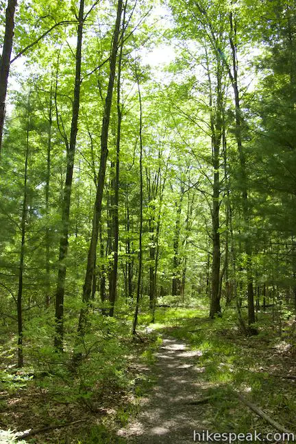
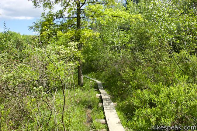
Take Vernal Pool Trail west from the junction, passing through more mixed forest. To the right, the terrain drops to a stream that flows from the wetlands ahead. About halfway through this quarter mile long trail, pass a vernal pool in the forest on the left. When a depression is filled by rainwater runoff (as opposed to a spring), you get a vernal pool. Vernal pools are often lined by bedrock that help to hold the water after it rains. Vernal pools can dry up and have a seasonal cycle, mostly appearing in the vernal (spring) season.

At a quarter mile from Ravine Trail, and half a mile from the start, Vernal Pool Trail comes to a T-junction with Pond Trail. Turn right to head down a gradual slope on this trail.
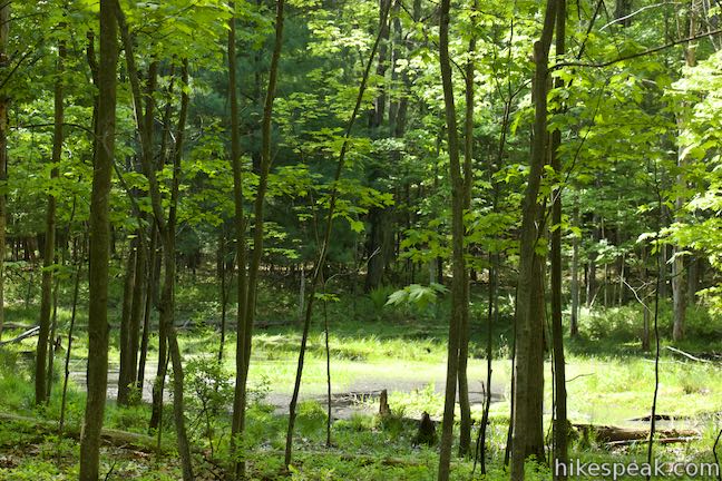
In 250 feet, Pond Trail meets Oak Trail. Take a left turn to continue with this short loop. If, however, this is your first visit to Binghamton University Nature Preserve, take a slight detour and walk a tenth of a mile farther up Pond Trail onto a raised boardwalk that crosses the wetlands at the center of the park, getting great views over ponds and marshes.
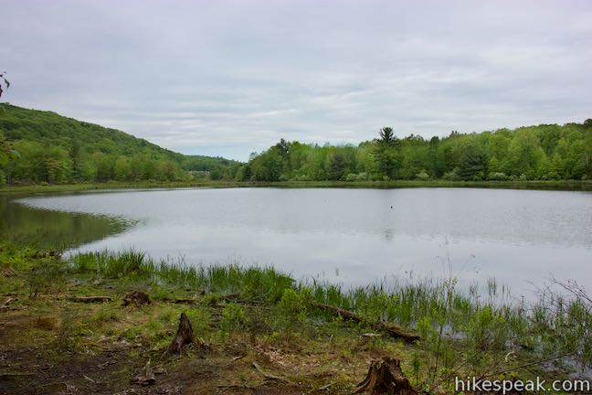
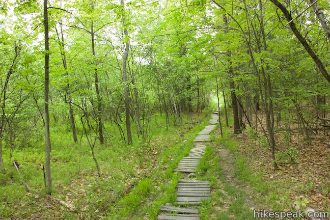
After turning onto Oak Trail, cross a walkway of wooden planks as the trail leaves the wetlands for more solid ground. In a tenth of a mile, you’ll hit a junction with Connector Trail. Before that, look for a path on the left out to the edge of Harpur Pond where you can enjoy a private view over the pond and surrounding marshes and forests.
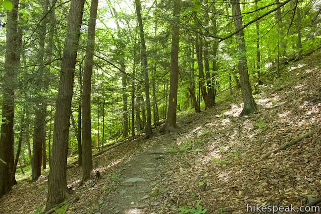
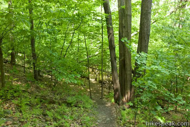
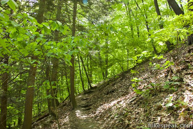
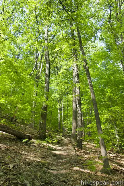
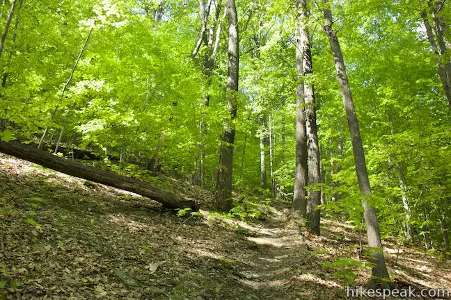
Stay to the left past Connector Trail and begin up a hillside on Oak Trail, which gains elevation as it passes below a full canopy of oaks. It is 0.35 miles from Connector Trail over to a junction with Pond Trail and the east end of Oak Trail. Midway through that distance, stay to the left through a junction with Ridge Trail as you pass over the high point of the trail.
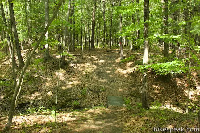
The trail heads back downhill and reunites with Pond Trail. Turn right and hike 0.15 miles back to the start. Short sections of wooden boardwalks cover wet spots on this dirt trail. Cross Ravine Trail, where the loop began, and retrace your steps over the last piece of Pond Trail to Lehigh Avenue.
The basic directions for this loop are:
- Begin up Pond Trail from Lehigh Avenue (0 miles)
- Turn right on Ravine Trail (0.1 miles)
- Turn left on Vernal Pool Trail (0.25 miles)
- Turn right on Pond Trail (0.5 miles)
- Turn left on Oak Trail (0.55 miles)
- Stay left past Connector Trail (0.65 miles)
- Stay left past Ridge Trail (0.825 miles)
- Turn right on Pond Trail (1 mile)
- Pass Ravine Trail (1.05 miles)
- Return to Lehigh Avenue (1.15 miles)
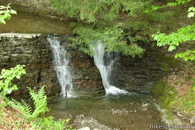
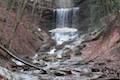
Believe it or not, there is actually another park to visit from the end of Lehigh Avenue. Opposite Binghamton University Nature Preserve, you can cross a footbridge into Stair Park, a Town of Vestal Park. Just over the bridge, stay to the right along Fuller Hollow Creek across from a picnic area and playground. You’ll soon spot a short waterfall in the stream. This excursion into Stair Park is quite brief and will only add about 0.15 miles to your outing.
Hikers who prefer to begin on campus at Lot M can head down Marsh Trail for 0.3 miles, turn right on Pond Trail, and get to the junction with Oak Trail after half a mile (at the 0.55-mile point described above). Going around the loop from there and heading back to Lot M creates a lollipop loop hike of 1.95 miles. Several other trails make their way through Binghamton University Nature Preserve. You can extend this hike with loops focused around Pond Trail and Marsh Trail or set out on Forest Loop Trail, which is similar to Oak Trail and ascends a wooded hillside for a bit of exercise. Bikes are not allowed in the preserve, but dogs are welcome on leashes. Free street parking is available on Lehigh Avenue. Starting on campus, students can walk to the preserve from their dorms and visitors can park with a permit. The pass to park in Lot M is $5 per day. After 5 p.m., the cost of a permit goes down to $1. During the summer, permits during the day are $1 and nothing is charged on weekends from 4 p.m. on Friday until Monday morning (all prices as of 2015).
To get to the trailhead: From Route 17, take exit 70 for Route 201 and Johnson City. Drive south on Route 201 for 1.5 miles, taking the flyover to a bridge over Susquehanna River toward Vestal. Drive to the end of Route 201 and go around a loop in the offramp to head east on Route 434. Drive 0.5 miles to tthe second traffic light and turn right up Murray Hill Road. In 0.9 miles, turn right nnto Washington Drive and make the next left on Lehigh Avenue. Drive 0.3 miles and park near the paved ‘T’ at the end of the road. The entrance to Binghamton University Nature Preserve is up the short strip of pavement to the right and Stair Park is to the left.
Trailhead address: 1000 Lehigh Avenue, Vestal, NY 13850
Trailhead coordinates: 42.0781, -75.9592 (42° 04′ 41.15″N 075° 57′ 33.11″W)
To get to Lot M: From Route 17, take exit 70 for Route 201 and Johnson City. Drive south on Route 201 for 1.5 miles, taking the flyover to a bridge over Susquehanna River toward Vestal. Drive to the end of Route 201 and go around a loop in the offramp to head east on Route 434. Make the first right at the trafic light and enter Binghamton University on Bartle Drive. Pass a visitor check-in station and stay to the right through a traffic circle onto West Drive. In 0.4 miles, turn right up Connector Road (toward Susquehanna Community). Drive 0.3 miles and turn right on West Access Road. Park in a row of spots that come immediately on the right. If these parking spaces are full, turn right and drop into a larger section of Lot M.
Lot M address: West Access Road, Binghamton University, Vestal, NY 13850
Lot M coordinates: 42.0848, -75.9728 (42° 05′ 05.28″N 075° 58′ 22.08″W)
You may also view a regional map of surrounding New York trails and campgrounds.


Stair Park


 | Pond Trail and Marsh Trail Loop This 2.6-mile hike in Binghamton University Nature Preserve combines major trails with other easy hiking track to make a double loop that explores ponds, wetlands, and forests at the center of the preserve. |
 | Forest Loop Trail This 1.15-mile hike in Binghamton University Nature Preserve goes up a wooded hillside, slipping between oaks and pines. |
 | Green Lake & Round Lake This easy 3.25-mile loop explores a pair of aquamarine glacial lakes in Green Lakes State Park in Central New York. |
 | Cliff Trail – Long Trail – Mildred Faust Trail Loop This 1.95 miles loop crosses limestone cliffs above a glacial lake and combines several trails to explore Clark Reservation State Park. |
 | Tinker Falls This gradual 0.5-mile hike follows Tinker Falls Creek to the base of a lovely 50-foot waterfall. A trail to the top of Tinker Falls can be added to create a 1.3-mile trek in Labrador Hollow Unique Area. |
 | High Line Trail This elevated stroll of up to 3 miles round trip explores a one-of-a-kind park built on a historic rail line with gardens, artwork, seating, and great views of New York City. |
 | More trails in New York Explore other hikes in the Empire State, including Central New York and the Adirondack Mountains. |
Go the extra miles...
Submit a rating of this hike to go with your comment. Contribute to the average trail rating.