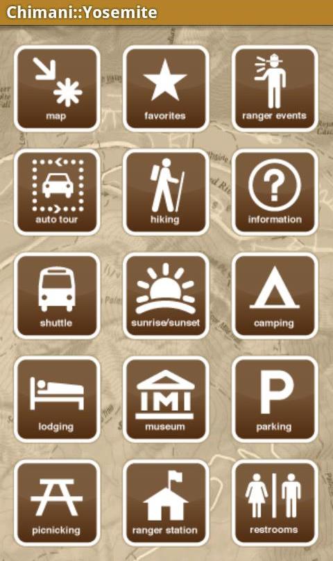
As dependent as we have become on smartphones, California still has some corners, like Yosemite Valley, where data coverage does not reach. This is a probably a good thing, but it is still handy to have fast information at your fingertips while visiting Yosemite National Park. At its core, Chimani’s Yosemite National Park app is a park guide enhanced with a GPS locator. The app is packed with most of the information found on the official National Park website, plus additional content, displayed in easy to navigate menus. Since the data is stored on your phone, you do not need an internet connection for the app the function.
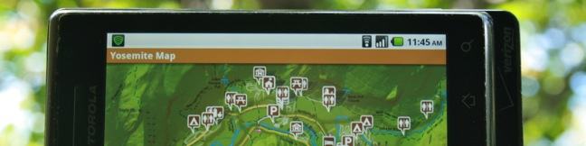
Chimani’s Yosemite National Park app sorts content into several categories including hiking, scenic views, waterfalls, camping, and lodging. The location for each entry can be viewed on a detailed map of the park.
The map can show numerous different data-sets. You can view everything on one map all at once, view one category at a time (just scenic views), or view just one entry (just Tunnel View). This is useful when you want to quickly see where something is without searching through the clutter of all the points of interest in the park.
In addition to the pre-made maps, you can build your own by adding things to a “favorites” list. This feature has a variety of uses. Browse through the app before you trip, reading up on the attractions. When something seems interesting, add it to favorites, using it like a to-do list.
The app will generate a custom list and map of everything you want to see. Once you get to Yosemite, the favorites map can be used to efficiently move between nearby locations of interest and avoid extra travel. Remove items from the list as you travel and keep track of what is left to do, so you don’t miss out on anything.
On a field test of the android version of Chimani’s Yosemite National Park app during a four-day visit to the park, the app proved to be a helpful but inessential tool. In some instances, the app is much handier than the ink and paper park guide. While hiking in Yosemite Valley, a restroom was needed, but none was in sight. Where might the closest one be? Quickly load the selective map showing just bathrooms, and you can see exactly where the nearest bathroom is and how to get there, saving time and aggravation. This same procedure works for efficiently finding trailheads and other points of interest.
The app could benefit from a few improvements, like fuller trail descriptions and greater zoom depth on the map. The map is fairly detailed, but if you zoom in too close, the map backdrop disappears leaving the icons floating on a white background. This occurs when you zoom in on an area of the most detailed map that has not downloaded. To avoid this issue, examine the areas you plan to visit before leaving data coverage. Still, it would be better if the map stayed on the screen, even if it became pixelated. Despite these shortcomings, the app is a worthy companion for gadget-toting visitors. Traditionalists like John Muir probably wouldn’t used the app, that is unless Chimani can figure out a way for users to stay connected on Words With Friends inside the park. Then everything would be perfect.
[…] a cenar en mitad de una ruta. O pueden ir sin prepararse nada y que les organice el viaje su smartphone. Mirror Lake está situado en el extremo este del valle. El acantilado El Capitán se encuentra en […]
For iOS also try National Park Pocket Maps https://itunes.apple.com/us/app/national-parks-pocket-maps/id1268778292?mt=8