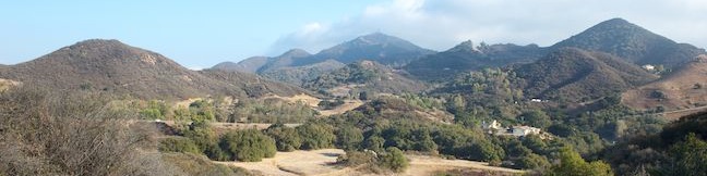
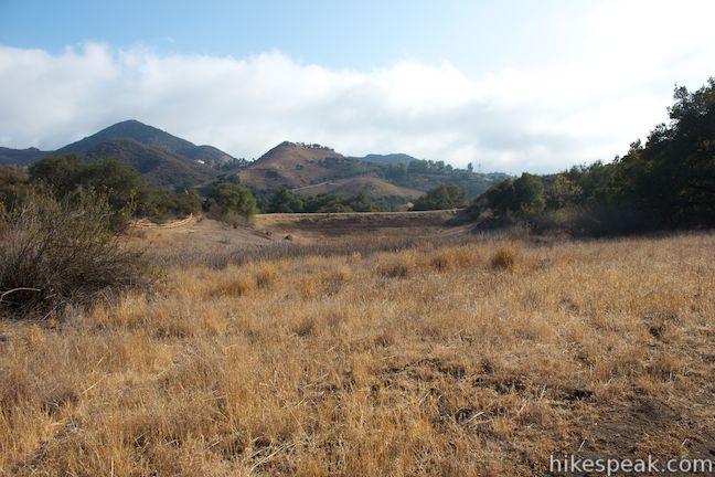
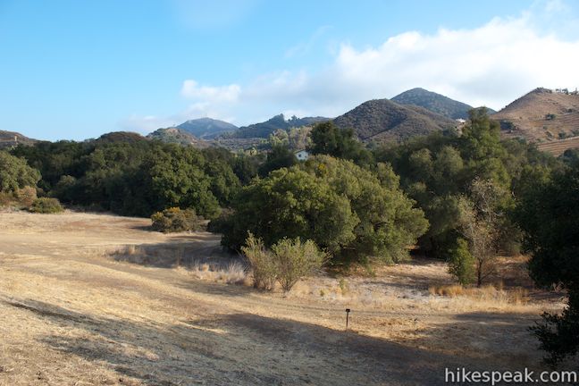
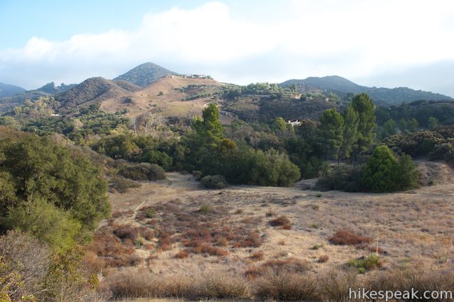
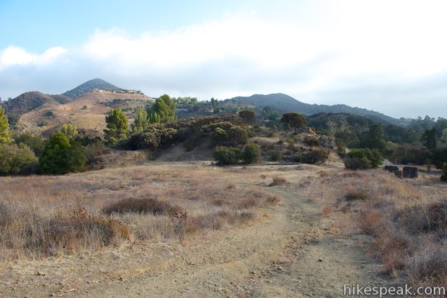
Good things do come in small packages, like Rocky Oaks, one of the tinier parcels in the Santa Monica Mountains National Recreation Area. The park covers less than 200 acres, but a collection of interwoven trails allow visitors to hike about 2 miles in this park. For a short and level half-mile loop, stroll around a seasonal pond that was used as a cattle pond when Rocky Oaks was a ranch. Hike above the pond to a scenic overlook for panoramic views over Rocky Oaks Park and the surrounding mountains on a gradual loop that demands just 175 feet of elevation gain. To capitalize on your visit, you can hit both attractions by combining park trails for two miles of relaxing hiking.
Woolsey Fire Update: This park is closed following the November 2018 Woolsey Fire. Check the NPS Rocky Oaks Park webpage for current visitor information.
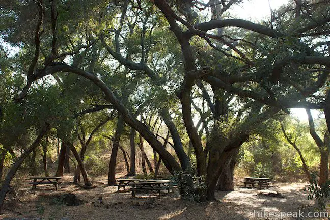
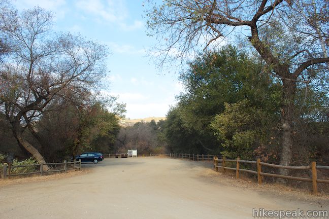
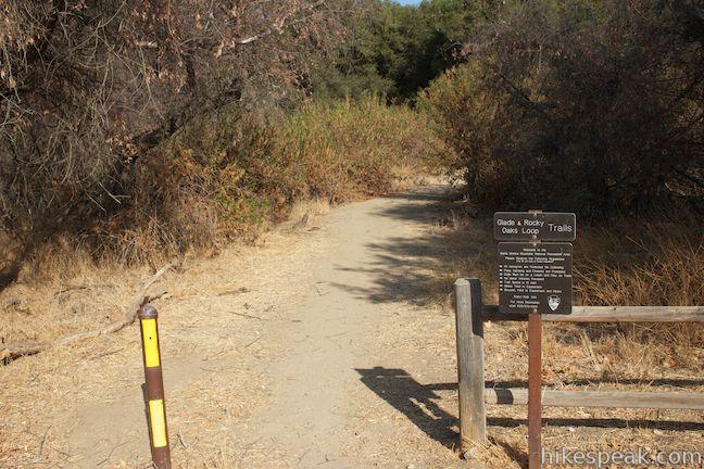
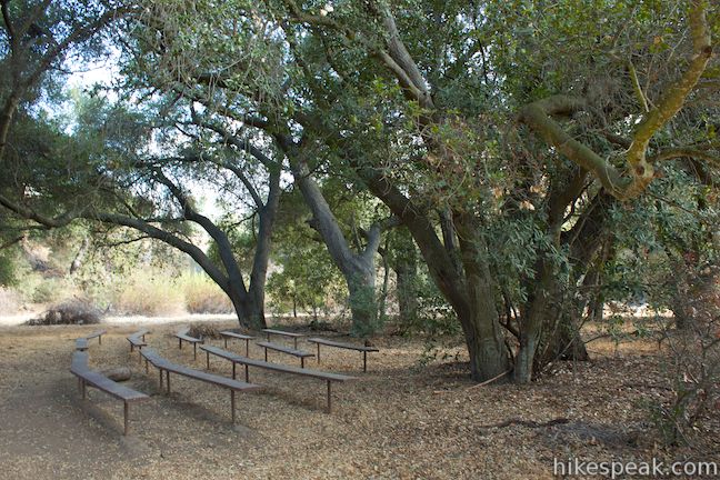
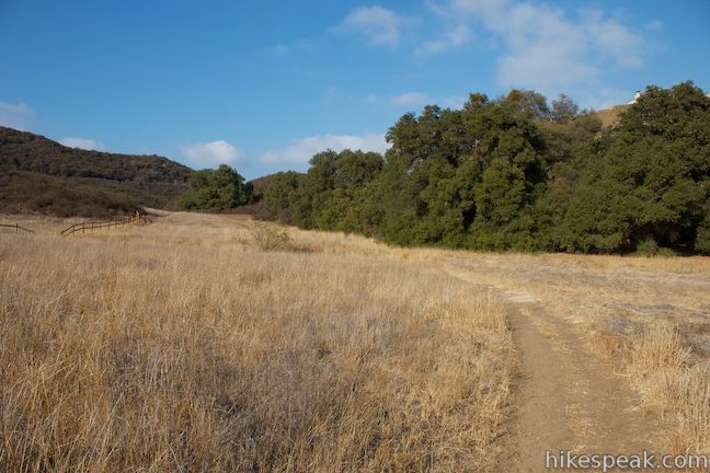
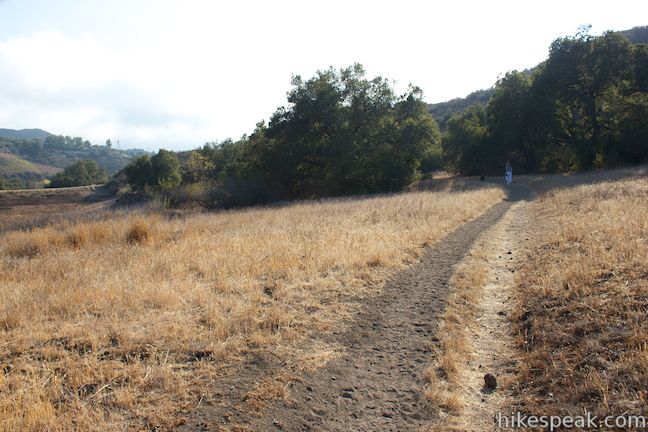
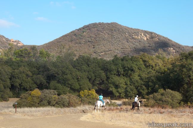
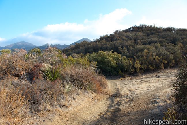
Start from the end of a trailhead parking area near the intersection of Kanan Road and Mulholland Highway in the heart of Malibu’s beautiful mountains. You’ll find a display with a park map on the left at the start of the trail and a marker on the right side that reads, Glade and Rocky Oaks Loop Trails. Venture north up the trail into a grove of tall oaks, passing benches configured in the shape of an amphitheater to reach a junction with Glade Trail, which departs to the right, exploring the oak forest and grassland on the east side of the park closest to Kanan Road. To hike Glade Trail to its end, where it unites with Rocky Oaks Loop Trail near the north end of the Pond Trail Loop, stay to the right through four junctions along the short single-track trail. Alternatively, to hike Rocky Oaks Loop Trail or Pond Trail first, stay to the left and proceed to another junction.
Rocky Oaks Loop Trail starts at the second junction. One side of the loop trail breaks off to the left, venturing west and eventually ascending to a junction with Overlook Trail. It is steeper to hike the loop trail in a clockwise direction (by turning left) so for now, continue straight through the junction toward the pond on a northbound section of Rocky Oaks Loop Trail.
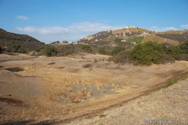
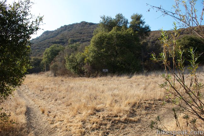
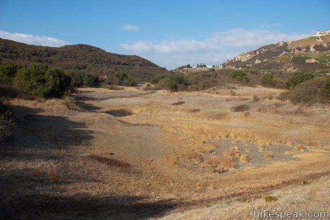
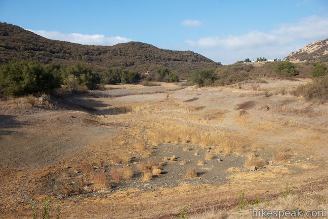
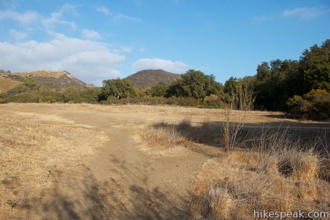
After another few hundred feet, and about a tenth of a mile from the start, you will reach a third junction. This four-way hub presents more options. To the right, a connector trail goes to Glade Trail. Straight ahead, Rocky Oaks Loop Trail continues north for a tenth of a mile where it meets the north end of Glade Trail at a junction 0.05 miles before a junction between Rocky Oaks Loop Trail and Pond Trail at the north end of the pond. By turning left at the four-way junction, you will quickly meet Pond Trail, as it crosses an earth-fill dam built by ranchers to create the pond. Pond Trail is a loop and wraps up both the east and west sides of the pond. The pond is seasonal and can dry out in the fall. When it does hold water, fishing and swimming are prohibited. If you turn left at the four-way junction toward the pond, simply make the first right to hike up the east side of the pond or make the second right to hike up the west side of the pond.
If all these trails and turns sound confusing, it may clear things up to look at the GPS map below or check out the official park trail map. The trails in the area around the pond are all very short, so it is easy to hike several of them in small circles. As an example, it is a quarter mile from the four-way junction below the pond to the main junction above the pond via the trail along the west side of the pond, and other routes are even shorter. Explore these trails as you like and make your way to the junction between Rocky Oaks Loop Trail and Pond Trail at the north end of the pond to continue hiking up to the overlook.
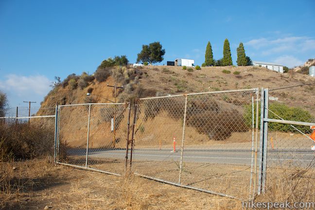
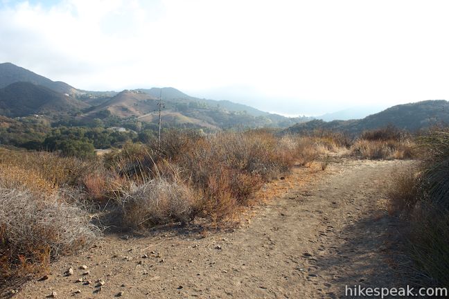
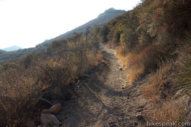
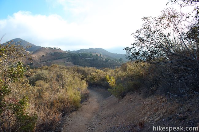
From the marked junction between Rocky Oaks Loop Trail and Pond Trail, head north following the sign for Rocky Oaks Loop Trail. Hike 0.2 miles up to a fence along Kanan Road and make a sharp left turn to proceed up Rocky Oaks Loop Trail.
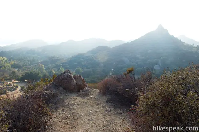
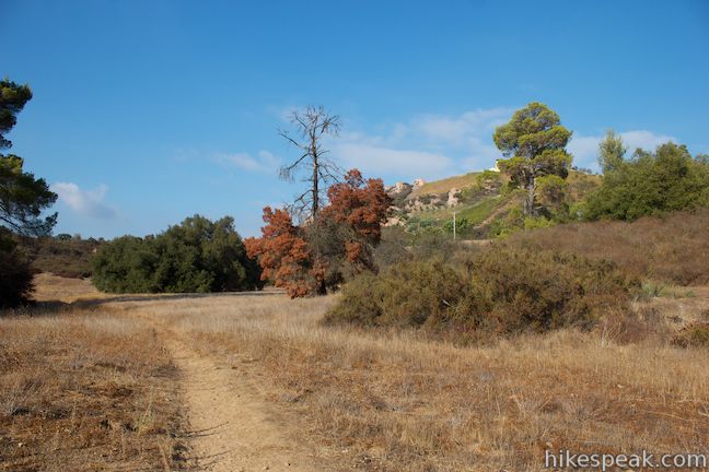
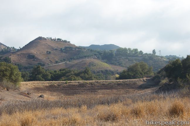
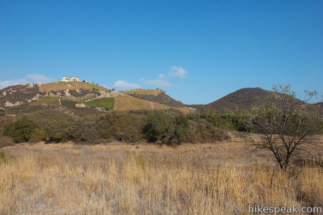
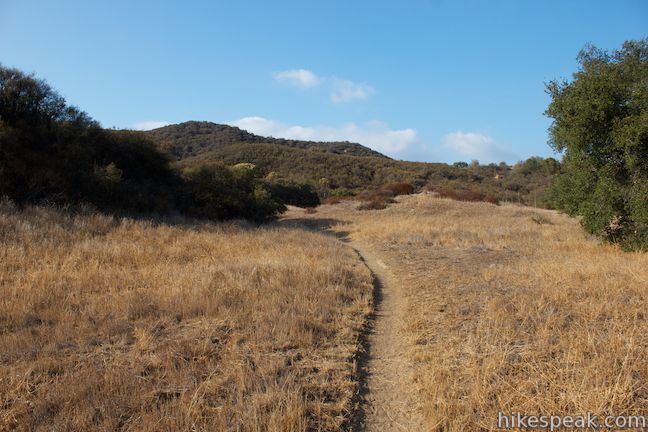
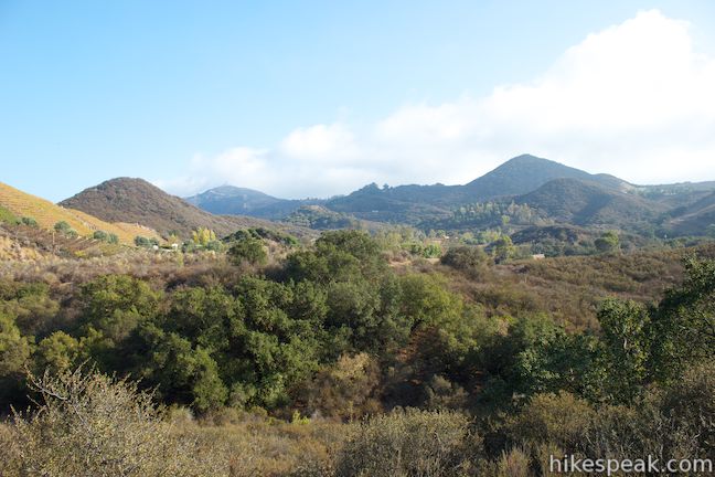
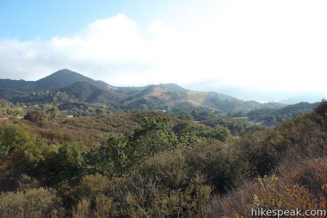
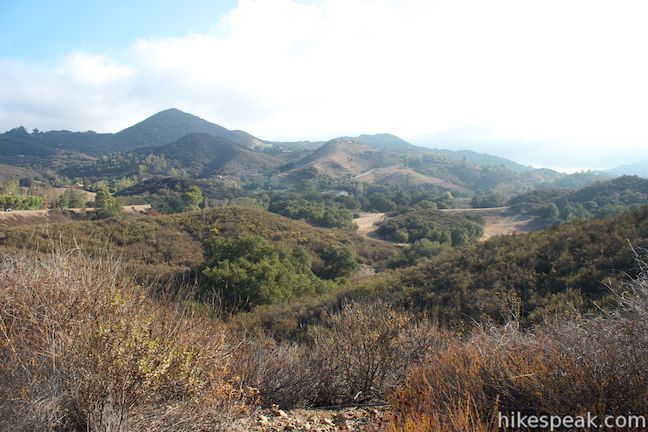
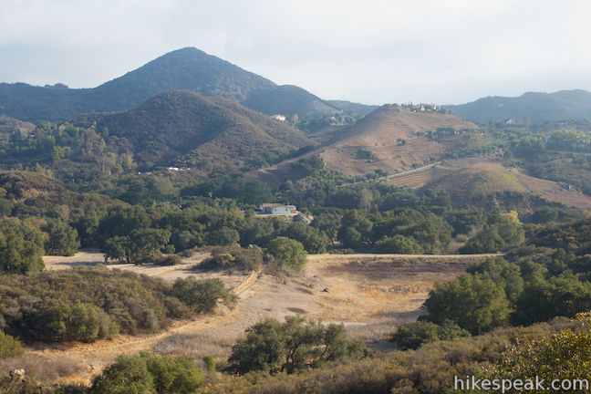
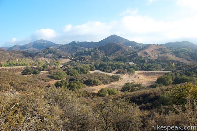
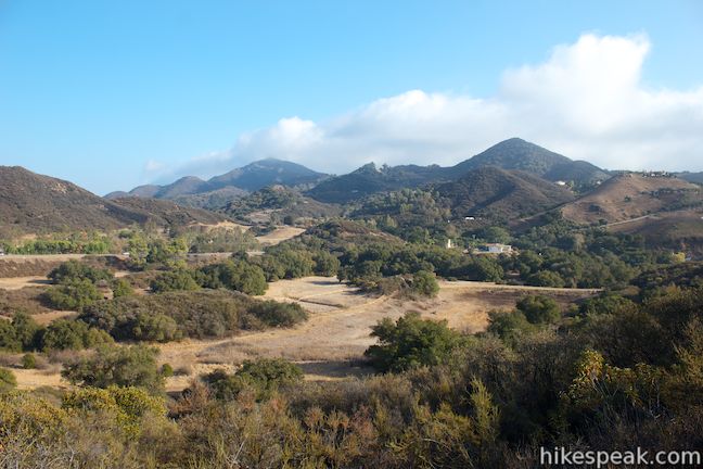
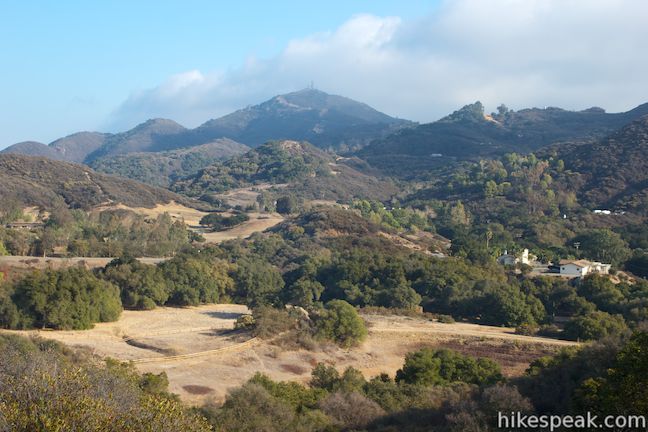
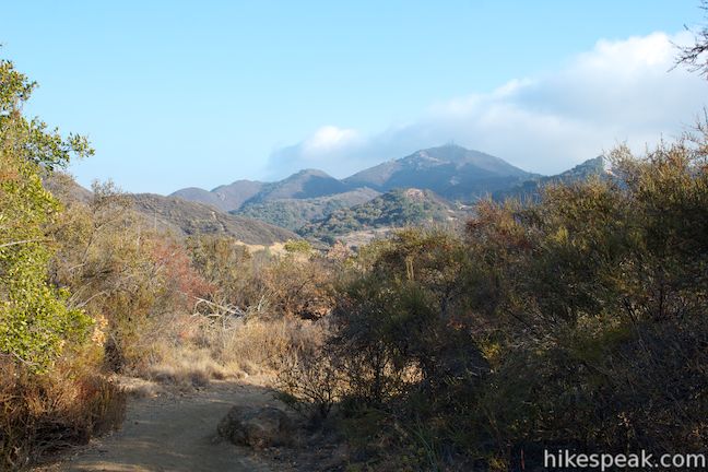
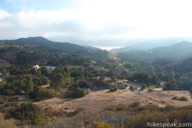
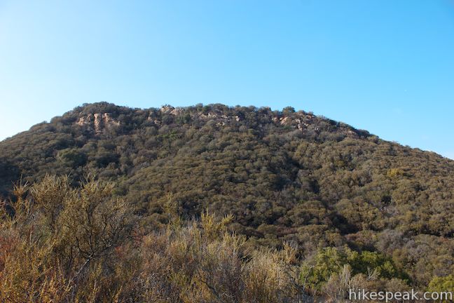
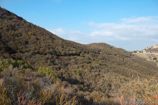
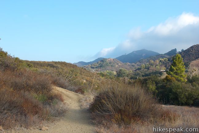
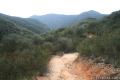
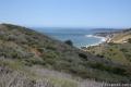
The trail gradually ascends the side of a ridge draped in chaparral. Views over the brush preview the panorama that comes at the scenic overlook. In addition to looking down on the pond, the views extend east and south beyond Rocky Oaks Park over a picturesque section of the Santa Monica Mountains.
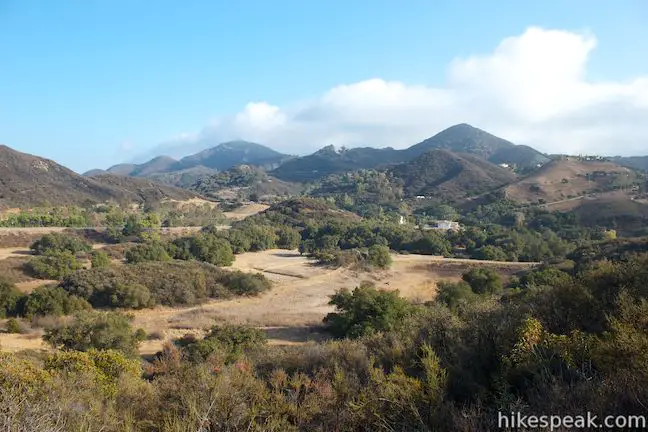
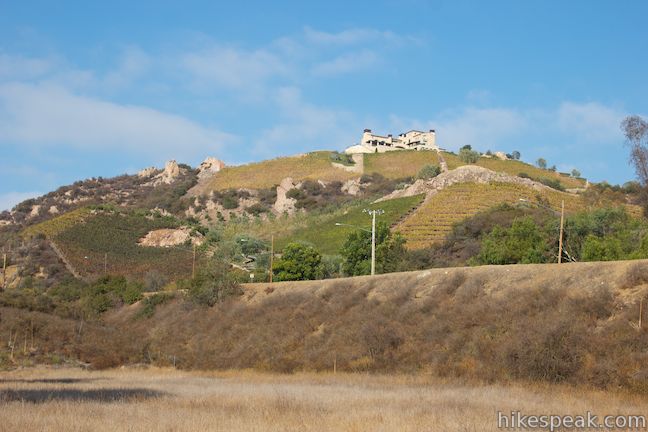
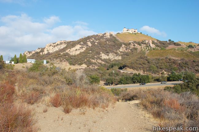
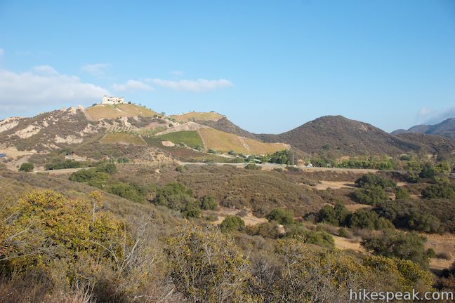
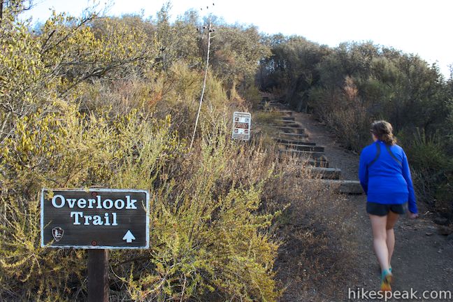
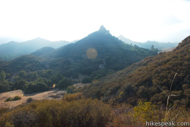
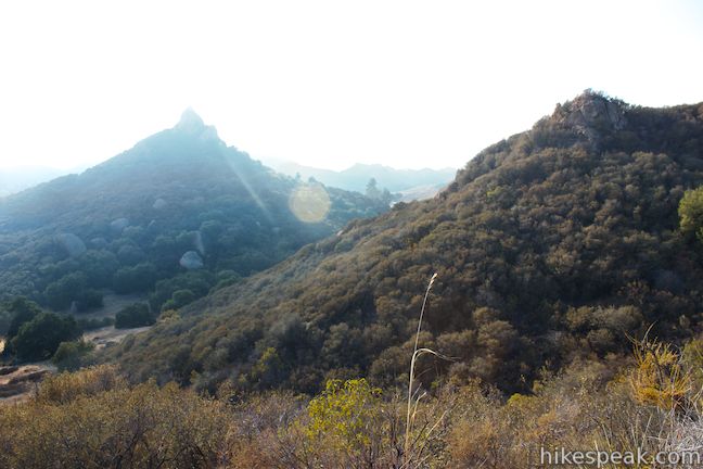
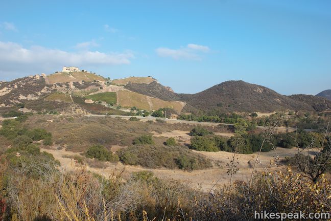
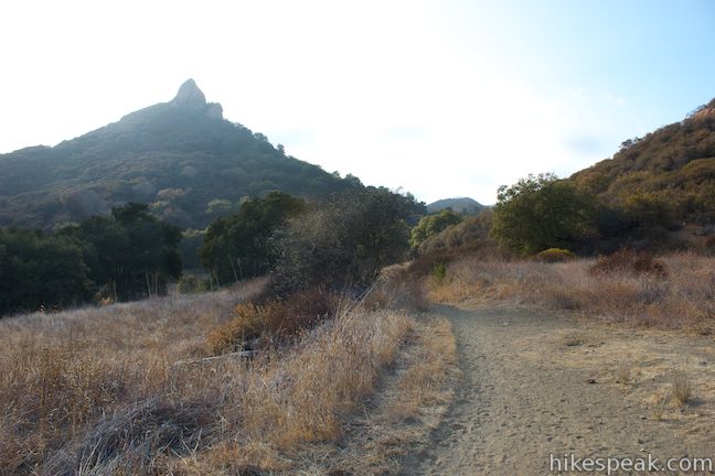
At 0.35 miles from the fence by Kanan Road, come to a junction on the right with Overlook Trail, a short spur to a scenic vista. Overlook Trail is less than a tenth of a mile round trip, and definitely worth the extra effort. Hike up Overlook Trail, following wooden steps up a bump on the ridge for the grandest views yet. The path forks at the top. The views to the left looking east over the park are similar to, but broader than, the views on display on the hike up Rocky Oaks Loop Trail. The right fork presents new views to the southwest where sandstone spires rise above rows of green mountains.
After absorbing the views, hike back down Overlook Trail and turn right. Continue along Rocky Oaks Loop Trail, which descends back toward the rest of the park.
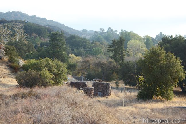
At the bottom of the ridge, cross through a four-way junction and follow Rocky Oaks Loop Trail as it curves to the left, heading east to return to the junction near the parking area, where you will turn right to return to your vehicle. Along this last stretch of Rocky Oaks Loop Trail, you’ll spot the ruins of an old ranch building on the right before seeing the parking lot through the trees.
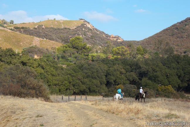
While all the different trails and junctions may be confusing to read, it is fairly easy to get around the park to the two main attractions, the pond and the scenic overlook. You can hit both highlights and wander along quiet trails during an enjoyable visit to the park that will only take an hour. Dogs, horses, and bikes are welcome in Rocky Oaks Park (although bikes and horses aren’t allowed on the short Overlook Trail because it has steps). No fee or permit is required to visit Rocky Oaks in Santa Monica Mountains National Recreation Area, so get out and enjoy!
To get to the trailhead: Take the 101 Freeway to exit 36 for Kanan Road. Drive 6 miles south on Kanan Road to an intersection with Mulholland Highway and turn right, heading west. (Coming from PCH, turn inland on Kanan Dune Road and drive 6.2 miles to the intersection with Mulholland Highway.) Drive less than a tenth of a mile from Kanan Road and turn right onto a dirt road into the park on the north side of Mulholland Highway. There is a large sign for Rocky Oaks along Mulholland Highway. Pass the bathrooms and angle right into a long parking area. The hike begins from the end of the lot.
Trailhead address: 31500 Mulholland Highway, Malibu, CA 90265
Trailhead coordinates: 34.09732, -118.813637 (34° 05′ 50.35″N 118° 48′ 49.09″W)
You may also view a regional map of surrounding Los Angeles trails and campgrounds.
 | Castro Crest from Latigo Canyon Road This 3.8-mile hike crosses a green canyon and climbs to a scenic saddle below Castro Peak. |
 | Zuma Canyon Trail This 2.8-mile hike leaves a coastal Malibu neighborhood to explore rustic Zuma Canyon. |
 | Zuma Canyon Ocean View Trail - Canyon View Trail Loop This 3.1-mile loop demands more effort than Zuma Canyon Trail and provides great ocean and canyon views. |
 | Solstice Canyon This two-mile out and back hike is easy and level, and visits the ruins of a burned down ranch and a small waterfall. |
 | Upper Solstice Canyon This 5.5 to 6.5-mile hike travels the Backbone Trail across Upper Solstice Canyon from Corral Canyon Road to Castro Crest, with the option to hike an extra half mile up Newton Road toward Castro Peak. |
 | Corral Canyon This 2.5-mile loop offers ocean and canyon views from a unspoiled section of the Santa Monica Mountains in Malibu. |
 | More trails in the Santa Monica Mountains Explore other destinations in the range. |
[…] information: National Park Service home page here; LA Mountains info page here; trip descriptions here and […]
I hiked there on 3/19/17 and the pond was full. Beautiful
[…] deep in the Santa Monica Mountains in Malibu wine country is Rocky Oaks Trail, an easy two miles offering gentle hills, shady oaks, a seasonal pond and beautiful vistas. This […]